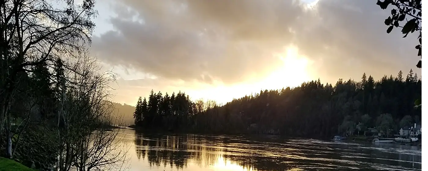
Most people moving to the Portland Metro focus on Portland itself, Beaverton, or Lake Oswego — and overlook Milwaukie almost entirely. That's a real oversight for anyone who prioritizes outdoor access. Sitting on the west bank of the Willamette River, Milwaukie has a recreational footprint that punches well above its size: a volcanic island in the river, a six-mile rails-to-trails corridor that connects to a 20-mile regional loop, a year-round indoor aquatic facility that draws crowds from across Clackamas County, and a riverfront park that doubles as the city's social center. OR-99E (McLoughlin Boulevard) and OR-224 (Milwaukie Expressway) put most of this within a few minutes' drive of anywhere in the city, and downtown Portland is roughly 20 minutes away.
The parks themselves are managed through an intergovernmental agreement between the city and the North Clackamas Parks & Recreation District (NCPRD) — an arrangement that has been in place since 1990 and was most recently updated in 2020. The city owns the land; NCPRD handles staffing, programming, and maintenance. In practice, this means residents get access to a professionally run district's resources without paying to build a standalone parks department. It also means some of the facilities here — particularly the aquatic center — are regional in scale, drawing from well beyond city limits.
One honest seasonal caveat worth knowing before you buy: Milwaukie gets 142 sunny days a year. The trails and riverfront parks are genuinely beautiful in summer and early fall. They are also wet, grey, and often muddy from November through April, and the most celebrated feature — Elk Rock Island — is simply inaccessible on foot during the high-water months of winter and spring. If year-round outdoor access is a non-negotiable, the indoor aquatic park carries a lot of that weight. If you're coming from a sunnier market, plan your expectations accordingly.
This guide covers Milwaukie's signature parks, its trail connections, water-based recreation, and the seasonal rhythms that shape how residents actually use the outdoor amenities here — along with one significant unfinished project at the city's marquee riverfront park that any prospective buyer should know about.
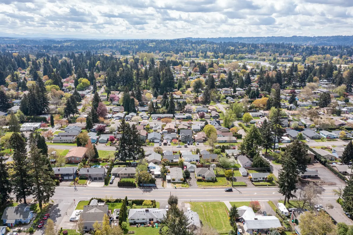
Milwaukie Bay Park and the Willamette Riverfront
The park most people call Milwaukie Riverfront Park officially became Milwaukie Bay Park in 2017 — both names still circulate freely in city materials, so don't let that confuse you. At 8.5 acres adjacent to downtown, it is the city's social anchor: walking paths along the Willamette, picnic areas, a boat ramp, and enough open lawn that on a warm evening it fills up without feeling crowded.
The park went through two major redevelopment phases — the first completed in 2012, the second in 2015. Phase 3, which would add an amphitheater, expanded playground, and a splash pad, has been on hold while the city and NCPRD work through a funding and governance agreement. As of January 2025, the City Council was actively pursuing a resolution. If you're buying in the historic downtown area with an eye on what this park becomes, that context matters: the current version is genuinely useful, but it is not the finished version.
It also serves as the northern trailhead for the Trolley Trail — which is covered in its own section — and the boat ramp gives kayakers and canoeists direct Willamette access without trailering. In December, the park becomes a viewing point for Portland's annual Christmas Ships Parade, drawing enough of a crowd that it functions like a community event even without formal ticketing or programming.
What to Know Before You Go
The riverfront path is flat and paved, accessible for strollers and bikes as well as on foot. The park is genuinely walkable from the Historic Milwaukie (Downtown Milwaukie) neighborhood, and residents in nearby Linwood and Lake Road make it a regular stop. For buyers weighing those neighborhoods, the best neighborhoods page has more on how each one relates to downtown.
Elk Rock Island and Spring Park Natural Area
Elk Rock Island is the outdoor feature that makes Milwaukie feel genuinely unusual. A 12- to 13-acre volcanic island sitting in the middle of the Willamette River, connected to the mainland by a 40-million-year-old land bridge, it transferred from Portland's ownership to Milwaukie's in April 2016. The 0.9-mile loop trail is rated easy, but the experience — native oaks and madrones, vernal pools ringed by wildflowers, views across the river — reads like something you'd drive an hour to reach.
The access constraint is real and worth stating plainly: the island is only reachable on foot when the river is low, typically summer and early fall. In winter and spring, higher water levels cover the land bridge and the island is simply not walkable. First-time visitors who show up in February and find themselves locked out are not making an unusual mistake — it happens regularly. If the island is a selling point of a home in the Island Station neighborhood, know that you'll be waiting until late June most years to walk it.
Spring Park as the Gateway
Spring Park Natural Area, which opened in 2015 after two decades of planning, is the practical launch point for Elk Rock Island and a significant park in its own right. The trail through the park uses compacted crushed rock and boardwalk segments — a design that lets you walk into the surrounding wetlands without disturbing sensitive habitat. The park also has a playground, picnic benches, bike racks, and art installations along the path.
The park sits in the Island Station neighborhood. Kronberg Park, nearby, connects downtown Milwaukie to the Trolley Trail via a dedicated bike and pedestrian bridge over Kellogg Creek — a small but genuinely useful link for residents who want to commute by bike or reach the trail network without driving.
Best for: birding, easy hiking, family nature walks, kayakers seeking river access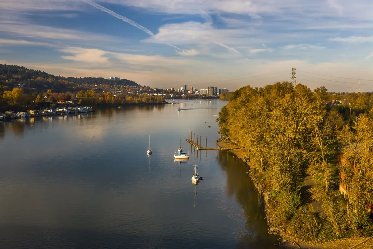
The Trolley Trail: Milwaukie's Backbone Trail
The Trolley Trail is what separates Milwaukie's trail system from a collection of individual parks. A 6-mile paved multi-use path running from Milwaukie Bay Park south to Gladstone — with an extension to Oregon City — it follows the right-of-way of the Portland Traction Company streetcar line that ran from 1893 to 1968. The ghost of that history is still visible in the route: straight, flat, and lined with Oregon white oaks and Douglas firs, passing through Oak Grove and Jennings Lodge, with wetlands along Kellogg Creek running alongside much of the southern stretch.
The practical value for Milwaukie residents is that this isn't a dead-end trail. Combined with the Springwater Corridor and the I-205 Multi-Use Path, the Trolley Trail forms part of an approximately 20-mile loop connecting Portland, Milwaukie, Gladstone, Oregon City, and Gresham — with roughly 84% of that full loop separated from vehicle traffic. That is a regional cycling and running asset, not a neighborhood amenity, and it starts at the city's own downtown waterfront.
Using It Day-to-Day
Commuter cyclists in the Jennings Lodge neighborhood and the southern reaches of the city use the trail for car-free access to downtown Milwaukie and, with connections, into Portland. Families with older kids find the flat paved surface good for longer bike rides without the anxiety of road traffic. The trail is wide enough for runners moving in both directions without conflict.
One friction point that newer residents mention: the trail passes through some genuinely quiet, low-traffic stretches near Kellogg Creek wetlands, but it also crosses several surface streets, and not all of those crossings feel like afterthoughts in good ways. Where it threads through more developed sections of Oak Grove, the scenery is pleasant rather than spectacular. The trail earns its reputation on the southern half, once the tree canopy thickens.
| Trail / Park | Length / Size | Surface | Best Use |
|---|---|---|---|
| Trolley Trail (Milwaukie segment) | 6 miles one-way | Paved | Cycling, running, walking |
| Trolley Trail Loop (full regional) | ~20 miles | Mostly paved, 84% car-free | Long-distance cycling |
| Elk Rock Island Loop | 0.9 miles | Natural surface | Hiking, birding (summer/fall only) |
| Spring Park Natural Area | Neighborhood park | Crushed rock & boardwalk | Walking, wetland access |
| Milwaukie Bay Park paths | 8.5-acre park | Paved | Walking, picnicking, boat launch |
| Kronberg Park connector | Short connector | Paved bridge path | Bike commuting, trail access |
Looking to buy in Milwaukie? Estimate your payment.
Enter your numbers to see an estimated monthly mortgage payment.
Estimate only. Excludes HOA fees and mortgage insurance. The interest rate above is a starting point, not a quoted rate — replace it with your own to see real numbers. Insurance is a flat placeholder, not a Milwaukie quote.
Indoor Recreation, Community Parks, and Seasonal Life
North Clackamas Aquatic Park is the facility that changes the outdoor-recreation calculus for Milwaukie winters. Six pools maintained year-round at 86 degrees, three water slides, a wave pool, a kiddie pool, and a 29-foot rock climbing wall — in a metro region that averages well below 142 sunny days a year in the wet season, that combination does serious work. The facility draws families and competitive swimmers from across Clackamas County and runs what it describes as the largest swim lesson program at a single facility in Oregon. For families with young children, this is a practical consideration that makes the darker months far more manageable.
North Clackamas Park anchors the community sports side of things. Four natural grass softball and baseball fields with lights, scoreboards, and shaded seating serve the youth and adult leagues that run through the warmer months. A picnic shelter accommodating up to 100 people makes it a regular site for community gatherings. The Sara Hite Memorial Rose Garden — a one-acre formal rose garden near the park entrance — is a genuinely pleasant detail that most people don't know about until they stumble across it.
The Milwaukie Farmers Market
The Milwaukie Farmers Market isn't a parks facility, but it functions as one of the primary gathering points in warm months — the kind of weekly event that makes a city feel like a place rather than a suburb. Residents in the Historic Milwaukie and Linwood neighborhoods are close enough to walk. For locals with kids, it's the Friday social ritual that doesn't require a plan.
What Surprises People After Six Months
The thing that catches a lot of newcomers off-guard is how much the recreation calendar splits by season. Summer and early fall in Milwaukie — the farmers market, Elk Rock Island, the riverfront, the Christmas Ships in December — feel almost impossibly good for a city this size and at this price point. Then November arrives, Elk Rock Island goes under water, the farmers market winds down, and the city's outdoor life compresses almost entirely onto the Trolley Trail and into the aquatic center. That's not a reason not to move here — it's the deal with every Oregon city west of the Cascades — but buyers who underestimate it tend to feel it most in their first February.
Youth sports programming through NCPRD gives families with school-age children structured activity year-round. For more on school-adjacent programs and what kids' activities look like in Milwaukie, the schools page covers that ground.
Local Expert Takeaway: Milwaukie's outdoor infrastructure is built around two distinct assets: the Willamette River corridor — Milwaukie Bay Park, Spring Park, and Elk Rock Island — and the Trolley Trail, which connects the city southward to Gladstone and northward into regional trail loops. The river assets are genuinely special and genuinely seasonal. The trail is usable year-round. The North Clackamas Aquatic Park keeps recreational life intact through the wet months in a way that smaller cities in the metro simply cannot match. If you're evaluating Milwaukie against nearby options, the outdoor picture here is stronger than the city's modest size suggests — but you should plan around an Oregon winter, not through it.
Quick Takeaways & FAQs
✅ Elk Rock Island — a volcanic island in the Willamette River with a 0.9-mile loop trail — is one of the more unusual natural features of any Portland-area city.
⚠️ Elk Rock Island is inaccessible on foot in winter and spring when river levels rise, which catches first-time visitors off-guard more often than you'd expect.
📍 The Trolley Trail starts at Milwaukie Bay Park and connects to an approximately 20-mile regional loop — 84% of it separated from vehicle traffic — reaching Portland, Gladstone, Oregon City, and Gresham.
Is Elk Rock Island open year-round?
What is the Trolley Trail and where does it go?
What is North Clackamas Aquatic Park and who can use it?
Who maintains Milwaukie's parks?
What is the status of Phase 3 of Milwaukie Bay Park?
Moving to Oregon?
Tell us what you need help with and we'll connect you with local resources.
