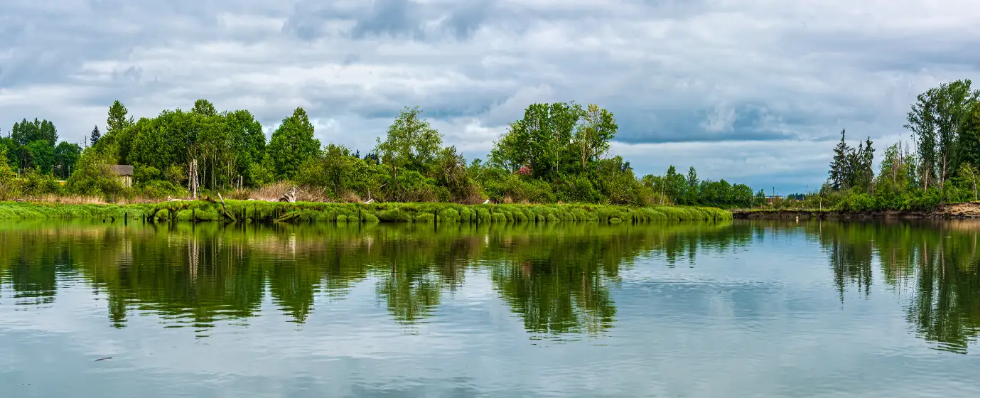
Most people researching a move to Snohomish focus on the historic downtown and the antique district along First Street. What catches them off guard after moving in is the scale of outdoor infrastructure sitting right at the edge of a city of just over 10,000 people. Within a few minutes of the Carnegie Building, you can drop a kayak on the Snohomish River, walk a rail-trail that runs 30 miles north through the Cascade foothills, or access a nature preserve larger than some national monuments. The outdoor access here isn't a weekend-drive situation — it's genuinely walkable or a short bike ride from most neighborhoods.
The city's position at the convergence of the Snohomish River and the Pilchuck River shapes recreation more than any other geographic fact. The river is both a commuter corridor for paddlers and a wildlife corridor for herons, eagles, and osprey. To the east, Lord Hill Regional Park rises above the valley floor with over 30 miles of multi-use trails. To the north, the Centennial Trail stitches together the agricultural benchland between here and Skagit County. Residents who move here for the small-town feel often stay because the outdoor scene turns out to be the real draw.
Seasonal conditions do shape what's practical. Western Washington's persistent November-through-March drizzle doesn't close any of these trails or water routes, but it does make mud a constant companion on unpaved trail segments at Lord Hill from late fall through early spring. Summer weekends on the Centennial Trail can feel genuinely busy — more than 500,000 people use the trail annually — and parking at Cady Park fills early on warm Saturday mornings. These aren't dealbreakers; they're just things worth knowing before you make your first plans.
Whether you're considering a move or already have keys in hand, the sections below break down Snohomish's signature trail system, its urban lake and river paddling network, its largest regional park, and the more unusual recreational draws — including what happens at Harvey Field on a clear summer afternoon.
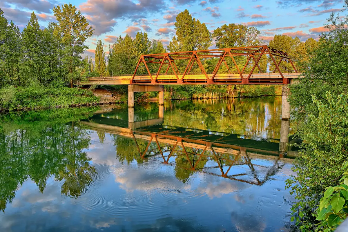
The Centennial Trail: Snohomish's Backbone for Cyclists, Walkers, and Commuters
The Centennial Trail starts in Snohomish and doesn't stop until it reaches the Skagit County line — 30 miles of paved, mostly flat corridor built on the former Burlington-Northern railroad right-of-way. It's open year-round to walkers, cyclists, and runners, with a parallel unpaved path for equestrians alongside several segments.
More Than a Weekend Trail
More than 500,000 people use the Centennial Trail each year, and the mix tells you something: this isn't just a recreational amenity, it functions as a non-motorized commuter route. Residents in the Snohomish Cascade and Highlands East neighborhoods regularly use it to reach downtown without a car. The paved surface stays rideable through the wet season, which matters considerably in a region that averages nearly 40 inches of rainfall annually.
The Snohomish trailhead connects to three public parking areas: Cady Park at 51 Maple Ave along the river, the Carnegie Building lot at 105 Cedar Ave, and Averill Field at 403 Third St. All three are free. On summer weekends, Cady Park fills before 9 a.m. — arriving early or cycling to the trailhead from your neighborhood is the practical move.
The South Extension — Coming, But Not Yet Open
Snohomish County completed railbanking of the corridor from the city south to the King County line in August 2024, and resumed planning in 2025 for a phased 12-mile extension toward Woodinville — which would eventually connect the Centennial Trail to the Burke-Gilman Trail and create a continuous non-motorized corridor into the Seattle metro. That segment is not yet open to the public, and the planning timeline runs through the late 2020s. It's worth knowing about if you're a cycling commuter weighing Snohomish against a closer-in suburb, but don't factor it into your day-one calculus.
| Trail Feature | Detail |
|---|---|
| Total length (open) | 30 miles, Snohomish to Skagit County line |
| Surface | Paved (asphalt); separate unpaved equestrian path |
| Annual users | 500,000+ |
| Snohomish trailhead parking | Cady Park, Carnegie Building lot, Averill Field (all free) |
| South extension (planned) | ~12 miles to Woodinville; railbanking complete Aug 2024; not yet open |
| Uses permitted | Walking, running, cycling, inline skating; equestrians on side path |
| Season | Year-round; paved surface suitable even in wet months |
The trail's flat grade and paved surface make it one of the most genuinely accessible recreational assets in Snohomish County — useful for everyone from competitive cyclists logging miles toward Arlington to parents running strollers on a Tuesday morning.
Blackmans Lake and the Snohomish River: Urban Water Recreation
Snohomish has two distinct water recreation settings within city limits, and they attract different crowds. Blackmans Lake, a 61-acre lowland lake at 144 feet elevation, is the quieter of the two — no internal combustion motors allowed, which keeps the surface calm and makes it genuinely pleasant for paddleboarding and canoeing even when the weather is borderline.
Blackmans Lake: A Fishing and Paddling Pocket
The Washington Department of Fish & Wildlife stocks Blackmans Lake with Rainbow Trout and Coastal Cutthroat Trout each season. Resident species include Largemouth Bass, Yellow Perch, and Common Carp — meaning the lake fishes reasonably well outside stocking windows too. Two city parks sit on its shoreline: Hill Park on the eastern shore has two ADA-accessible fishing docks, and Ferguson Park on the southeast shore has a boat launch.
Ferguson Park carries a distinction worth knowing: it's listed on Audubon's Great Washington State Birding Trail. Early mornings here in spring and fall produce sightings that would impress birders who drive much farther for the same experience. The no-motor rule keeps the lake quiet enough to make it practical.
The Snohomish River: From Downtown to the Estuary
Cady Park at 51 Maple Ave — a 2.5-acre green space right in Historic Downtown — serves as the upstream put-in for paddlers heading downriver toward Everett. The park provides a free non-motorized boat launch and an on-site kayak rack. The Mountaineers document the route from Cady Park through Rotary Park and Langus Park to the 10th Street Boat Ramp in Everett as a popular tidal-assisted run — meaning if you time it with the outgoing tide, much of the work is done for you.
Downstream, the Snohomish River opens into one of the most productive wildlife estuaries in the Pacific Northwest. Where the river meets Possession Sound, over 32 miles of shoreline wind through a network of sloughs, and at least 350 bird species use the estuary — blue heron, bald eagles, osprey, and river otters are common enough that they stop being surprising after your first few paddles.
| Water Feature | Location | Access Point | Key Uses |
|---|---|---|---|
| Blackmans Lake (61 ac) | Within city limits | Hill Park (E shore), Ferguson Park (SE shore) | Fishing, kayaking, paddleboarding, birding |
| Snohomish River (city reach) | Historic Downtown edge | Cady Park, 51 Maple Ave (free launch) | Kayaking, canoeing, fishing |
| Snohomish River Estuary | Downstream toward Possession Sound | Multiple county water trail points | Kayaking, wildlife viewing, birding |
One practical note: Cady Park's kayak rack fills on warm summer weekends, and the parking lot is shared with Centennial Trail users. Getting there before 9 a.m. on a Saturday saves the frustration of circling.
Lord Hill Regional Park: The Backcountry at the City's Edge
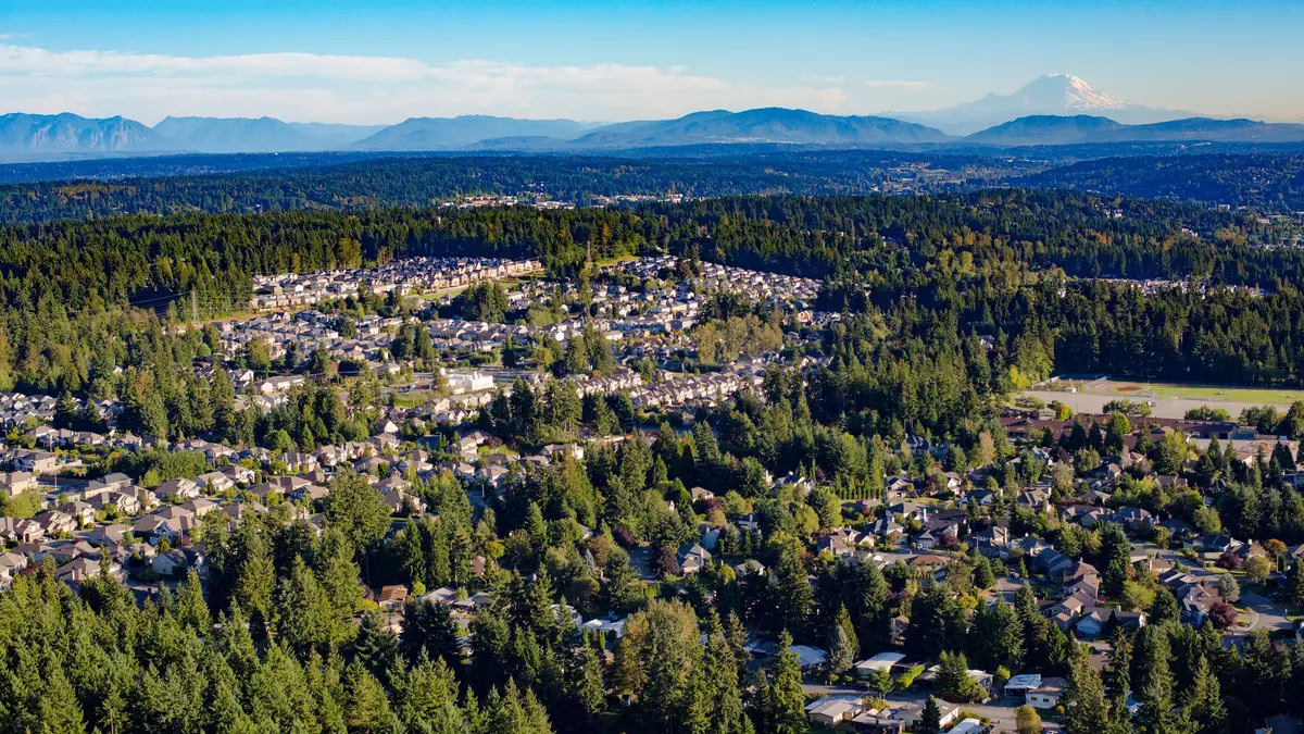
Lord Hill Regional Park sits between Snohomish and Monroe — close enough that you can reach the trailhead in under fifteen minutes from First Street, but large enough that you can get genuinely lost in it if you're not paying attention. At 1,463 acres with over 30 miles of designated trails, it's the kind of asset that smaller cities would build a regional identity around. Snohomish has it effectively in its backyard.
Who Uses It and How
The trail network is designated for hikers, mountain bikers, and equestrians — all three communities use it heavily, and the trailhead parking area is sized accordingly, with room for up to 25 horse trailers. That's not a detail you'd find at a typical suburban park; Lord Hill is a genuine multi-use preserve designed for people who arrive with animals or full suspension bikes, not just trail runners.
Mountain bikers specifically rate Lord Hill among the best natural-surface riding in the greater Seattle area. The trail system has enough elevation change and technical variation to hold interest for experienced riders, while remaining navigable for intermediate riders willing to walk the steeper sections.
The Views That Justify the Climb
At Devil's Butte Lookout and along the Pipeline Trail ridge, the park opens up to panoramic views of the Snohomish River valley with both the Cascade and Olympic mountain ranges visible on clear days. This being the Pacific Northwest, clear days in winter require some patience — but when the weather cooperates between June and October, the view from the ridge is the kind that makes newcomers understand why people pay what they pay to live here.
The park has no entry fee and no permit system for day use. The catch is that unpaved trails become genuinely muddy from November through March — not unrideable, but hard on equipment and hard on trail surfaces. Most regulars switch to the Centennial Trail's paved corridor through the wet season and return to Lord Hill when the soil firms up in late spring.
| Feature | Detail |
|---|---|
| Total acreage | 1,463 acres |
| Designated trail miles | 30+ miles |
| Permitted uses | Hiking, mountain biking, equestrian |
| Horse trailer parking | Up to 25 trailers at trailhead |
| Signature viewpoints | Devil's Butte Lookout, Pipeline Trail ridge |
| Views from ridgeline | Snohomish River valley, Cascades, Olympics |
| Day-use fee | None |
| Best season for unpaved trails | Late April through October |
For families with kids who want structured outdoor programming alongside open trails, see the full breakdown on the schools page for youth activities and organized sports available through the city.
Looking to buy in Snohomish? Estimate your payment.
Enter your numbers to see an estimated monthly mortgage payment.
Estimate only. Excludes HOA fees and mortgage insurance. The interest rate above is a starting point, not a quoted rate — replace it with your own to see real numbers. Insurance is a flat placeholder, not a Snohomish quote.
Harvey Field and Sky-High Recreation: What Happens at the Airport
Harvey Airfield — FAA identifier S43 — sits on 145 acres along Airport Way in Snohomish and is one of the more unusual recreational assets in the greater Seattle area. It's a privately owned, public-use airport with 261 based aircraft, two runways (one asphalt, one turf), and nearly two dozen on-site businesses. Most of those businesses are aviation-adjacent, but two of them explain why civilians with no interest in flying end up at Harvey Field on summer weekends.
Skydive Snohomish
Skydive Snohomish has operated at Harvey Field since 1999–2000 and now handles nearly 20,000 tandem students and experienced skydivers per year — a volume that makes it one of the busiest drop zones in the Pacific Northwest. In January 2025, new owners Mayon and Elizabeth Hight took over operations. The jump zone is the Snohomish River Valley, which from altitude looks like a topographic map of everything that makes this corner of Washington distinctive: the braided river channels, the agricultural benchland, and the Cascades rising to the east.
For a small city, having a facility of this scale operating within city limits is genuinely unusual. Residents regularly bring out-of-town guests to Harvey Field specifically for the experience — it's become an informal part of how locals show off the area.
Snohomish Balloon Rides
Also operating from Airport Way, Snohomish Balloon Rides offers hot-air balloon charters over the same river valley. Morning launches in the summer months — when the valley fog burns off and the wind conditions are favorable — produce views of the Cascades and Puget Sound lowlands that no ground-level trail can replicate. The operation is weather-dependent, and summer weekends book out well in advance.
A Note on the Airfield's Character
Harvey Field has a working-airport energy that's different from a recreational park — planes are landing and departing throughout the day, and the turf runway in particular generates a kind of low-level activity that aviation enthusiasts find compelling and non-pilots occasionally find surprising. If you live in the Machias or Cathcart areas near the airfield, you're already familiar with the ambient aircraft noise that comes with proximity. For most of the city, it's background.
| Harvey Field Feature | Detail |
|---|---|
| Total acreage | 145 acres |
| Based aircraft | 261 |
| Runways | 2 (asphalt + turf) |
| On-site businesses | Nearly two dozen |
| Skydive Snohomish | ~20,000 jumpers/year; operating since 1999–2000; new owners as of Jan 2025 |
| Snohomish Balloon Rides | Hot-air balloon charters; seasonal; weather-dependent |
| Location | Airport Way, Snohomish WA |
Harvey Field is one of those local details that doesn't show up in a generic suburb comparison but ends up being a defining feature of life here — the kind of thing longtime residents mention casually and newcomers are genuinely surprised to find.
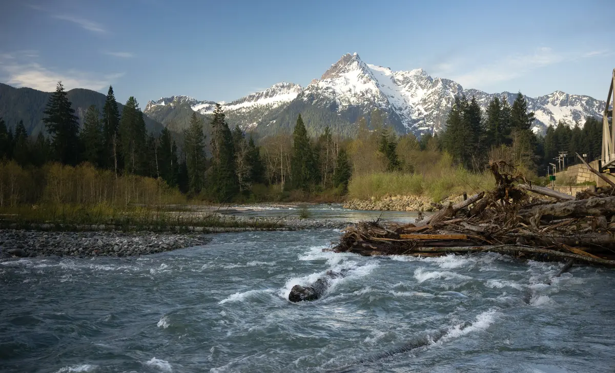
Local Expert Takeaway: Snohomish's outdoor recreation infrastructure is disproportionate to its population — a 30-mile paved trail, a 1,463-acre backcountry preserve, a 61-acre no-motor lake with ADA fishing docks, a river estuary with 350 bird species, and a skydiving operation handling 20,000 jumpers a year, all within 15 minutes of downtown. The practical friction is seasonal: Lord Hill's unpaved trails are genuinely muddy November through March, Cady Park's parking fills fast on summer weekend mornings, and the Centennial Trail's south extension toward Woodinville remains in planning, not yet open. If you're an active household comparing Snohomish to a closer-in suburb, the outdoor access here is the argument — just plan your mud season pivot to the Centennial Trail's paved surface and arrive early when the sun finally shows up.
Quick Takeaways & FAQs
✅ The Centennial Trail starts in downtown Snohomish and runs 30 paved miles north — more than 500,000 people use it annually as both a recreational trail and a non-motorized commute corridor.
⚠️ Lord Hill Regional Park's unpaved trails become significantly muddy from November through March, which pushes most regular users back to the paved Centennial Trail for the wet half of the year.
📍 Cady Park at 51 Maple Ave in Historic Downtown is the upstream put-in for the tidal-assisted Snohomish River paddle toward Everett — arrive before 9 a.m. on summer weekends to guarantee parking.
Is the Centennial Trail paved the entire way from Snohomish?
Can you swim in Blackmans Lake?
How difficult are the trails at Lord Hill Regional Park?
What's the best way to start a Snohomish River kayak or canoe trip?
Is Skydive Snohomish at Harvey Field open to first-time jumpers?
Moving to Washington?
Tell us what you need help with and we'll connect you with local resources.
