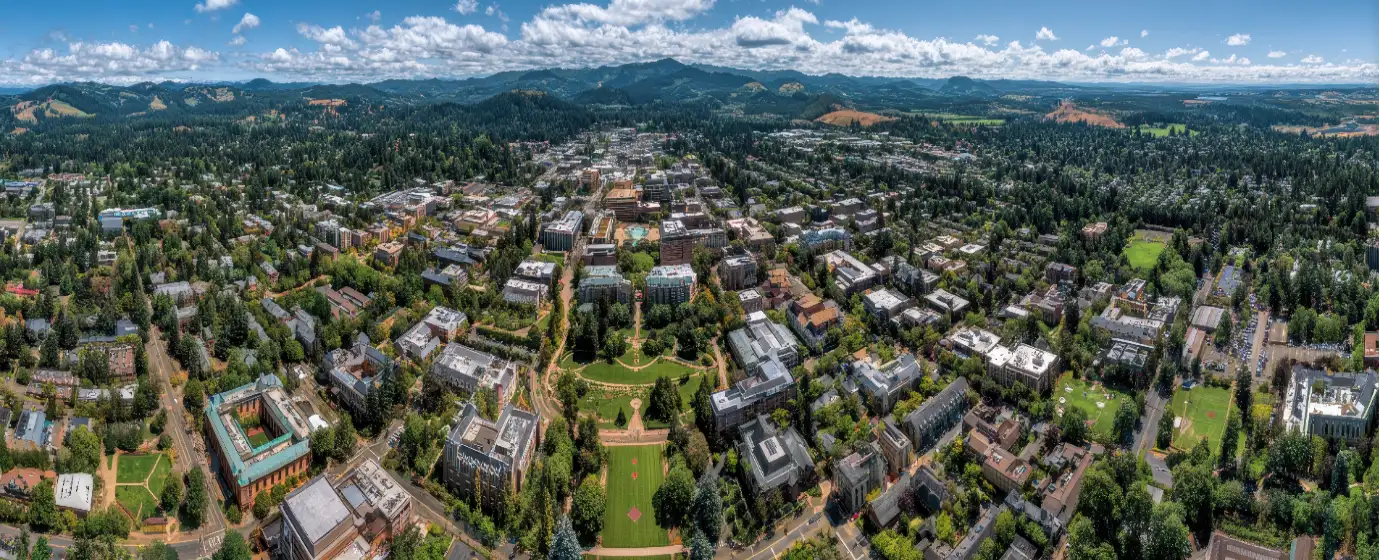
People who move to Corvallis from drier climates spend their first winter inside, watching the rain, wondering if they made a mistake. Then spring arrives, the hills go electric green, and they discover what 61,247 residents already know: this city is surrounded by more maintained, accessible outdoor space than almost any other mid-sized city in Oregon. Over 2,000 acres of parks, trails, and natural areas sit inside or within easy reach of city limits — a per-capita footprint that rivals cities twice its size.
What makes that number tangible is the variety. You can walk to the Willamette River from downtown. You can mountain bike in a working research forest that borders the city's northwest edge. You can summit the highest point in Oregon's Coast Range on a day trip. And in between, there are rose gardens, riparian trails, all-inclusive playgrounds, and a riverfront farmers market that anchors the warm-weather calendar. Oregon State University's presence shapes the outdoor culture here too — the research forest is literally an OSU campus, and the trail-building ethic runs deep in a city full of scientists, foresters, and engineers who spend their weekends outside.
The honest tradeoff: Corvallis sees 159 sunny days a year. The trail network is extraordinary, but you will learn to hike in light rain, and the lower-elevation trails can be muddy from November through March. That is not a dealbreaker for most people who choose this city — it is simply the texture of life here. Knowing which trails hold up in wet weather and which do not is the kind of local intelligence that takes about one season to acquire.
Whether you are relocating to Corvallis or still deciding, this guide covers the signature parks, the trail system, water-based recreation along the Willamette and Marys rivers, and what outdoor life actually looks like across the seasons.
Signature Parks: From Riverfront to Rose Garden
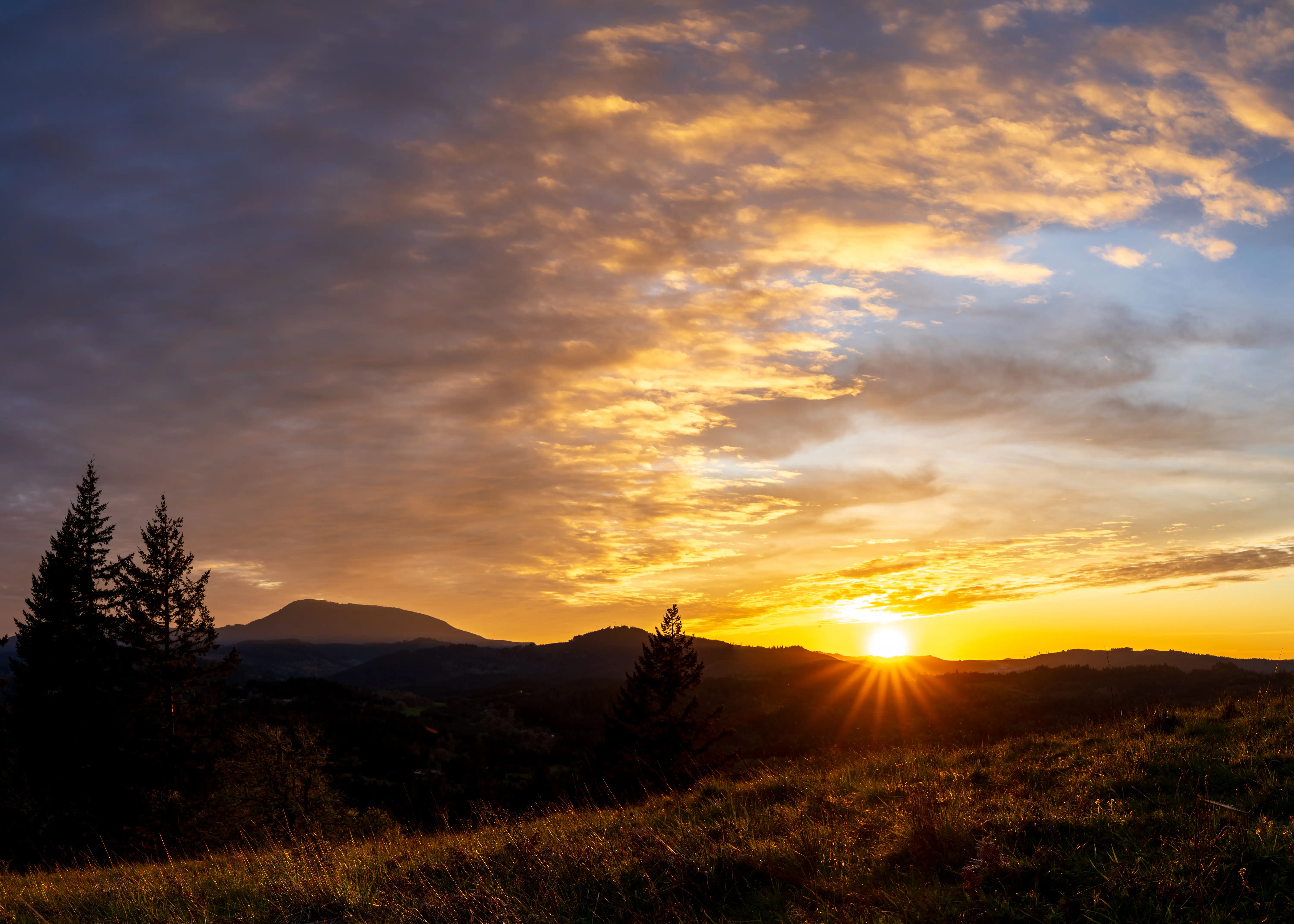
Riverfront Commemorative Park is the most visible expression of what Corvallis believes a downtown should be. Dedicated in 2002 on land that once held abandoned industrial buildings and surface parking, the park runs along the Willamette River and was designed as a deliberate civic showcase — over 350 ornamental trees, more than 5,000 decorative shrubs, and sculptures by five different artists anchoring the three main plazas: Helen M. Berg, Howland, and Monroe.
The interactive spray fountain is the park's most-loved feature for families with young kids, making it the city's de facto summer gathering spot. A 12-foot-wide paved multi-modal trail runs the length of the park and connects at its southern end to a skate park, Pioneer Park, and the Corvallis–Philomath multi-modal path — giving cyclists and pedestrians a continuous corridor that extends well beyond downtown. The neighborhood character of Downtown Corvallis is inseparable from this park; it is genuinely the reason people choose to live within walking distance.
A weekly farmers market runs on the park's edge through the warm months. It is one of those weekly rituals that new residents find within their first month and rarely skip.
Avery Park: The South Side Anchor
Avery Park and Natural Area covers 75 acres along a river corridor south of downtown. On paper it reads as a standard city park — sports fields, five reservable picnic shelters, a one-mile riverside trail. In practice, it pulls people in for reasons that take a while to articulate.
The rose garden is the most specific of those reasons: dozens of varieties bloom through the warm months, with peak color in early summer. The rhododendron garden and the competition horseshoe pits — which host an annual regional tournament — give the park a specificity that most municipal green spaces never achieve. The Avery House Nature Center adds a naturalist dimension that makes the park genuinely useful for parents with curious kids, rather than just a place to let them run.
The all-inclusive playground, completed in fall 2024, was the community's first. It features adaptive equipment and artificial turf surfacing with antistatic technology — a meaningful addition for families with children who have mobility differences, and the kind of investment that signals how seriously this city takes its parks budget.
| Park | Size | Signature Feature | Best For |
|---|---|---|---|
| Riverfront Commemorative Park | Along Willamette River | Interactive fountain, sculptures, farmers market | Walkable Families |
| Avery Park & Natural Area | 75 acres | Rose garden, inclusive playground | Families Nature |
| Bald Hill Natural Area | 284 acres | 755-ft treeless summit, panoramic views | Nature Views |
| McDonald-Dunn Research Forest | ~11,250 acres | 35 miles of trails, OSU-managed working forest | Nature Quiet |
| Marys Peak | 4,097 ft summit | Highest Coast Range peak; 360° views | Views Nature |
Trails and Natural Areas: 102 Miles Across Every Skill Level
Corvallis's trail network covers more than 102 miles across over 37 mapped trails — a figure that consistently surprises people moving from larger metros where that kind of mileage would be spread across an entire county. Here it is mostly within or immediately adjacent to city limits, which changes daily life in a concrete way: you do not need a weekend and a car to get trail time.
Bald Hill Natural Area
Bald Hill is where Corvallis residents go when they want a real workout on a weeknight. The 284-acre natural area west of the city offers approximately 5 miles of dirt and gravel trails ranging from easy to rigorous, plus a 1.5-mile paved multi-use path connecting Reservoir Road with Oak Creek Road. The summit sits at 755 feet — modest by Oregon standards, but the treeless top earns it. On a clear day you can see Marys Peak to the southwest, the Coast Range stretching north and south, and the Cascade foothills to the east, with Corvallis laid out below you.
It is the kind of trail that works for a 45-minute after-work loop or a longer circuit depending on which combination of paths you string together. New residents tend to discover it in their first week and return to it indefinitely.
McDonald-Dunn Research Forest
Most cities of Corvallis's size do not have 11,250 acres of managed forest bordering their northwest edge. McDonald-Dunn is an OSU College of Forestry research property, but its 35 miles of trails are open to hikers, mountain bikers, and equestrians. The forest has a working, purposeful feel — it is not wilderness, it is actively managed, and you will sometimes share the trails with forestry crews — but for a sustained multi-hour escape into Douglas fir canopy, nothing else in the city comes close.
A new forest management plan entered public comment in June 2025, the first update since 2005. For trail users, that process is worth following: the plan will shape which trail uses are prioritized and how the forest's recreational character evolves over the next two decades.
What Locals Know About Wet-Season Trails
The lower-elevation dirt trails — including much of Bald Hill and the unpaved sections of McDonald-Dunn — become genuinely muddy from November through March. Most experienced Corvallis hikers keep a second pair of shoes in the car. The paved multi-modal paths through Riverfront Commemorative Park and Avery Park stay usable year-round and are the go-to for winter walks. Planning around this distinction is the single most useful piece of trail knowledge a newcomer can acquire.
Marys Peak: The Day Trip That Defines Corvallis Outdoor Life
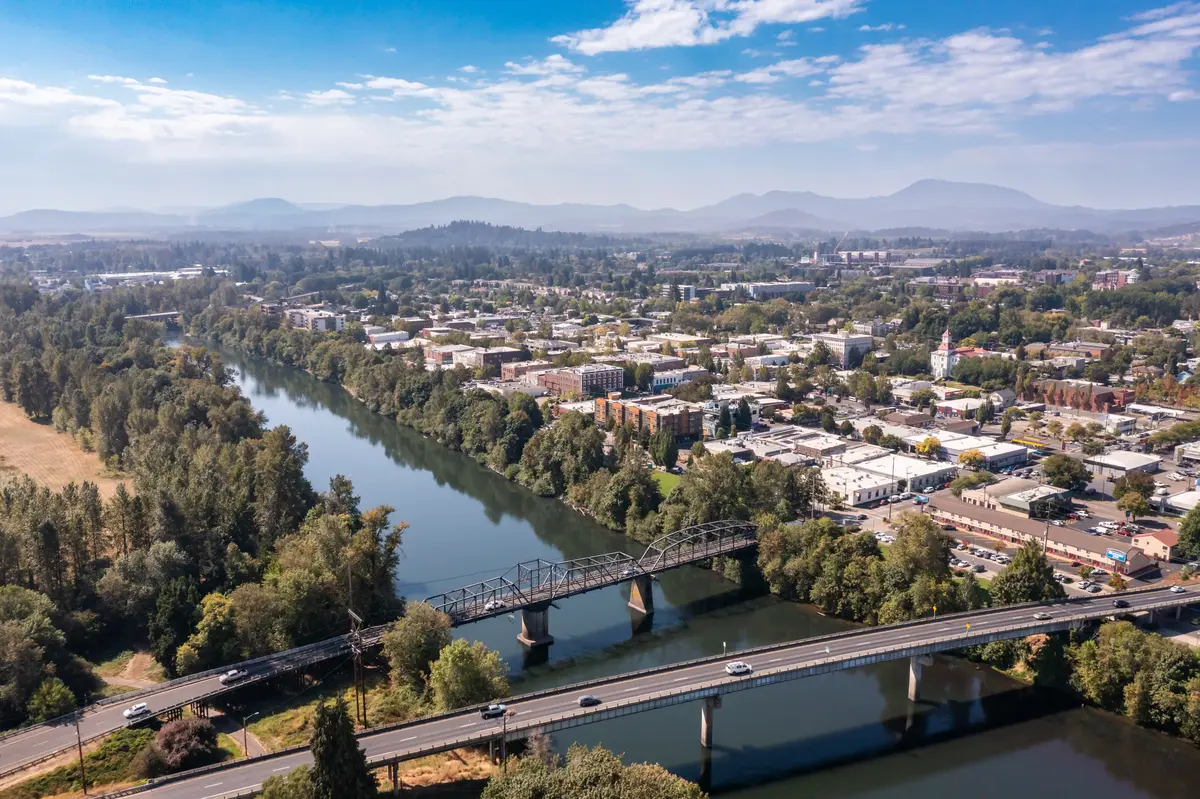
At 4,097 feet, Marys Peak is the highest point in Oregon's Coast Range. It sits west of Corvallis — close enough to be a genuine day trip, far enough that reaching the summit feels earned. From the summit meadow the views extend 360 degrees: the Willamette Valley spreads east, the Pacific Ocean appears to the west on clear days, and Cascade peaks from Mount Rainier south to Diamond Peak mark the eastern horizon. No other hike within an hour of Corvallis matches that payoff.
The summit loop trail was reengineered by Trailkeepers of Oregon in 2025 to route around sensitive meadow areas — a restoration project that improved both the ecological health of the summit and the trail experience itself. The rerouted path is now the recommended line.
Seasonal Use on Marys Peak
The mountain earns its place in Corvallis's outdoor calendar in every season, though each one requires different preparation. Late spring and early summer bring wildflower viewing in the summit meadow — one of the Willamette Valley's more reliable floral displays. Winter transforms the upper elevations into terrain for Nordic skiing and snowshoeing, accessible when snowpack allows. Mountain bikers have a dedicated singletrack option: an 11-mile loop via the East Ridge and North Ridge trails with more than 2,500 feet of climbing, permitted May 15 through October 15. Road cyclists use the winding access road as a training climb year-round.
The honest note for newcomers: Marys Peak sits in the Coast Range, which means it catches weather systems before they reach the valley. A clear morning in Corvallis can mean low clouds and limited visibility at the summit. Checking the forecast specifically for the peak — not just for the city — is something experienced locals do automatically. It is a small adjustment that makes a meaningful difference in the quality of the trip.
For families thinking about recreation and youth programming alongside outdoor access, the Corvallis School District page covers outdoor education and youth activity options in more depth.
Looking to buy in Corvallis? Estimate your payment.
Enter your numbers to see an estimated monthly mortgage payment.
Estimate only. Excludes HOA fees and mortgage insurance. The interest rate above is a starting point, not a quoted rate — replace it with your own to see real numbers. Insurance is a flat placeholder, not a Corvallis quote.
Water, Weekends, and the Seasonal Rhythm of Outdoor Life
Two rivers define Corvallis's outdoor geography. The Willamette runs along the city's eastern edge — wide, slow-moving in summer, and the reason Riverfront Commemorative Park exists where it does. A smaller river cuts through the south side, threading through Avery Park and providing the riparian corridor that makes that park's trail feel like a nature walk rather than a loop around a playing field.
Both rivers draw paddlers, anglers, and swimmers in summer. The Willamette's calm summer character makes it accessible to novice canoeists and kayakers. Fishing within Avery Park offers a quieter alternative to the more trafficked Willamette access points. What neither river offers is dramatic whitewater — for that, residents drive. But for an evening on the water without leaving the city, the infrastructure is genuinely there.
The Weekly Gathering Point
The farmers market adjacent to Riverfront Commemorative Park is the city's most consistent seasonal gathering, running through the warm months. It functions as the weekly social anchor for much of the city's outdoor-oriented population. You will run into your neighbors there in a way that does not happen at the grocery store. For newcomers trying to plug into community life, it is often the first place that feels like a real introduction to the city rather than just a transaction.
What Surprises People After Six Months
Most people who move to Corvallis expecting to use the parks do use them — more than they expected, actually, because the access is so immediate. What surprises them is how much the outdoor culture here is driven by the university's presence. OSU brings a rotating population of graduate students, researchers, and faculty who treat the trails, the forest, and the rivers as extensions of their professional lives. Trail maintenance volunteer groups, naturalist walks through Avery Park, citizen science projects in McDonald-Dunn — these are not city-organized afterthoughts. They are the texture of how outdoor recreation actually works in Corvallis, and plugging into them is how residents move from using the parks to feeling at home in them.
For buyers weighing outdoor access against housing costs, the cost of living in Corvallis page breaks down the full picture, including what the city-wide typical home price means for different budgets.
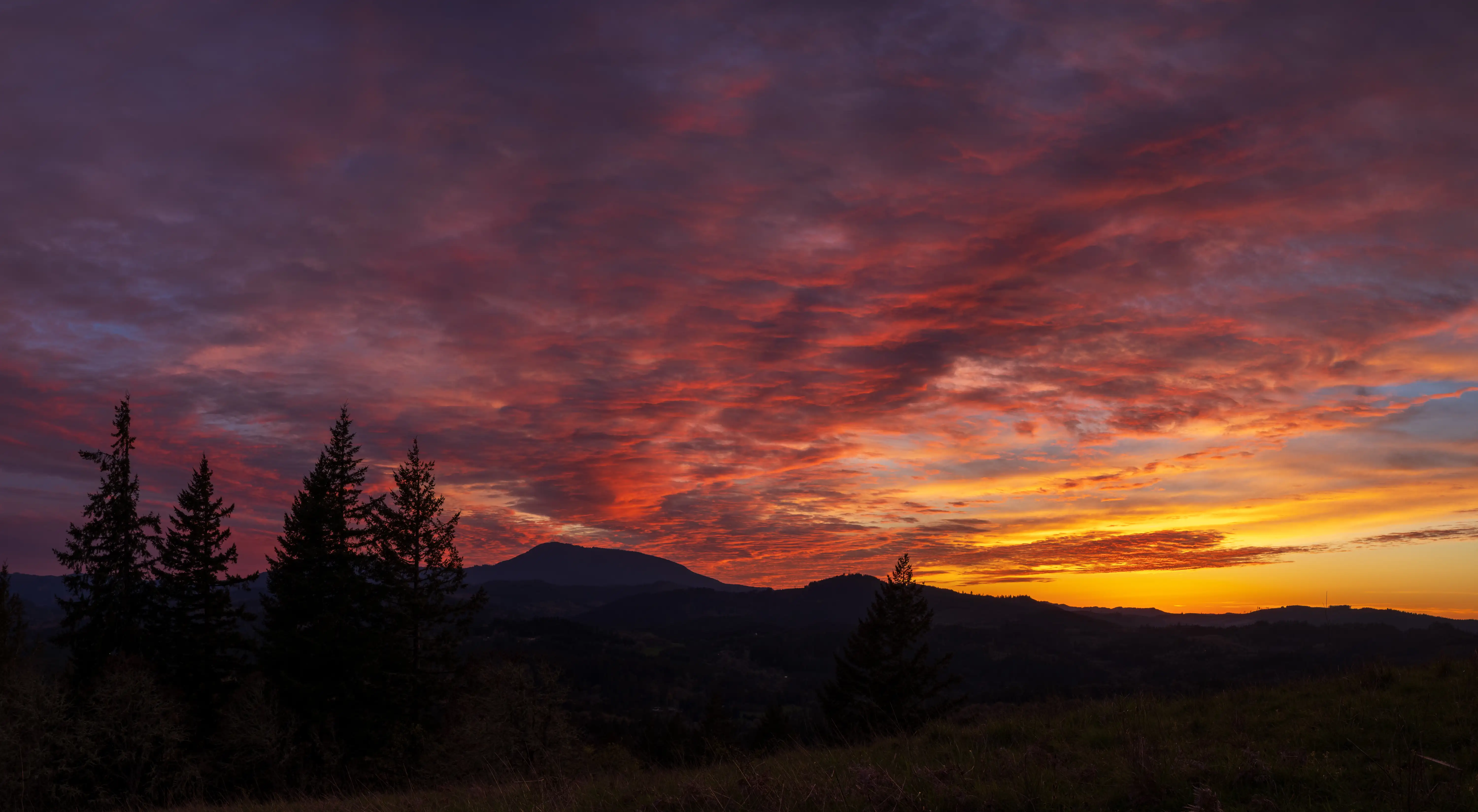
Local Expert Takeaway: Corvallis punches well above its weight on outdoor access — over 2,000 acres of managed parks and natural areas, 102 miles of trails, a working research forest on the city's doorstep, and Marys Peak a short drive west. The riverfront park is genuinely beautiful and the rose garden at Avery Park is one of those specific local details that surprises people who expected a generic municipal green space. The honest caveat: the dirt trails are muddy from November through March, and learning to work around that seasonal reality — using the paved paths at Riverfront and Avery Park in winter, saving Bald Hill and McDonald-Dunn for drier weeks — is the thing no one tells you before you arrive.
Quick Takeaways & FAQs
✅ Corvallis maintains over 2,000 acres of parks and natural areas for a city of 61,247 — an outdoor footprint that most residents cite as the primary reason they stay.
⚠️ The lower-elevation dirt trails at Bald Hill and McDonald-Dunn Research Forest turn genuinely muddy from November through March, which requires seasonal adjustment for hikers who are used to year-round trail access.
📍 Marys Peak's summit loop was rerouted in 2025 by Trailkeepers of Oregon to protect sensitive meadow areas — the new line is now the recommended route, so older trail descriptions may not match current conditions.
How many miles of trails does Corvallis have?
Is Marys Peak accessible as a day trip from Corvallis?
What is the best park in Corvallis for families with young children?
Can the public use the McDonald-Dunn Research Forest?
Are Corvallis parks usable in winter?
Moving to Oregon?
Tell us what you need help with and we'll connect you with local resources.
