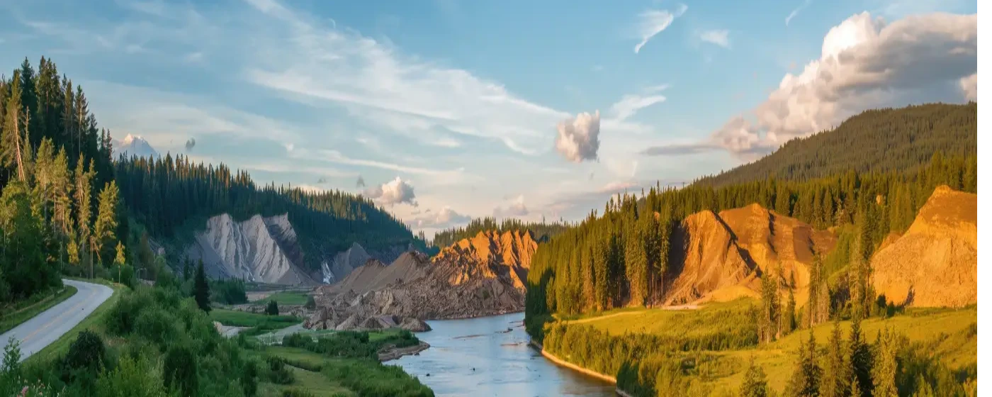
Most people researching Arlington focus on what it costs to live here or how long the commute to Everett runs. What catches newcomers off guard after six months is the sheer amount of outdoor infrastructure sitting right outside the front door. Two rail trails. A dam-free river that runs wild salmon and steelhead. A downtown park with a live performance stage. Arlington sits at the confluence of the North and South Forks of the Stillaguamish — locals call it the Stilly — and that geography shapes recreation here in a way that no suburb further south can replicate.
The Centennial Trail is the backbone of daily outdoor life in Arlington. It passes directly through downtown, connects south toward Snohomish and north toward the Skagit County line, and has spawned an Art Walk, a public Sound Garden, and the Haller Bridge Park river access point along its path. Beyond the trail, the Whitehorse Regional Trail extends 27 miles east toward Darrington along the North Stillaguamish Valley — a route that puts serious cycling, hiking, and equestrian terrain within reach of a commuter suburb. The outdoor scene here is not aspirational; it is functional and already built.
Families with kids and anyone who cycles, fishes, or paddles will find Arlington punches well above its population size of roughly 22,000 people. Seasonal events at Legion Memorial Park anchor the summer calendar, and the river corridor draws wildlife watchers year-round — bald eagles, great blue herons, and river otters are regulars along the Stilly. After a trail ride, 210 Brewing Co on Stoluckquamish Lane — owned by the Stillaguamish Tribe of Indians — is a natural stop, with the river's namesake woven into both the brewery's identity and its address.
Whether you're deciding whether to move here or figuring out what life will actually look like once you do, the sections below break down Arlington's signature parks, trail network, river recreation, and seasonal outdoor calendar in full detail.
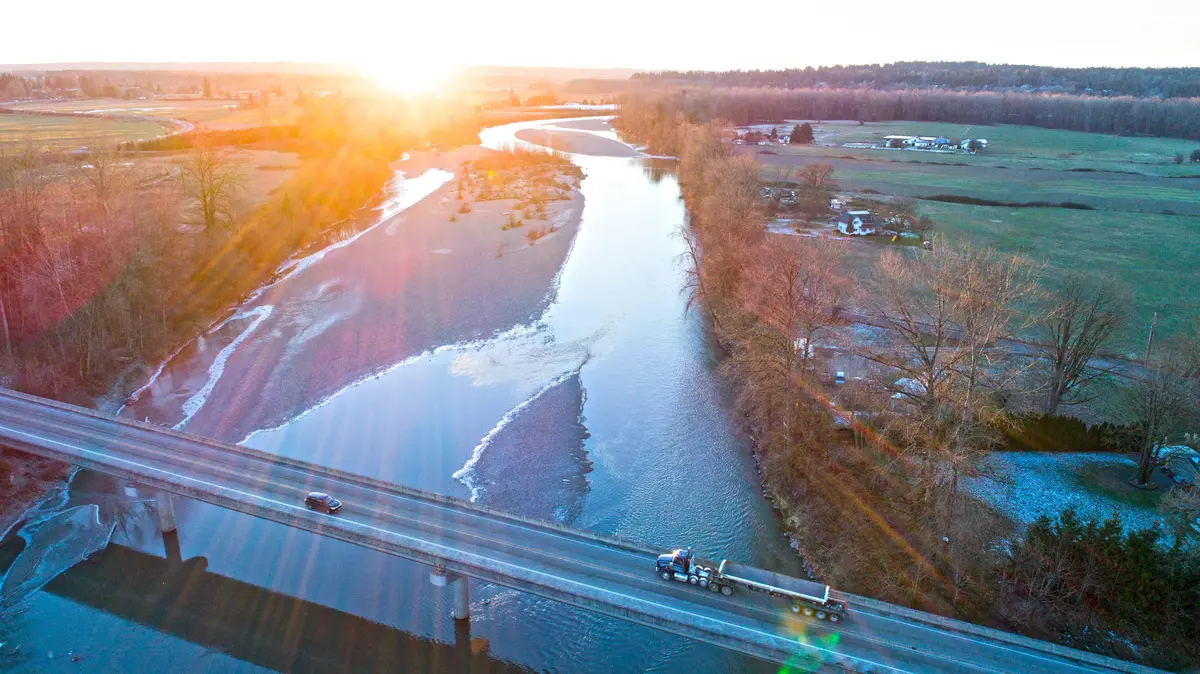
Legion Memorial Park and Downtown Green Space
Legion Memorial Park at 114 N Olympic Ave is the social anchor of downtown Arlington — not just a patch of grass, but the place where the city visibly shows up. The park's gazebo and stage host ticketed concerts, community festivals, and informal performances every summer, with the stage formally reserved for public special events from June 1 through September 30.
The veteran's memorial sponsored by the American Legion gives the park its name and a quiet gravity at its center. Walk around it and you'll also find a visitor information center, public art installations, restrooms, and picnic tables set under mature trees. For a city of 22,000, having all of that in one walkable downtown block is genuinely useful — it's where you take visiting family in July and where kids run off energy after school in September.
The Sound Garden Connection
Just south of Legion Park, the Centennial Trail passes through an interactive Sound Garden — a set of publicly accessible musical instruments built into the trail corridor. It reads as quirky until you see kids stop mid-ride to play it. The Art Walk murals and sculptures along this same stretch of trail make the downtown passage feel more like a cultural corridor than a commuter path.
The Centennial Trail's intersection with the park is not incidental. It turns Legion Memorial into a genuine trailhead: you can park, visit the visitor center, play the Sound Garden, and roll out onto a 30-mile paved route without moving your car. That combination — civic gathering space plus trail access — is what makes downtown Arlington's outdoor infrastructure feel intentional rather than assembled over decades of accident.
Best for: Families with school-age children, cyclists looking for a central trailhead, summer event-goers, and anyone who wants walkable green space within downtown Arlington.The Centennial Trail: Arlington's 30-Mile Backbone
The Snohomish County Centennial Trail runs 30 miles of paved, multi-use pathway from the City of Snohomish northward through Lake Stevens, Marysville, and Arlington to the Skagit County line. Arlington sits roughly in the trail's upper third — which means you have the full southern reach toward Snohomish available for longer rides, and the newer northern segment heading toward Skagit County for a more open, rural feel.
The trail was built on the former Burlington Northern Railroad corridor and established to mark Washington State's centennial in 1889. Hundreds of thousands of people use it annually. Trails consistently rank as the top amenity Snohomish County residents say they want more of — which makes the fact that Arlington has direct trail access through its downtown an actual competitive advantage for the city.
The Northern Segment: Wider and Wilder
The northern segment added nine miles of 12-foot paved multipurpose surface and a parallel 6-foot soft-surface equestrian trail on county-owned right-of-way running north from Arlington toward the Skagit County line. Horses are not permitted on the paved section inside Arlington city limits, but the parallel soft trail on the northern segment opens equestrian use properly. If you're moving here with horses or ride regularly, the distinction matters: the northern extension is where that happens.
Planning is already underway for a phased 12-mile southward extension toward Woodinville — after Snohomish County concluded abandonment and railbanking of the corridor from Snohomish to the King County line in August 2024, trail planning resumed in 2025. That connection won't happen overnight, but the direction of travel is clear.
What the Trail Looks Like Day to Day
On any dry weekend morning, the Centennial Trail through downtown Arlington fills with cyclists, joggers, parents with strollers, and the occasional in-line skater. Weekday mornings are quieter — genuine commuter cyclists use sections of it to reach transit connections further south. The surface is well-maintained and consistently paved, which matters here: western Washington winters are wet, and a muddy gravel trail stops being useful in November. This one doesn't.
| Segment | Surface | Approximate Length | Equestrian Allowed | Key Features |
|---|---|---|---|---|
| Arlington Downtown | Paved | ~2 miles through city core | No | Art Walk, Sound Garden, Legion Park access |
| South toward Marysville / Lake Stevens | Paved | ~12 miles | No (paved section) | River views, wetland corridors, Haller Bridge Park |
| North toward Skagit County line | Paved + soft surface parallel | ~9 miles | Yes (soft surface trail) | Open farmland, rural quiet, equestrian access |
| South Extension (planned) | Paved (planned) | ~12 miles toward Woodinville | TBD | Phase planning began 2025; decade-long horizon |
The trail is open year-round. Rain gear is not optional in November through March — but the infrastructure holds up through it.
Best for: Cyclists, joggers, families with strollers, equestrians (northern segment), and anyone who wants car-free access across a 30-mile corridor.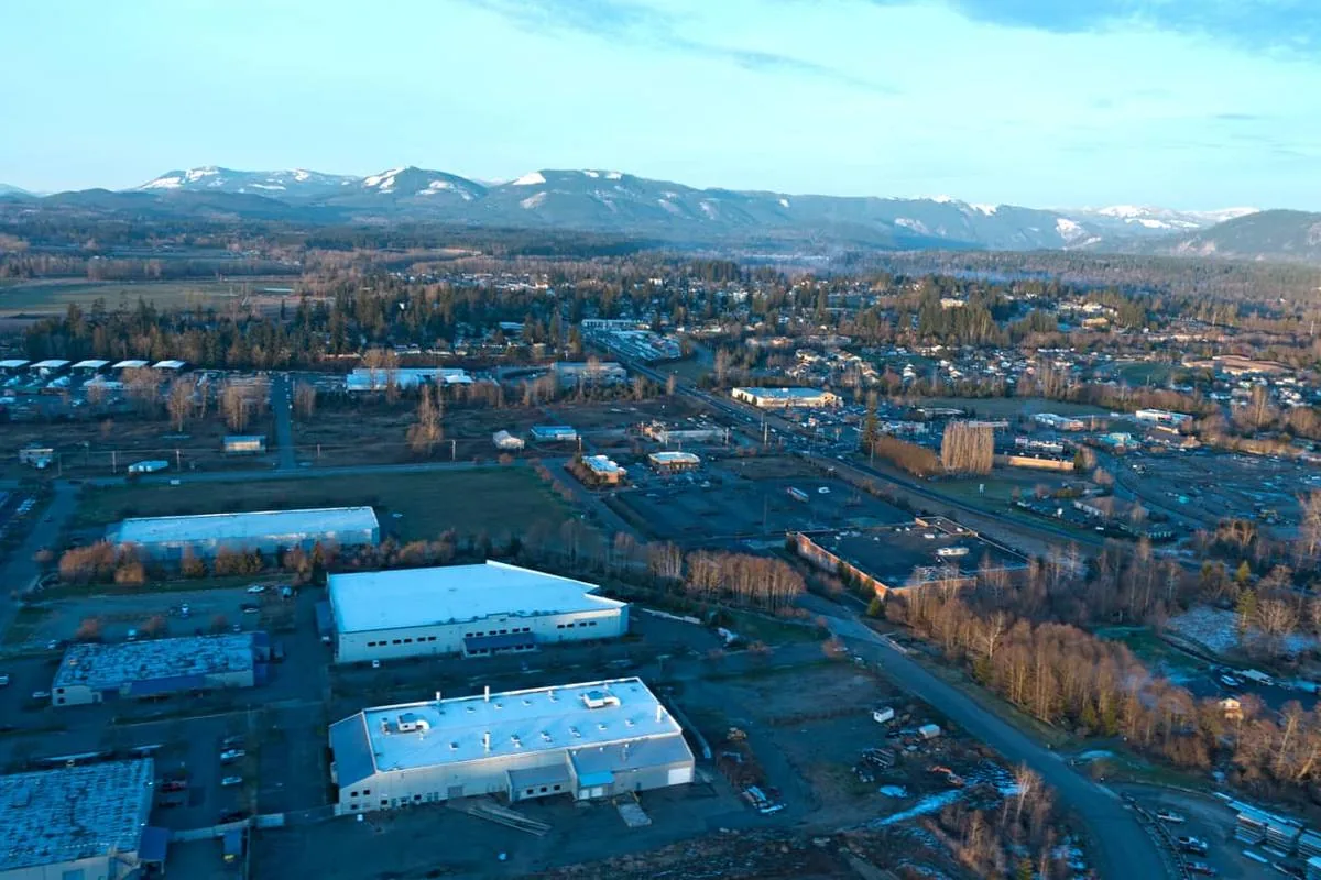
The Stillaguamish River and Water Recreation
The North and South Forks of the Stillaguamish River converge at Arlington, forming the main-stem Stilly that flows west to Puget Sound. Because no major dams interrupt the watershed, the river runs with wild salmon and steelhead in a way that heavily managed systems further south cannot match. Summer and winter steelhead, four species of Pacific salmon, sea-run cutthroat, and bull trout — known locally as Dolly Varden char — all move through the river corridor near town.
The North Fork carries a particular distinction: it was the first river in Washington State designated fly-fishing-only for a portion of the year. That designation signals both the ecological health of the system and the seriousness with which anglers here treat the fishery. If you're moving from a region where accessible river fishing means fighting crowds for mediocre water, the Stilly is a genuine recalibration.
Haller Bridge Park: The On-Ramp to the River
Haller Bridge Park sits where the Centennial Trail meets the Stillaguamish River south of downtown, and it functions as Arlington's primary water access point. Kayakers and canoeists launch here regularly — the park has a playground, shaded picnic areas, restrooms, and a paved parking lot with accessible spaces. It's not a formal boat ramp in the motorized sense, but for paddle craft it's the obvious put-in for exploring the lower Stilly.
The wildlife here catches newcomers off guard. Great blue herons work the shallows year-round. Bald eagles are common enough that most longtime residents stop pointing them out. River otters appear regularly if you're patient and quiet on the bank. Occasionally, black bears are spotted further east along the Centennial Trail corridor — a reminder that Arlington is genuinely close to wild country, not just stylistically adjacent to it.
What People Actually Do on the River
Steelhead fishing draws dedicated anglers from across the region, particularly on the North Fork during fly-fishing-only season. Kayaking and canoeing on the main stem is accessible and not technically demanding — the river moves but doesn't punish beginners on the lower stretches near town. In summer, the gravel bars along the Stilly become informal gathering spots; families with kids treat them the way beach towns treat the shore.
One honest seasonal note: the Stillaguamish runs high and cold through winter and early spring, and flood events do occur in the valley. Anyone buying property near the river corridor should understand the floodplain map before making an offer — the recreation is exceptional, and the flood risk is real. Both things are true.
Best for: Fly-fishing anglers, kayakers and canoeists, wildlife watchers, and anyone who values river-oriented outdoor access within ten minutes of downtown.Looking to buy in Arlington? Estimate your payment.
Enter your numbers to see an estimated monthly mortgage payment.
Estimate only. Excludes HOA fees and mortgage insurance. The interest rate above is a starting point, not a quoted rate — replace it with your own to see real numbers. Insurance is a flat placeholder, not a Arlington quote.
The Whitehorse Regional Trail and Seasonal Recreation
The Whitehorse Regional Trail is the less-known sibling of the Centennial Trail, and for people who want real distance and solitude, it's arguably the more interesting one. The trail stretches 27 miles from Arlington east to Darrington, following the former BNSF railroad bed through the North Stillaguamish River Valley. Hikers, cyclists, and equestrians all use it — it's multi-use by design, and the valley scenery shifts from flat farmland into forested foothills as you move east.
The connection to the Centennial Trail happens near Haller Park in Arlington, which means you can theoretically ride from downtown onto a 27-mile route into the Cascade foothills without reloading the car. In practice, most people drive to the Trafton Trailhead and head east, but the connectivity is real and worth knowing.
Current Closures — Check Before You Go
As of June 2026, two sections of the Whitehorse Regional Trail are closed due to storm damage: the westernmost approximately three miles (landslide damage) and a 1.7-mile section east of the Trafton Trailhead (flood damage). Both are closed until further notice. Snohomish County's Phase 3 improvement project is specifically designed to close these gaps and fully connect the corridor — the project page was updated as recently as February 2026, suggesting active progress. But the timeline is not publicly fixed, and conditions change. Check current status with Snohomish County Parks or the Washington Trails Association before planning a trip that depends on those sections being open.
This is the kind of detail that separates a useful local guide from a brochure. The Whitehorse Trail is genuinely excellent when accessible — the closure caveat isn't a reason to dismiss it, it's just the honest current condition.
Arlington's Seasonal Recreation Calendar
Summer is when Arlington's outdoor infrastructure runs at full capacity: the Legion Memorial Park stage books up, the Centennial Trail fills on weekends, and the Stillaguamish River draws both anglers and paddlers in force. The Stillaguamish River Festival typically lands in summer and draws people specifically to the river corridor.
Fall brings the salmon runs — the most visually dramatic season on the Stilly, and one that surprises people who moved here from landlocked areas. Watching Chinook holding in a pool near Haller Bridge Park is not a tourist experience; it's an ordinary Tuesday if you know where to look.
Winter is wet and gray, and that's simply the reality of the North Puget Sound. The Centennial Trail stays open year-round, but a significant portion of the Arlington outdoor community hibernates from November through February. The people who stay active tend to be trail runners and cyclists with fenders — you will see both. The Whitehorse Trail's valley segments can be muddy enough in winter to make travel unpleasant even where the trail is technically open.
| Season | Top Activity | Best Venue | What to Know |
|---|---|---|---|
| Spring (Mar–May) | Cycling, birding | Centennial Trail, Haller Bridge Park | River runs high; trail dries out by April |
| Summer (Jun–Aug) | Events, paddling, fishing | Legion Memorial Park, Stillaguamish River | Park stage reserved Jun 1–Sep 30 for events |
| Fall (Sep–Nov) | Salmon watching, hiking | Stillaguamish corridor, Whitehorse Trail | Chinook runs peak; trail mud builds in November |
| Winter (Dec–Feb) | Steelhead fishing, trail running | North Fork Stillaguamish, Centennial Trail | River runs high; dress for rain on any outing |
After a long trail day, 210 Brewing Co on Stoluckquamish Lane — owned by the Stillaguamish Tribe of Indians, with the river's own name embedded in the address — sits conveniently close to the trail corridor and the river. It's a natural endpoint to a day that started on the Centennial or Whitehorse.
Best for: Hikers and cyclists who want serious mileage, equestrians on the Whitehorse Trail, steelhead anglers in winter, and seasonal event-goers during the Legion Park summer schedule.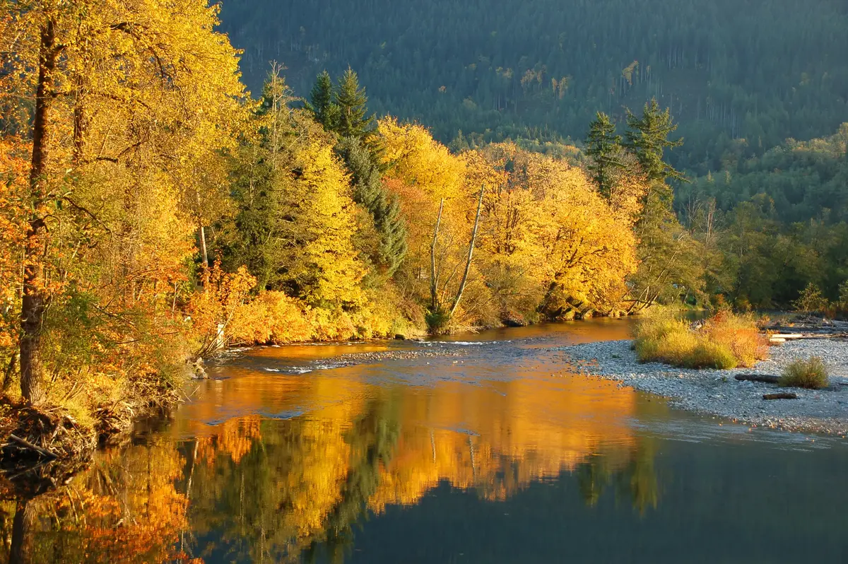
Local Expert Takeaway: Arlington's outdoor infrastructure is built for year-round use — the Centennial Trail runs through downtown and never closes, the Stillaguamish River runs wild salmon and steelhead with no dams interrupting the fishery, and the Whitehorse Regional Trail extends 27 miles east into the Cascades when its storm-damaged sections reopen. If you're used to suburban parks that amount to a soccer field and a swing set, the access here will genuinely recalibrate your expectations. The catch is winter: November through February is wet and gray, the Whitehorse Trail gets muddy, and the river runs high enough to close gravel bar access. The people who thrive here are the ones who either embrace the rain or make peace with a quieter indoor season. Anyone who falls into the first category will find Legion Memorial Park, Haller Bridge Park, and the Centennial Trail Sound Garden repaying attention in every month of the year.
Quick Takeaways & FAQs
✅ The Centennial Trail passes directly through downtown Arlington and connects to 30 miles of paved multi-use pathway, making it one of the most accessible urban trail systems in Snohomish County.
⚠️ The Whitehorse Regional Trail has active storm-damage closures as of mid-2026 — check Snohomish County Parks or the Washington Trails Association before planning a trip that depends on the western or Trafton sections being open.
📍 Haller Bridge Park, where the Centennial Trail meets the Stillaguamish River south of downtown, is the city's primary kayak and canoe put-in and the best spot to watch for bald eagles and river otters year-round.
Is the Centennial Trail paved all the way through Arlington?
Can you fish for steelhead on the Stillaguamish River near Arlington?
Is the Whitehorse Regional Trail open for hiking or cycling right now?
What events happen at Legion Memorial Park in Arlington?
Where can you put in a kayak or canoe near Arlington, WA?
Moving to Washington?
Tell us what you need help with and we'll connect you with local resources.
