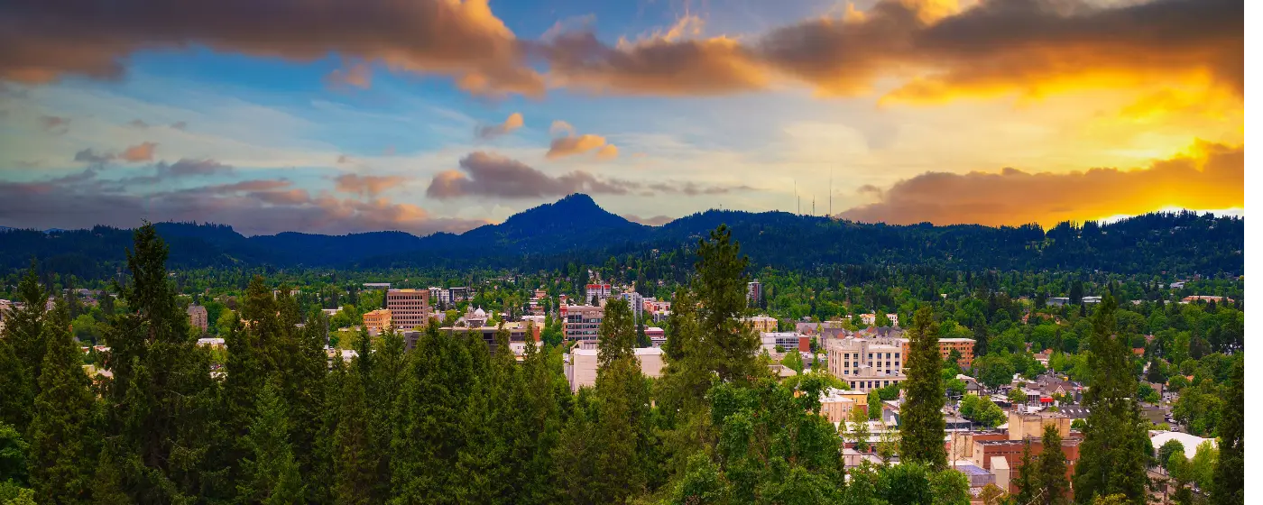
Eugene has a reputation as a running town, and the infrastructure behind that reputation is real. Pre's Trail — the bark-covered loop through Alton Baker Park named for Steve Prefontaine — draws runners, walkers, and cyclists every morning of the year, rain or shine. But the trail is just the entry point. Eugene sits at the southern end of the Willamette Valley with the Cascades visible on a clear day, and the city has spent decades stitching together a park system that reaches from the riverfront all the way to the forested ridgeline above the southern neighborhoods. For a city of 178,618, the scale of it is genuinely surprising.
What separates Eugene from other Oregon cities its size is the variety packed into a relatively compact geography. Within the city limits, you can run a flat bark trail at dawn, climb a basalt wall before lunch, and reach an exposed 2,058-foot summit by afternoon. The Willamette River defines the northern edge of the core city, and the Ruth Bascom Riverbank Trail System gives you 12 miles of connected pathway along both banks. The southern hills hold something altogether different: over 2,000 acres of Douglas-fir forest, oak savanna, and hilltop prairie inside the Ridgeline Trail System, anchored at its highest point by Spencer Butte. The river and the ridgeline together create the two poles of Eugene's outdoor identity, and most residents end up devoted to one or the other — usually both.
Eugene logs 155 sunny days a year, which is fewer than the Pacific Northwest's marketing would suggest. The practical implication: outdoor recreation here is a year-round pursuit, not a summer hobby. The parks system was designed with that in mind. Pre's Trail has LED lighting on its western loop. Mount Pisgah Arboretum's eight miles of paths are all-weather surfaces. The Owen Rose Garden along the Willamette is worth visiting in spring, summer, and even on a grey November afternoon. Newcomers who assume outdoor life shuts down in October are the ones who end up unhappy here. The locals never stop going out.
Whether you are deciding where to put down roots or simply trying to understand what day-to-day life in Eugene actually looks like, the sections below cover the city's signature parks, its trail systems on both the river and the ridgeline, its water and botanical resources, and the seasonal rhythms that shape how residents use all of it.
Alton Baker Park and the Willamette River Corridor
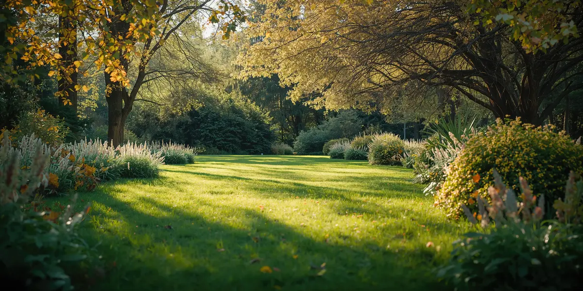
Alton Baker Park is the park Eugene residents mean when they say they are going to the park. At roughly 413 acres along the north bank of the Willamette River, it sits directly across from the University of Oregon campus and functions as the city's primary outdoor gathering space. The numbers are useful for context, but the experience is what matters: on a Saturday morning, the park holds runners on Pre's Trail, families at the RiverPlay playground across the river at Skinner Butte, dog owners in the fenced off-leash area, disc golfers threading the tree-lined course, and cyclists cutting through on the river path — all simultaneously, without feeling crowded.
Pre's Trail
Pre's Trail is the axis everything else orbits. Just over 4 miles of bark-covered surface modeled after Scandinavian running trails, it was built as a tribute to Steve Prefontaine and has become one of the most-used recreational trails in Oregon. The western loop was fitted with LED lighting in November 2021 — funded through the city's 2018 Parks and Recreation Bond — which means the trail is genuinely usable at 6 a.m. in January. The Frohnmayer Bike Bridge connects it directly to the University of Oregon campus, so the trail is woven into daily commutes as much as weekend workouts.
What Else the Park Holds
Beyond the trail, Alton Baker Park contains a canoe canal, a BMX track, a boat launch, a community garden, and the Eugene Science Center. The eastern section — the Whilamut Natural Area — covers 237 acres of habitat restoration land that connects via bike paths to Springfield's Eastgate Woodlands, effectively extending the green corridor well past the city boundary. This quieter half of the park draws birders and people who want distance from the more active western sections.
The Ruth Bascom Riverbank Trail System ties it all together. The 12-mile bikeway runs along both banks of the Willamette, threading through Alton Baker and connecting to Skinner Butte Park and Owen Rose Garden. If you want a continuous riverside ride through the heart of Eugene, this is the infrastructure that makes it possible.
One honest note: the park's popularity means the main Pre's Trail loop can feel genuinely crowded on warm weekend afternoons in late spring and early summer. Locals who want a quieter run shift their timing to early morning or push into the Whilamut Natural Area instead. It is not a complaint so much as something worth knowing before you move here and expect the trail to yourself.
The Ridgeline Trail System and Spencer Butte
The Ridgeline Trail System is what sets Eugene apart from nearly every other mid-sized American city. Roughly 2,000 acres of urban wilderness along the city's southern edge, accessed at seven main trailheads, with over 12 miles of trail passing through Douglas-fir forest, white oak savanna, hilltop prairie, and wildflower meadow. The long-term vision is a continuous east-to-west thru-hike of the entire urban wilderness — a genuine wilderness corridor inside city limits.
Spencer Butte: The Summit Everyone Climbs
Spencer Butte is the centerpiece. At 2,058 feet, it is Eugene's highest point. The Main Summit Trail gains roughly 650 feet of elevation over 1.1 miles to reach a ten-acre summit of exposed basalt, with panoramic views of the Willamette Valley floor and the Cascade peaks to the east. It is a strenuous mile, not a casual stroll — the trail earns its reputation. On a clear day in late spring, the summit is crowded with everyone from serious hikers to people in jeans who drove to the trailhead on a whim. Both groups tend to look equally pleased with themselves at the top.
The Broader System
Spencer Butte gets most of the attention, but the Ridgeline system's real strength is the variety below the summit. The terrain ranges from easy neighborhood loops accessible to families with kids to longer connecting trails through the oak savanna sections that most visitors never reach. The wildflower display in April and May — particularly in the hilltop prairies — draws people who have no interest in a strenuous climb and simply want to walk through something that looks like pre-settlement Oregon.
What surprises most newcomers after their first few months here: the Ridgeline is accessible enough to use on a weekday lunch break from south Eugene neighborhoods, but wild enough that you can spend a full day on it without retracing your steps. Residents who move here from cities with manicured urban parks tend to describe their first Ridgeline outing as a recalibration of what an "urban park" can actually be.
Youth sports leagues and school programs use the lower trails for outdoor education — a passing mention worth noting for families, though the full picture of Eugene's youth recreation programs lives on the schools page.
Skinner Butte, Owen Rose Garden, and Downtown Green Space
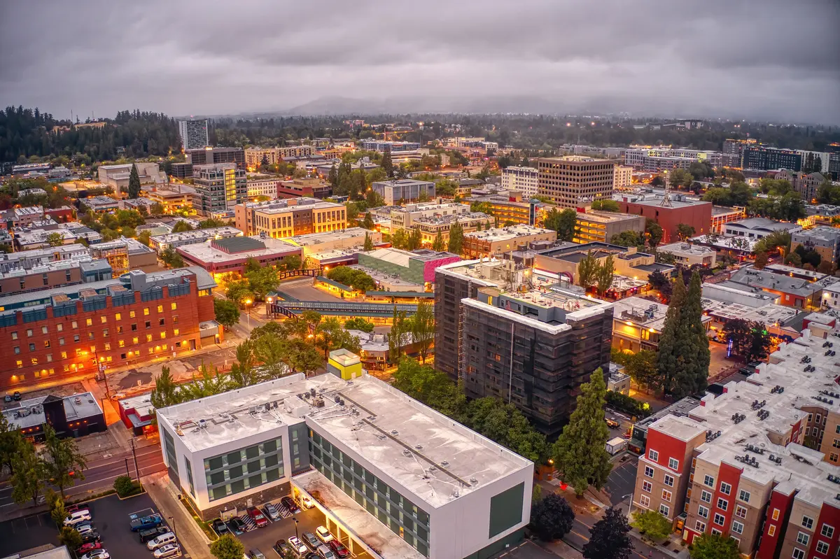
The parks closest to downtown Eugene tell the city's oldest stories. Skinner Butte Park was dedicated in 1914 and covers 100 acres along the Willamette just north of the city center. The land was originally claimed by Eugene Skinner, the city's founder, and the park is considered the most historically significant resource in the Eugene park system. That history sits alongside very active present-day use: hiking trails, bike paths, picnic areas, the RiverPlay Discovery Playground, and the Skinner City Farm community garden occupy the same ground where Skinner built his cabin in 1846.
The Columns: Climbing in the City
The Columns at Skinner Butte Park is a detail that stops a lot of newcomers in their tracks. A west-facing basalt climbing wall, approximately 45 to 50 feet high, with more than 50 documented routes from beginner to advanced difficulty. The quarry that exposed the rock was abandoned in the early 1930s; climbers discovered it in the 1970s, and a major community volunteer renovation in 2007 turned it into a proper outdoor climbing venue. It is, by any measure, an unusual thing to find inside a city park. On a dry afternoon, you will find climbers on the wall and spectators on the grass below in roughly equal numbers.
Owen Rose Garden
Owen Rose Garden occupies roughly 8.5 acres along the Willamette and holds one of the most extensive rose collections in the Pacific Northwest — hundreds of varieties spread across a riverfront setting that draws crowds from across the region at peak bloom. The collection started with a donation of 750 rose bushes from the Eugene Rose Society in 1951 and has grown steadily since. The garden also contains what is believed to be the country's oldest and largest Black Tartarian cherry tree, planted in 1847 — a living piece of Oregon history that most visitors walk past without noticing the interpretive sign.
Peak bloom typically falls in the second and third weeks of June, when the garden fills with visitors and the scent reaches the adjacent river path. That timing is worth putting on a calendar during your first year here: the garden at peak bloom against the backdrop of the Willamette is one of those Eugene experiences that earns its reputation. Admission is free. The garden connects to the Willamette Greenway path system, so a visit can turn into a longer riverside walk or bike ride without retracing a step.
Both Skinner Butte and Owen Rose Garden are connected to the Ruth Bascom trail corridor, which means you can reach them on foot or by bike from Alton Baker Park without touching a road. That connectivity is not accidental — it reflects decades of deliberate investment in a linked riverfront system rather than isolated destinations.
Looking to buy in Eugene? Estimate your payment.
Enter your numbers to see an estimated monthly mortgage payment.
Estimate only. Excludes HOA fees and mortgage insurance. The interest rate above is a starting point, not a quoted rate — replace it with your own to see real numbers. Insurance is a flat placeholder, not a Eugene quote.
Mount Pisgah Arboretum, Seasonal Recreation, and the Broader Outdoor Calendar
Mount Pisgah Arboretum sits southeast of downtown Eugene within the Howard Buford Recreation Area — a 209-acre nonprofit preserve inside a county park system that spans over 2,200 acres. The arboretum itself offers eight miles of all-weather trails through riparian meadow, evergreen forest, and a rare preserved oak savanna, with 23 bridges woven along the riverside paths. The Howard Buford area surrounding it adds nearly 30 miles of additional trails for hiking and horseback riding, including a route to the 1,518-foot summit of Mount Pisgah with views across the southern Willamette Valley.
The Arboretum's Seasonal Character
Mount Pisgah Arboretum runs on a genuinely local calendar. The annual Wildflower and Music Festival in spring draws people from across the region who come specifically for the combination of botanical displays and live performance. The Mushroom Festival in autumn has a devoted following among foragers and mycology enthusiasts and tends to sell out well before it arrives. These are not tourist events that happen to include locals — they are events that exist because Eugene's outdoor community created a demand for them.
The all-weather trail surfaces matter more than they sound. Eugene's wet season runs long, and a park system that becomes inaccessible from November through March is only useful for half the year. The arboretum's trail design was built around year-round use, which is consistent with the broader philosophy of the Eugene parks system: infrastructure for people who actually live here, not just for the dry months.
The Cascades Raptor Center
Within the city's broader outdoor offerings, the Cascades Raptor Center deserves a specific mention. It is a wildlife nature center and hospital for birds of prey, with resident ambassador birds on display and an active rehabilitation mission. It is the kind of place that Eugene residents mention in passing, then realize ten years later they have taken every visiting family member to see. Worth knowing about before you arrive rather than discovering it by accident.
What the Calendar Looks Like in Practice
| Season | What Eugene Residents Actually Do | Key Spots |
|---|---|---|
| Spring (Mar–May) | Wildflower hiking, rose garden visits, Arboretum festival, first summit attempts on Spencer Butte | Ridgeline Trail, Mount Pisgah Arboretum, Owen Rose Garden |
| Early Summer (Jun–Jul) | Owen Rose Garden at peak bloom, river trail cycling, outdoor concerts at the Cuthbert Amphitheater | Alton Baker Park, Owen Rose Garden, Ruth Bascom Trail |
| Late Summer (Aug–Sep) | Pre's Trail running, disc golf, canoe canal, evening walks along the Willamette Greenway | Alton Baker Park, Skinner Butte, Willamette Greenway |
| Autumn (Oct–Nov) | Mushroom Festival at the Arboretum, oak savanna color on the Ridgeline, quieter summit hikes | Mount Pisgah Arboretum, Ridgeline Trail System, Spencer Butte |
| Winter (Dec–Feb) | Wet-weather trail running on Pre's Trail and Arboretum paths, climbing at The Columns on dry days | Pre's Trail (lit western loop), Skinner Butte Columns, Arboretum |
The seasonal surprise most newcomers encounter: Eugene's outdoor life does not hibernate in winter. The parks system was built for a population that goes outside regardless of the weather — and after a few months here, most new residents find themselves doing the same.
For anyone evaluating Eugene as a place to live, the parks system is not a secondary consideration. It is infrastructure in the same way that schools or transit are infrastructure — something that shapes daily life in ways you feel every week. The full picture of what that means for neighborhoods and home values is on the neighborhoods page and the cost of living page.
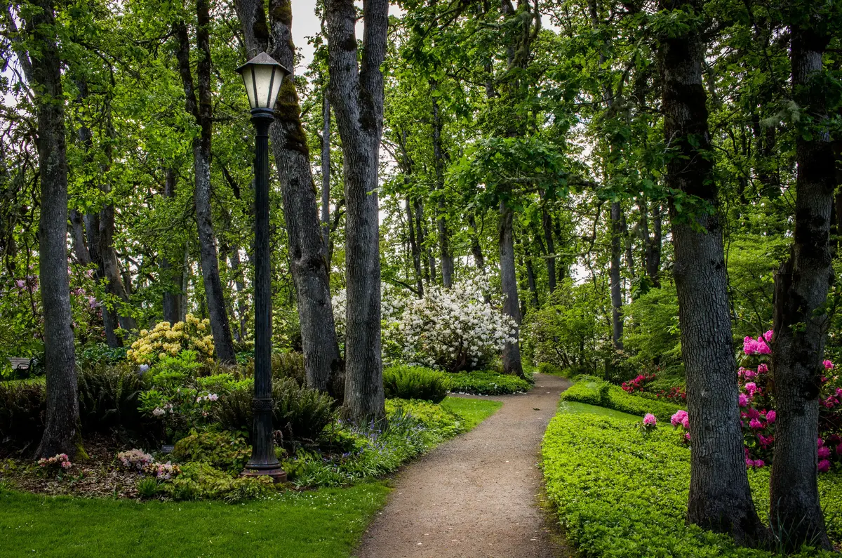
Local Expert Takeaway: Eugene's parks system is one of the strongest arguments for living here, and it is underappreciated by people who have not spent time in it. The connection between Alton Baker Park, the Ruth Bascom Riverbank Trail, Skinner Butte, and Owen Rose Garden means you can run, ride, or walk for miles through the city's core without leaving the green corridor. The Ridgeline Trail System above the southern neighborhoods offers something rarer: genuine Douglas-fir wilderness inside city limits, capped by the Spencer Butte summit. The honest caveat is that Eugene gets 155 sunny days a year, and outdoor life here requires embracing wet trails and grey skies — the residents who thrive here stop waiting for the sun and start going out anyway.
Quick Takeaways & FAQs
✅ The Ridgeline Trail System gives Eugene over 12 miles of forested urban wilderness and a 2,058-foot summit — a level of in-city outdoor access rare for any mid-sized American city.
⚠️ Eugene logs only 155 sunny days a year, so outdoor recreation here is a wet-weather pursuit as much as a sunny-day one — newcomers who wait for good weather miss most of it.
📍 Pre's Trail in Alton Baker Park has LED lighting on its western loop, making it a genuinely usable running trail at 6 a.m. in January — the city built its parks for people who actually live here year-round.
Is Pre's Trail suitable for casual walkers, or is it mainly for runners?
How difficult is the Spencer Butte hike?
When is the best time to visit the Owen Rose Garden?
Can I use Eugene's trails and parks during the rainy season?
Is the Mount Pisgah Arboretum the same as the Howard Buford Recreation Area?
Moving to Oregon?
Tell us what you need help with and we'll connect you with local resources.
