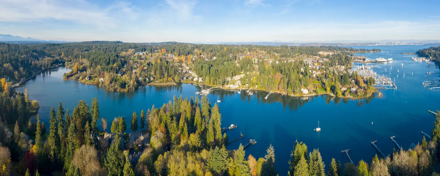
You probably expected greenery when you looked at Bainbridge Island on a map — a forested island in Puget Sound, a ferry ride from Seattle. What surprises most newcomers after six months here is how structured that greenery is. The Bainbridge Island Metro Park & Recreation District manages 165 acres of active-use parkland, 1,353 acres of natural areas, and 52 miles of recreational trails — on an island of just under 25,000 people. That ratio is not accidental. The community has consistently voted to fund land acquisition and trail development, and the result is a park system that punches well above its population weight.
The island's outdoor identity runs deeper than weekend walks. Former military installations at Fort Ward and Battle Point have been converted into fully functioning recreation hubs with waterfront trails, athletic fields, and accessible loop paths. A 150-acre garden estate at the north end draws visitors from across the region. A 255-acre environmental learning campus at IslandWood opens its canopy bridges and floating classrooms to the public when schools aren't in session. The Puget Sound shoreline, which rings the entire island, is threaded with kayak launches, Cascadia Marine Trail campsites, and beaches where clamming is still a weekend activity.
The practical reality for daily life is that most of this is genuinely close. Nothing on Bainbridge Island is more than a short drive from anything else, and most neighborhoods sit within a short bike ride of at least one trailhead or waterfront access point. The catch — and there is one — is that Washington's gray winters are real. The trails stay open year-round and the damp forest is beautiful in December, but if you're expecting outdoor recreation to fill your social calendar from November through March the way it does in July, you'll need to recalibrate.
Whether you're considering a move or just researching the island, the sections below cover Bainbridge Island's signature parks and trail systems, water recreation, the outdoor learning resources at IslandWood, and the seasonal rhythms that shape how residents actually use all of it.
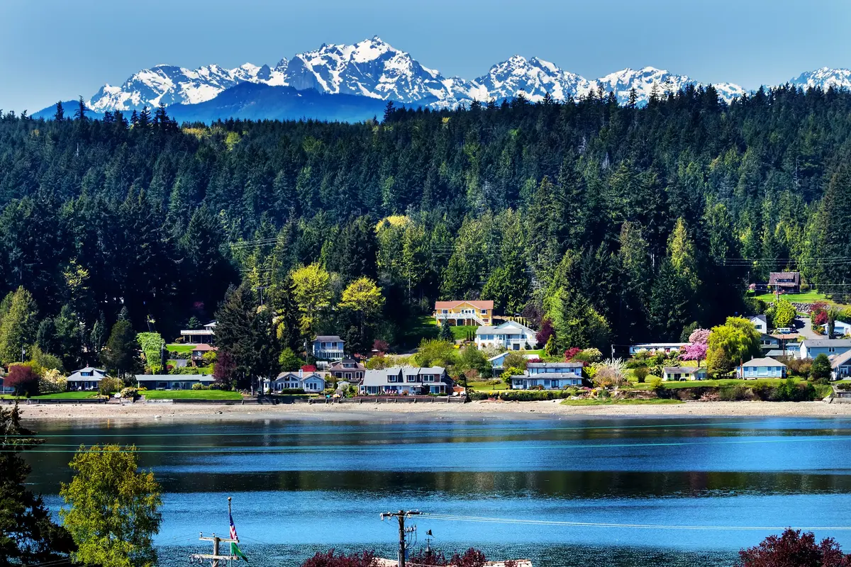
Signature Parks and Trail Systems
The breadth of Bainbridge Island's trail network only makes sense when you look at it as a system rather than a list of individual parks. The 52 miles of managed trails connect former naval land, second-growth forest, wetlands, and saltwater shoreline — often within the same hike.
Fort Ward Park: The Southwest Corner's Crown Jewel
Fort Ward Park occupies 137 acres on the island's southwestern shore, and it earns its reputation. The Lower Fort Ward Trail is a 0.89-mile paved, flat, ADA-accessible path that runs parallel to the Puget Sound beach, with views across Rich Passage toward the Olympic Mountains that stop people mid-stride. It connects to the Upper Loop — 1.6 miles with 140 feet of elevation gain — for a combined 2.0-mile circuit through Douglas Fir canopy.
The park's history is visible in the landscape. Commissioned in 1903 to guard the Bremerton Naval Shipyard, decommissioned in 1958, converted to a state park, and finally transferred to the Bainbridge Island Metro Park & Recreation District in 2011, Fort Ward still has WWII-era concrete bunkers integrated into the shoreline trail. A public boat ramp and kayak launch sit at the south end. A 1.25-mile forested connector trail through Big Leaf Maple and Douglas Fir links north to Blakely Harbor Park, making a longer through-route possible.
What most trail maps don't advertise: Fort Ward has an underwater scuba diving park, a Cascadia Marine Trail campsite, and active clamming beach access. It's one of the few places on the island where a single visit can include a stroller walk, a dive, and a bucket of clams.
Battle Point Park: The Island's Athletic Hub
Battle Point Park is a 90-acre former naval radio station in the island's center, converted into the most family-oriented recreation space on Bainbridge. The 1.6-mile paved loop is flat, dog-friendly, and accessible to strollers and wheelchairs, circling open meadows, soccer fields, a central duck pond, and a volunteer-built playground.
The park also houses a community observatory — a detail that surprises most newcomers and delights most kids. Clear nights in late fall and winter, when island skies cooperate, draw small crowds for public viewing sessions. Note that the pickleball courts at Battle Point were closed for resurfacing in mid-August 2026; confirm current status with the district before planning a pickleball outing.
Gazzam Lake: The Island's Most Ecologically Varied Hike
The Gazzam Lake loop covers 3.5 miles and about 300 feet of elevation gain, but the reason locals return to it is the variety packed into that distance. The trail moves through dense second-growth forest, opens into meadow, and arrives at a 14-acre lake with a secluded beach. Black-tailed deer and wood ducks are frequent enough that sightings are routine rather than remarkable.
This is the trail that gets mentioned first when new residents ask where to take visiting family. It's challenging enough to feel like real hiking, accessible enough for reasonably fit beginners, and the lake payoff is genuinely earned.
| Park / Trail | Acreage | Trail Distance | Key Features | Best For |
|---|---|---|---|---|
| Fort Ward Park | 137 acres | 2.0 mi (combined) | Waterfront, bunkers, kayak launch, camping | Nature Walkable |
| Battle Point Park | 90 acres | 1.6 mi paved loop | Soccer fields, duck pond, observatory, playground | Families |
| Gazzam Lake | N/A | 3.5 mi loop | Lake, meadow, forest, wildlife | Nature |
| Bloedel Reserve | 150 acres | ~2 mi loop | 23 landscape zones, Japanese Garden, Moss Garden | Views Quiet |
| Fay Bainbridge Park | N/A | Shoreline access | Camping, kayak launch, circumnavigation put-in | Nature |
| Fort Ward to Blakely Harbor Connector | N/A | 1.25 mi forested | Douglas Fir, Big Leaf Maple, through-route | Nature Quiet |
Every park in this table is managed by the Bainbridge Island Metro Park & Recreation District and is free to enter, with the exception of Bloedel Reserve, which requires advance timed-entry tickets.
Bloedel Reserve: The Island's Most-Visited Outdoor Destination
Bloedel Reserve is not a nature trail in the casual sense. It is a curated 150-acre landscape at 7571 NE Dolphin Drive, designed by landscape architects and maintained to a standard that requires timed-entry tickets and a Monday closure to sustain the visitor experience. Adult admission runs approximately $20, with reduced rates for seniors ($15), students ($10), and children ages 5–12 ($5); children under 4 enter free.
The approximately 2-mile loop moves through 23 distinct landscape zones — a sequencing that sounds promotional until you're actually walking it. The Japanese Garden sits in near-silence on a calm morning. The Moss Garden feels like a different climate zone entirely, dim and close and carpeted in green even in August. The Rhododendron Glen, in late April and May, is the reason the reserve sells out weeks in advance during peak bloom.
The Practical Reality of a Visit
Book tickets before you arrive. Walk-in availability on weekends is rare between April and October, and the timed-entry system means you cannot simply show up early and wait. Tuesday through Sunday, with the quietest crowds typically on Tuesday and Wednesday mornings.
For residents, Bloedel is the place you take visitors who think a Pacific Northwest island is mostly rainy parking lots. One walk through the Moss Garden in October recalibrates that assumption permanently. For families, the loop is manageable for children who can handle 2 miles of uneven terrain, though it's not a stroller-friendly route throughout.
The reserve also serves an important function that doesn't appear in the visitor brochure: it's one of the clearest signals to prospective buyers about the community's relationship with land stewardship. The original estate was donated for public use specifically because the owners believed the landscape had value beyond development. That ethic runs through the island's park acquisition history more broadly.
Water Recreation: Kayaking, Paddleboarding, and Puget Sound Access
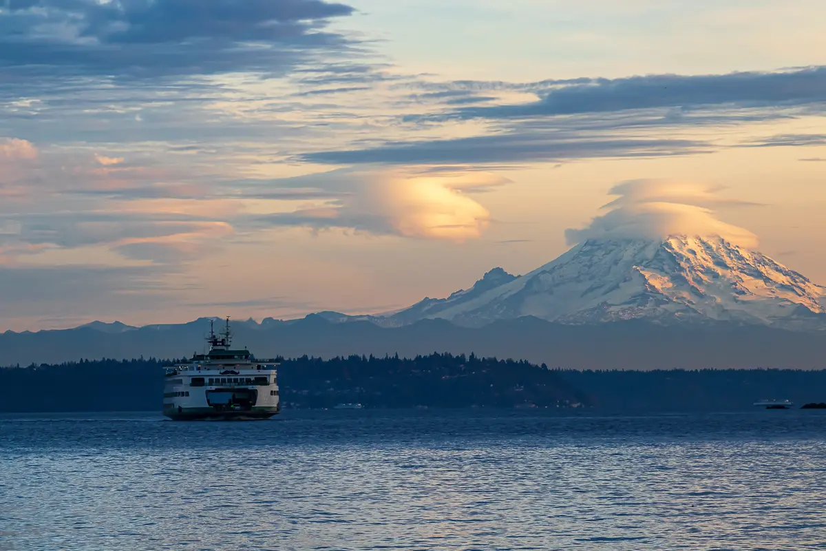
Bainbridge Island is surrounded by Puget Sound on all sides. The question isn't whether you'll be near water — it's how you'll use it. The island's park system has built out multiple public access points, and the Bainbridge Island Metro Park & Recreation District runs a structured on-water program that covers everything from beginner paddling classes to multi-day expeditions.
Waterfront Park and the City Dock
The most accessible on-water starting point is Waterfront Park at 301 Shannon Drive, where kayak and stand-up paddleboard rentals are available at the City Dock. Rentals include paddles, personal flotation devices, and basic instruction, and cover singles, tandems, and SUPs. The rental operation is weather-dependent and runs most actively from late spring through early fall — a detail worth knowing if you're planning a July visit versus a February one.
Eagle Harbor, which the City Dock fronts, is a protected inlet. It's a forgiving environment for first-time paddlers: minimal ferry traffic inside the harbor, good visibility, and a clear view back to the dock. Most people who rent here stay in the harbor or paddle its perimeter; more experienced paddlers head out toward the Sound.
Fay Bainbridge Park: The Circumnavigation Staging Ground
On the island's northeast shore, Fay Bainbridge Park serves a different paddling audience entirely. It's a designated Cascadia Marine Trail campsite and a primary put-in for sea kayakers doing Bainbridge Island circumnavigation routes — a multi-day undertaking that is well-documented by The Mountaineers and is increasingly popular with intermediate and advanced paddlers from across the Seattle metro area.
The park also functions as a crossing point toward Port Madison and Miller Bay for paddlers doing point-to-point routes rather than circumnavigations. On a clear summer day, the view from the beach toward the Cascades across the Sound is among the better ones on the island.
Structured Programs Through the Park District
The Bainbridge Island Metro Park & Recreation District's kayaking, rowing, and paddleboarding program covers all technical gear — meaning you don't need to own a boat to participate. Programs run from day trips and skills classes to multi-day camps and expeditions. For families relocating from inland cities who haven't paddled before, this is a genuinely low-barrier entry point into on-the-water recreation. See the schools page for details on youth outdoor programs through the district's camps and after-school offerings.
Fort Ward's Water Access: Beyond Kayaking
Fort Ward's shoreline access extends further than most trail guides suggest. In addition to the kayak launch and boat ramp, the park supports scuba diving in a designated underwater park area and active clamming along its beach. Fishing is also permitted. If you moved here from a landlocked metro and assumed saltwater access meant "you can look at it from a trail," Fort Ward specifically will reframe that assumption.
Looking to buy in Bainbridge Island? Estimate your payment.
Enter your numbers to see an estimated monthly mortgage payment.
Estimate only. Excludes HOA fees and mortgage insurance. The interest rate above is a starting point, not a quoted rate — replace it with your own to see real numbers. Insurance is a flat placeholder, not a Bainbridge Island quote.
IslandWood, the Trail Network's Future, and Seasonal Rhythms
IslandWood: 255 Acres That Function Differently Than a Park
IslandWood at first looks like a private campus and operates like one for most of the school year, when it hosts overnight K–12 environmental education programs. But the 255-acre property — which includes walking trails, a pond, a bog, a canopy walk bridge, a treehouse, and a floating classroom — opens for community events, summer camps, and public programs during the off-season.
Founded in 2000, IslandWood sits in a forested section of the island away from the main commercial corridor, and its trail system has an intentionally immersive quality. The canopy bridge and treehouse are not decorative — they're functional parts of the curriculum and, during public programs, accessible to adult visitors. For families with children who respond to outdoor education, IslandWood's summer camp programming is one of the more distinctive offerings in the region. It's worth noting that IslandWood is also one of the island's significant nonprofit employers, which means the campus has both a recreational and an economic presence in the community.
What's Being Built: The Sound to Olympics Trail
The Bainbridge Island Parks & Trails Foundation is actively developing the Sound to Olympics Trail, a non-motorized spine route planned to run from Winslow north to the Agate Pass Bridge. The trail would connect the island's southern ferry terminal to its northern boundary in a continuous, accessible corridor — a project that would materially change how residents move through the island without a car.
The district's Trails Vision Plan, discussed publicly in December 2025, is mapping additional corridors through easements and land partnerships. The practical implication for buyers: the trail network you see today is not the finished product. Properties near planned corridors may gain access to connected trails within the next several years.
What Locals Know About Seasonal Use
The island's parks are genuinely usable in winter — the trails drain reasonably well, the forest canopy keeps underbrush manageable, and there's something specific about a foggy January morning at Fort Ward's waterfront that longtime residents mention with affection rather than apology. But the full outdoor social calendar only fires up reliably from late April through September.
Bloedel Reserve's spring bloom period — roughly late April through mid-May depending on the year — is the single most time-sensitive seasonal event in the parks system. Tickets sell out weeks ahead during peak weeks. If you're visiting the island as part of a relocation decision during that window, booking Bloedel in advance is not optional; discovering it's sold out the day you planned to go is one of the more common newcomer frustrations.
Summer weekends at Waterfront Park see the City Dock kayak rentals operating at capacity, and Fay Bainbridge's campsite fills quickly on Friday nights from June through August. The island's trail system absorbs the summer population without feeling overcrowded on weekdays — the pressure shows on weekend mornings at the most popular trailheads, particularly Gazzam Lake.
| Season | Peak Activity | What to Know |
|---|---|---|
| Spring (Apr–May) | Bloedel Reserve bloom, trail reopenings | Book Bloedel tickets 2–4 weeks ahead; rhododendrons peak late April–mid-May |
| Summer (Jun–Sep) | Kayak rentals, Fay Bainbridge camping, circumnavigation routes | City Dock rentals at capacity on weekends; Fay Bainbridge campsites fill Friday nights |
| Fall (Oct–Nov) | Moss Garden at Bloedel, trail running, birdwatching at Fort Ward | Crowds thin; Bloedel in October is a local favorite, often easier to book than spring |
| Winter (Dec–Mar) | Quiet trail use, Fort Ward waterfront walks, IslandWood indoor programs | Trails stay open; water rentals largely suspended; the district's indoor pool open for aquatics |
The Ray Williamson Pool was closed for Phase 2 construction as of August 2026; confirm current status with the district before planning indoor aquatics.
Local Expert Takeaway: Bainbridge Island's park system is the reason many people choose this island over other Kitsap Peninsula communities. The combination of Fort Ward's waterfront trail, the Gazzam Lake loop, Bloedel Reserve, and the City Dock kayak launch gives residents genuine outdoor variety within easy reach of any address on the island. The catch most people don't anticipate: Bloedel Reserve requires advance booking from April through October, and the Sound to Olympics Trail corridor is still under development — meaning the network you're buying into is actively expanding, which is a legitimate reason to pay attention to trail easement maps when evaluating properties in the island's northern half.
Quick Takeaways & FAQs
✅ Bainbridge Island's park district manages 52 miles of recreational trails across 1,353 acres of natural areas — an exceptional ratio for a community of 25,000 people.
⚠️ Bloedel Reserve tickets sell out weeks ahead during spring bloom season; arriving without a reservation means missing what most visitors consider the island's single best outdoor experience.
📍 Fort Ward Park's Lower Trail is ADA-accessible and flat, making it the island's most inclusive waterfront walk — but the park also has a scuba diving area and clamming beach that most newcomers never discover.
How many miles of trails does Bainbridge Island have?
Do you need tickets to visit Bloedel Reserve?
Where can you rent kayaks or paddleboards on Bainbridge Island?
What is the best hiking trail on Bainbridge Island for first-time visitors?
Is IslandWood open to the public?
Moving to Washington?
Tell us what you need help with and we'll connect you with local resources.
