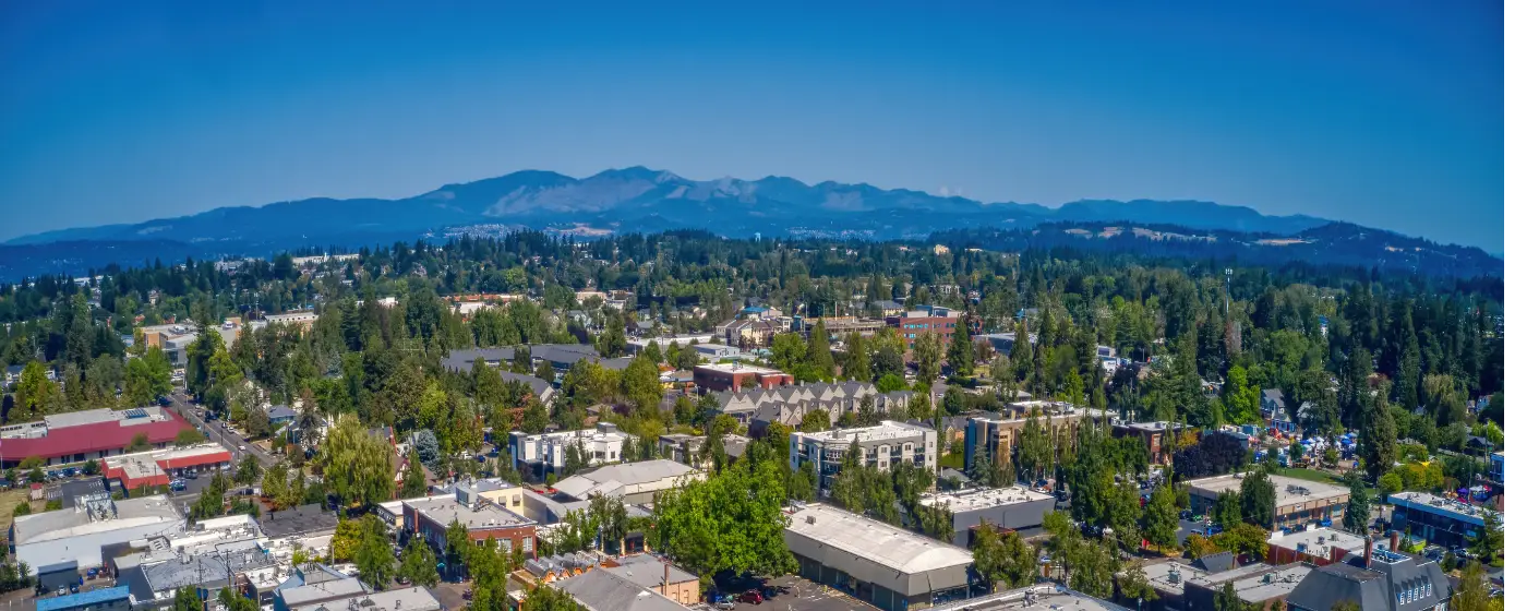
Most people researching Gresham focus on the commute to Portland or the housing prices relative to the rest of the metro. What tends to catch newcomers off guard is the parks system. Gresham sits at the western edge of the Mount Hood corridor, with the Sandy River drainage to the east and Johnson Creek running through its core — and the trail network built around those two water systems gives the city a recreational footprint that punches well above what a city of 112,378 typically delivers. You can run, bike, or walk from downtown Gresham all the way to the Willamette River without touching a car.
The city maintains more than 300 acres of developed park land and 840 acres of natural areas spread across 40 parks. That natural-areas figure is the one that matters most to buyers who are weighing this city against Portland's closer-in neighborhoods: Gresham's natural land is largely intact forest, creek corridor, and butte terrain — not manicured greenspace. The trail system stitches it together, and for residents who use it regularly, the parks become a genuine part of daily life rather than a weekend amenity. The Springwater Corridor Trail passes directly through Main City Park in the heart of downtown, which means the trail network is not peripheral to where people live — it is central to it.
Seasonally, the outdoor picture here is more nuanced than the broad-strokes Pacific Northwest reputation suggests. Gresham averages 144 sunny days a year, which shapes how residents use parks and trails: the summer months pack the greenways and dog areas, while the wet season thins the crowds considerably. That off-peak quiet is one of the things longtime residents cite when asked why they stay. The fall salmon run on the Sandy River — visible from park trails during that season — is the kind of detail that doesn't show up in relocation spreadsheets but becomes a reason people don't leave.
Whether you're weighing which neighborhoods put you closest to a trailhead, or just trying to understand what outdoor life actually looks like day-to-day in Gresham, the sections below break down the city's signature parks, its trail network, its water and wildland access, and what the recreation picture is likely to look like over the next decade.
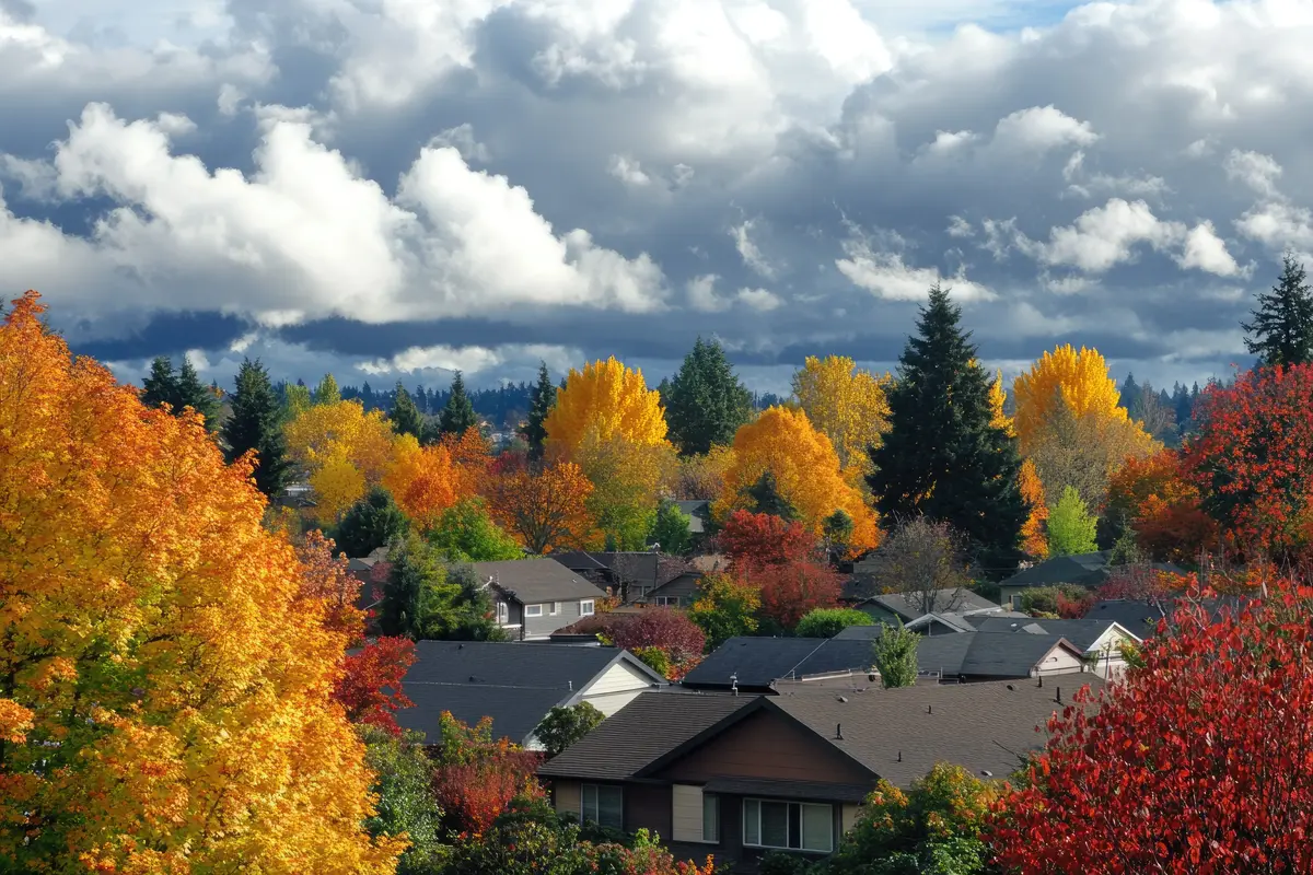
Main City Park: The Recreational Heart of Downtown
Main City Park is the clearest illustration of what makes Gresham's parks system different from a typical suburban setup. The 21.6-acre park sits in the middle of historic downtown, directly on the Springwater Corridor Trail, which means it functions simultaneously as a neighborhood gathering space, a trail access point, and a community cultural venue.
The facilities cover a wide range: pathways, playgrounds, an off-leash dog area, horseshoe pits, two Little League baseball diamonds, picnic shelters, and direct access to Johnson Creek. The Gresham Skatepark draws a dedicated crowd on dry days. Families with younger kids tend to cluster around the playgrounds and lawn areas on weekend mornings — it is one of the few places in the city where you reliably see multiple generations in the same space at once.
What separates Main City Park from a standard municipal lawn is the cultural layer built into it. Tsuru Island, a Japanese garden within the park, reflects Gresham's longstanding relationship with its sister city of Zama, Japan. The Gresham Heroes Memorial, completed in 2009, honors local military, fire, and police. The Hiroshima Peace Garden was completed in 2022 and planted with seeds from Green Legacy Hiroshima — a detail that says something about how seriously the city takes this particular piece of land. The Kyoudou Center, a community event venue within the park, hosts programming that draws both established residents and newer arrivals.
For buyers considering the downtown-adjacent neighborhoods, the park's location is a genuine differentiator. It is not separated from the street grid by a parking lot or a collector road — it integrates directly into the walkable downtown core, which makes it usable on a Tuesday evening, not just a Saturday.
| Feature | Details |
|---|---|
| Total acreage | 21.6 acres |
| Trail connection | Springwater Corridor Trail (direct access) |
| Water feature | Johnson Creek frontage |
| Dog area | Off-leash area on site |
| Cultural sites | Tsuru Island, Hiroshima Peace Garden, Heroes Memorial |
| Athletic facilities | Two baseball diamonds, skatepark, horseshoe pits |
| Community venue | Kyoudou Center, reservable picnic shelters |
Trails: The Springwater Corridor and the City Loop
The Springwater Corridor Trail is the backbone of Gresham's outdoor infrastructure. The roughly 21-mile paved rail-trail follows the former Portland Traction Company corridor from the Willamette River through southeast Portland, through Gresham, and out to the town of Boring. From Linnemann Station in Gresham, the trail runs 16.5 miles west to downtown Portland — a distance that regular cyclists cover in under two hours, and that car-free commuters use as a genuine alternative to driving.
What the trail delivers beyond the mileage is the Johnson Creek corridor: native plantings, wildlife habitat, and a consistent sense of being in a greenway rather than a bike lane. The Springwater also connects to the Gresham-Fairview Trail at the city's eastern edge, extending the network further.
The City Loop
The Wy'East Way adds the inner dimension to Gresham's trail system. The 2-mile, 12-foot-wide paved path runs along the MAX light rail line from the Ruby Junction Station in Rockwood to the Cleveland Station in historic downtown. Combined with the Springwater and Gresham-Fairview connections, it completes a roughly 6-mile loop through the city — long enough for a real run or a family bike ride, and varied enough to stay interesting.
The practical value of the loop is that it links two of the city's most-used neighborhoods — Rockwood and downtown — by trail rather than arterial. Residents who live along either end use it for errands, commutes, and evening walks in a way that most suburban trail systems don't support.
Gresham Butte Saddle Trail
For anyone wanting elevation gain within city limits, the Gresham Butte Saddle Trail is the answer. The 2.5-mile out-and-back hike climbs 583 feet between Gresham Butte — also called Walters Hill — and Gabbert Hill to the south, through native vegetation and second-growth forest. The trail consistently draws strong reviews from hikers who rate it among the more satisfying half-day hikes accessible directly from the city, which reflects both the quality of the views and the fact that it is genuinely a hike rather than a flat paved path. On clear days the summit offers a direct sightline to Mount Hood.
The trail connects naturally to the broader Gresham Butte neighborhood, which sits above the city median in price in part because of this kind of access. Buyers targeting trailhead proximity should put that neighborhood on their list.
| Trail | Type | Distance | Best for |
|---|---|---|---|
| Springwater Corridor | Paved rail-trail | ~21 mi (total); 16.5 mi to Portland | Commuter Nature |
| Wy'East Way | Paved urban path | 2 mi | Walkable Transit |
| Gresham-Fairview Trail | Multi-use connector | Connects east of city | Commuter Families |
| Gresham Butte Saddle | Natural surface hike | 2.5 mi out-and-back | Nature Views |
| Powell Butte connector | Paved (via Springwater) | 1.7 mi west of city entry | Nature Families |
Powell Butte Nature Park — a 616-acre Portland park — is accessible via the Springwater's Butler Creek section, just 1.7 miles west of where the trail enters Gresham. For residents who want old-growth adjacent terrain without driving, it is a realistic option.
Water and Wildland: Oxbow Regional Park and the Sandy River
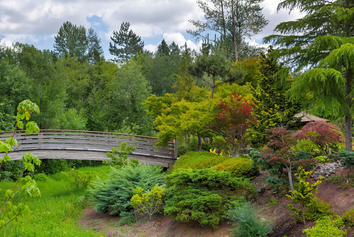
Oxbow Regional Park is the big draw in Gresham's outdoor picture, even though the park itself is managed by Metro rather than the city. The 1,000-acre park sits on the wild and scenic Sandy River and offers 12 miles of trails through ancient forest — Douglas fir and big-leaf maple at a scale that takes most newcomers by surprise given how close the park sits to the metro edge.
The Sandy River at Oxbow supports swimming, kayaking, fishing, and rafting depending on the season. Wildlife in the park includes mink, beaver, deer, osprey, elk, black bear, and cougar. The fall salmon spawn draws observers every year — one of those seasonal events that Oregonians treat as a calendar fixture rather than a novelty.
Important closure note: As of September 2026, Oxbow Regional Park is temporarily closed while Metro replaces the park's aging water system. The closure covers the full park, including the boat launch and equestrian path. Metro expects the park to reopen in early 2027. Check Oregon Metro's Oxbow page for current status before planning a visit.
For buyers who are moving from a city where nature access requires a two-hour drive, Oxbow's proximity reframes what daily outdoor life looks like. A campground within the park serves year-round camping with reservable picnic shelters — meaning a Friday-after-work camping trip is a realistic option, not a logistical project.
What Locals Know About Seasonal Use
The Sandy River and the Springwater Corridor both shift character by season in ways newcomers underestimate. Summers bring high use on the river and the paved trails — the Springwater can feel crowded between the city park and the Portland border on a July weekend. The wet-season version of Gresham's trail network is a different experience: quieter, greener, and with the creek and river levels that make the natural corridors worth having in the first place. Longtime residents who run the Butte trail year-round will tell you the rainy-season views over the valley are underrated.
Looking to buy in Gresham? Estimate your payment.
Enter your numbers to see an estimated monthly mortgage payment.
Estimate only. Excludes HOA fees and mortgage insurance. The interest rate above is a starting point, not a quoted rate — replace it with your own to see real numbers. Insurance is a flat placeholder, not a Gresham quote.
Recreation Planning and What's Ahead
The city's parks system is in an active planning phase. The Gresham Parks 2035 initiative — developed through a community engagement process running from November 2023 through late 2025 — established a renewed vision for parks, trails, and recreation spaces over the next decade. For buyers weighing a long-term move, this kind of planning signal matters: it indicates where the city is directing investment rather than just describing what already exists.
The starting point for that planning is already substantial. More than 300 acres of developed park land and 840 acres of natural areas across 40 parks is a parks portfolio that most cities Gresham's size don't have. The challenge the city acknowledged through the Parks 2035 process is equitable distribution — ensuring that trail and park access isn't concentrated in particular neighborhoods while others are underserved. That tension is worth understanding before you decide which neighborhood to target.
Recreation for Families and Everyday Users
The combination of Main City Park's facilities, the dog area, the baseball diamonds, the Springwater, and the Wy'East loop means everyday recreation is genuinely built into the city's geography rather than requiring a special trip. Youth sports programs at the parks — worth exploring through the city's parks and recreation page — provide a community anchor for families with school-age children. For more on what youth activities look like in Gresham, the schools page covers that side of the picture.
One honest note for buyers coming from denser urban markets: Gresham's parks are excellent for trail use, natural areas, and passive recreation. If your baseline expectation is a full urban recreation center with year-round indoor programming at scale, you will want to verify what's currently available through the city's parks department before assuming it exists. What the city unambiguously delivers is outdoor access — and for buyers who weight that heavily, Gresham's position at the edge of the Mount Hood corridor makes it one of the more compelling options in the Portland Metro price range.
| Recreation Category | What Gresham Offers | Best For |
|---|---|---|
| Paved trail commuting | Springwater Corridor to Portland (16.5 mi from Linnemann) | Commuter |
| Dog-friendly parks | Off-leash area at Main City Park | Families |
| Elevation hiking | Gresham Butte Saddle Trail (583 ft gain, 2.5 mi) | Nature Views |
| River recreation | Sandy River at Oxbow (when open) | Nature Privacy |
| Cultural green space | Tsuru Island, Hiroshima Peace Garden at Main City Park | Walkable |
| Urban trail loop | ~6-mile city loop via Wy'East Way and Springwater | Families Commuter |
| Wildland camping | Oxbow Regional Park campground (when open) | Nature Quiet |
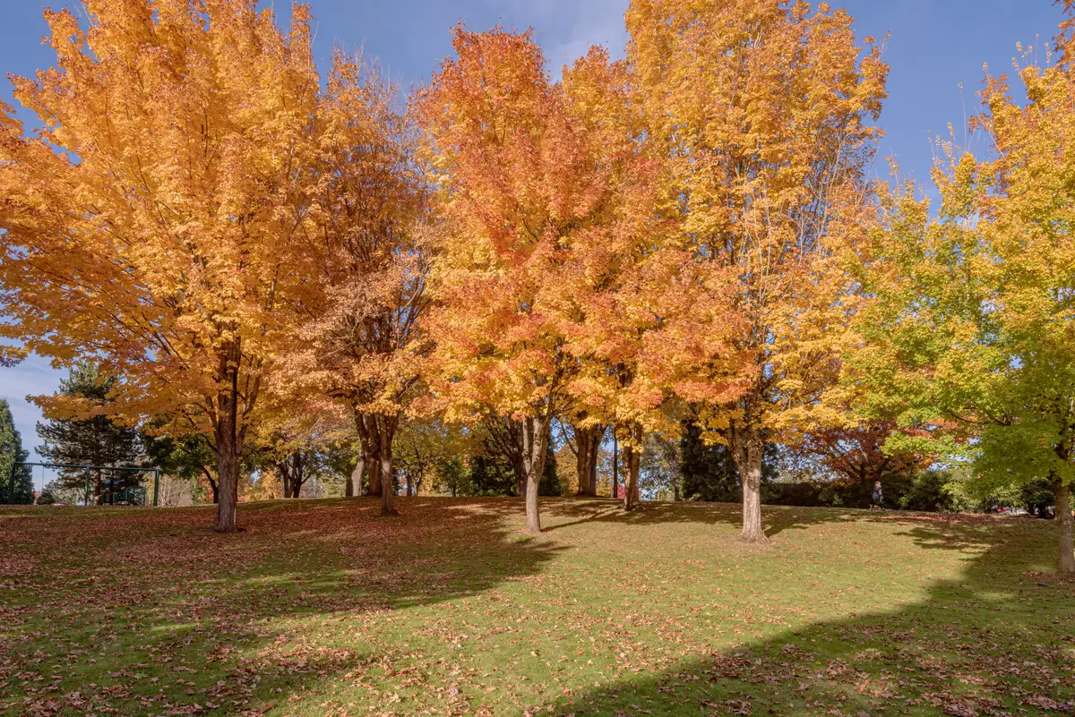
Local Expert Takeaway: Gresham's parks system is most useful to buyers who weight trail access over indoor amenities. The Springwater Corridor is the real anchor — it connects Main City Park to downtown Portland on pavement, and it connects to the Gresham Butte trails and the Gresham-Fairview Trail in the other direction. If you can live within a reasonable walk or bike ride of the Springwater, you have daily access to what most people drive an hour to find. Oxbow Regional Park is closed for a water system replacement as of fall 2026 and is expected to reopen in early 2027 — check Metro's site before planning a trip.
Quick Takeaways & FAQs
✅ Gresham's Springwater Corridor Trail runs 16.5 miles west to downtown Portland on pavement, making car-free commuting a realistic option for trail-adjacent residents.
⚠️ Oxbow Regional Park is temporarily closed as of September 2026 for water system replacement — plan accordingly if river access is a priority.
📍 The Hiroshima Peace Garden at Main City Park, completed in 2022, was planted with seeds from Green Legacy Hiroshima and reflects a cultural depth that sets the park apart from typical suburban greenspace.
How many parks does Gresham have?
Is Oxbow Regional Park open?
Where does the Springwater Corridor Trail go from Gresham?
What is the Gresham Butte Saddle Trail like?
Can you bike from Gresham to Portland on a trail?
Moving to Oregon?
Tell us what you need help with and we'll connect you with local resources.
