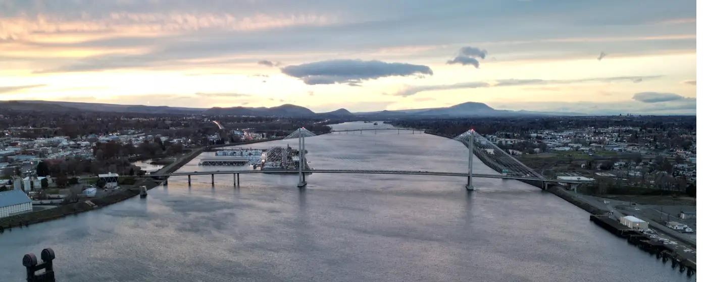
Most cities this size don't have a world-class wine region sitting on their western boundary. West Richland does. The Red Mountain American Viticultural Area — Washington State's smallest and arguably most coveted designated wine-growing area — transitions almost seamlessly from the city's edge into terraced vineyard hillsides where visitors can hike between tasting rooms. That alone sets the outdoor character of West Richland apart from every other Tri-Cities community. But the recreation story here runs deeper than wine country views.
West Richland maintains 14 developed parks across a city of roughly 18,820 residents — a ratio that gives the place a distinctly uncrowded feel on weekday afternoons. The flagship is Flat Top Community Park on W. Van Giesen St., which anchors the social calendar with free summer concerts, Movie Night in the Park, and the winter Carols and Cocoa event. The Bombing Range Sports Complex handles regional-scale organized sports. Nine neighborhood parks are spread through areas like Paradise Hills and Glenbrook, keeping most residents within a short walk of a playfield or playground.
Two rivers frame the city's warm-season life. The Yakima River runs near the city's edge, offering fishing, kayaking, and shoreline walks. The Columbia River, accessible from West Richland, adds rafting and bird watching to that list. An 18-hole golf course sits within city limits. Paved pathways, a community garden on Yellowstone Trail, and trails for jogging and cycling round out a recreation infrastructure that genuinely punches above West Richland's population weight.
Whether you're an avid trail runner, a weekend kayaker, a wine tourist who wants to live near the source, or a parent looking for free Friday-night entertainment at a park pavilion, the sections below break down West Richland's parks system, trail options, river access, and the Red Mountain AVA as a recreation destination in its own right.
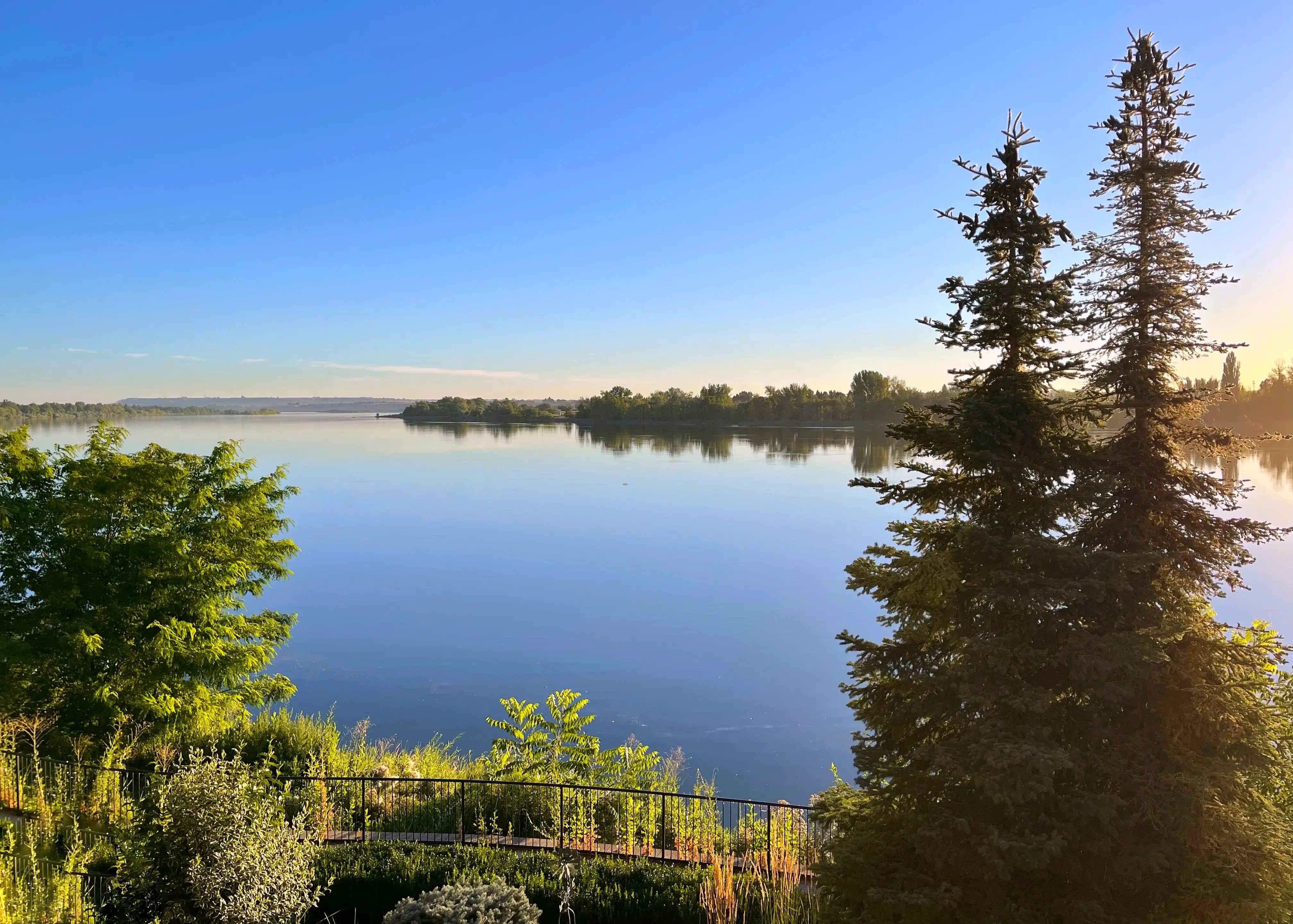
Flat Top Park and the City's 14-Park System
Flat Top Community Park, at 4705 W. Van Giesen St., is the gravitational center of West Richland's parks network. At 10 acres, it holds more than most neighborhood parks twice its size: a community pavilion, basketball and tennis courts, horseshoe pits, multiple playfields, paved pathways, picnic areas, and a Veterans Memorial. Over 180 parking spaces shared with an adjacent Park and Ride make it one of the more accessible parks in the Tri-Cities.
The pavilion is what locals actually gather around. Summer concert series at the pavilion run through warm months, Movie Night in the Park draws families on warm evenings, and the Carols and Cocoa event fills the park in December. These aren't one-off events — they're recurring fixtures that new residents discover in their first season and show up for every year after.
Beyond the flagship, the city's 14-park system breaks into three tiers.
| Park Type | Count | Primary Features | Best For |
|---|---|---|---|
| Regional / Sports Complex | 1 | Bombing Range Sports Complex — multi-field, event-reservable | Families Youth Sports |
| Community Parks | 4 | Pavilions, playfields, courts, picnic areas | Families Walkable |
| Neighborhood Parks | 9 | Play structures, open lawn, smaller footprint | Families Quiet |
The Bombing Range Sports Complex is the city's venue for organized league play and larger recreation events. Residents can reserve both the Flat Top Park facilities and the Sports Complex through the city — and in many cases, West Richland residents pay no fee for personal-use reservations, which is genuinely unusual compared to most municipal parks systems.
One thing worth knowing before you assume every park is equally accessible: the nine neighborhood parks vary considerably in amenities. Some are well-equipped playgrounds with benches and shade structures; others are open lawn with minimal infrastructure. If proximity to a specific feature matters — a tennis court, say, or a covered picnic shelter — check the city's parks directory before assuming the nearest park has it.
Flat Top Hill: The Hike That Surprises New Residents
Flat Top Park and Flat Top Hill are two separate things that share a name and a parking lot. The park is the 10-acre community space with courts and pavilions. The hill is the basalt landmark that rises immediately to the west — and most people moving to West Richland don't realize a trail to its summit starts from the same parking lot.
The hike is short. It is not easy. The trail climbs steeply from the W. Van Giesen St. trailhead, gaining significant elevation in a compact distance over loose volcanic rock. In exchange, the summit delivers a panoramic view of the Columbia Basin that is genuinely hard to match without a much longer drive. On a clear morning you can see the broad bend of the Columbia River, the ridge lines of the Horse Heaven Hills stretching south, and the Columbia Basin floor spread out below.
What Locals Know About the Hill
The trail gets icy in winter and brutally hot in July. Early morning or evening ascents are the standard approach once temperatures climb past 90°F — which happens regularly in West Richland's high-desert summer. Dogs manage the trail fine but need water at the top; there's none up there.
This is one of those spots that new residents discover on a random Saturday and then can't stop recommending. It's free, it's three minutes from the parking lot, and the payoff is a view that most people associate with a much more dramatic landscape. The hill is also visible from much of the city, so after you've done the climb once, you'll notice it on the skyline constantly.
Trail Conditions and Seasonal Reality
The trail is not maintained to the same standard as a paved park path. Expect uneven footing, no shade, and no formal amenities at the summit. In spring the hillside can be muddy from snowmelt; in late summer the vegetation dries to a fire-risk yellow. Wear shoes with grip, bring water for even a 30-minute outing, and check for any posted trail closures during high fire-danger periods — the Columbia Basin does get fire restrictions in dry years.
Rivers, Golf, and Water Recreation
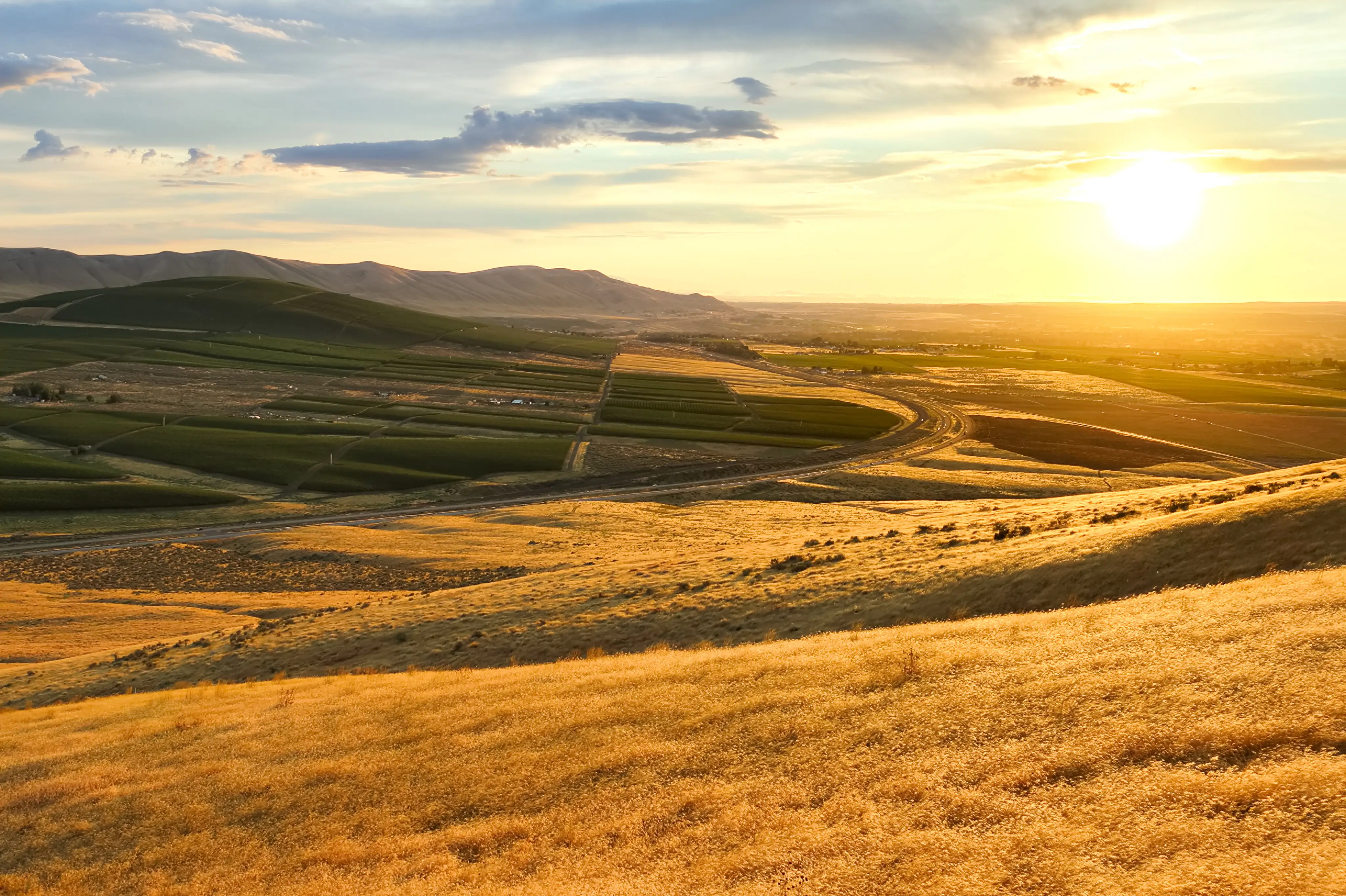
West Richland sits at the confluence zone of two significant rivers, and residents use both. The Yakima River runs near the city's edge and is the more intimate of the two — a popular spot for fishing, kayaking, and shoreline walks where the pace is slower and the crowds thinner than on the Columbia. The Columbia River itself is accessible from West Richland and scales things up considerably: rafting, bird watching, and scenic riverboat tours are all part of the seasonal rotation.
What Each River Offers
| River | Access From West Richland | Primary Activities | Season |
|---|---|---|---|
| Yakima River | Near city edge | Fishing, kayaking, shoreline walks | Spring–Fall |
| Columbia River | Accessible from city | Rafting, bird watching, riverboat tours, fishing | Spring–Fall |
Bird watching along both rivers is more serious here than most newcomers expect. The Columbia Basin sits on the Pacific Flyway, and the riparian corridors along the Yakima and Columbia attract migratory species in spring and fall that draw dedicated birders from well outside the Tri-Cities region.
Golf Within City Limits
An 18-hole golf course operates within West Richland — a detail that matters if you're comparing recreation infrastructure to similarly sized cities in the region. The Columbia Basin's low humidity and long growing season mean playable conditions from early spring through late fall, with relatively few weather cancellations compared to courses further west of the Cascade range.
A Word on Summer Crowds
The Columbia River in particular draws significant recreational traffic from Kennewick, Richland, and Pasco on weekends from late June through August. If you want the water without the crowd, weekday mornings on the Yakima are the local answer. The river is noticeably quieter, the fishing is often better, and you can cover a few miles of shoreline without passing another person.
Looking to buy in West Richland? Estimate your payment.
Enter your numbers to see an estimated monthly mortgage payment.
Estimate only. Excludes HOA fees and mortgage insurance. The interest rate above is a starting point, not a quoted rate — replace it with your own to see real numbers. Insurance is a flat placeholder, not a West Richland quote.
Red Mountain AVA: Wine Country as a Recreation Destination
The Red Mountain American Viticultural Area sits directly on West Richland's western boundary — not in the abstract sense of "nearby wine country," but in the literal sense that the AVA's edge begins where the city's edge ends. Established in 2001, it is Washington State's smallest designated wine-growing area, encompassing approximately 4,040 total acres with around 2,382 acres under vine and more than 15 wineries.
The numbers behind the wine explain why the landscape looks the way it does. Red Mountain receives only about 6.8 inches of annual precipitation — among the driest growing conditions of any American Viticultural Area — and has a 187-day growing season long enough to fully ripen Cabernet Sauvignon, Merlot, Malbec, and Syrah to a concentration that's become something of a regional calling card. The hillside vineyards aren't decorative backdrop; they're actively producing fruit that ends up in bottles distributed nationally.
Recreation Beyond the Tasting Room
What makes Red Mountain genuinely unusual as a recreation destination is the range of activities beyond wine tasting. Several wineries offer hiking trails through the vineyard hillsides — you can walk the vine rows with a view of the Columbia Basin below. Wagon rides and trail rides through the AVA are also available through operators in the area, making it a viable half-day outing even for visitors who don't drink.
After a morning on the vineyard trails, Tapp'd on W. Van Giesen St. — a self-serve beer, cider, and wine taproom right in West Richland — gives you a place to decompress closer to home without heading back into Richland or Kennewick. It's a small but telling detail about how the city's social infrastructure has started to catch up with its outdoor offerings.
The Practical Reality of Living Next to an AVA
Proximity to Red Mountain is one of those things that takes about three months to fully register after you move here. At first it reads as a nice bonus — "wine country nearby." Then you realize you can drive to a tasting room in under 10 minutes on a Tuesday afternoon, that the winery trails are genuinely uncrowded on weekdays, and that the hillside views from the AVA looking back toward the city are among the best angles on the Columbia Basin you'll find without a longer drive. It becomes a regular part of the weekend rotation in a way that's harder to explain to someone who hasn't lived here than it is to experience firsthand.
The catch: Red Mountain's harvest season in September and October brings more visitor traffic than the area sees the rest of the year. The roads through the AVA are narrow, tasting room waits get real on fall weekends, and parking at popular wineries can fill up by midday on a Saturday in October. Locals generally go early or go on weekdays — the same advice applies to the hill hike and the river access.
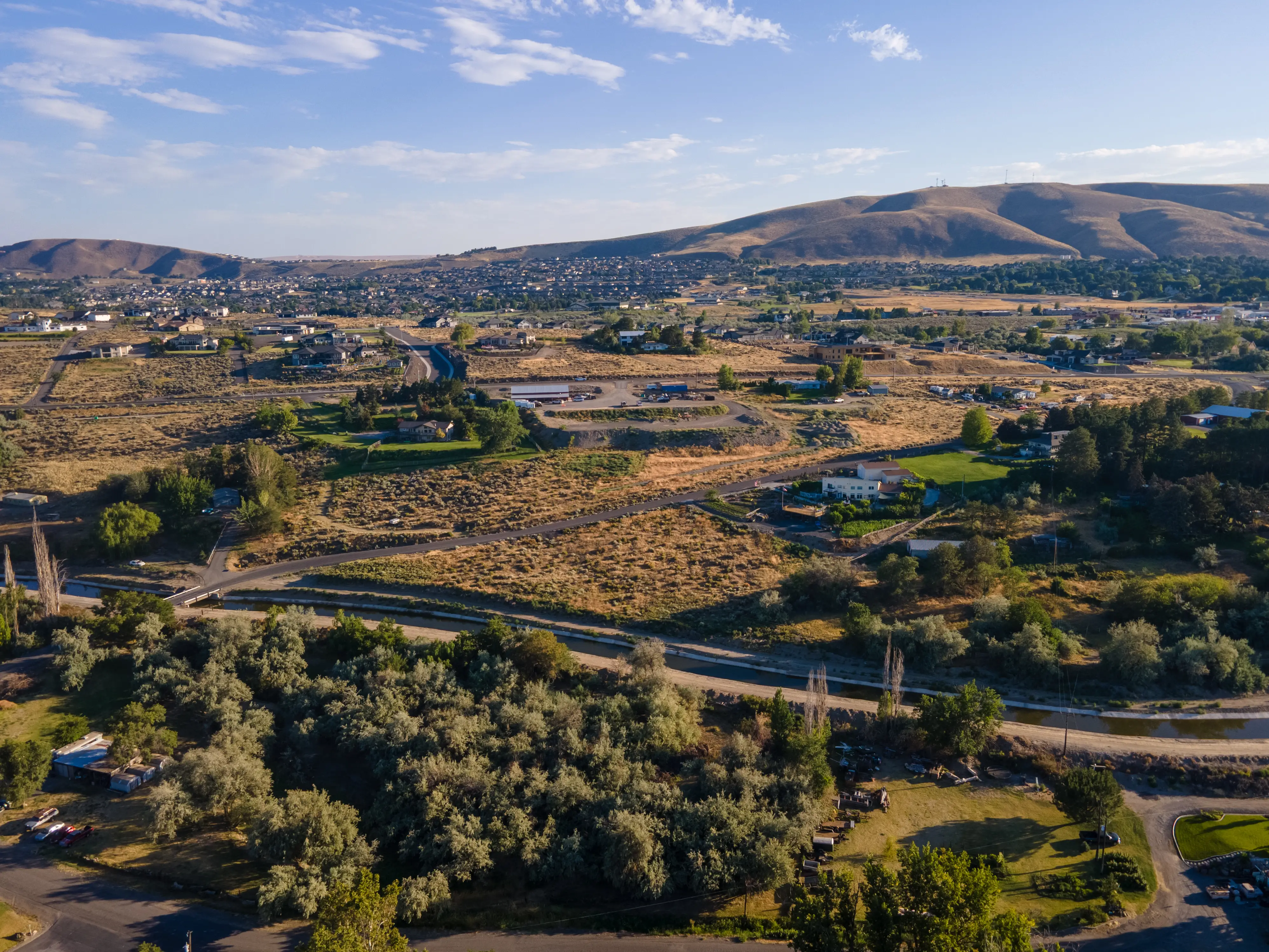
Local Expert Takeaway: West Richland's recreational identity is built on three things most cities its size don't have simultaneously: a flagship park with a genuinely steep summit hike out the back, two rivers within reach for kayaking and fishing without leaving the metro area, and the Red Mountain AVA sitting on the city's western edge — close enough to visit on a Tuesday afternoon. The Flat Top Hill trail from the W. Van Giesen St. parking lot is the single best free activity in the city and most new residents don't find it for months. Start there on your first weekend.
Quick Takeaways & FAQs
✅ West Richland maintains 14 developed parks for roughly 18,820 residents, including the Bombing Range Sports Complex and nine neighborhood playgrounds — giving the city a park-per-capita ratio that most similarly sized Washington cities don't match.
⚠️ The Red Mountain AVA's harvest season in September and October brings real weekend traffic to the narrow roads through wine country — tasting room waits and parking at popular wineries can surprise first-time visitors who show up at noon on a Saturday in October.
📍 Flat Top Hill's summit trail starts from the Flat Top Community Park parking lot on W. Van Giesen St. — it's short, steep, and delivers a panoramic Columbia Basin view that most newcomers don't discover until a neighbor mentions it.
What is Flat Top Park in West Richland and what does it offer?
Can you hike Flat Top Hill in West Richland, and how hard is it?
Is the Red Mountain wine region actually accessible from West Richland?
What water recreation is available near West Richland?
How many parks does West Richland have, and can residents reserve facilities?
Moving to Washington?
Tell us what you need help with and we'll connect you with local resources.
