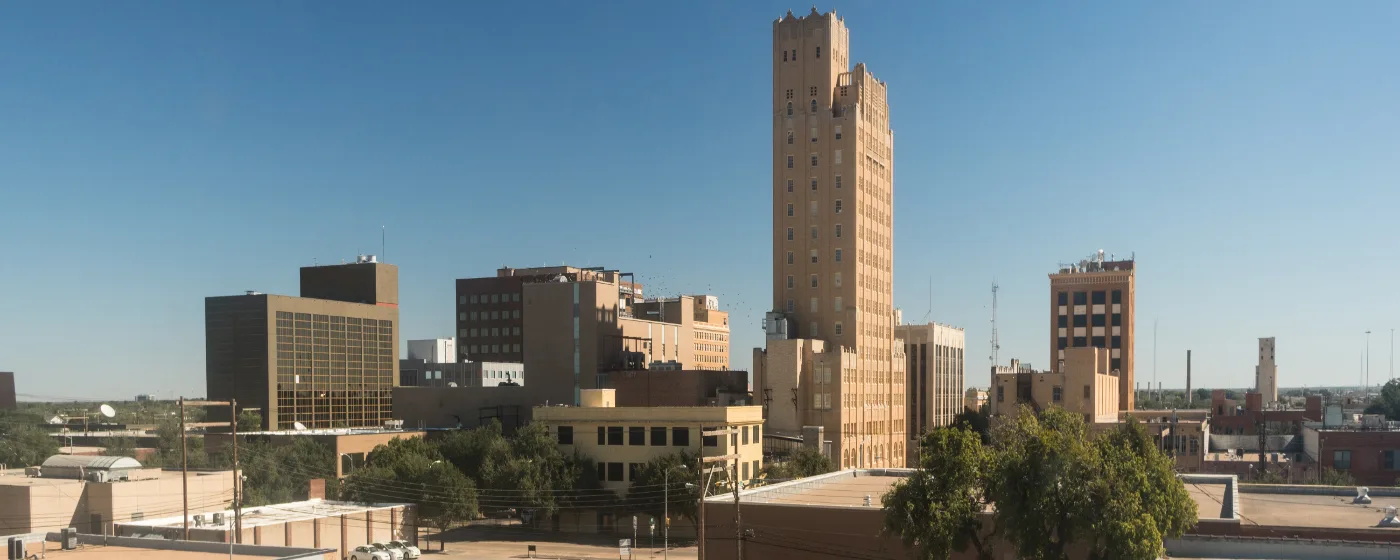
Most people who move to Abilene say the same thing after a few months: the city feels much safer than the internet suggested. That gap between perception and daily reality is worth understanding before you decide on a neighborhood. Abilene sits in the heart of the Big Country — 131,588 residents, anchored by Dyess Air Force Base and three universities, and large enough that crime is neither absent nor evenly distributed. Where you land in this city matters more than the city-wide number.
The raw statistics place Abilene near the state and national averages, which isn't a ringing endorsement, but it's also not the outlier story that crime-mapping sites sometimes imply. Larceny and vehicle break-ins drive most of the property crime count — the same pattern you'd see in almost any mid-size Texas city. Violent crime is more concentrated, and that concentration is geographic. Knowing where it concentrates is the practical knowledge a relocating family actually needs.
The city also has a track record of improving those numbers. Multi-year FBI Uniform Crime Report data shows a declining trend in both violent and property crime, and Abilene Crime Stoppers took the 2024 Productivity Award at the Texas Crime Stoppers Conference for the most cases cleared among cities in the 100,001–150,000 population bracket — a sign that community-law enforcement collaboration here is working rather than stalling. That context doesn't erase the concentrated risk in certain corridors, but it does change the trajectory of the conversation.
This guide breaks down Abilene's crime rates city-wide and by neighborhood, explains what the raw numbers miss, identifies which areas consistently rank safest, and gives you an honest look at the pockets of higher risk — so you can make a well-informed choice about where to put down roots.
Abilene's Crime Rate in Context
Abilene carries a violent crime rate of 4 per 1,000 residents and a property crime rate of 18 per 1,000 residents. Compared with the state, Texas runs at a violent rate of 4 per 1,000 and a property rate noticeably above Abilene's figure. Against national benchmarks — a violent rate of 3.7 per 1,000 and a property rate of 18.4 per 1,000 — Abilene's violent rate is slightly above the U.S. figure and its property crime rate sits modestly below the national average.
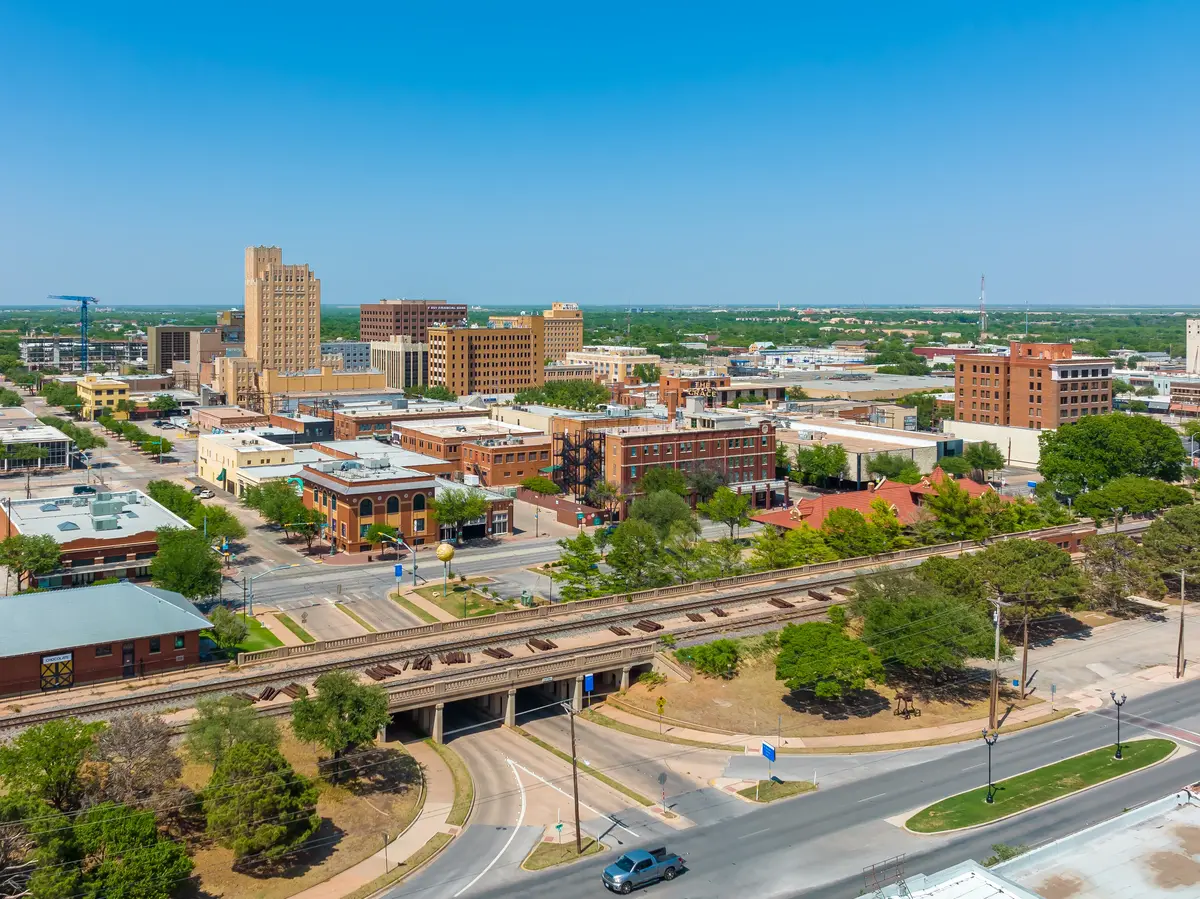
That picture is less alarming than many crime-aggregator sites make it look, partly because of how those sites calculate their numbers. When third-party mapping tools count total incident reports and weight them against a city-wide population, they flatten a critical reality: crime in Abilene is not spread evenly. The southwest commercial corridor — high-traffic retail strips and parking lots — sees a disproportionate share of property incidents. The southeast residential zones see far fewer. A city-wide rate averages those two realities into a single number that represents neither.
Larceny and theft make up the largest share of reported crime here, consistent with the national pattern. Auto burglaries and retail theft along commercial corridors drive the raw count upward without reflecting the lived experience in established residential neighborhoods. That's the first thing most new residents learn: the number that alarmed them before they moved didn't apply to the street they ended up on.
This page shows a full comparison table immediately after this section — use it as your baseline before reading the neighborhood breakdown below.
The Geographic Reality: Where Risk Is High and Where It Isn't
The safest and least safe areas in Abilene are not separated by a single road — they're separated by quadrants. The southeast of the city consistently records the city's lowest crime rates; the central and southwest corridors record the highest. Understanding that divide is more useful than any single city-wide statistic.
The Southeast Advantage
The Far Southside — particularly the area served by Wylie ISD — Chimney Rock, Lytle, and River Oaks / Brookhollow form the broad southeast band that crime-data analysis consistently identifies as the city's lowest-risk residential zone. The gap between southeast residential neighborhoods and more central areas is meaningful: residents in the southeast report a day-to-day experience that feels genuinely quieter than what city-wide numbers suggest, while those in central neighborhoods are more likely to cite property crime as a background concern.
That differential matters when you're choosing between neighborhoods that might look similar on a map. A ten-minute drive southeast of downtown puts you in a meaningfully different risk environment.
The Commercial Corridor Distortion
The southwest commercial strip skews every raw crime count you'll find online. The retail centers, parking lots, and high-traffic commercial zones along that corridor generate the bulk of Abilene's property crime reports — retail theft, vehicle break-ins, and similar incidents that have nothing to do with residential life. When a mapping site colors that zone red and applies the number city-wide, it's counting shoplifting at a big-box store the same way it counts a residential burglary. They are not the same risk to a homeowner.
This is the most common mistake people make when researching Abilene's safety online. The neighborhood guide walks through each area's character in more detail — the safety picture is one layer of a broader comparison.
Neighborhood-by-Neighborhood Safety Picture
Far Southside (Wylie ISD Area)
Consistently earns the city's strongest safety ratings by both resident surveys and crime-data analysis. Newer construction, active HOAs, and strong school-driven residential demand all contribute to a stable environment. If minimizing property crime exposure is your primary criterion, this is where that search starts.
Best for: Families School-focused buyers
Chimney Rock
A master-planned community built largely in the 1980s and 1990s, Chimney Rock draws healthcare professionals and business owners who prize a quiet setting. Residents consistently describe it as peaceful and family-friendly, and crime-data layers support that reputation. The neighborhood's physical design — a planned grid with clear sight lines and active foot traffic — contributes to a low-incident environment.
Best for: Families Quiet living
Westwood / Westwood Richland
One of the larger lower-crime zones in the city, with an established community infrastructure and a reputation for stability. It doesn't have the newer construction of the Far Southside, but its size means you have more options at entry-level price points while staying in a safer corridor. Resident sentiment here is consistently positive on safety.
Best for: Value seekers First-time buyers
River Oaks / Brookhollow
Sits within the broader southeast safety band, which gives it favorable crime metrics compared with central Abilene. The neighborhood draws buyers who want proximity to the south side's safety profile while staying in an established, tree-lined environment. Runs above the city median on price, which tends to correlate with lower turnover and more stable residential character.
Best for: Families Established character
Sayles Boulevard and Elmwood
Both neighborhoods have genuine strengths — walkability, older tree canopy, architectural character — but the safety picture is more variable than the southeast. The established interior blocks of both areas are broadly praised by residents, and cleanliness is consistently noted. The edges of these neighborhoods, particularly where they approach commercial corridors, show more mixed conditions in crime-data layers.
If you're drawn to either area, street-level research matters more here than in the southeast. The difference between a block inside Elmwood and one on its commercial edge can be significant. Both neighborhoods sit below the city median on price, which reflects their age and some of that variability.
Best for: Walkability Character seekers
Park Central
Resident sentiment here skews positive — local neighborhood forums consistently describe it as peaceful and family-friendly, with well-maintained sidewalks and a genuine sense of neighborhood cohesion. Crime-data sources, however, list it among the higher raw-count zones, largely because of its proximity to commercial corridors that inflate incident totals without reflecting residential risk. The disconnect between the two signals is real and worth sitting with.
The practical advice: visit in the evening, talk to people who live on specific blocks, and weight resident experience alongside the data-layer picture. Park Central runs above the city median on price, which signals that buyers are sorting it favorably despite the proximity to commercial activity.
Best for: Families Walkable streets
Lytle / Lytle Lake
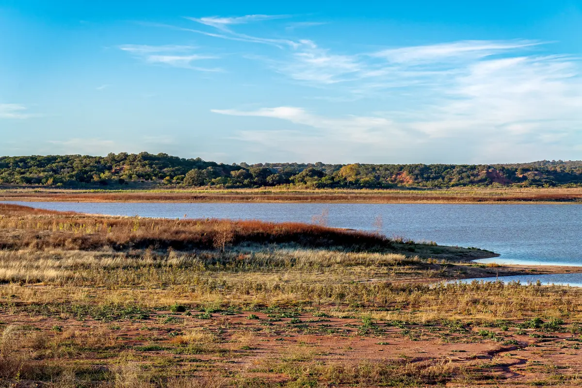
Lytle sits within the southeast safety corridor and benefits from the same favorable conditions as Chimney Rock and the Far Southside. The lake itself anchors the neighborhood and draws residents who want both a quieter environment and on-foot access to outdoor space. Runs above the city median, which is consistent with its location and amenity profile.
Best for: Nature access Quiet living
Looking to buy in Abilene? Estimate your payment.
Enter your numbers to see an estimated monthly mortgage payment.
Estimate only. Excludes HOA fees and mortgage insurance. The interest rate above is a starting point, not a quoted rate — replace it with your own to see real numbers. Insurance is a flat placeholder, not a Abilene quote.
What Residents Actually Worry About — and What They Don't
When Abilene residents flag safety concerns on neighborhood forums, the top issues are stray animals and traffic — not violent crime. That's a meaningful signal. It means the day-to-day experience of living here, even in many moderate-risk areas, doesn't involve the background anxiety that defines life in genuinely high-crime cities.
The concerns that do come up around property crime are predictable: unlocked vehicles, items left visible in cars, and opportunistic package theft near front doors. None of those are unique to Abilene, and all of them are manageable with basic habits. Residents who have moved here from larger Texas metros often note that they feel more comfortable here than they expected given what they read online before moving.
The Six-Month Surprise
The most common thing people say after six months in Abilene is that the neighborhood they researched on a crime-mapping site turned out to feel nothing like what the color-coded map implied. That's almost always because those maps count commercial incidents against a residential population. Once you understand that distortion, the southeast's genuine advantage becomes clearer — and the doomsday reading of neighborhoods like Park Central becomes easier to put in proportion.
The honest downside: Abilene's central corridors do have real elevated risk, and if work or price pulls you toward a more central address, that trade-off exists. The city isn't uniformly safe, and pretending the geographic divide doesn't matter would be doing you a disservice. What the data supports is that choosing your quadrant carefully is the most effective safety decision you can make here.
Community Infrastructure That Backs the Numbers
Abilene Crime Stoppers won the 2024 Productivity Award at the Texas Crime Stoppers Conference, recognized for the most cases cleared among cities in its population bracket. That kind of recognition reflects an institutional structure — anonymous tip lines, case tracking, community participation — that moves outcomes rather than just reporting them. It also suggests that law enforcement here is working with residents rather than around them, which shows up over time in the declining trend the data has recorded.
How to Research Safety Before Deciding on a Neighborhood
City-wide crime rates are a starting point, not a conclusion. The meaningful safety differential between Abilene's southeast and central neighborhoods makes the city-wide average nearly useless for anyone trying to choose between specific areas. Here's how to sharpen the picture before you commit to a neighborhood.
Use Quadrant Thinking, Not Just Zip Codes
Abilene's safety geography follows a clear pattern: southeast is the lowest-risk residential zone, central and southwest commercial corridors carry the highest raw counts. When you look at a specific neighborhood, ask yourself which quadrant it sits in before you interpret any crime data attached to it. That orientation will tell you more than the color on a map.
Distinguish Residential from Commercial Counts
Any crime-mapping tool that shows you a raw incident count without separating commercial and residential reports is showing you a distorted picture. The southwest commercial strip accounts for a disproportionate share of Abilene's total property crime incidents — parking lots, retail theft, vehicle break-ins at shopping centers. A neighborhood adjacent to that corridor may look high-risk in aggregate while its residential blocks are genuinely stable. Tools like CrimeGrade or NeighborhoodScout let you look up specific addresses and can help you see whether the risk is attached to nearby commercial activity or to the residential blocks themselves.
Walk the Blocks at Different Times
No data source tells you whether the specific street you're considering has the pride-of-ownership maintenance and neighbor-to-neighbor familiarity that correlates with low crime. Evening visits reveal things that midday drive-bys don't. Sayles Boulevard's character blocks feel meaningfully different from its edges — a detail no map conveys.
Check the Schools Separately
Safety and school quality travel together in Abilene's southeast corridor, but they're not the same decision. The Far Southside is served by Wylie ISD rather than Abilene ISD, which changes the district context entirely. If school assignment matters to your household, sort that out before you sort the neighborhood. The schools page covers both districts in detail. And if you're weighing the cost of living across neighborhoods, the cost-of-living page has the full breakdown on what typical homes run across the city.
Read the Local Nextdoor Threads
For Abilene specifically, the local Nextdoor communities are an unusually useful resource. The concerns residents raise there — stray dogs, traffic speed, a loose gate at a park — are a reliable gauge of what actually bothers people day-to-day in a given area. When those are the dominant threads, it tells you something real about the baseline quality of life on those streets.

Local Expert Takeaway: Abilene's safety picture is genuinely better than most pre-move internet research suggests — but it's not uniform. The southeast quadrant, anchored by the Far Southside (Wylie ISD area), Chimney Rock, and Lytle, carries a residential crime risk profile that compares favorably with most mid-size Texas cities. If you're coming from a larger metro and worried about what the city-wide number implies, the southeast is where that number stops applying to you. The central corridors are a different story, and so are the commercial strips that skew the raw counts online. Do the quadrant-level research before you settle on an area, and weight resident experience — especially on Nextdoor — alongside the data-layer maps.
Quick Takeaways & FAQs
✅ Abilene's southeast neighborhoods consistently record the city's lowest violent and property crime rates, with a meaningful safety gap compared with more central areas.
⚠️ City-wide crime rates for Abilene are often inflated by commercial corridor incidents — a distinction that matters enormously when evaluating specific residential neighborhoods.
📍 Abilene Crime Stoppers won the 2024 Texas Crime Stoppers Productivity Award for the most cases cleared in its population bracket, reflecting active community-law enforcement collaboration.
Is Abilene, TX a safe place to live?
Which neighborhoods in Abilene have the lowest crime rates?
How does Abilene's crime rate compare with the Texas and national average?
Why do crime-mapping websites show Abilene as high-risk?
Is the Far Southside (Wylie ISD area) actually safer than the rest of Abilene?
Moving to Texas?
Tell us what you need help with and we'll connect you with local resources.
