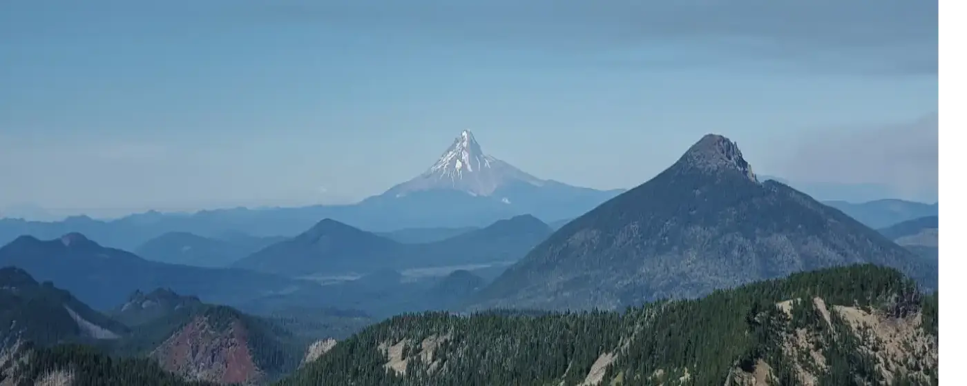
Most people moving to a city of 10,199 don't expect it to outperform the state's safety numbers by a wide margin. Independence does. With a violent crime rate of 1.8 per 1,000 residents — nearly half the Oregon state rate and less than half the national rate — the city consistently lands in the conversation about the Willamette Valley's quieter, more livable small towns. That reputation isn't accidental; it reflects a combination of deliberate community investment, a department that publishes its numbers, and the natural dynamics of a tightly knit city where people tend to know their neighbors.
Context matters here, though. Independence is not Salem. The commercial density, foot traffic, and associated property crime patterns you'd find in a larger city are different at this scale. The downtown waterfront area along the Willamette River draws visitors and weekend traffic, and like any active commercial core, it's where calls for service are concentrated — not because it's dangerous, but because that's where activity is. Understanding that distinction is the difference between reading a heat map accurately and misreading it entirely.
The city has also been investing structurally in its safety infrastructure. In June 2024, the City Council adopted a dedicated public safety fee designed to generate approximately $1.06 million annually for the police department, with the explicit goal of bringing officer staffing levels closer to the national average for a city of this size. That kind of committed, line-item funding signals something real about the city's priorities — and it's worth knowing before you decide on a neighborhood.
Whether you're weighing Independence against nearby Salem or Monmouth, or simply trying to understand what the crime numbers actually mean on the ground, the sections below break down the city's violent and property crime rates in context, describe how safety varies across neighborhoods, explain what the Independence Police Department is doing day-to-day, and give you concrete ways to research any specific block before you commit.
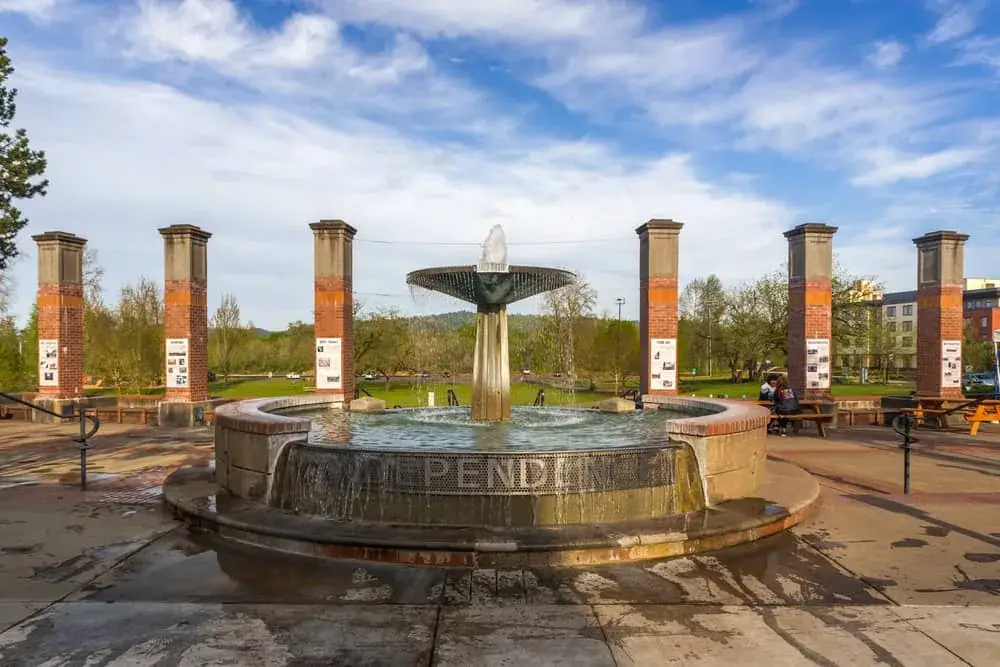
Independence Crime Rates vs. Oregon and the Nation
The headline figure is straightforward: Independence has a violent crime rate of 1.8 per 1,000 residents. Oregon's state violent crime rate is 3.3 per 1,000, and the national violent crime rate is 3.7 per 1,000. Independence runs at roughly half the state average and less than half the national one.
On the property crime side, the city carries a property crime rate of 11.2 per 1,000 residents. The state property crime rate is 24.5 per 1,000 and the national property crime rate is 18.4 per 1,000. Both comparisons favor Independence — and by a wider margin than most people expect from a Willamette Valley city with a functioning downtown and direct highway access.
The FBI's 2024 crime data, released in September 2025, recorded zero reported homicides in Independence for that reporting year. Recent SafeWise analysis drawing from FBI crime statistics confirmed that Independence's rates put it among Oregon's quieter cities on both measures, even as violent crime edged slightly upward in the most recent reporting period — a pattern worth watching but not one that changes the overall picture.
What the numbers above do not show is where the crime that does occur tends to cluster. That geography matters more to a household choosing a neighborhood than any city-wide average.
How Safety Varies Across Independence's Neighborhoods
Independence is small enough that no neighborhood exists in genuine isolation from the city's overall character — but there are meaningful differences in the texture of daily life and the types of incidents that occur in different parts of town. Crime map tools the city itself links to can visualize this, but the pattern they reveal is less alarming than it first appears.
The Downtown / Historic District and the adjacent Old Town (Thorp's Town) area show the highest concentration of calls for service on any heat map of Independence. This reflects foot traffic and commercial activity — the Willamette River waterfront, Independence Bridge, and the concentration of businesses draw people, and more people means more calls of every kind, including minor ones. Residents who live in these areas generally report that the energy feels active rather than unsafe, and that distinction holds when you look at the type of incidents rather than raw call volume.
Brandy Meadows and Mountain Fir Estates are established residential neighborhoods with a quieter character and lower incident visibility. Families with school-age children tend to gravitate toward these areas. Northgate and Sunset Meadows share a similar profile — newer-era residential development with the kind of street-level calm that comes from lower through-traffic and consistent owner occupancy.
North Park sits closer to the central core and blends the walkable proximity of downtown with a somewhat more mixed residential character. Southwest Crossing, at the city's outer edge, offers the most separation from commercial activity and typically sees the quietest incident patterns of any named area in Independence.
No neighborhood-level crime rate data is available for Independence at the granular level — the city is simply too small for that kind of statistical segmentation to be reliable. What you can do is run the city's crime map portal before settling on a specific block, and use the context from this section to interpret what you see. For a fuller picture of what each neighborhood actually feels like day to day, see the neighborhood guide.
Best for:- Walkable Downtown / Historic District — active waterfront, closest to everything, highest call volume context
- Families Brandy Meadows, Mountain Fir Estates, Sunset Meadows — established residential, quieter streets
- Quiet Southwest Crossing — most removed from commercial traffic, lowest incident visibility
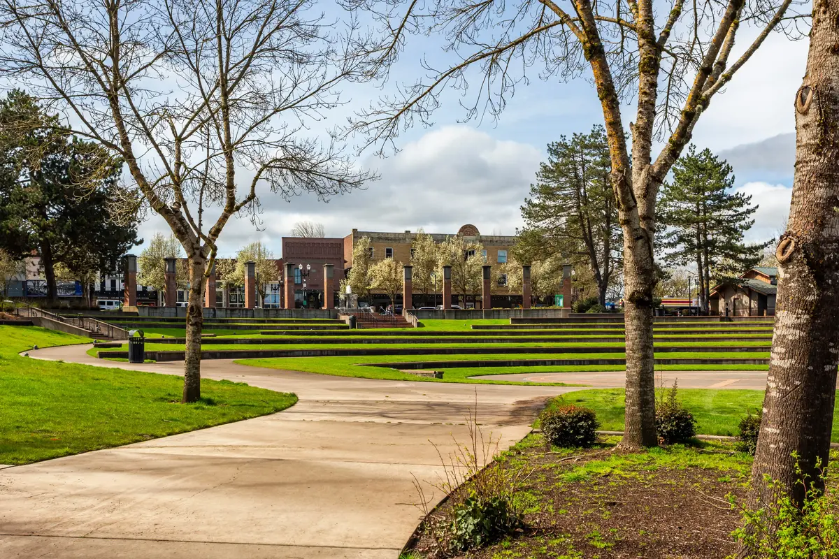
What the Independence Police Department Actually Does
A city's safety story is only partly told by crime statistics. The other half is the department's operational posture — what it prioritizes, how it engages, and whether residents have reason to trust it.
The Independence Police Department, led by Chief Juventino "Tino" Banuelos, describes its approach as community-oriented and data-driven. The monthly activity reports the department publishes on the city's official website are a good indicator of that transparency. In one sample month — February 2025 — officers logged 648 activities, including arrests, welfare checks, domestic disturbance responses, and emotional-health calls. Publishing that breakdown publicly is a deliberate act of accountability.
The department runs several programs that go beyond standard patrol. A volunteer police cadet unit builds the police-community relationship from a younger age and supplements department capacity. The Reserve Officer Program adds trained personnel for bicycle patrols, community safety initiatives, and special event assignments — relevant during the city's busier riverfront seasons.
Two resident-facing programs are particularly worth knowing about. The Vacation House Check program is free: residents traveling can register their home and the department will monitor it while they're away. The Surveillance Camera Registration program lets residents voluntarily register private security cameras to assist investigations. Neither is mandatory, but both reflect a department that has thought about what community partnership actually looks like in a city of this size.
The June 2024 public safety fee — generating approximately $1.06 million annually — was specifically structured to stabilize the department's budget and move staffing levels toward the national benchmark for a city of roughly 10,000. That's a concrete structural investment, not a press release. For a city that sits at 10,199 residents, getting the staffing math right matters more than it would in a larger city with more redundancy.
Looking to buy in Independence? Estimate your payment.
Enter your numbers to see an estimated monthly mortgage payment.
Estimate only. Excludes HOA fees and mortgage insurance. The interest rate above is a starting point, not a quoted rate — replace it with your own to see real numbers. Insurance is a flat placeholder, not a Independence quote.
What Surprises New Residents About Safety in Independence
The most common surprise people report after six months in Independence isn't fear — it's adjustment. Coming from a larger city, many newcomers expect a small city to feel completely invisible from a policing standpoint. What they find instead is a department that's genuinely present: officers are out on bikes, the monthly reports are public and specific, and neighbors actually know who to call.
The second surprise is the downtown heat map. First-time residents who look up Independence on a crime visualization tool sometimes see the waterfront corridor lit up relative to the surrounding residential areas and assume the worst. The reality is more mundane: the Willamette River waterfront, Riverview Park, and the downtown commercial stretch draw enough foot traffic that incidents there — a welfare check, a noise call, a minor theft report — register visually in a way that residential streets never would. The incidents themselves are generally the low-level category that any active commercial area generates. Spending an hour walking that corridor on a weekend afternoon will usually recalibrate the impression a heat map creates.
A genuine note of caution: property crime, while well below state and national rates, is the category that most residents actually encounter in Independence. Vehicle break-ins and opportunistic theft are the incidents that come up in neighborhood conversation, not violent crime. The practical advice is basic but specific — lock your car, don't leave valuables visible, and if you're choosing between two otherwise comparable blocks, favor the one with more owner-occupied housing and consistent street-level activity. The city's camera registration program exists partly for exactly this reason.
The Central Talmadge Plan — a city-supported initiative to make the corridor near Central High School more walkable and bikeable with enhanced community gathering spaces — signals that Independence is thinking about safety in the broader sense: not just enforcement, but infrastructure that naturally reduces the conditions where low-level property crime tends to occur. That kind of planning typically takes years to show results, but the fact that it was developed with ODOT support and is already adopted gives it more staying power than a city council resolution.
How to Research Safety Before Choosing a Block in Independence
City-wide crime rates tell you whether Independence is safe relative to Oregon and the country. They do not tell you whether a specific street on the north side of Northgate sees more calls than the south side. For that level of research, you have a few reliable options.
Start with the Independence Police Department's monthly activity reports, archived on the city's official website. These are published consistently and give you a ground-level picture of what officers are actually responding to — not just how many incidents were reported, but what category of incidents, which is far more useful than a number alone. Reading three or four consecutive months gives you a realistic baseline rather than a single snapshot.
The city's own crime map portal is the second tool worth using. The key is to filter by incident type before drawing conclusions. A block that shows up repeatedly for welfare checks and noise complaints reads differently than one showing theft or vehicle break-ins. The heat map view is useful for a quick orientation, but incident-type filtering is where the actually useful information lives.
If you're seriously considering a specific address, talk to neighbors — not just the current owner. In a city of 10,199, a few conversations with people on the same block will tell you more about the lived safety experience than any data aggregator will. People who have lived in Independence for more than a year have a concrete read on whether their street feels like the city's aggregate numbers or whether something specific is off.
One thing worth checking specifically: if a property is near the downtown commercial corridor or the Riverview Park area, run the crime map at the block level rather than the neighborhood level. Activity concentrates at those nodes in ways that won't show up in a neighborhood-wide summary, and a block that backs directly onto a high-traffic commercial area has a different risk profile than one two streets away. For a broader view of how the neighborhoods compare, see the best neighborhoods guide. For context on what the overall cost of living looks like alongside these safety figures, the cost of living page covers the full picture.

Local Expert Takeaway: Independence's safety numbers are genuinely strong for a Willamette Valley city — a violent crime rate of 1.8 per 1,000 residents lands well below both the Oregon and national averages, and the city carries a property crime rate of 11.2 per 1,000 residents that sits well under the state figure as well. The practical caution is property crime, specifically the opportunistic vehicle and theft incidents that turn up in neighborhood conversation. If you're narrowing down a specific block, use the department's published monthly activity reports, filter the crime map by incident type rather than just density, and walk the waterfront corridor before assuming its heat-map footprint means what it looks like — active foot traffic and a genuinely worrying block are not the same thing, and in Independence they usually aren't.
Quick Takeaways & FAQs
✅ Independence has a violent crime rate of 1.8 per 1,000 residents — roughly half the Oregon state average and less than half the national rate, making it one of the quieter cities in the Willamette Valley.
⚠️ Property crime, while still well below state and national rates, is the category residents most often mention in neighborhood conversation — vehicle break-ins and opportunistic theft are more common than violent incidents.
📍 The Independence Police Department publishes monthly activity reports and offers a free Vacation House Check program — two concrete tools worth using before and after you settle on a neighborhood.
Is Independence, Oregon a safe place to live?
Which neighborhoods in Independence, Oregon are the safest?
How does Independence's crime rate compare to Salem, Oregon?
What is the Independence Police Department doing to address crime?
Is the downtown Independence waterfront area safe to walk around?
Moving to Oregon?
Tell us what you need help with and we'll connect you with local resources.
