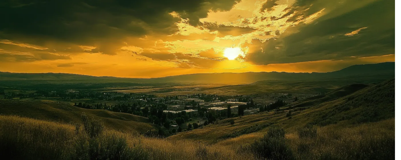
Most cities of 97,000 people can claim a decent park system. Yakima can claim something rarer: a canyon carved by 17.5-million-year-old Columbia River flood basalts six miles from downtown, a river trail that connects neighborhoods without a car, and a free 46-acre living museum you can walk into any day of the week. The surprise for people moving here from the west side of the Cascades isn't the heat — it's how much outdoor infrastructure the city has packed into a high-desert valley that averages more than 300 sunny days a year.
The Yakima Greenway is the connective tissue. It stitches together Sarg Hubbard Park, the Yakima Area Arboretum, fishing lakes, off-leash dog areas, and river-access landings along the Yakima and Naches Rivers — so the parks aren't isolated amenities; they're a linked system you can move through on foot or by bike. Beyond the valley floor, the Cowiche Canyon Conservancy manages over 7,000 acres and more than 60 miles of non-motorized trail in the uplands to the northwest, while Yakima Sportsman State Park holds 266 acres of Yakima River floodplain on the east side. The outdoor options are genuinely varied, from a stocked trout lake that's a ten-minute drive from most neighborhoods to canyon hikes that feel like a different planet.
One thing newcomers don't always anticipate: the seasonal rhythm here is inverted compared to the Puget Sound region. Spring and fall are peak outdoor seasons — the canyon wildflowers peak in April and May, and fall hop harvest fills the air with a yeasty, floral scent that locals either love or need a few years to appreciate. Summer afternoons push into the 90s and occasionally past 100°F, which pushes most serious trail use to early mornings. That's not a dealbreaker; it just means you run the Greenway at 7 a.m. instead of 11.
Whether you're weighing a move or already unpacking boxes, the sections below break down Yakima's signature parks, the Greenway system in detail, the Cowiche Canyon trail network, and seasonal recreation across the valley — so you know exactly what outdoor life looks like here before you commit.
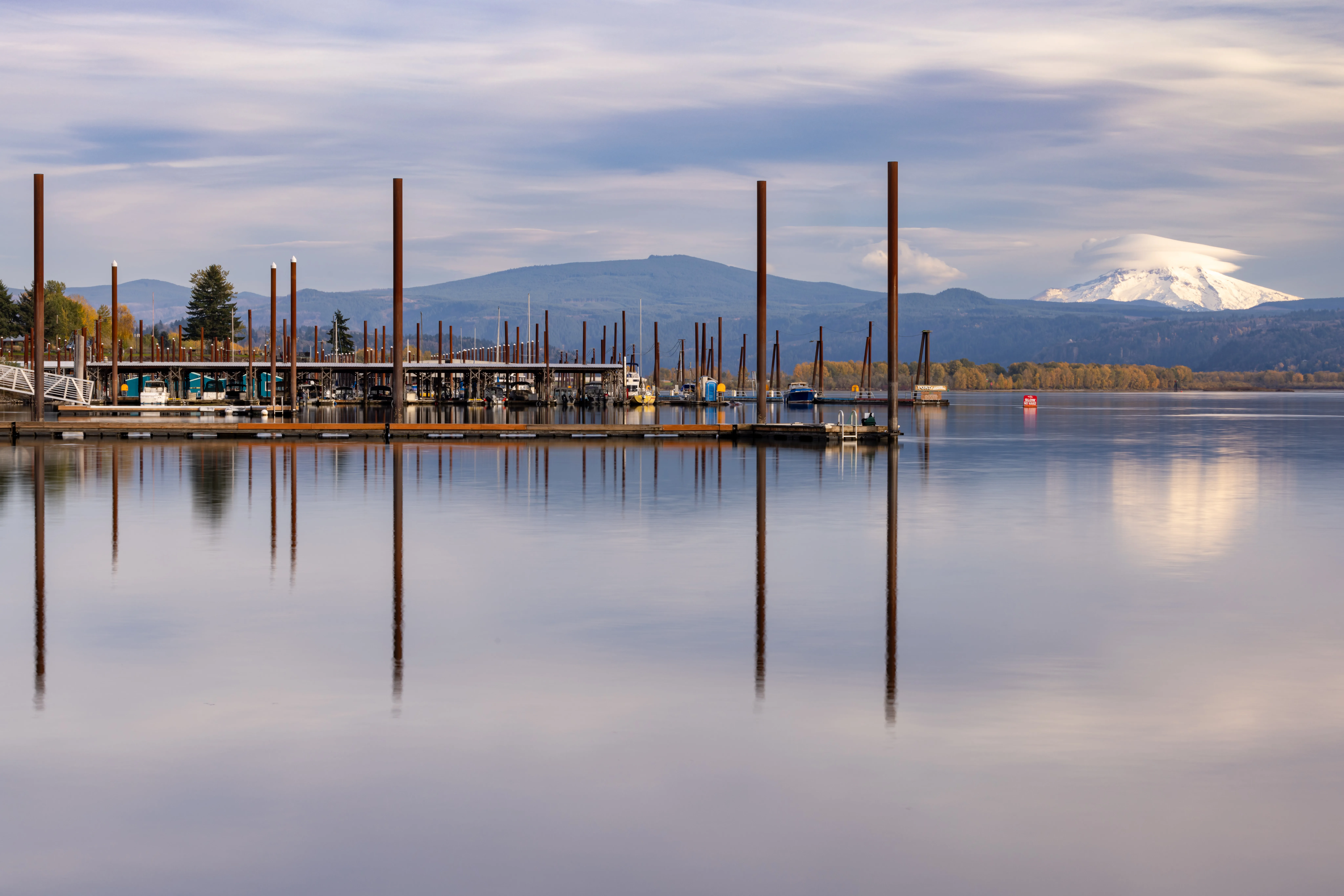
Sarg Hubbard Park and the Yakima Area Arboretum
Sarg Hubbard Park at 111 S 18th St is where most Yakima outdoor routines begin. It sits at the center of the Greenway system and anchors the whole south-of-downtown corridor with amenities that punch well above what you'd expect from a city park.
Park Lake: A Former Gravel Pit That Became a Fishery
The 16-acre Park Lake at Sarg Hubbard is a former gravel pit, now managed by the Washington Department of Fish and Wildlife and stocked with rainbow trout. Grass carp were introduced in 2003 to control Eurasian milfoil, which gives the lake a clean, clear quality that makes it usable even in midsummer. The lakeside amphitheater books summer concerts; the BBQ picnic pavilion fills up on weekend afternoons with extended families; outdoor fitness stations run along the perimeter for people who want a workout with a view instead of a gym.
A paved side trail connects Sarg Hubbard directly to the Yakima Area Arboretum, which means you can fish the lake, walk the trail, and be standing in the Japanese garden within thirty minutes — all without touching a parking lot.
The Arboretum: Free, 46 Acres, Open Every Day
The Yakima Area Arboretum on Arboretum Drive is a free 46-acre living museum with over 1,000 specimens of trees, forbs, grasses, and shrubs. Established in 1967 by the Washington State Federation of Garden Clubs, it includes a Japanese garden with a pagoda that's quietly one of the most serene spots in the city. The grounds are open dawn to dusk seven days a week; the Jewett Interpretive Center is open Monday through Saturday, 9 a.m. to 5 p.m.
The Greenway trail passes directly through the Arboretum grounds, so weekend cyclists and walkers move through it as part of a longer route rather than treating it as a destination that requires a separate trip. That integration is what separates Yakima's park system from a collection of disconnected green spaces.
What surprises people after a few months here: the Arboretum is genuinely useful as a daily stress-reset. It's not a tourist attraction that locals ignore — families with kids use the interpretive center for weekday nature education, and the grounds fill up with lunch-hour walkers from nearby offices when the weather cooperates, which in Yakima is most of the year.
The Yakima Greenway: How the Trail System Actually Works
The Yakima Greenway runs along the Yakima and Naches Rivers, connecting Union Gap in the south to northeast Yakima. The Washington Trails Association documents the main paved trail at 10 miles; when all paved spurs and connecting pathways are included, the Yakima Greenway Foundation counts more than 20 miles of paved trail across the full corridor.
What the Greenway Actually Connects
This isn't a trail that starts and ends in the same park. The Greenway links Sarg Hubbard Park, the Yakima Area Arboretum, fishing lakes, off-leash dog areas, boat landings, picnic areas, and playgrounds into a single continuous system. Families use it for weekend rides. Dog owners use the off-leash sections in the morning. Anglers park at the boat landings and fish the Naches River reaches without walking far from their trucks.
The practical question for someone considering a move here: which neighborhoods give you walkable or bikeable Greenway access? West Valley and the areas near Nob Hill have the shortest road distances to trailheads, though most of Yakima is close enough that it's a short drive rather than a multi-step commute. For a fuller look at how neighborhoods relate to these corridors, the best neighborhoods guide breaks down the geographic reality in more detail.
The 2025 Master Plan: Honest About What It Signals
The Yakima Greenway Foundation released a 2025 Master Plan centered on "regaining relevance, renewing collaboration, and refreshing facilities." That language is honest — parts of the trail corridor have aged, some facilities need reinvestment, and the Foundation is signaling publicly that it's aware of the gap between what the Greenway could be and what it currently is. The Master Plan is a positive development, not a red flag, but buyers who want a trail system that's already fully polished should know this one is mid-improvement rather than finished.
The bones are excellent. The gaps are maintenance and amenity refresh. That's a very different problem than a city that doesn't have a trail system at all.
| Greenway Feature | Detail |
|---|---|
| Main paved trail length | 10 miles (WTA); 20+ miles including all paved spurs |
| River corridors | Yakima River and Naches River |
| Endpoints | Union Gap (south) to northeast Yakima |
| Off-leash dog areas | Yes, multiple locations along corridor |
| Fishing lakes | Yes, including Park Lake at Sarg Hubbard |
| Boat landings | Multiple river-access points |
| Connection to Arboretum | Trail passes through Arboretum grounds; side trail to Sarg Hubbard |
| Future investment | 2025 Master Plan released by Yakima Greenway Foundation |
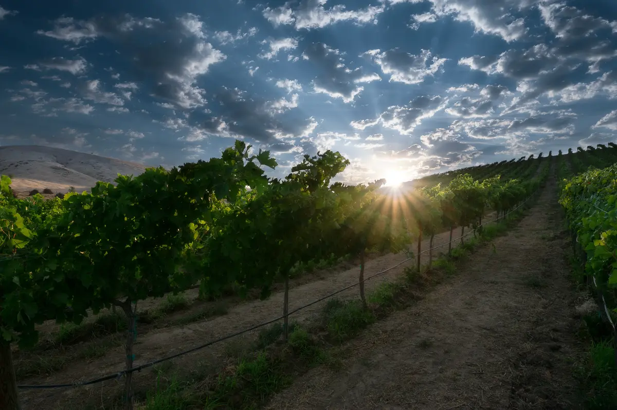
Cowiche Canyon: The Trail System Most Newcomers Don't Know About
Six miles northwest of downtown, Cowiche Canyon is where Yakima's outdoor reputation quietly earns its keep. The Cowiche Canyon Conservancy manages over 7,000 acres and more than 60 miles of non-motorized trail across its entire portfolio — but the canyon floor trail is where most people start.
The Canyon Floor Trail
The main Cowiche Canyon trail runs 2.9 miles on a former railroad bed along the canyon floor, crossing Cowiche Creek nine times. The crossings are part of the appeal — the creek stays cool even in July, the riparian corridor provides shade that the exposed upland routes don't, and the geological walls are extraordinary: 17.5-million-year-old Columbia River flood basalts stacked against 1-million-year-old andesite from Goat Rocks volcano. The Bureau of Land Management manages much of the area as an Area of Critical Environmental Concern (ACEC) because of the ecological density — more than 185 species of trees, shrubs, and flowers and 125 bird species documented in the corridor.
This is where Yakima birders spend April and May. The riparian habitat concentrates species that don't appear on the drier valley floor, and the canyon walls funnel migrants in spring in a way that makes a 7 a.m. walk feel productive even to casual observers.
The Uplands Network
Beyond the canyon floor, the Cowiche Canyon Conservancy's uplands trails cover approximately 13 to 14 miles across nearly 900 BLM-partnered acres, with a recently added 80-acre acquisition in the Cowiche Canyon Uplands expanding the network further. The upland routes offer exposed ridge walking with views across the Yakima Valley — a different experience than the shaded canyon floor, and one that rewards an early start in summer when the rock heats up fast.
| Cowiche Canyon Feature | Detail |
|---|---|
| Distance from downtown Yakima | Approximately 6 miles northwest |
| Canyon floor trail | 2.9 miles on former railroad bed; 9 creek crossings |
| Uplands trail network | ~13–14 miles across ~900 BLM-partnered acres |
| Total CCC trail portfolio | 60+ miles across 7,000+ acres managed |
| Canyon geology | 17.5M-year-old flood basalts; 1M-year-old Goat Rocks andesite |
| Bird species documented | 125 species in riparian corridor |
| Plant species | 185+ trees, shrubs, and flowers |
| Conservation status | Area of Critical Environmental Concern (ACEC) — BLM |
The Cowiche Canyon Conservancy is a locally run nonprofit, not a state agency, which means trail conditions and access depend on volunteer stewardship and donor support. It's worth knowing this before you build your weekend routine around it.
Looking to buy in Yakima? Estimate your payment.
Enter your numbers to see an estimated monthly mortgage payment.
Estimate only. Excludes HOA fees and mortgage insurance. The interest rate above is a starting point, not a quoted rate — replace it with your own to see real numbers. Insurance is a flat placeholder, not a Yakima quote.
Seasonal Recreation Across the Valley
Yakima's outdoor calendar is built around sun and heat in a way that rewards people who plan around it rather than fight it. Understanding the seasonal rhythm is the difference between loving outdoor life here and resenting it by August.
Spring: The Best Season Most People Don't Expect
April and May are the outdoor sweet spot. Cowiche Canyon floor wildflowers peak in April, creek levels are high enough for the canyon crossings to feel dramatic, and temperatures sit in the 60s and 70s — perfect for trail use at any hour. The Yakima Area Arboretum's spring bloom is legitimate; the Japanese garden in particular rewards an early-morning visit when the grounds are quiet. Locals who know the rhythm front-load their longer hikes into March through May before summer heat arrives.
Summer: Early or Not at All
Summer in Yakima is serious. Temperatures regularly exceed 90°F and push past 100°F in July and August. Cowiche Canyon's shaded creek corridor stays tolerable longer than exposed trails, but even there, the practical window for comfortable hiking closes by mid-morning. The Greenway's flat paved surface is manageable on a bike before 9 a.m.; after noon it's best saved for a dog walk near sunset. Park Lake at Sarg Hubbard becomes genuinely popular in summer — the stocked rainbow trout make dawn fishing sessions a regular thing for the neighborhood crowd.
Fall: Hop Harvest and the Smell of the Valley
Late August through October is when the Yakima Valley's agricultural identity becomes impossible to ignore. The hop harvest brings a distinctive yeasty, floral scent across the valley — concentrated in the fields east of downtown but present city-wide when the wind shifts. Some people love it immediately; others need a full season before it registers as pleasant rather than overwhelming. Either way, it's specific to this place and this time of year.
Yakima Sportsman State Park, on the east side of the city, draws a steady crowd through fall — the 266-acre Yakima River floodplain is particularly good for wildlife observation as temperatures drop. The park drew 104,567 visitors in 2024, which underscores that the east side of the city has real outdoor infrastructure too, not just the more-discussed Greenway corridor.
Winter: Shorter Days, Fewer Crowds, Still Usable
Yakima winters are cold but mostly dry — a significant difference from the west side of the Cascades. The Greenway stays passable on many winter days, and the Arboretum grounds are open dawn to dusk year-round. The canyon trails can have icy patches on north-facing segments after a hard freeze, but they don't close for months the way snowbound mountain trails do. For skiing and snowboarding, White Pass is roughly 90 minutes west; Crystal Mountain is about two hours northwest. Neither is a quick trip, but both are within the range that Yakima families treat as a regular winter option.
If youth sports and organized outdoor activities are part of your family's calendar, the schools page covers the extracurricular and athletic programs available through local district offerings.
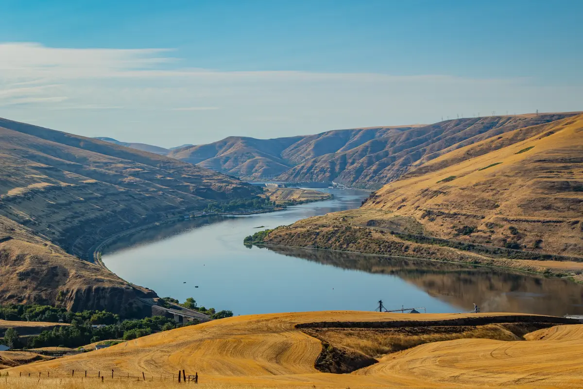
Local Expert Takeaway: Yakima's outdoor system is better than it looks on a map and more honest about its limitations than most city promotional materials. The Greenway is real infrastructure — not a short loop that dead-ends at a parking lot — and Cowiche Canyon's 60-mile trail network puts legitimate backcountry-adjacent hiking six miles from downtown. The catch is the summer heat: if you move here expecting to hike at noon in July the way you did in Portland or Bellingham, you'll be disappointed fast. Adjust the clock — trail shoes on by 7 a.m. in summer, canyon wildflowers in April, hop-harvest walks in October — and Yakima's outdoor life holds up well. The Yakima Greenway Foundation's 2025 Master Plan signals that the trail corridor is getting investment attention, which is encouraging, but current users should calibrate expectations for a system in the process of refreshing rather than one that's already finished.
Quick Takeaways & FAQs
✅ The Cowiche Canyon Conservancy manages over 60 miles of non-motorized trail just six miles northwest of downtown — one of the most underrated trail networks of any city this size in Washington.
⚠️ Summer heat is a real constraint: temperatures regularly exceed 90°F, which pushes trail use to early mornings and means the outdoor calendar here runs on a different clock than the west side of the Cascades.
📍 The Yakima Greenway trail passes directly through the Arboretum grounds and connects via a side trail to Sarg Hubbard Park, so it's possible to fish Park Lake, walk the Arboretum's Japanese garden, and bike the river corridor without moving your car.
How long is the Yakima Greenway trail?
Can you fish at Yakima's city parks?
Is the Cowiche Canyon trail good for beginners?
What is the best time of year to visit Yakima's parks and trails?
Is the Yakima Area Arboretum worth visiting, and does it cost anything?
Moving to Washington?
Tell us what you need help with and we'll connect you with local resources.
