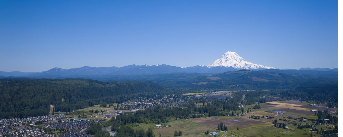
Most people researching Orting find the crime numbers and feel immediate relief — and they should. A violent crime rate of 1 per 1,000 residents and a property crime rate of 8 per 1,000 put this small Puyallup River Valley city well ahead of most of Western Washington on conventional safety measures. What the spreadsheet doesn't tell you is that Orting sits inside Mount Rainier's lahar hazard zone, and that geological reality shapes daily life in ways that no crime index has ever measured. Understanding both dimensions — the reassuringly low crime picture and the genuinely unusual volcanic hazard — is what this guide is for.
Orting is a city of roughly 8,955 people tucked between Puyallup, Sumner, and Buckley along State Route 162, about 35 minutes southeast of Tacoma. The Washington Soldiers Home and Pierce County government anchor the local institutional presence. Families with school-age children make up a large share of the population, drawn by the valley setting, the Foothills Trail running through town, and home prices that remain meaningfully below what the broader South Puget Sound corridor commands.
The median household income in Orting is $132,877, which tells you something about who has settled here: it's not a distressed community. That economic stability tends to correlate with lower crime, and Orting's numbers bear that out. Washington State ranked third worst in the nation for property crime in 2024 — 24.67 per 1,000 residents — yet Orting's rate sits at 8 per 1,000, well below that statewide figure. Violent crime in Orting, at 1 per 1,000, is a fraction of the state's rate of 3.26 per 1,000.
Whether you're considering a move or just researching the area, the sections below break down Orting's crime statistics in context, explain where different neighborhoods fall on the safety spectrum, walk through the lahar hazard honestly, and give you the practical steps to evaluate safety before settling on a specific street.
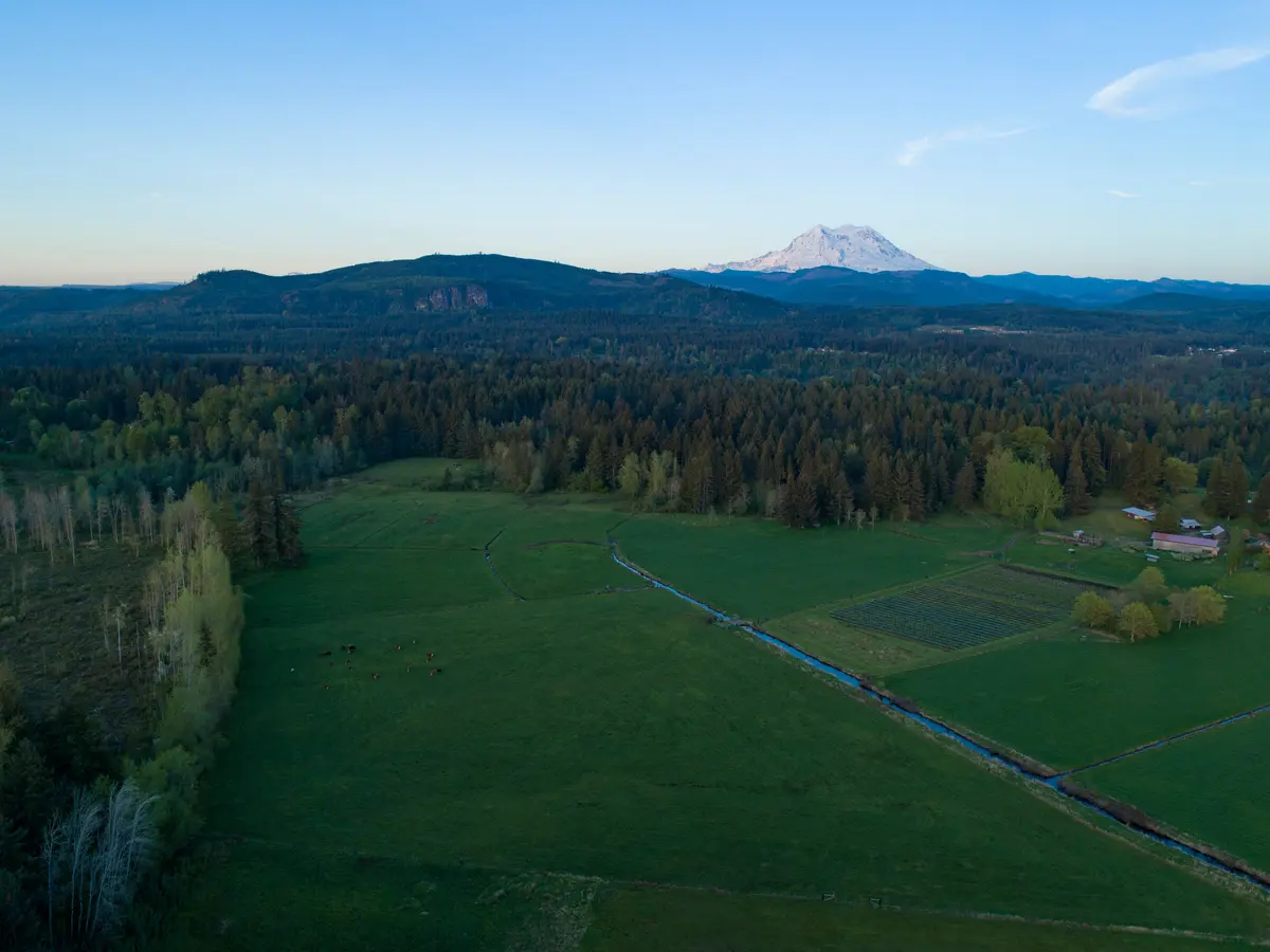
Orting Crime Rates vs. State and National Averages
The headline figure is worth stating plainly: Orting's violent crime rate of 1 per 1,000 residents is roughly one-third of Washington State's 2024 rate of 3.26 per 1,000, and roughly one-quarter of the national rate of 3.59 per 1,000 (FBI data, released September 2025). On violent crime alone, Orting sits among the safer small cities in the state.
Property crime tells a similar story, especially given Washington's broader struggles. The state ranked third worst in the nation for property crime in 2024, at 24.67 incidents per 1,000 residents. Orting's rate of 8 per 1,000 is dramatically lower than that figure — and also lower than the national rate of 17.60 per 1,000. For a small city in a state with a well-documented property crime problem, that gap is significant.
| Geography | Violent Crime (per 1,000) | Property Crime (per 1,000) |
|---|---|---|
| Orting, WA | 1.0 | 8.0 |
| Washington State (2024) | 3.26 | 24.67 |
| United States (2024) | 3.59 | 17.60 |
| WA State combined daily rate vs. Orting | ~2.31× higher than Orting | |
| National combined rate vs. Orting | ~1.75× higher than Orting | |
| WA State property crime national rank | 3rd worst in the nation | |
Source: FBI crime data (2024 calendar year), released September 2025 via AreaVibes and USAFacts.
There's also a cost-of-crime dimension that's easy to overlook. CrimeGrade.org estimates the annual cost of crime per resident in Orting at $143 — noticeably below both the national average and Washington State's average. That gap reflects how infrequently residents here encounter crime directly.
Washington State's overall crime rate did fall 14.1% from 2023 to 2024, with property crimes down 13.4% and violent crimes down 7.6%, according to the Washington Association of Sheriffs and Police Chiefs (WASPC) 2024 annual report. Orting was already performing well before that statewide improvement — the trend is moving in the right direction at both the city and state level.
How Orting's Neighborhoods Compare on Safety
Orting is a small enough city that dramatic neighborhood-to-neighborhood crime swings are not the story here — this isn't a situation where one district skews the citywide average. That said, where you land in the valley does carry real safety implications, though the dominant factor isn't street-level crime.
The neighborhoods that sit on higher ground — see the full neighborhood breakdown for character and price context — carry a practical safety advantage when it comes to lahar evacuation routes. White Hawk, The Buttes, and Majestic View Estates occupy the elevated ridge lines and hillside positions above town. High Cedars Golf Course sits on slightly elevated terrain relative to the valley floor. These positions matter in the context of Orting's volcanic hazard, covered in detail in the next section.
Downtown Orting and River's Edge sit closest to the Puyallup River and the valley floor. The Washington Avenue corridor through downtown is active and walkable, with the kind of foot traffic and community presence that tends to keep petty crime low. River's Edge, as the name suggests, has the most direct exposure to floodplain geography.
| Neighborhood | Relative Elevation | Proximity to Puyallup River | Evacuation Route Access |
|---|---|---|---|
| White Hawk | Higher ground | Farther | Good |
| The Buttes | Higher ground | Farther | Good |
| Majestic View Estates | Higher ground | Farther | Good |
| High Cedars Golf Course | Moderate elevation | Moderate distance | Adequate |
| Morningview Estates | Moderate elevation | Moderate distance | Adequate |
| Village Green | Valley floor | Moderate | Requires planning |
| Downtown Orting | Valley floor | Close | Requires planning |
| River's Edge | Valley floor | Closest | Requires planning |
For conventional crime concerns, no neighborhood in Orting stands out as a problem area — the citywide numbers are low enough that this isn't a meaningful differentiator. The elevation question is where neighborhood choice genuinely matters here.
Approximately 10 police officers serve Orting's population of just under 9,000, according to 2024 FBI-sourced data. For a city this size, that staffing level is consistent with comparable Washington towns; the low crime rate suggests the demand on those officers is relatively modest.
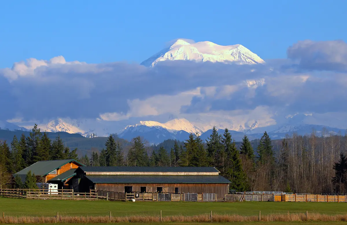
The Lahar Hazard: What Every Orting Resident Needs to Know
No honest safety guide to Orting can skip this. The city sits in the Puyallup River Valley directly downstream from Mount Rainier — the most glaciated peak in the contiguous United States — and that position puts it inside the lahar hazard zone. A lahar is a fast-moving flow of water, mud, rock, and debris that originates on a volcano, either during an eruption or as a result of a volcanic landslide. The Puyallup River corridor is one of the primary pathways such a flow would take.
This is not a theoretical footnote. The U.S. Geological Survey has identified Orting as one of the communities at greatest risk in the event of a significant Rainier event, and the city has structured its emergency management around that reality. Community institutions here have been conducting lahar evacuation drills since the early 1990s.
The scale of the preparedness effort is genuinely striking. In March 2024, a regional drill involving more than 45,000 participants was recognized by the USGS as the world's largest lahar evacuation drill. On April 23, 2026, a full-scale exercise involving participants from more than 50 facilities across Orting and neighboring communities took place — coordinated by the East Pierce Interlocal Coalition (EPIC) Emergency Management Team. These aren't fire-drill-level exercises; they involve actual walking evacuation routes up the hillside.
What the City's Official Guidance Says
The City of Orting's emergency preparedness guidance is specific: know your fastest evacuation route before you need it, and do not go to community gathering points in the valley during a lahar event — those routes will already be in use. The plan assumes residents can get out quickly, which is why elevation matters when choosing where to live.
One thing newcomers consistently underestimate: the evacuation window. Orting has limited road access out of the valley, and the city's emergency planning is explicit that timing matters. If you move here — particularly to a valley-floor neighborhood — understanding your household's evacuation route and having a plan is not optional preparedness theater. It's what locals here take seriously.
Keeping It in Perspective
Mount Rainier is a dormant but potentially active volcano. Scientists monitor it continuously, and there is no current elevated alert status. Many geologists describe a major lahar event as a low-probability, high-consequence scenario. Tens of thousands of people live in the valley, and the organized community response to this hazard is arguably more rigorous than what most American cities have for any natural disaster risk they face. The preparedness infrastructure is real — and it functions because the community treats it seriously, not because an event is considered imminent.
Looking to buy in Orting? Estimate your payment.
Enter your numbers to see an estimated monthly mortgage payment.
Estimate only. Excludes HOA fees and mortgage insurance. The interest rate above is a starting point, not a quoted rate — replace it with your own to see real numbers. Insurance is a flat placeholder, not a Orting quote.
Safety Trends and What the Numbers Don't Show
Crime statistics capture what gets reported and what gets counted. In a small, economically stable community like Orting, there are a few things worth understanding about what the numbers reflect — and what they don't.
Washington State's violent crime fell 7.6% from 2023 to 2024, and property crime dropped 13.4%, according to the WASPC 2024 annual report. Orting was already performing well before that statewide improvement kicked in. The direction of travel at both levels is positive.
Six months after moving here, some residents say they were surprised by how genuinely quiet the nights are — not just statistically quiet, but quiet in the way that small valley towns with a strong community identity tend to be. The Foothills Trail runs through the middle of town, Central Park hosts the Daffodil Parade route each spring, and Washington Avenue has the informal social infrastructure of a place where people actually know each other. That social cohesion is part of why crime stays low; it's hard to quantify but easy to notice.
The Washington Avenue viewpoint toward Mount Rainier is one of those places where the city's dual reality becomes oddly tangible — the mountain that makes Orting's setting spectacular is also the source of its most distinctive hazard. That's not a reason to avoid the city; it's the specific trade-off Orting asks you to make consciously.
What to Watch For
Property crime in small cities often correlates with access — roads that bring transient traffic, proximity to highway interchanges, or commercial corridors. Orting's position at the end of State Route 162, rather than on a through-route, limits that exposure. The downtown corridor on Washington Avenue S sees the most activity, which is typically a net positive for informal eyes-on-the-street safety.
The one honest caveat: Orting is a small city, and its crime statistics are based on a small population. A handful of incidents in either direction can move the per-thousand rate more than the same events would in a larger city. Year-to-year fluctuation is normal; the multi-year trend matters more than any single year's number.
Practical Steps for Evaluating Safety Before You Move
The crime numbers give you a strong baseline, but there are specific things worth doing before settling on a particular neighborhood in Orting — especially given that the lahar hazard adds a dimension that standard crime research doesn't address.
Check the Lahar Zone Maps
The USGS publishes lahar inundation maps for the Puyallup River Valley. Before deciding on a specific street, pull up those maps and locate the property relative to the hazard zone boundaries. Higher-elevation streets in neighborhoods like White Hawk or The Buttes are positioned differently than valley-floor addresses near River's Edge or Downtown. This is public information and takes about five minutes to check; it should be part of any serious neighborhood evaluation in Orting.
Drive the Evacuation Route
The City of Orting's official guidance directs residents to know their fastest evacuation route. Drive it from any address you're seriously considering — ideally more than once. Note the distance to higher ground, whether the route passes through any bottlenecks, and how quickly you could realistically leave at different times of day. This is the kind of local knowledge that long-time Orting residents have internalized; newcomers need to build it deliberately.
Connect with Local Emergency Management
The East Pierce Interlocal Coalition (EPIC) coordinates regional exercises and publishes preparedness information for the broader Orting area. For households without children in local programs, plugging into the city's emergency management communications is worth doing early — EPIC publishes preparedness guidance independently and maintains resources that make the lahar hazard concrete rather than abstract.
Use Multiple Crime Data Sources
CrimeGrade.org and AreaVibes both draw on FBI-sourced data and show Orting performing well on conventional crime measures. For a more granular neighborhood picture, the Pierce County Sheriff's Department and the Orting Police Department both maintain public-facing resources. No single source captures everything, but cross-referencing two or three gives you a reliable read on where the numbers have been trending.
The bottom line is that Orting's conventional crime picture is genuinely good — among the better profiles you'll find in Pierce County. The lahar question requires a different kind of research, one that's more about logistics and preparedness than about crime data. Do both, and you'll have an accurate picture of what life here actually looks like.
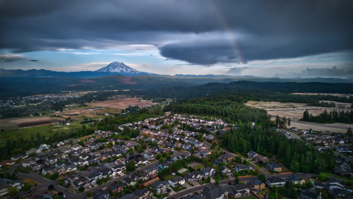
Local Expert Takeaway: Orting's crime statistics are legitimately reassuring — a violent crime rate of 1 per 1,000 and a property crime rate of 8 per 1,000 put it well ahead of most of Washington State, which ranked third worst nationally for property crime in 2024. The community around Washington Avenue S, the Foothills Trail corridor, and the established hillside neighborhoods reflects the stability those numbers suggest. The honest complication is the lahar hazard, which Orting takes more seriously than almost any other American city takes its equivalent natural disaster risk: drills involving more than 45,000 participants, evacuation routes mapped and walked annually, and city guidance that tells residents explicitly to evacuate uphill without delay. Before settling on a specific address, check the USGS lahar inundation maps and drive your household's evacuation route from that street. That five-minute exercise is what separates an informed Orting resident from a surprised one.
Quick Takeaways & FAQs
✅ Orting's violent crime rate of 1 per 1,000 is roughly one-third of Washington State's 2024 average and about one-quarter of the national rate — a genuine safety advantage for a city in the South Puget Sound region.
⚠️ Orting sits in Mount Rainier's lahar hazard zone, and the city's emergency management infrastructure — including the world's largest lahar evacuation drill — exists because this risk is real and requires active household planning, not just awareness.
📍 Neighborhoods at higher elevations like White Hawk and The Buttes sit differently on the lahar inundation maps than valley-floor addresses near River's Edge — checking the USGS maps for a specific street before deciding on a neighborhood is the most important local safety research step most newcomers skip.
Is Orting, WA a safe place to live?
What is Orting's crime rate compared to the rest of Washington State?
How serious is the lahar hazard in Orting?
Are some Orting neighborhoods safer than others from a lahar perspective?
How should I research safety before choosing a specific street in Orting?
Moving to Washington?
Tell us what you need help with and we'll connect you with local resources.
