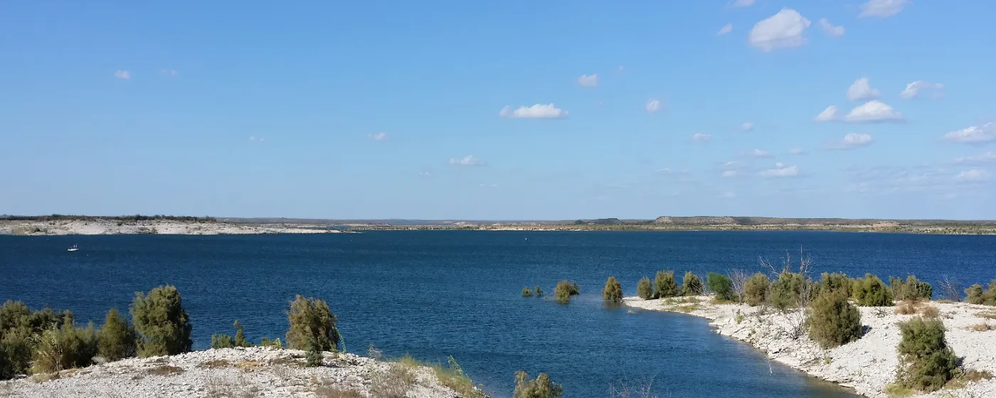
Most cities of 34,496 people don't have a national recreation area on their doorstep. Del Rio does. Amistad National Recreation Area sits just northwest of town off US-90, and once you understand that, the rest of the city's outdoor identity makes sense. This isn't a place where you commute into recreation on a Saturday — you live inside it. The lake, the springs, and the creek-side parks aren't weekend destinations for most residents; they're the backdrop to an ordinary Tuesday.
The draw isn't just scale, though Lake Amistad's 65,000 acres of surface water and more than 850 miles of shoreline would be enough on their own. It's the variety. Anglers, scuba divers, kayakers, birders, and hikers all use the same body of water and surrounding land for completely different reasons. And within city limits, San Felipe Springs feeds a spring-fed creek system that doubles as the city's own front-yard swimming hole — no drive required.
Del Rio gets 226 sunny days a year, and that number matters here more than in almost any other Texas city of similar size. Spring-fed water stays cool even in July. The lake is swimmable year-round. The outdoor calendar doesn't compress into a ten-week window the way it does somewhere with hard winters or relentless humidity. If outdoor access is part of your calculation for where to live, Del Rio's case is genuinely unusual for a city at this price point — the typical home price sits at $208,595 as of July 2026, well below what you'd pay for similar lake access in the Hill Country.
Whether you're considering a move or already in the process, the sections below cover Del Rio's signature parks and water, the in-town trail and creek system, seasonal recreation and wildlife, and what's being added for the next phase of outdoor infrastructure.
Lake Amistad and Amistad National Recreation Area
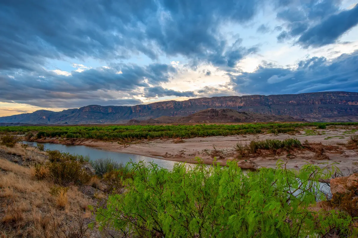
The numbers alone are hard to absorb. Amistad National Recreation Area covers 58,500 acres and sits at the confluence of three rivers: the Rio Grande, the Devils River, and the Pecos River. The reservoir it contains — Lake Amistad — stretches across more than 65,000 acres of surface water with over 850 miles of shoreline. For context, that's one of the largest reservoirs in all of Texas, managed cooperatively as an international water body between the United States and Mexico.
For anyone moving here from a landlocked suburb, the access is almost disorienting. You can launch a boat within minutes of a standard Del Rio address and be fishing open water or pulling into a cove with no other boats in sight. That's not marketing language — it's a function of how much shoreline exists relative to the population using it.
What the Water Supports
The recreation menu at Amistad is genuinely wide. Fishing, boating, kayaking, water skiing, swimming, and scuba diving are all active uses. The scuba diving in particular stands out: Lake Amistad's water is unusually clear by Texas standards, and the lake floor contains submerged rock formations and underwater caves that draw divers from across the region.
On the fishing side, Amistad is recognized as one of the best bass lakes in Texas. The lake holds both largemouth and smallmouth bass in solid numbers — a rarity — and hosts nationally televised fishing tournaments each year. If you fish, this is the kind of resource that typically costs considerably more to live near.
Beyond the Water
Land-based recreation inside the recreation area includes hiking, camping, and picnicking across a landscape of Chihuahuan Desert scrub, canyon walls, and river breaks. For something harder to find anywhere else in North America, Amistad protects some of the densest concentrations of Archaic rock art on the continent. The pictographs at Panther Cave and Parida Cave date back roughly 4,000 years and are reachable by boat, placing them in a category of their own as a recreational and cultural destination.
| Activity | Setting | Notes |
|---|---|---|
| Bass fishing | Open lake, coves, rocky structure | Both largemouth and smallmouth; hosts nationally televised tournaments |
| Scuba diving | Submerged rock formations, underwater caves | Unusually clear water for a Texas reservoir |
| Kayaking / boating | 850+ miles of shoreline | Year-round access; multiple launch points |
| Water skiing / swimming | Open water | Year-round; spring-fed inflows keep conditions favorable |
| Hiking / camping | Desert scrub, canyon terrain | Designated areas; primitive and developed sites |
| Rock art tours | Panther Cave, Parida Cave | Accessible by boat; 4,000-year-old pictographs |
| Birding | Transition zone habitat | Zone-tailed hawk, green kingfisher, golden-cheeked warbler, and more |
One thing newcomers often miss: Amistad is not a day-use-only destination. Camping is available, and a growing number of residents use the recreation area the way others use a neighborhood park — frequently and without much planning.
San Felipe Springs and the Creek-Side Park System
If Lake Amistad is the headline, San Felipe Springs is the daily life. The springs are among the largest in Texas — roughly ten individual spring openings spread across about a mile — and they feed San Felipe Creek with clear, cool water that runs through the heart of Del Rio before eventually joining the Rio Grande. Practically speaking, this means Del Rio has a spring-fed swimming creek running through its city parks, which is the kind of thing most Texas cities simply don't have.
The Parks Along the Creek
The city maintains several parks strung along San Felipe Creek — Horseshoe Park, Lions Park, Moore Park, and Rotary Park are the main ones — and together they form an informal greenway where residents swim, float, picnic, and kayak in water that stays cool even through a Del Rio summer. During the warm months this stretch of creek is the closest thing Del Rio has to a neighborhood beach: families wade in, kids float downstream, and the grassy banks fill up on weekends.
This is also where you'll learn one of the honest quirks of outdoor life here. San Felipe Creek is genuinely beautiful and genuinely usable, but it is spring-fed and moves at the pace of a spring — which means floating it is slow, and swimming in it requires accepting that you're in a functioning waterway, not a pool. Most residents embrace that quickly. A few don't.
The Mayor Dora Alcala Hike and Bike Trail
Connecting the creek-side parks is the Mayor Dora Alcala Hike and Bike Trail, which runs along San Felipe Creek for over a mile through the city's park system. For in-town residents, this is the daily-use greenway: an on-foot or on-bike route that links the parks without putting you on a car-centric arterial. It's not a sprawling trail network — Del Rio at 34,496 people isn't building 40-mile systems — but it gives the creek corridor a coherent shape that makes it genuinely walkable as a recreational space rather than just a series of disconnected park stops.
For families considering the move, the schools page covers youth sports and organized activities in more detail. The creek-side parks are where a lot of the informal after-school and weekend recreation happens, which is worth knowing when you're thinking about which neighborhood to prioritize.
Wildlife, Birding, and Seasonal Recreation
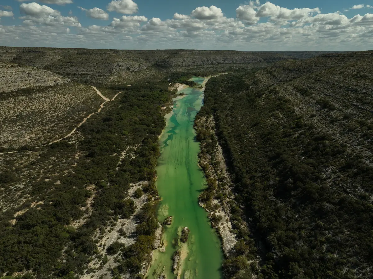
Del Rio sits in a biological transition zone — Chihuahuan Desert to the west, an elevated limestone plateau to the east, Rio Grande floodplain running through the middle — and the result is a wildlife calendar that surprises most newcomers. The outdoor story here isn't just lake access; it's what uses the same land and airspace the rest of the year.
Birding at Amistad
The Amistad area is a recognized birding destination, and the species list reflects the transition-zone habitat. Zone-tailed hawks patrol the canyon walls. Green kingfishers work the creek edges. Olive sparrows and golden-cheeked warblers move through during migration. For serious birders, the combination of desert scrub, riparian corridor, and open water in a single location is the draw — you're not driving between habitats, they're stacked on top of each other.
The Monarch Migration
Every autumn, monarch butterflies pass through Amistad National Recreation Area by the thousands during their roughly 3,000-mile migration between southern Canada and central Mexico. Nobody who hasn't seen it fully expects the scale. On a good October day at the lake, you can watch monarchs moving continuously through the canyon terrain for hours. It's the kind of seasonal event that makes Del Rio residents feel genuinely lucky to live where they do, and it's one of those things that doesn't make it into the standard relocation conversation until someone has already been here a year.
The Fiesta de Amistad
The annual Fiesta de Amistad, held each October at the Amistad Dam, marks the binational friendship between Del Rio and its sister city of Ciudad Acuña, Mexico. The event features folklorico dancing and ceremonial exchanges between officials from both cities. It's not a large regional festival in the commercial sense — it's a civic and cultural tradition that reflects how genuinely intertwined Del Rio and Acuña are as communities. For newcomers, it's often the first event that makes the border geography feel like an asset rather than a footnote.
| Season | Highlight Activity | Where |
|---|---|---|
| Spring | Creek swimming begins; bass fishing peaks | San Felipe Creek parks; Lake Amistad |
| Summer | Boating, scuba diving, kayaking | Lake Amistad; creek-side parks |
| Fall | Monarch migration; Fiesta de Amistad; birding | Amistad NRA; Amistad Dam |
| Winter | Mild hiking, fishing continues | Amistad NRA trails; open lake |
With 226 sunny days a year, the outdoor season here doesn't have a clear end date. Fishing and hiking continue through the cooler months at Amistad, and the creek-side parks stay in use well into fall.
Looking to buy in Del Rio? Estimate your payment.
Enter your numbers to see an estimated monthly mortgage payment.
Estimate only. Excludes HOA fees and mortgage insurance. The interest rate above is a starting point, not a quoted rate — replace it with your own to see real numbers. Insurance is a flat placeholder, not a Del Rio quote.
What's Being Built: The William S. Nixon Sports Complex
Del Rio's existing outdoor infrastructure is weighted heavily toward natural assets — the lake, the springs, the creek. The city's organized-sports footprint has historically been thinner, and that's something local leadership has been working to address directly.
William S. Nixon Sports Complex
The City of Del Rio broke ground on the William S. Nixon Sports Complex in the Buena Vista area as a public-private partnership. The project was funded to add tournament-grade playing fields, hike-and-bike trails, a fitness station, community gardens, and all-inclusive playscapes. The sports complex addresses something residents have noted for years: Del Rio has exceptional natural recreation but limited purpose-built facilities for organized youth and adult sports.
For families making a relocation decision, the distinction matters. The lake and the springs are here now, fully formed. The sports complex represents the direction the city is moving — and it's a signal worth reading if you're trying to gauge whether Del Rio is building toward something or standing still.
What Del Rio's Outdoor Life Actually Costs You
One underappreciated aspect of the recreation picture here: most of it is either free or low-cost. The creek-side parks charge nothing. The springs are the city's water supply and a civic amenity. Amistad National Recreation Area charges a modest entry fee, but a year's pass covers it at a flat rate. The fishing licenses and gear cost what they cost anywhere in Texas. For a city where the cost of living is already well below the state average, the outdoor access-to-cost ratio is genuinely difficult to match in a larger Texas market.
If you're comparing Del Rio against other small Texas cities on quality of outdoor life, the honest summary is this: very few cities at this price point sit beside a national recreation area with a lake this size, a spring-fed creek system running through city parks, and a wildlife corridor with this much seasonal variety. The trade-off is that Del Rio is still building the organized-sports and trail infrastructure that cities twice its size already have. That gap is being addressed — but it's real today.
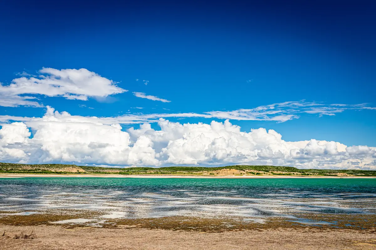
Local Expert Takeaway: Del Rio's outdoor life runs on two tracks: the big-scale stuff at Amistad National Recreation Area — bass fishing, scuba diving, rock art tours, and one of the largest reservoirs in Texas — and the everyday version along San Felipe Creek, where city parks like Horseshoe Park and Lions Park give residents a spring-fed swimming and picnicking corridor within walking distance of residential neighborhoods. The Mayor Dora Alcala Hike and Bike Trail ties it together in-town. What surprises most newcomers at the six-month mark isn't the lake — they knew about the lake — it's the monarch migration in October, the birding in the canyon terrain, and how often they end up at the creek on a Tuesday afternoon without having planned it.
Quick Takeaways & FAQs
✅ Lake Amistad's 65,000 acres and 850+ miles of shoreline make Del Rio's outdoor access extraordinary for a city of 34,496 — and unusual at any price point in Texas.
⚠️ Del Rio's organized sports infrastructure has historically been limited; the William S. Nixon Sports Complex in the Buena Vista area broke ground as a public-private partnership to begin closing that gap.
📍 San Felipe Springs, among the largest springs in Texas, feeds the city's own swimming creek — Horseshoe Park and Lions Park along San Felipe Creek are where most of the informal daily outdoor life actually happens.
Is Lake Amistad suitable for swimming and water activities year-round?
Do I need a boat to enjoy Amistad National Recreation Area?
Can my kids swim in San Felipe Creek, or is it just for adults?
What is the best time of year to visit or move to Del Rio for outdoor recreation?
Is there a trail system in Del Rio for running and biking?
Moving to Texas?
Tell us what you need help with and we'll connect you with local resources.
