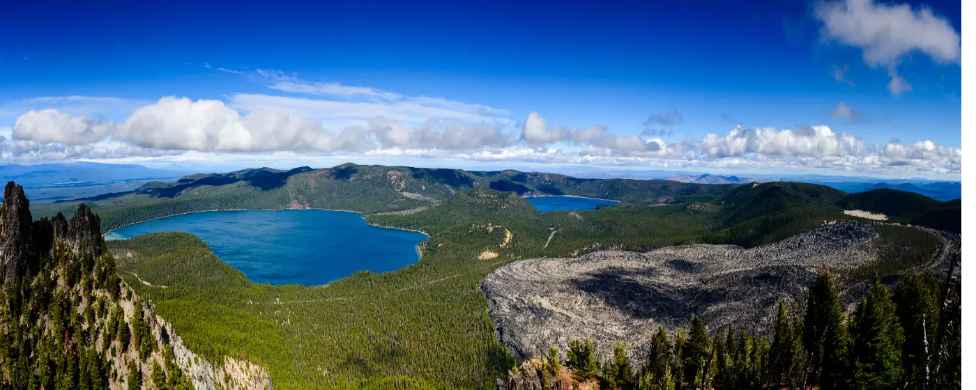
Most people who move to La Pine already know about the ponderosa pines and the high desert air. What surprises them is the scale of what's right outside the door. A city of 2,566 people sits alongside a 2,333-acre state park, has a 54,000-acre volcanic monument about 19 miles away, and counts Oregon's second-largest reservoir as a near neighbor. The outdoor access here is not incidental — it is the entire point of living in La Pine, and it shapes which buyers are drawn here and which ones end up wanting something closer to Bend.
The recreation here runs four seasons. Summer brings fishing, paddling, and swimming on the Upper Deschutes. Fall pulls hunters and birdwatchers to the meanders of the Little Deschutes River and the shores of Wickiup Reservoir. Winter opens sno-parks at Newberry National Volcanic Monument for snowshoeing, cross-country skiing, and snowmobiling. Spring arrives slowly at 4,200 feet of elevation, but when the Deschutes warms up enough for a float, residents are ready. La Pine gets 157 sunny days a year — fewer than the Central Oregon marketing materials suggest — so buyers should expect real winters, but also genuinely beautiful ones.
The honest reality is that most recreation requires a car and, for the bigger destinations, a planned trip rather than a quick errand. What you will do is drive ten minutes to a state park with 14 miles of multi-use trails, or twenty minutes to a reservoir with 60 miles of shoreline, without competing with a crowd of thousands. For buyers weighing affordability against access — the typical home price is $406,496 as of July 2026, well below the Bend metro median, per the cost of living page — the outdoor dividend here is a meaningful part of the calculation.
Whether you're relocating from a more urban market or simply curious whether La Pine's outdoor life is as good as it sounds, the sections below cover the state park and its signature trail, the water-based recreation that defines summer, Newberry National Volcanic Monument, and how the seasons shape everyday life here.
La Pine State Park: The City's Backyard in 2,333 Acres
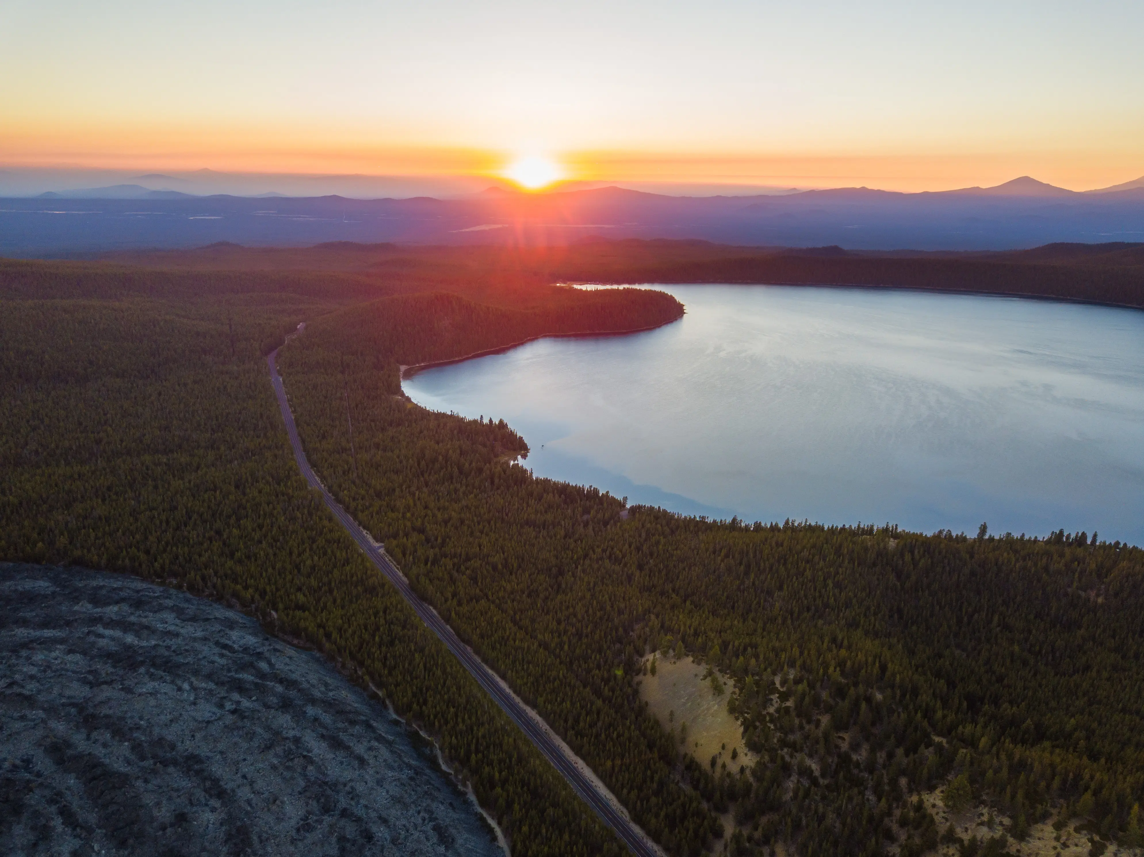
La Pine State Park is the anchor of everything. It runs along the Upper Deschutes River through a forest of old-growth ponderosa pines, covering 2,333 acres administered by the Oregon Parks and Recreation Department. For residents, it functions less like a destination and more like a large, well-maintained backyard — close enough for a weekday afternoon hike, developed enough to host family camping, and wild enough that a quiet Tuesday walk feels genuinely remote.
The Big Tree Trail — Oregon's Most Distinctive Short Hike
The park's signature draw is the Big Tree, nicknamed Big Red: Oregon's largest ponderosa pine at 162 feet tall, nearly 29 feet in circumference, and estimated to be more than 500 years old. It holds Oregon Heritage Tree status, which is not a casual designation. A short paved trail near the park entrance leads directly to it — accessible enough that anyone in the family can make it, and genuinely impressive when you arrive. Newcomers tend to underestimate it until they're standing next to it.
Beyond the Big Tree, the park's McGregor Memorial Viewpoint overlooks a broad bend in the Deschutes River and serves as the gateway to 14 miles of multi-use trails connecting the campground, day-use areas, and river corridor. The trail network suits hikers, mountain bikers, and equestrians — often on the same routes, which means yield etiquette matters more here than on dedicated single-track.
Camping, Cabins, and the Dog Area
The park offers more than 125 tent and RV campsites, with about 80 carrying full hookups. Ten log cabins and three yurts round out the overnight options — these book early in summer, particularly the cabins, and La Pine residents who want to host visiting family quickly learn to reserve them months ahead. Hot showers, flush toilets, and a fenced off-leash dog area make this a realistic option for people who camp with children or pets rather than as minimalists.
The park also features a swim beach at the Deschutes River day-use area — no lifeguard — plus seasonal hand-carry watercraft launch access, a disc golf course, and horseback riding trails. In winter, snowshoeing routes thread through the pines. The park is open year-round, which matters in a city where outdoor access is part of the daily rhythm, not a fair-weather luxury.
Best for: Families, trail runners, equestrians, campers, and anyone who wants Oregon's most impressive living ponderosa pine within a short drive of home.Water Recreation: The Deschutes, the Little Deschutes, and Wickiup Reservoir
La Pine's position between two rivers and a massive reservoir gives it a water-recreation profile that most small Central Oregon towns can't match. Each body of water has a distinct character, and residents who stay here long-term tend to develop a loyalty to one or another depending on what they're after.
Paddling the Upper Deschutes
The Deschutes River corridor through La Pine State Park is one of the more accessible paddling routes in Central Oregon. Guided full- and half-day kayak, canoe, stand-up paddleboard, and raft tours launch from within the park, following a slow current downriver past pines, wildlife, and views of the Cascades. The pace of the water is genuinely forgiving — this is not a whitewater run — which makes it a strong option for families introducing kids to paddle sports or buyers coming from places where river access means driving an hour first.
The Little Deschutes River
The Little Deschutes River, the Deschutes' southernmost principal tributary, meanders through the La Pine area with a low-gradient, forested-wetlands quality that makes it better suited to birdwatching and quiet fishing than to high-energy water sports. The river supports trout fishing and is used for boating and hunting. Residents who gravitate toward the Little Deschutes tend to be the ones who want an early morning float without seeing another person, rather than a guided group trip — the vibe is noticeably more solitary.
Wickiup Reservoir: Scale and Fishing
Wickiup Reservoir is in a different category entirely. At approximately 11,200 acres — the second-largest reservoir in Oregon — with about 60 miles of shoreline and multiple paved boat ramps, it accommodates motorized and non-motorized boats simultaneously without feeling crowded. The Bureau of Reclamation manages it, and the scale means a summer Saturday never produces the shoulder-to-shoulder pressure that smaller Central Oregon lakes can.
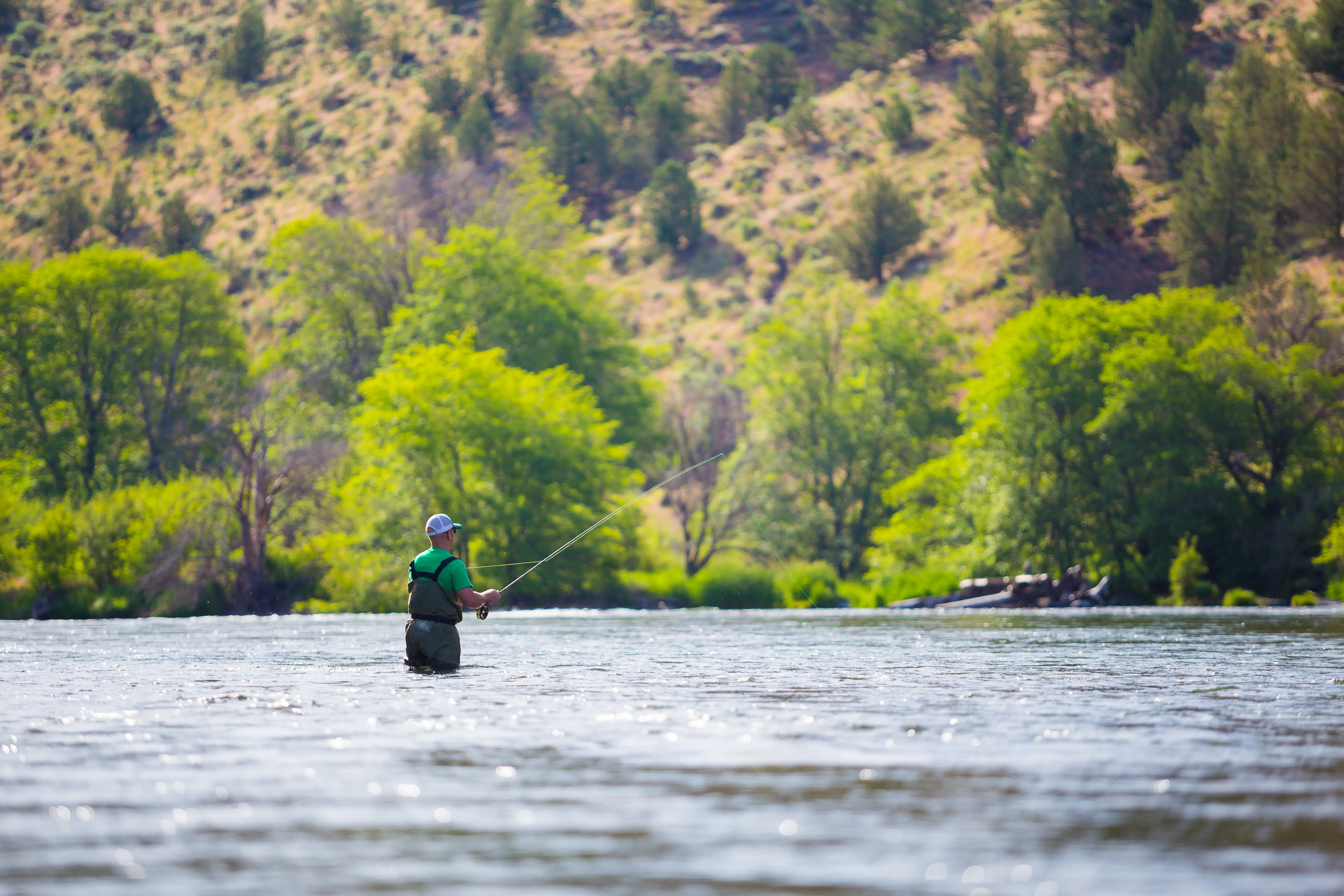
The fishing is the real draw. Wickiup is widely considered one of the finest fisheries in Central Oregon, with trophy-size brown trout, kokanee salmon, coho salmon, rainbow trout, and mountain whitefish all present. The main fishing season runs from late April through October. Anglers who move to La Pine from trout-poor markets often describe Wickiup as the thing they didn't know they'd care about — until the first time they pulled a brown trout out of it.
Wickiup also draws serious birdwatchers. The reservoir's 60 miles of shoreline attract a wide variety of nesting and migratory birds, and fall migration can be genuinely spectacular along the quieter coves. Wildlife viewing and fishing coexist here without conflict, largely because the reservoir is big enough that each group finds its corner.
| Water Destination | Primary Use | Motorized Boats | Notable Species / Feature |
|---|---|---|---|
| Upper Deschutes (State Park) | Paddling, guided tours, swimming | Hand-carry only (seasonal) | Wildlife corridor, Cascade views |
| Little Deschutes River | Trout fishing, birdwatching, quiet boating | Non-motorized | Forested wetland meanders, solitude |
| Wickiup Reservoir | Fishing, motorized boating, birdwatching | Yes — multiple paved ramps | Brown trout, kokanee, coho, rainbow trout |
Newberry National Volcanic Monument: A Geological Backyard
Nineteen miles from La Pine's town center sits a place that most Central Oregon residents treat as a bucket-list day trip — and La Pine residents treat as a regular weekend. Newberry National Volcanic Monument covers more than 54,000 acres and packs more geological drama into a single drive than almost anywhere in the Pacific Northwest.
What's Inside the Monument
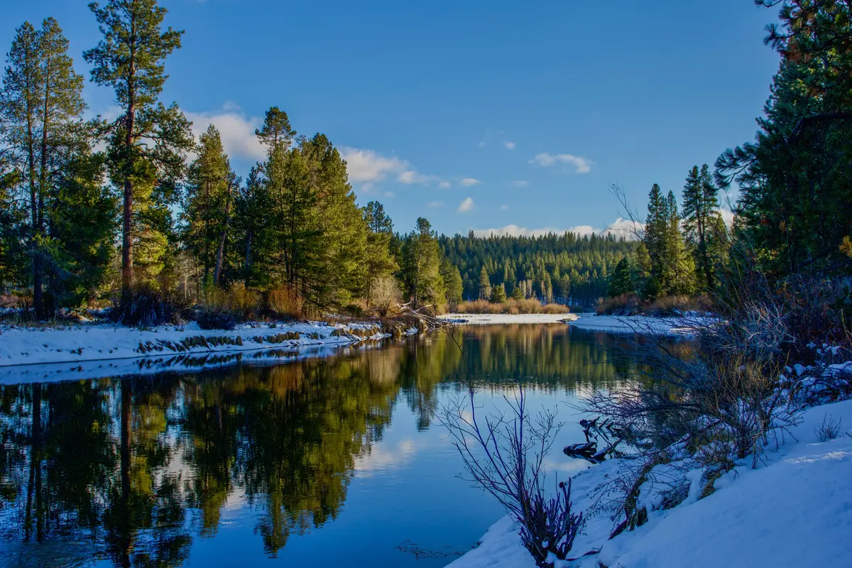
The monument's centerpiece is the Newberry Caldera, a collapsed volcanic crater holding two lakes — Paulina Lake and East Lake — surrounded by obsidian flows, cinder cones, and miles of trail. Paulina Peak, the monument's highest point at 7,984 feet, offers a summit view that takes in virtually all of Central Oregon on a clear day. Lava River Cave, Oregon's longest lava tube at approximately one mile, runs underneath the landscape and is accessible with a lantern — one of the stranger and more memorable experiences available to La Pine residents willing to wander underground on a summer afternoon.
The Big Obsidian Flow is one of the youngest lava flows in Oregon, geologically speaking, and walking across it with a trail guide is something children remember. The monument is not subtle in its ambitions — it is a place that communicates scale and deep time in a way that ordinary parks don't.
Trails, Water, and Winter Access
More than 110 miles of trails run through the monument, suited to hiking, mountain biking, and equestrian use. Paulina Lake and East Lake both support swimming, boating, and fishing. Paulina Falls — a twin waterfall dropping approximately 80 feet side by side, fed by Paulina Lake's outflow — is accessible via a short paved trail with viewpoints at both the top and bottom. The falls are the kind of thing that out-of-town visitors consistently rank as their favorite part of a La Pine trip, and residents have learned to take visiting family there without much fanfare and let the drop do the work.
Winter doesn't close the monument — it opens a different version of it. Two sno-parks provide access for snowshoeing, cross-country skiing, and snowmobiling when the upper elevations are covered. Buyers coming from the Willamette Valley, where snow recreation typically means a long drive to reach a developed ski area, find this proximity genuinely unusual. A snowshoe loop at Newberry National Volcanic Monument on a weekday morning is quiet in a way that a major ski resort's developed areas rarely are.
What Newcomers Miss
Most first-timers spend a day at the caldera and feel satisfied. What they miss is that the monument is also a seasonal rhythm — the obsidian flow in late summer, the snowshoe routes in January, the fishing opener at Paulina Lake, the wildflower timing on the upper slopes. Residents who figure this out in the first year tend to stay. Those who treat it as a single checkbox and then wonder what else La Pine offers are sometimes the ones who leave after eighteen months.
Best for: Hikers, mountain bikers, geology enthusiasts, families with curious kids, and winter recreation seekers who don't want to join a crowd.Looking to buy in La Pine? Estimate your payment.
Enter your numbers to see an estimated monthly mortgage payment.
Estimate only. Excludes HOA fees and mortgage insurance. The interest rate above is a starting point, not a quoted rate — replace it with your own to see real numbers. Insurance is a flat placeholder, not a La Pine quote.
Seasonal Recreation and What Daily Outdoor Life Actually Looks Like
Living in La Pine means building your calendar around the seasons in a way that residents of larger Oregon cities rarely do. The outdoor access is enormous, but it is not frictionless — and knowing what each season actually delivers is more useful than a general promise of year-round recreation.
Summer: Peak Access, Peak Demand
Summer in La Pine runs roughly from mid-June through early September at this elevation. The state park fills on summer weekends — campsites and cabins book weeks or months in advance, and the swim beach at the day-use area sees genuine traffic. Wickiup Reservoir is at its busiest, particularly on holiday weekends when boat traffic picks up across the full 11,200 acres. Paddling the Deschutes through the state park feels less crowded than the reservoir, which is something residents learn to lean into.
The monument's upper areas are fully accessible in summer, and the 110-mile trail network sees its highest use. One thing locals know that visitors don't: the Big Obsidian Flow's surface gets intensely hot on a clear August afternoon — a morning visit is noticeably more comfortable than an afternoon one.
Fall: The Underrated Season
Fall is what draws hunters, serious anglers, and anyone who wants the landscape largely to themselves. The Little Deschutes River corridor is especially productive for birdwatching during migration. Wickiup Reservoir's fishing season extends through October, and brown trout fishing in particular tends to improve as the water cools. The ponderosa pines don't turn the way a maple forest does, but the high desert light in September and October has a quality that La Pine residents describe with unusual consistency as the best light of the year.
Winter: Real Snow, Real Cold, Real Recreation
La Pine winters are genuine. Snow accumulates at 4,200 feet, and the Newberry sno-parks become the most accessible winter recreation option in the immediate area. Snowshoeing through the state park's ponderosa corridors is a low-barrier option that works for most fitness levels. Cross-country skiing and snowmobiling at Newberry National Volcanic Monument require more planning and gear, but the proximity is the point — residents who invest in winter recreation gear find that La Pine's winter is an asset rather than something to endure.
One friction point that catches newcomers: US-97 through La Pine can ice over quickly and without much warning, and the stretch between La Pine and Bend — about 30 minutes in normal conditions — can stretch considerably in snow. Buyers accustomed to flatter, lower-elevation driving should plan for this. The state park's trails are skiable on snowshoes when conditions are right, which makes the winter more livable than it might initially appear on a map.
Spring: Patient but Rewarding
Spring arrives late here. Snow can persist into April, and the high desert doesn't warm on the Willamette Valley's schedule. But the Deschutes comes to life in May and early June — fishing picks up, guided paddle tours resume, and the state park shifts back into full activity. Families with school-age children in the Bend-La Pine School District often structure their spring weekends around the river's condition as much as the calendar.
| Season | Primary Recreation | Key Destinations | What to Know |
|---|---|---|---|
| Summer | Paddling, swimming, fishing, hiking | La Pine State Park, Wickiup Reservoir, Newberry National Volcanic Monument | Campsites and cabins book early; reservoir is busiest on holiday weekends |
| Fall | Fishing, hunting, birdwatching, hiking | Wickiup Reservoir, Little Deschutes River, Newberry trails | Brown trout fishing peaks; migration brings birdwatchers to Wickiup |
| Winter | Snowshoeing, cross-country skiing, snowmobiling | Newberry sno-parks, La Pine State Park trails | US-97 ices; plan extra time for the Bend drive in snow |
| Spring | Fishing, paddling, hiking | Deschutes River corridor, state park trails | Late snowmelt; access improves through May and June |
Local Expert Takeaway: La Pine's outdoor access is genuine and genuinely large — a 2,333-acre state park with Oregon's oldest ponderosa pine, a volcanic monument with 110 miles of trails, and the state's second-largest reservoir all within a short drive. What separates people who love living here from those who leave is whether they actually use it across all four seasons. The Big Tree trail is worth seeing in your first week; Wickiup in October for brown trout, Newberry's sno-parks in January, and the Deschutes paddling corridor in June are what keep residents from listing their house after eighteen months.
Quick Takeaways & FAQs
✅ La Pine sits alongside La Pine State Park's 2,333 acres and is less than 20 miles from Newberry National Volcanic Monument's 54,000 acres — an outdoor access ratio that very few Oregon towns at this price point can match.
⚠️ Most recreation here requires a drive — reaching the state park, the reservoir, or the volcanic monument means getting in the car, so buyers who want to step outside and immediately be on a trail should look carefully at specific lot locations before committing.
📍 The Big Tree (Big Red) in La Pine State Park is Oregon's largest ponderosa pine — 162 feet tall, nearly 29 feet around, and more than 500 years old — and it is on a short paved trail that anyone in the family can reach.
Is La Pine State Park worth visiting year-round, or mainly in summer?
How good is fishing at Wickiup Reservoir?
What is Newberry National Volcanic Monument, and how far is it from La Pine?
Can you paddle the Deschutes River near La Pine without a lot of experience?
What outdoor recreation is available in La Pine during winter?
Moving to Oregon?
Tell us what you need help with and we'll connect you with local resources.
