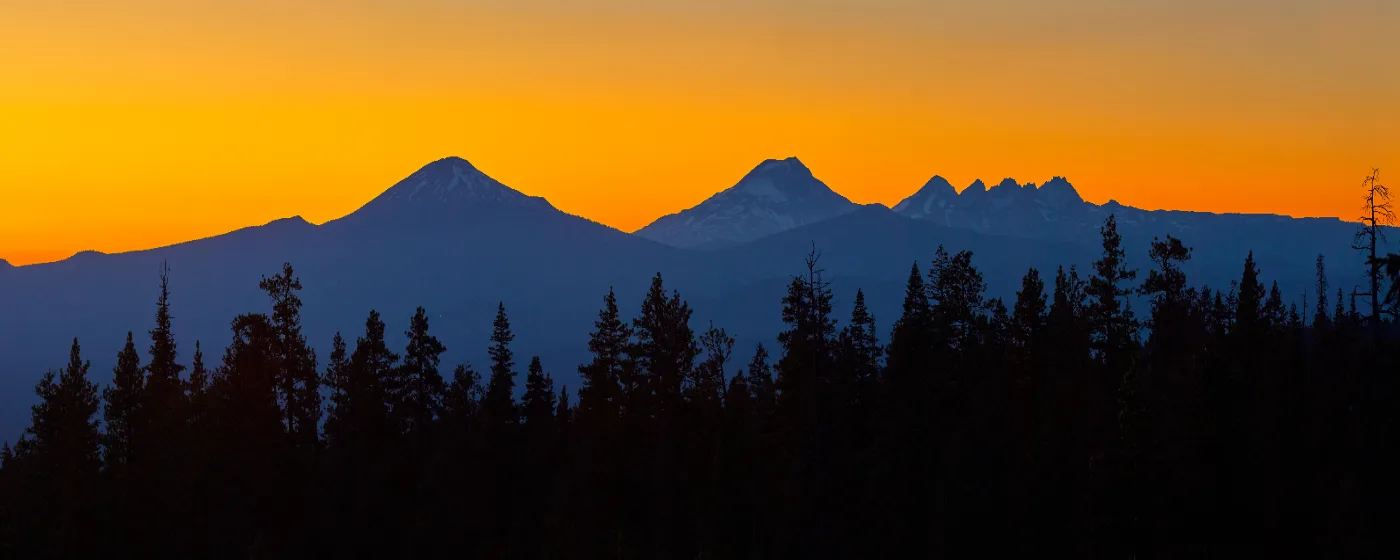
You can hike a volcano before work, float a river at lunch, and mountain bike through a national forest before dinner — all without leaving the metro area. That is the daily reality Bend's 106,926 residents have built their routines around, and it is the first thing newcomers notice after the altitude. Bend sits at roughly 3,600 feet in the high desert east of the Cascades, where 162 sunny days a year and a river running through the center of the city create an outdoor infrastructure that competes with places three times its size.
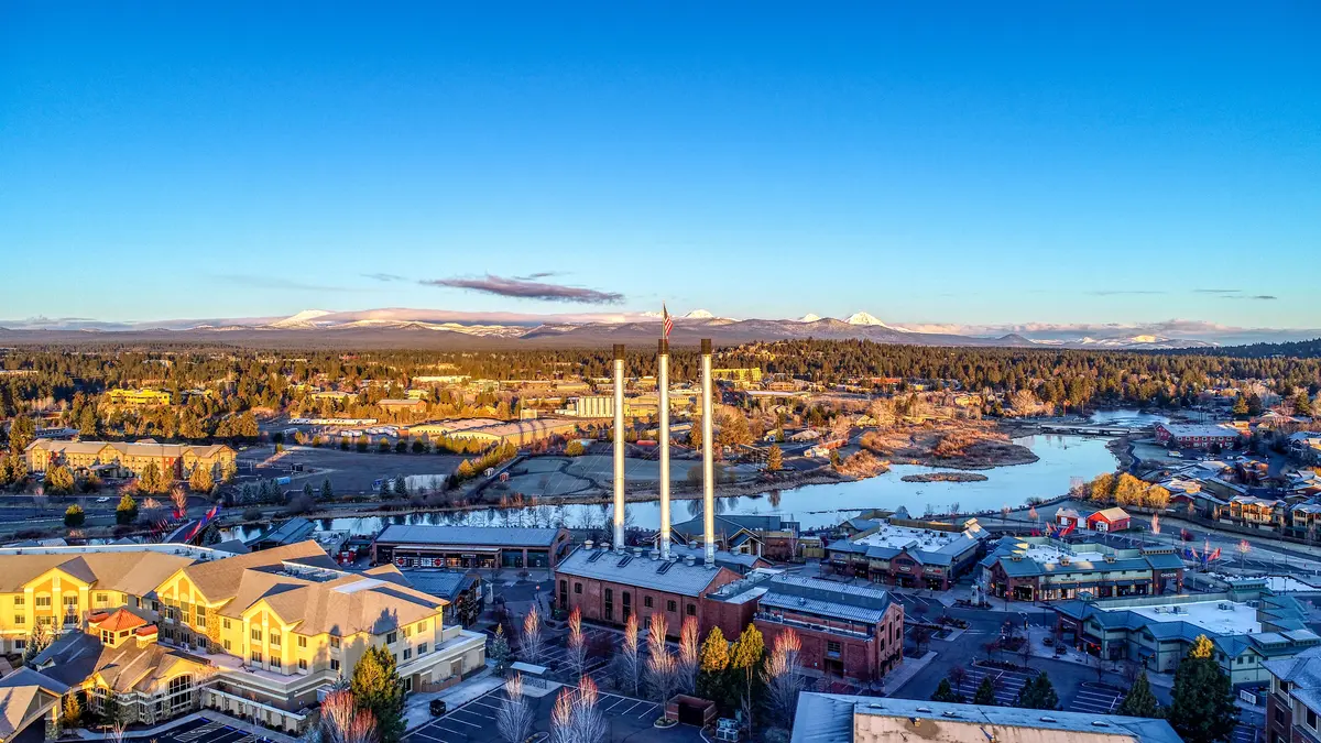
The Bend Park & Recreation District manages the city's in-town parks and multi-use trails, while the Deschutes National Forest extends the playground immediately west of the city limits. The practical result: you do not need to plan a weekend trip to access serious terrain. Phil's Trail Complex is a few miles from downtown. The Deschutes River Trail links neighborhoods to the Old Mill District on foot or bike. Pilot Butte rises from within city limits and tops out with a view of every major Cascade peak from Mount Hood to Diamond Peak.
The honest caveat is crowding. Bend's outdoor reputation is not a secret, and the trails closest to downtown — the Deschutes River Trail, Shevlin Park, Phil's — absorb both residents and a steady flow of visitors. Weekend mornings at popular trailheads can feel more like a parking problem than a wilderness escape. The deep inventory helps: the trail network is wide enough that finding a quieter line is usually possible if you know where to look.
Whether you are evaluating the move for outdoor access specifically, or trying to understand how recreation shapes daily life here, the sections below cover Bend's signature parks, its river and water recreation, the trail networks for every skill level, and what the mountain means for residents across all four seasons.
Pilot Butte and Drake Park: The City's Two Anchors
Every city has a landmark that earns its way onto the mental map. Bend has two that actually get used — not as backdrops, but as daily destinations.
Pilot Butte State Scenic Viewpoint
Pilot Butte is a roughly 190,000-year-old extinct cinder cone rising 480 feet above the surrounding terrain to a summit elevation of 4,142 feet, sitting just east of downtown. Three trails wind through juniper and sage to the top, covering approximately 1.8 miles with 456 feet of elevation gain on the standard loop. The park is free, open year-round for trail access, and the summit delivers a panoramic line of Cascade peaks — the Three Sisters, Broken Top, Mt. Bachelor, Mt. Jefferson, and Mt. Hood — that never quite stops being impressive, even to people who run it twice a week.
What makes Pilot Butte genuinely useful rather than merely scenic: it is a workout, a sunrise spot, a lunch break, and a compass all at once. Newcomers who haven't found their bearings in the city often do it from up top. The catch is the lack of drinking water on site, which matters more than it sounds when the high desert sun is out. Bring a full bottle.
Drake Park and Mirror Pond
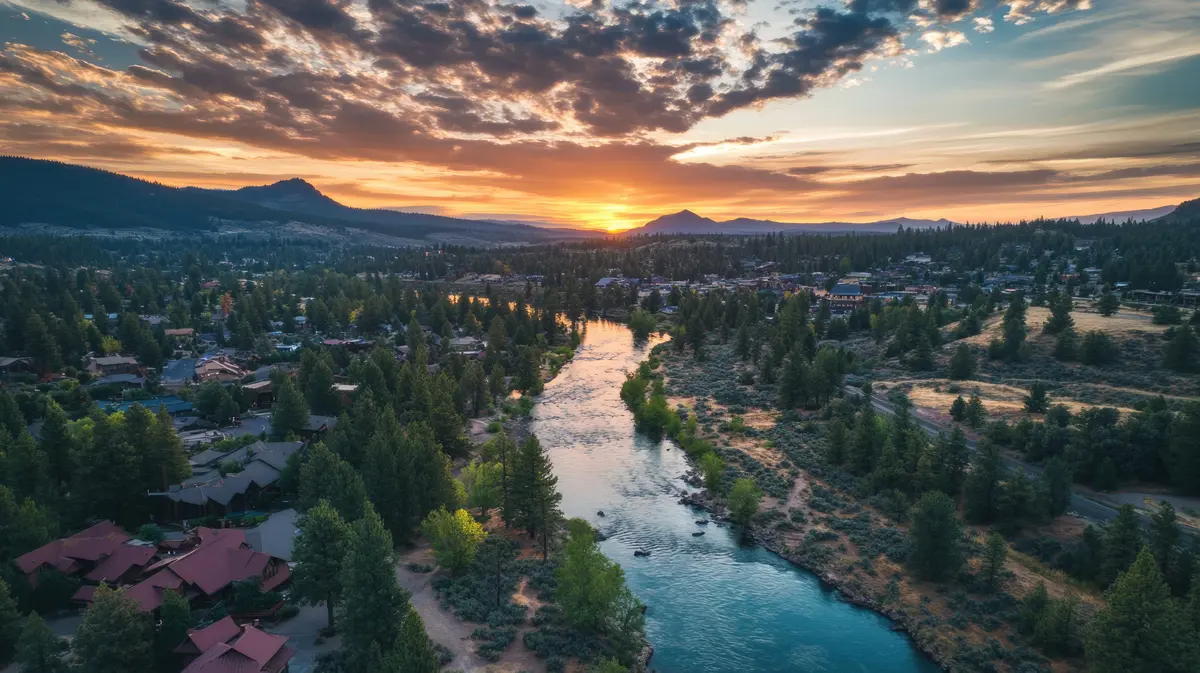
Drake Park occupies 13 acres of riverfront in downtown Bend, with nearly half a mile of frontage on Mirror Pond — a calm, widened section of the Deschutes created by a dam built in 1909. The park's combination of open lawn, an outdoor stage, a boardwalk with downcast lighting, a newly expanded beach area, and recent riverbank habitat restoration makes it the most versatile piece of city green space Bend has.
Oregon Department of Fish & Wildlife surveys have documented over 100 bird species in the Drake Park and Mirror Pond area — a number that surprises people expecting a high-desert city park to be an afterthought. The Munch & Music summer concert series and the 4th of July Pet Parade are two of the events that bring the park to life as a genuine community gathering point. In summer, Drake Park doubles as the take-out point for the Deschutes float — a Bend rite of passage that involves a tube, the river, and more sunscreen than you brought.
The Deschutes River Trail and In-Town Water Recreation
The Deschutes River Trail is the spine of Bend's outdoor life in a way no other single piece of infrastructure matches. It is not a destination hike — it is the connective tissue between neighborhoods, parks, and the river itself.
The Trail Network
The Bend Park & Recreation District manages over 12 miles of multi-use paths through the heart of the city, running from the northern edge of Bend south to just past the Old Mill District. The trail passes through ponderosa pine forests, basalt rimrock canyon formations, and riverfront corridors that shift dramatically in character over a few miles. You can start a run in a basalt canyon and finish it on a boardwalk next to coffee shops — that range is what keeps it interesting after years of use.
As of 2026, the broader Central Oregon DRT network totals 28.5 miles. A second, more remote southern section near Sunriver passes lava flows, old-growth pine forests, and waterfalls at Dillon Falls and Benham Falls, with a loop totaling about 17 miles round-trip. Multiple trailheads mean you can dial in the distance rather than committing to the full loop.
On the Water
The river itself is as much a recreation corridor as the trail beside it. The Bend Whitewater Park, adjacent to the Old Mill District, draws river surfers and kayakers to a sculpted wave feature engineered into the river channel. On calmer stretches near Drake Park, stand-up paddleboards and kayaks are a common sight on Mirror Pond's glassy surface.
Floating the Deschutes — typically in an inflatable tube — is less of an activity and more of a social institution from late spring through summer. The float ends at Drake Park, which explains the park's second life as a summer afternoon gathering place. For fishing, Shevlin Park west of downtown has a pond stocked by the Oregon Department of Fish & Wildlife for anglers 17 and under, while the Deschutes River through the city parks system holds multiple native fish species with several legitimate in-town fishing spots.
Phil's Trail Complex and the Mountain Biking Identity
Bend has been on the mountain biking map for decades. Phil's Trail Complex is why.
Situated in the Deschutes National Forest west of downtown, Phil's contains 105 trails — 104 designated for mountain biking — ranging from beginner-friendly flowing singletrack through ponderosa pine to advanced technical lines with dirt jumps, berms, and rock gardens. The longest single trail, Mrazek, stretches 12.5 miles. Trailforks, the primary database for user-verified trail networks, places this complex among the most popular in the entire Pacific Northwest — not just Oregon.
The practical reality for someone considering a move: if mountain biking is part of how you decompress, Bend delivers at a level that is genuinely hard to match. Trails are accessible from the trailhead west of the city and connect into the broader Deschutes National Forest network, which means there is always more terrain beyond what most riders get to in a session.
The honest friction point is that Phil's popularity means the parking areas at the main trailhead can be genuinely crowded on weekend mornings. Locals who ride regularly learn to arrive early or use alternative access points — that adaptation is something you will figure out in your first few months here, and most riders consider it a reasonable trade for having this kind of network within a few minutes of a city center.
For those who prefer hiking to biking, the same trail system intersects with routes into the national forest, and Shevlin Park — west of downtown along Tumalo Creek — provides a quieter, forested alternative for trail runs and walks that doesn't require navigating mountain bike traffic.
Looking to buy in Bend? Estimate your payment.
Enter your numbers to see an estimated monthly mortgage payment.
Estimate only. Excludes HOA fees and mortgage insurance. The interest rate above is a starting point, not a quoted rate — replace it with your own to see real numbers. Insurance is a flat placeholder, not a Bend quote.
Mount Bachelor and Four-Season Mountain Recreation
Mount Bachelor sits approximately 22 miles west-southwest of Bend in the Deschutes National Forest. For residents, the distance is short enough that it functions less like a destination resort and more like an extension of the city's own recreation inventory.
Winter
The ski area offers 4,323 skiable acres, 3,365 vertical feet, and 101 named runs served by 12 lifts. Average annual snowfall runs approximately 462 inches — that figure puts it in a tier above most Pacific Northwest ski areas and explains why the season reliably extends well into spring. The Nordic Center maintains 56 km of groomed cross-country ski trails and claims the longest groomed Nordic season in North America, typically running from mid-November through late May. For cross-country skiers and snowshoers, that claim is not marketing filler — it is what keeps the trails skiable when everywhere else has switched to mud season.
Summer
Bachelor's summer operation includes a lift-served bike park that has been running since 2013 — downhill mountain biking with chairlift access, which pairs well with Phil's Trail Complex lower on the mountain for riders who want a full day. The ZipTour is a three-stage dual zipline that starts at 7,800 feet elevation and descends nearly 1,400 vertical feet. That elevation provides something central Oregon's valley floor cannot: relief from summer heat, which matters in a city where July and August afternoons can be genuinely hot.
The seasonal reality newcomers underestimate: winter weekends on the mountain during a good snow year create a commute dynamic all their own. US-97 toward the mountain draws significant traffic on powder mornings, and Bend locals who ski regularly develop a rhythm around that. It is not a reason to avoid the mountain — it is a reason to plan your first few ski Saturdays before you have it figured out.
For more on how recreation connects to neighborhood choice and daily commute patterns, see the living in Bend overview. If you're weighing what the full cost of outdoor-focused life here looks like day to day, the cost of living page covers utilities, transportation, and the broader budget picture.
Local Expert Takeaway: Bend's outdoor infrastructure is deep enough that the question is never whether there is something to do — it is whether you have figured out when and where to go to avoid the crowds that come with the city's reputation. The Deschutes River Trail and Drake Park handle daily routines well. Phil's Trail Complex and Mount Bachelor are world-class by any standard. The adjustment for most newcomers is learning the rhythm: early weekday mornings at the popular trailheads, the less-trafficked southern reaches of the DRT when you want the river without the crowds, and the Nordic Center in spring when the rest of the region has given up on snow. Bend rewards people who do their homework on the trail network, not just the ones who show up on a Saturday and head to the most-pinned spot.
Quick Takeaways & FAQs
✅ Phil's Trail Complex west of downtown has 105 trails across the Deschutes National Forest — one of the most complete mountain biking networks in the Pacific Northwest, minutes from a city center.
⚠️ Popular trailheads and Mount Bachelor on powder weekends get genuinely crowded; learning the timing and the alternative access points is something most residents figure out in their first season.
📍 Pilot Butte's 1.8-mile summit loop is free, open year-round, and delivers a panoramic view of every major Cascade peak — it is the most useful orientation tool in the city for a newcomer, and locals run it regularly.
Is Pilot Butte free to hike?
How long is the Deschutes River Trail and can I bike it?
How far is Mount Bachelor from Bend, and does it have summer activities?
Is Phil's Trail Complex suitable for beginner mountain bikers?
Can you float the Deschutes River through Bend?
Moving to Oregon?
Tell us what you need help with and we'll connect you with local resources.
