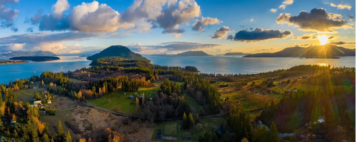
You will not find a city this size with this much functional green space very often in the Pacific Northwest — or anywhere. Bellingham's Parks & Recreation Department manages over 3,000 acres of parkland across more than 40 parks, and the Trust for Public Land puts the total at 125 parks covering 16% of the city's land area. The practical consequence: 90% of residents live within one mile of a park. That figure shapes daily life here more than people expect before they move.
What sets Bellingham apart from other Pacific Northwest cities that talk a good outdoor game is that the recreation infrastructure is genuinely integrated into the urban fabric. Whatcom Creek runs through the middle of the city. The South Bay Trail stitches Fairhaven to Boulevard Park to downtown along the water. Galbraith Mountain — a 2,182-acre trail network — sits wedged between two lakes inside city limits. You don't have to drive an hour to find good trail running or a kayak launch. Most of it starts within a few blocks of where you'd park for coffee.
The seasonal rhythm here catches newcomers off guard. The trails that feel muddy and gray in January become genuinely spectacular in May and June — and they stay good through October longer than most Seattle-area residents expect. The flip side: summer weekends at Whatcom Falls Park and Boulevard Park are genuinely crowded. By July Fourth, the parking lot on Bay View Drive fills before 10 a.m. That's not a reason to avoid either place — it's just a reason to arrive early or ride a bike.
Whether you're considering a move or just researching the area, the sections below break down Bellingham's signature parks, named trail networks, water recreation options, and what the city's newest park investments mean for different neighborhoods.
Signature Parks: Whatcom Falls, Boulevard Park, and the Waterfront
Whatcom Falls Park: The Urban Anchor
Whatcom Falls Park is the park that defines the city's recreational identity. The 241-acre site at 1401 Electric Avenue holds four sets of waterfalls on Whatcom Creek, more than five miles of trails, a fish hatchery, a children's fishing derby pond open to ages 14 and under, two playgrounds, a pump track, athletic fields, picnic shelters, and an off-leash dog area. That range — from a pump track to a working fish hatchery — tells you something about what the city's parks system thinks a neighborhood park should do.
Whatcom Creek doesn't just pass through the park; it connects Bellingham's two major water bodies. The creek drains Lake Whatcom and flows toward Bellingham Bay, and in summer a trail corridor from the park extends to Bloedel Donovan Park on the lake itself. For trail runners, that link turns a single park visit into a multi-mile point-to-point option without touching pavement.
The crowd dynamic is worth naming honestly. Weekend mornings at Whatcom Falls bring families, off-leash dogs, trail runners, and people just walking to the falls. It is not a solitude experience. If you want the waterfalls mostly to yourself, the window is weekday mornings before 9 a.m., particularly in shoulder seasons. The park's size means you can be twenty minutes into a trail loop and feel genuinely removed from the parking lot crowd.
Boulevard Park and Taylor Dock: The Bay Access Everyone Uses
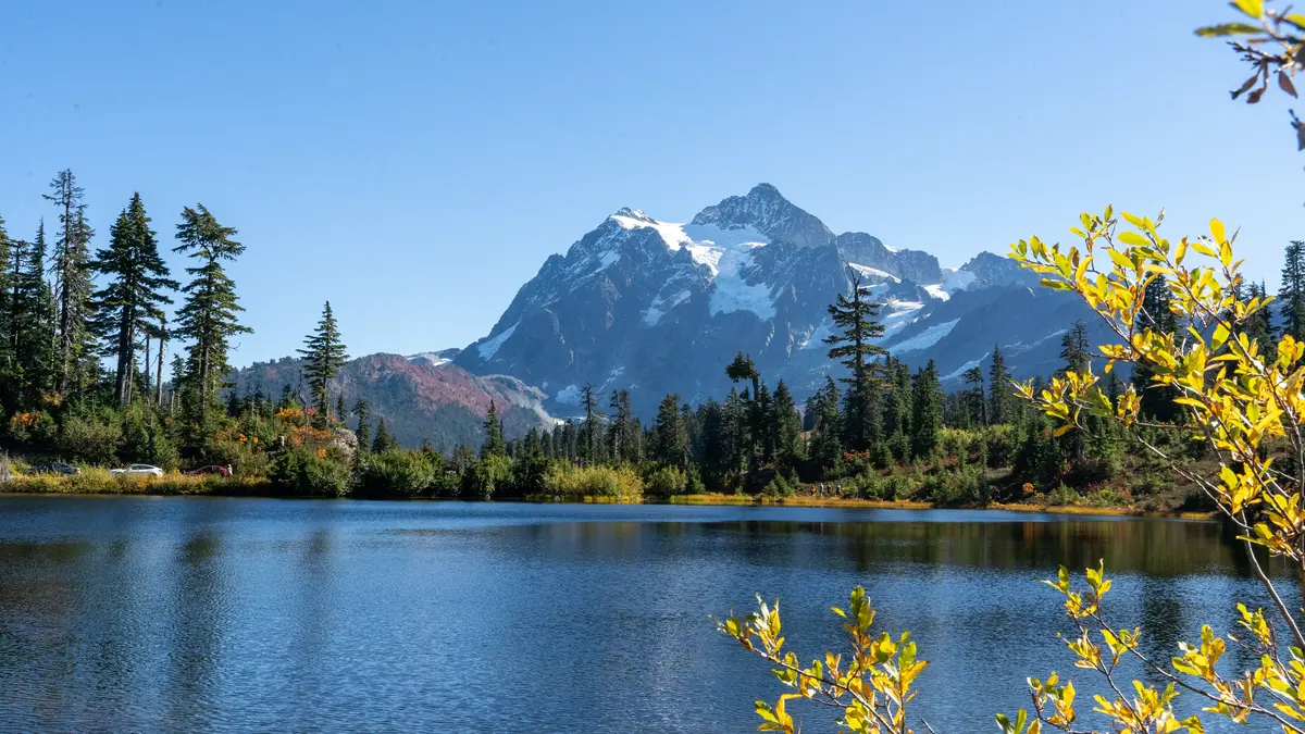
Boulevard Park, along South State Street and Bay View Drive in the South Hill neighborhood, is Bellingham's primary waterfront park — a beach, overwater boardwalks, a fishing dock, barbecue grills, a playground, and a food concession all in one place on Bellingham Bay. The views across the bay toward the San Juan Islands on a clear day are not subtle.
The real infrastructure win is the Taylor Boardwalk, a quarter-mile over-water walkway completed in 2006 that connects Boulevard Park into the South Bay Trail. That trail links north to downtown Bellingham and south to Fairhaven Village Green, with access from 10th and Mill Street in the Fairhaven Historic District. The result is one of the more usable waterfront trail corridors in the region — mostly flat, mostly separated from car traffic, connecting two distinct neighborhoods along the water.
| Park | Acreage | Key Features | Best Access |
|---|---|---|---|
| Whatcom Falls Park | 241 acres | 4 waterfalls, 5+ mi trails, pump track, fish hatchery, dog area | 1401 Electric Ave |
| Boulevard Park | Waterfront | Beach, overwater boardwalks, fishing dock, BBQ grills, playground | South State St / Bay View Dr |
| Taylor Dock / Boardwalk | ¼-mile boardwalk | Over-water walkway, South Bay Trail connector | 10th & Mill St (Fairhaven) or Boulevard Park lot |
| Lake Padden Park | 1,000+ acres | 2.6-mi lake loop, 5.1 mi singletrack, swim beach, boat launch | 4882 Samish Way |
| Cordata Park | Expanding | Spray park, nearly 1 mi trails, meadows, wildlife plantings | Cordata neighborhood, north Bellingham |
| Bloedel Donovan Park | Lakefront | Lake Whatcom swimming, boat launch, picnic areas, summer programs | 2214 Electric Ave |
Lake Padden is the park that surprises people who come expecting just a lake loop. The 2.6-mile trail around the lake is legitimately good, but the 5.1 additional miles of singletrack that branch off it give mountain bikers and trail runners a reason to make it a regular destination rather than a one-time check-the-box visit.
Trails: Galbraith Mountain, the Interurban, and What Locals Actually Run
Galbraith Mountain: The Trail System That Changes Everything
The single biggest recreational asset in Bellingham that people outside the city don't know about is Galbraith Mountain. A 2018 agreement among the City of Bellingham, Whatcom Land Trust, and Galbraith Tree Farm LLC secured public recreational use of up to 65 miles of trails on a 2,182-acre easement in perpetuity. The funding — $3 million from Greenways and Land Trust contributions — locked that access forever. For a mountain bike community, that kind of permanence is significant.
Galbraith sits between Lake Padden and Lake Whatcom, which means it is not a remote destination. You can ride from certain neighborhoods to the trailhead without loading a bike onto a car. The trail density — 65 miles in 2,182 acres — produces the kind of interconnected network where you can ride for two hours and rarely repeat a section. The skill range runs from flow trails accessible to intermediate riders to technical features that draw competitive riders from across the region.
Locals don't treat Galbraith like a special-occasion destination. They treat it like a Tuesday-after-work option. That casual relationship with serious trail infrastructure is part of what makes Bellingham's outdoor culture feel different from cities where the good stuff requires a longer drive.
The Named Trail Network: Four Routes Worth Knowing
| Trail | Distance | Character | Best For |
|---|---|---|---|
| Interurban Trail | 6 miles one-way | Former rail corridor, Fairhaven to Larrabee State Park | Nature Walkable |
| Lake Padden Loop | 2.6 mi loop + 5.1 mi singletrack | Lake loop plus MTB network, mixed surface | Nature Families |
| Railroad Trail | 3.5 miles one-way | Urban connector, relatively flat | Walkable Nature |
| North Lake Whatcom 'Hertz' Trail | 3 miles one-way | East shore of Lake Whatcom, forested, quieter | Quiet Nature |
| South Bay Trail | Varies by segment | Waterfront connector, Fairhaven to downtown | Walkable Views |
| Galbraith Mountain Network | Up to 65 miles | Dense MTB and multi-use, 2,182-acre easement | Nature Privacy |
The Interurban Trail's southern terminus at Larrabee State Park — Washington's first state park — gives it a destination payoff that the mileage number undersells. The trail follows a former rail corridor, which keeps the grade gentle enough for cycling and accessible for most fitness levels.
What people don't expect after six months here: how much trail use continues through November. The Galbraith network and the Interurban Trail drain reasonably well for the Pacific Northwest, and locals with good rain gear treat October through December as normal riding season rather than an offseason. If you're moving from a climate where fall means putting the bike away, that adjustment takes a season to fully internalize.
Water Recreation: Bellingham Bay, Lake Whatcom, and the Whatcom Water Trails
What the Bay Offers
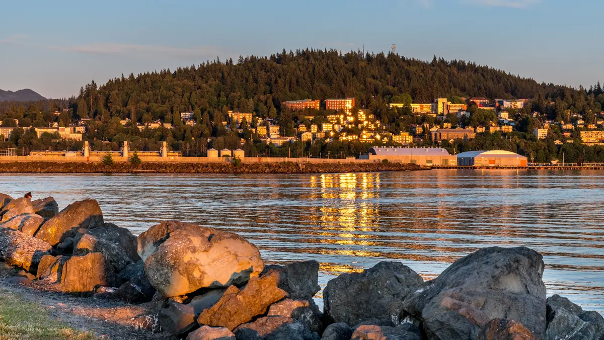
Bellingham Bay is genuinely accessible for human-powered water recreation in a way that larger Puget Sound cities are not. The Community Boating Center, based in Fairhaven on the bay, rents kayaks, sailboats, rowboats, and paddleboards to anyone age 10 and up — no membership, no prior experience required. Their guided programming includes bioluminescence paddles, kayak tours of the bay, and evening sails. The bioluminescence paddles in particular have a waiting list in summer; if that's on your list, book early.
The Port of Bellingham's Whatcom Water Trails Map identifies 22 designated water trails across Whatcom County. The coverage runs from Bellingham Bay and Lake Whatcom to Lake Samish and extends as far as Birch Bay State Park and Lighthouse Marine Park at Point Roberts — a reach that spans marine and freshwater environments within reasonable paddle-day distance of the city.
Lake Whatcom and Beyond
Lake Whatcom functions as the city's drinking water source and a significant recreational resource simultaneously — which produces real tension in how the lake is managed. Motorized boat traffic is restricted in ways that keep the lake quieter than similarly sized lakes in other markets. For kayakers and paddleboarders, that's a feature. The North Lake Whatcom Hertz Trail along the east shore gives you a forested, relatively uncrowded hiking option that pairs well with a paddle on the same visit.
The water access picture from different neighborhoods varies meaningfully. The neighborhoods guide covers how proximity to lake versus bay access shapes where families choose to buy, but the practical reality is that Bloedel Donovan Park on Lake Whatcom and Boulevard Park on the bay give most residents a choice of water type within a short drive regardless of where they live.
| Water Destination | Type | Access Point | Primary Activity |
|---|---|---|---|
| Bellingham Bay (CBC launch) | Marine / saltwater | Fairhaven, Community Boating Center | Kayak, sail, paddleboard, guided tours |
| Lake Whatcom | Freshwater lake | Bloedel Donovan Park, 2214 Electric Ave | Swimming, kayak, paddleboard, fishing |
| Lake Samish | Freshwater lake | Lake Samish County Park, off I-5 | Swimming, motorized and non-motorized boating |
| Lake Padden | Freshwater lake | 4882 Samish Way | Swimming, non-motorized boating, fishing |
| Birch Bay (water trail) | Marine / saltwater | Birch Bay State Park, north county | Kayak, paddleboard, tidal exploration |
| Point Roberts (water trail) | Marine / saltwater | Lighthouse Marine Park | Kayak touring, wildlife viewing |
Point Roberts deserves a specific mention for people new to the region: it's a geographic anomaly — a U.S. exclave accessible by land only through Canada — and the Lighthouse Marine Park paddle is genuinely unlike anything else in the water trails network. Plan it as a full-day commitment, not a casual afternoon.
Looking to buy in Bellingham? Estimate your payment.
Enter your numbers to see an estimated monthly mortgage payment.
Estimate only. Excludes HOA fees and mortgage insurance. The interest rate above is a starting point, not a quoted rate — replace it with your own to see real numbers. Insurance is a flat placeholder, not a Bellingham quote.
New Parks, Seasonal Recreation, and What's Coming
The Newest Investments in the Park System
Cordata Park in north Bellingham completed its Phase 2 expansion in June 2024, with a total project construction cost of $10.5 million funded through Park Impact Fees and the Greenways Program. The expanded park features a spray park open June 15 through September 15, nearly a mile of internal trails, bridges, meadows, and more than 15,500 plantings designed for wildlife habitat. For families with younger kids in the Cordata neighborhood, that spray park is the main summer gathering point from mid-June through early fall.
The more consequential long-term addition is the 116-acre land purchase near Barkley Village completed in late 2024. The City of Bellingham acquired the parcel from the Washington State Department of Natural Resources to develop a new park that preserves a segment of the planned Bellingham Bay to Baker Trail — a planned long-distance trail connecting the bay to Mount Baker — and a stretch of Squalicum Creek. That purchase matters for Barkley-area residents who currently have fewer trail options than other parts of the city, and it locks in a corridor that would otherwise be difficult to assemble later.
Seasonal Realities Newcomers Don't Expect
The spray park at Cordata is one piece of a broader summer pattern: Bellingham's outdoor spaces see genuinely heavy use from roughly Memorial Day through Labor Day. Whatcom Falls Park's off-leash area fills early on weekend mornings. Boulevard Park's parking along Bay View Drive reaches capacity on sunny afternoons. The parks system is large enough that crowding at the most popular destinations doesn't mean you're without options — but if you move here expecting to have a waterfall park to yourself on a July Saturday, you'll adjust that expectation quickly.
The shoulder seasons — late September through early November, and March through April — are what many longtime residents consider the best time to use the parks. Crowd levels drop substantially, the fall color on the Whatcom Falls trail network is legitimately good, and the rain is intermittent enough that most mornings are usable. Learning to read a weather window rather than waiting for a forecast guarantee is the skill that separates people who use the parks year-round from people who wait for summer.
For youth sports and organized kids' activities, the parks system supports a full slate of programming through the City of Bellingham Parks & Recreation Department, including youth camps, swim lessons at Bloedel Donovan, and seasonal leagues. Kulshan Brewing Co.'s Sunnyland taproom on James Street has become the informal decompression spot for the local outdoor community — close to Galbraith access, unpretentious, and reliably open after a long trail session.
The Bottom Line on Bellingham's Park System
The combination of scale — 3,000+ acres, 65-mile mountain bike network, 22 designated water trails — and integration into the urban grid is what separates Bellingham's outdoor infrastructure from cities that technically have parks but treat them as amenities rather than the point. If you move here and don't use the parks regularly within the first six months, you're doing something wrong.
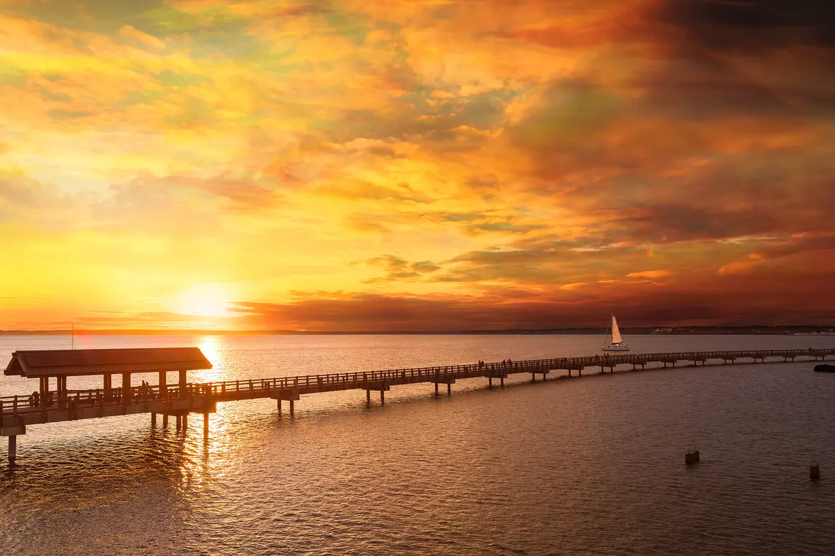
Local Expert Takeaway: Bellingham's outdoor infrastructure is not aspirational — it's operational. The Galbraith Mountain trail network's 65-mile easement is permanent, the Community Boating Center has been running guided bioluminescence paddles on the bay for years, and Whatcom Falls Park's pump track gets used on weekday afternoons by kids who live within walking distance. The parks here aren't a selling point on a brochure. They're where people actually spend their weekday evenings. The one thing to calibrate: Boulevard Park and Whatcom Falls get genuinely crowded on sunny summer weekends. Arrive before 9 a.m. or come on a Tuesday — the experience is completely different.
Quick Takeaways & FAQs
✅ Bellingham's parks cover 16% of the city's land area, with 90% of residents living within one mile of a park — a ratio that is rare in any city approaching 100,000 people.
⚠️ The most popular parks — Whatcom Falls and Boulevard Park — reach parking capacity on sunny summer weekends, and the spray park at Cordata is only open June 15 through September 15.
📍 The Galbraith Mountain trail network (up to 65 miles, permanently protected by a 2018 easement) sits between Lake Padden and Lake Whatcom inside city limits — many riders access the trailhead without loading a car.
How many parks does Bellingham have?
Can you kayak or paddleboard in Bellingham without owning equipment?
Is Galbraith Mountain good for beginner mountain bikers?
What is the South Bay Trail and where does it go?
What new parks are being developed in Bellingham?
Moving to Washington?
Tell us what you need help with and we'll connect you with local resources.
