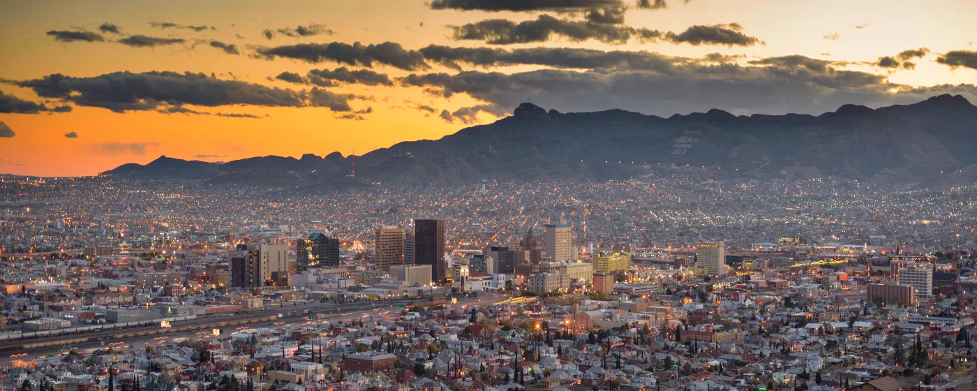
Most people moving to El Paso from greener parts of the country see photos of the desert and assume the outdoors will feel barren. Six months in, they say the opposite. The Franklin Mountains run straight through the middle of the city — not beside it, through it — and that geographic fact shapes everything about outdoor life here. You are never far from a trailhead, a canyon wall, or a ridgeline view of three states and two countries at once.
The City of El Paso Parks & Recreation Department manages over 280 city parks and holds national accreditation through the Commission for Accreditation of Park and Recreation Agencies (CAPRA), placing it among the top one percent of park agencies nationwide. That is not marketing language — it reflects a system that actually works for a city of 683,012 people spread across a wide desert landscape. From an internationally significant wetland restoration along the Rio Grande to a 400-acre county park with a fishing lake, El Paso's recreational infrastructure is more varied than its reputation suggests.
The climate is the other factor newcomers underestimate. With 297 sunny days a year, outdoor recreation here is a year-round practice, not a warm-weather hobby. Summer mornings on the trails start early — by 9 a.m. the rock faces are already radiating heat — but the shoulder seasons of October through April are genuinely ideal. Spring brings desert wildflower blooms across the Franklin Mountains. Late fall draws birders from across the region to the Rio Grande corridor. The sun city moniker earns its keep.
Whether you are considering a move or already packing boxes, the sections below cover El Paso's signature parks and trail systems, the McKelligon Canyon recreation and arts corridor, Ascarate Park's water and golf options, and the Rio Bosque Wetlands — a place unlike anything else in the region.
Franklin Mountains State Park: The Wilderness Inside the City
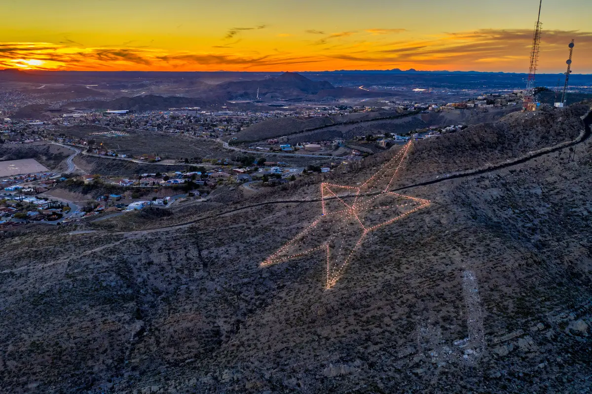
At 24,247 acres of Chihuahuan Desert terrain located entirely within El Paso's city limits, Franklin Mountains State Park holds a title that sounds invented until you look at a map: the largest urban wilderness park in the continental United States. The Franklin Mountains do not skirt the edge of El Paso — they bisect it, running north to south for about 23 miles and dividing the West Side from the Northeast and Central corridors.
The park's high point, North Franklin Mountain, tops out at 7,192 feet. On a clear morning — and most mornings here are clear — you can see the Rio Grande valley, the Juárez skyline, and the New Mexico desert from the upper ridgelines. The park draws a consistent stream of visitors year-round, but many El Pasoans treat its trailheads as an extension of their backyard rather than a formal destination, which means the actual use runs well beyond the official count.
What the Trail System Actually Offers
More than 100 miles of multi-use trails run through the park, covering a range wide enough to suit both first-time desert hikers and competitive trail runners logging serious vertical.
| Trail | Distance | Character | Best For |
|---|---|---|---|
| El Paso Tin Mines Trail | 6.8 miles | Moderate; historic mine ruins, wide desert views | Nature Families |
| Aztec Cave Trail | Short loop | Ends at a volcanic rock formation used historically as shelter | Nature |
| Mundy's Gap | ~4 miles | Open terrain, popular with trail runners and equestrians | Nature |
| Thousand Steps Trail | Moderate climb | Rocky, direct ascent; delivers the ridge payoff quickly | Nature |
| Tom Mays Unit Trails | Various | Beginner-friendly entry point; camping and picnic access | Families Nature |
The El Paso Tin Mines Trail is among the most-reviewed urban trail systems in the American Southwest, consistently drawing strong ratings from hikers who post on trail apps. Rock climbing routes on the park's canyon walls draw climbers from across West Texas and southern New Mexico.
What Locals Know About Timing
New residents from humid climates consistently underestimate the sun here. The Franklins face south and west and hold heat in the rock long after noon. The locals who run these trails are on the mountain before 7 a.m. from June through August and back at their cars before the temperature peaks. If you arrive mid-morning in July expecting a casual hike, the mountain will correct that expectation quickly.
The Tom Mays Unit offers primitive tent and RV camping, ranger-led programs, and some of the more accessible trailheads for families. Wildlife sightings — mule deer, golden eagles, the occasional roadrunner — are common enough that regulars stop commenting on them and newcomers photograph everything.
McKelligon Canyon: Where the Mountain Meets the Amphitheater
McKelligon Canyon sits on the southeastern flank of the Franklin Mountains and functions as something El Paso does not often advertise: an outdoor recreation and performing arts destination in the same canyon. The walls rise steeply on both sides, the rock is dramatic, and the built infrastructure is minimal enough that it still feels like a canyon rather than a park.
The Recreation Side
Hiking trails and rock climbing routes run through the canyon itself. The vertical faces here attract climbers who want something more technical than the broader Franklin Mountains trail network, and the canyon geometry keeps it notably cooler than the open desert on summer afternoons. It is not a destination for long mileage — it is a destination for the experience of being inside a narrow canyon carved into the Franklins, which is a different thing entirely.
The Amphitheater Side
The 1,503-seat open-air amphitheater was built from native stone and inaugurated on July 4, 1976. A smaller 300-seat pavilion sits nearby. Together they host two major summer events that have become fixtures in El Paso's cultural calendar.
Viva El Paso!, a musical drama celebrating the city's border heritage, runs through the summer months at the larger amphitheater. The Cool Canyon Nights concert series brings live music to the canyon across multiple genres, with many performances offering free general admission. Both events draw a cross-section of El Paso that you don't see at any other single venue — longtime families, UTEP students, Fort Bliss personnel, and newcomers trying to understand the city all end up at the same limestone benches.
The combination of canyon hiking in the afternoon and a concert at the stone amphitheater in the evening is the kind of Saturday that makes people stop second-guessing their decision to move here. It is also the kind of thing that doesn't translate well in a relocation spreadsheet until you've actually done it.
Ascarate Park: Water, Golf, and Everyday Recreation
Franklin Mountains State Park is the park that makes El Paso's reputation. Ascarate Park is the one El Pasoans actually use on a Tuesday. At 400 acres, it is the largest public-use recreational park in El Paso County, and its 48-acre lake is the closest thing to a genuine water destination most of the city gets in a landlocked desert region.
The Lake and Water Recreation
The lake is stocked seasonally — rainbow trout in winter, catfish and largemouth bass through the warmer months — and supports kayaks, canoes, and pedal boats alongside fishing. A lakeside boardwalk circles much of the shore. The aquatic center on-site offers lap swimming and recreational pool access, which in a city that regularly hits triple digits in summer is not an amenity to take lightly.
A Healing Garden, playgrounds, and extensive picnic facilities fill out the non-water side of the park. It is a genuinely complete family recreation destination in a way that the Franklin Mountains, for all their scale, are not — the Franklins reward the willing; Ascarate accommodates everyone.
The Golf Side
The Ascarate Golf Course is a 27-hole facility with an 18-hole par-72 main course and a 9-hole executive layout called the Delta 9. The practice infrastructure is thorough: a lighted driving range, putting greens, chipping greens, and a practice bunker. The nonprofit First Tee–Greater El Paso operates out of the course, giving the facility a youth development dimension beyond recreational rounds.
For a buyer comparing El Paso's recreational infrastructure against a peer city, the honest summary is this: you are getting the outdoor scale of a mountain-west city combined with the everyday park amenity of a well-run Sun Belt system. The cost of living in El Paso means that access to this infrastructure comes without the price tag attached to similar park-rich cities in Arizona or Colorado.
What You Won't Find
Ascarate is not a manicured resort-style park. It is a heavily used county facility that serves a broad cross-section of El Paso, and it looks the part. The facilities are functional rather than pristine. Weekends at the lake get crowded. Families who came from Austin or Phoenix expecting a polished urban park experience sometimes need to recalibrate — this is a working-class county park doing exactly what it was built to do, and doing it well.
Looking to buy in El Paso? Estimate your payment.
Enter your numbers to see an estimated monthly mortgage payment.
Estimate only. Excludes HOA fees and mortgage insurance. The interest rate above is a starting point, not a quoted rate — replace it with your own to see real numbers. Insurance is a flat placeholder, not a El Paso quote.
Rio Bosque Wetlands and El Paso's Broader Outdoor Scene
Rio Bosque Wetlands Park is the most unusual green space in El Paso's system — 372 acres along the Rio Grande managed jointly by the City of El Paso and UTEP's Center for Environmental Resource Management as a long-term wetland and riparian-forest restoration project. This is not a finished park. It is an active conservation effort, and the distinction matters if you're deciding whether to visit.
The Birding Case for Rio Bosque
The park has recorded 229 bird species and holds a designated stop on the Great Texas Wildlife Trails (El Paso Rio Loop). Resident species include Gambel's Quail, Harris's Hawk, and Burrowing Owl. Painted Bunting and Blue Grosbeak nest here in summer. In late fall and early winter, when roughly 100 acres are flooded, up to 5,000 ducks can be present at once — a concentration that draws serious birders from across the region.
For anyone moving to El Paso with a birding background, Rio Bosque is the first place to visit. For everyone else, it is worth knowing the park exists and what it is: a working restoration landscape, not a groomed trail destination. Vegetation can be dense and unkempt in sections, and some facilities may be out of service as the restoration work continues. Go for the birds and the Rio Grande views; don't go expecting Ascarate's amenity level.
The Broader System: 280 Parks for a City of Its Size
Beyond the four signature destinations, El Paso's 280-park system includes neighborhood parks, recreation centers, athletic fields supporting active UIL athletics programs across the city, and a Senior Games program that has run continuously for more than four decades — offering adults 50 and older events across basketball, swimming, golf, and track and field.
The El Paso Senior Games is administered directly by the Parks & Recreation Department, which speaks to how integrated the city's athletic programming is with its park infrastructure. This is not a standalone nonprofit running events in rented facilities — it is woven into the same accredited system that manages Franklin Mountains and Ascarate.
The Seasonal Reality
The outdoor calendar here is effectively inverted from what you'd expect in a northern city. Spring and fall are the peak seasons. Summer is for early mornings only — the trails and parks that feel empty and magnificent at 6 a.m. are genuinely dangerous by midday in July and August. Winter in El Paso is mild enough that outdoor recreation continues year-round, and the Franklins in January, when the light is low and the crowds are thin, are among the better-kept secrets of life in this city. Newcomers who moved here expecting desert heat to shut down outdoor life for half the year are frequently the ones who become the most dedicated trail regulars.
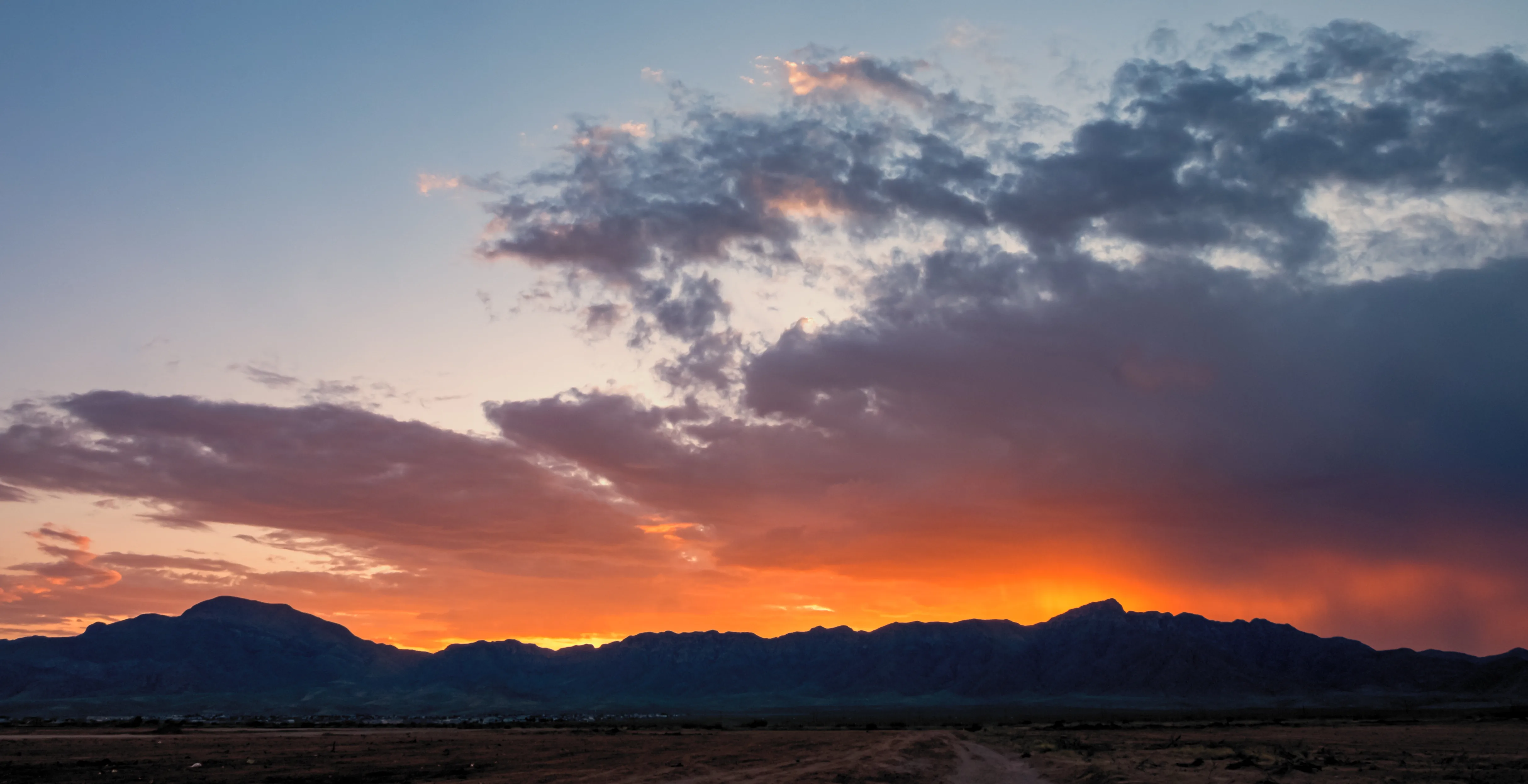
Local Expert Takeaway: El Paso's outdoor infrastructure is anchored by two things most cities its size don't have: a 24,247-acre wilderness park inside city limits and 297 sunny days a year to use it. Franklin Mountains State Park, McKelligon Canyon, Ascarate Park, and Rio Bosque each serve a distinct purpose — big adventure, canyon culture, everyday recreation, and serious birding — and together they make the case that the Chihuahuan Desert is not a recreational limitation. It is the whole point.
Quick Takeaways & FAQs
✅ Franklin Mountains State Park's 100+ miles of trails are entirely within city limits — El Paso is the only major US city where you can run a technical mountain trail and be back at your desk in 45 minutes.
⚠️ Summer heat is real and not to be ignored: trails that are excellent in October become genuinely hazardous by 10 a.m. in July, and newcomers from cooler climates underestimate this every single year.
📍 Rio Bosque Wetlands Park has recorded 229 bird species and can hold up to 5,000 ducks on a single late-fall day — it is one of the most productive birding sites in West Texas and most El Pasoans have never been there.
Is Franklin Mountains State Park really inside El Paso city limits?
What are the best trails in Franklin Mountains State Park for beginners?
Is Ascarate Park good for families with young kids?
Can you fish at Ascarate Park, and what species are available?
What is Rio Bosque Wetlands Park, and is it worth visiting?
Moving to Texas?
Tell us what you need help with and we'll connect you with local resources.
