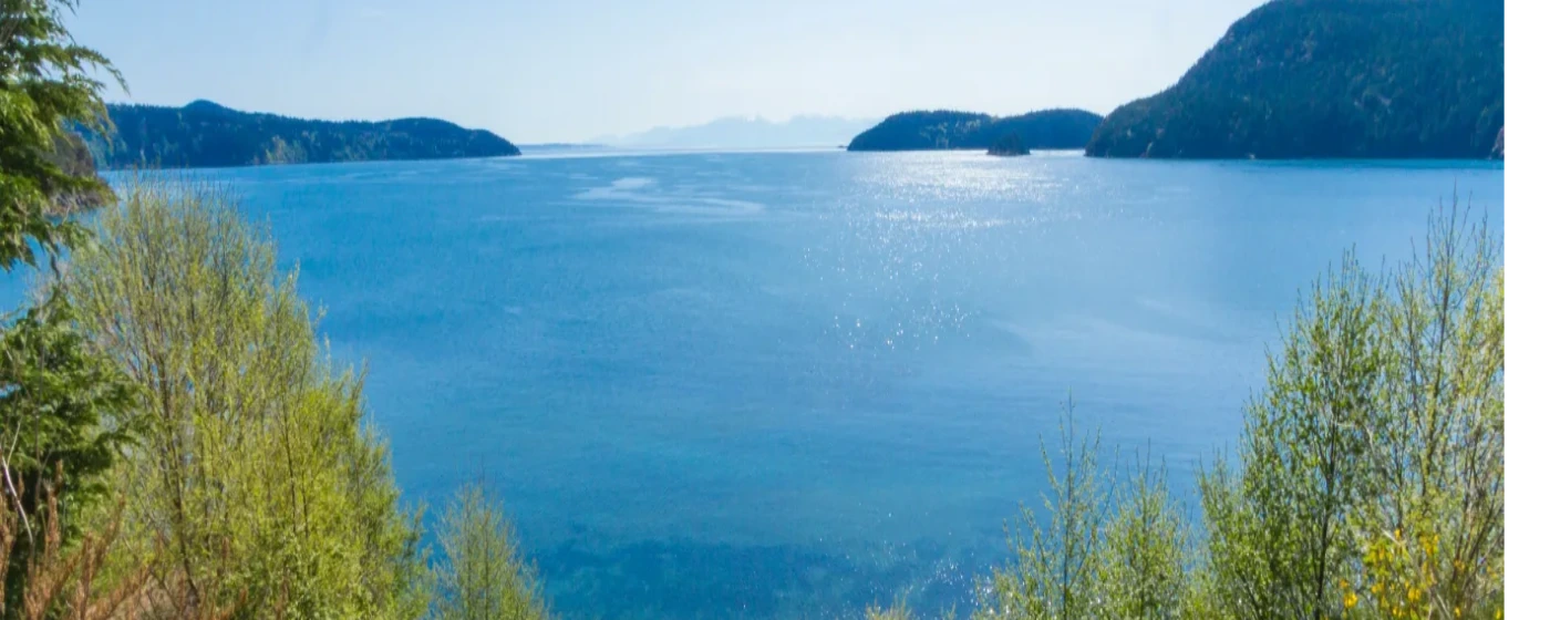
Most cities this size have a park or two. Anacortes has 2,950 acres of city-owned forest within its own limits — and that's before you count Washington Park on the western peninsula, Cap Sante's viewpoint promontory to the east, or Deception Pass State Park a short drive south on SR-20. For a city of fewer than 18,000 people on a saltwater island in North Puget Sound, the ratio of publicly accessible outdoor space to residents is genuinely unusual. People who move here from larger metros often don't fully register this until they're three months in and realize they've been hiking or cycling in old-growth forest without once leaving city limits.
Fidalgo Island's geography drives everything about outdoor life here. The island sits between the outer islands to the west and the North Cascades to the east, which means clear days offer a panoramic sweep that few other small cities can match — Mt. Baker visible from Cap Sante, the Olympic Mountains framed by the water at Washington Park, the Deception Pass Bridge rising 180 feet above the strait to the south. That geography also means the recreation options stack in ways that feel disproportionate to the city's footprint: forested hiking, saltwater kayaking, cycling along a former railroad bed, disc golf, birdwatching in freshwater wetlands, and camping right inside the city.
Seasonal quirks are real here. The Pacific Northwest drizzle doesn't disappear just because Fidalgo Island sits in a partial rain shadow — winter trail conditions in the Anacortes Community Forest Lands can be muddy and slow, and newcomers sometimes underestimate how much the shorter daylight window of November through January compresses outdoor time. Summer, by contrast, is genuinely spectacular: long evenings, calm water in the channels, and ferry traffic picking up as visitors head to the outer islands. If you're moving here primarily for outdoor access, summer will exceed expectations. If you're moving from somewhere sunnier, the November-to-February stretch takes adjustment.
This guide covers Anacortes's signature parks and trails, the waterfront and water-based recreation, the Guemes Channel Trail corridor in progress, and what the nearby Deception Pass area adds to the picture for residents who make it a regular destination rather than a tourist stop.
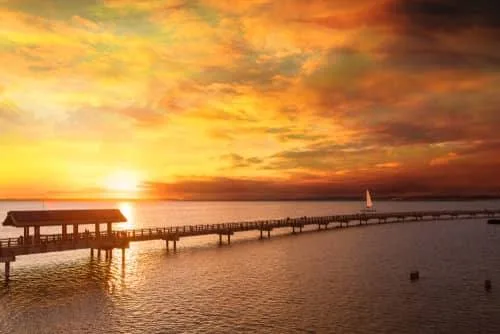
The Anacortes Community Forest Lands: A Forest Inside the City
The Anacortes Community Forest Lands — universally shortened to ACFL by locals — is the kind of place that makes people stop mid-sentence when they're describing it. Over 50 miles of multi-use trails wind through 2,950 acres of forested hills, lakes, streams, wetlands, and meadows, all within Anacortes city limits, managed by the city with support from Skagit Land Trust.
The trail network is genuinely diverse. Hikers share the forest with mountain bikers on designated routes, and equestrians use certain corridors as well. Motorcycles are permitted on limited trails between April 1 and October 31, though most users never encounter them. Dogs are welcome year-round on leash.
Wildlife is a real presence rather than an occasional sighting. The ACFL's wetland pockets attract migratory birds seasonally, and it's not unusual to spot deer, beavers, owls, swans, and bald eagles on the same morning walk. The forest functions as a genuine ecological corridor, not just a recreational amenity.
What Locals Know About the ACFL
The trail network took years of volunteer and city investment to reach its current scale, and it's still evolving — the City closed a public comment period on an updated Forest Plan in early 2025, with a City Council vote still pending. That's worth knowing if you care about how the forest is managed long-term, because decisions made in the next year or two will shape trail access and permitted uses for the next decade.
The practical limitation is mud. The Pacific Northwest winters that keep the forest green also keep the trails wet from October through March. Newcomers who expect year-round dry singletrack find the adjustment real. The payoff is that the forest never browns out in summer the way inland trails do — it stays genuinely lush.
The ACFL doesn't have a single dramatic viewpoint or a marquee summit to anchor a social-media photo. That's actually part of its character. It's a forest you use repeatedly, at low intensity, building knowledge of specific loops and quiet corners over time. Families with kids, trail runners, and cyclists who live here treat it the way urban residents treat a neighborhood park — something woven into the weekly routine rather than saved for special occasions. For youth sports and organized outdoor activities for kids, see the Anacortes schools page for what the district and local programs offer alongside the forest.
Washington Park and Cap Sante: Anacortes's Two Signature Viewpoints
Washington Park and Cap Sante occupy opposite ends of the city and offer genuinely different experiences. Knowing which one to use for what purpose is part of settling in here.
Washington Park: Peninsula Living on 220 Acres
Washington Park sits on a forested peninsula at the west end of Fidalgo Island — the last piece of land before the ferry lanes open up toward the outer islands. The park's signature feature is a paved 2.2-mile one-way loop road that winds through forested hills and meadows with views of the islands and the Olympic Mountains to the west. On a clear afternoon the light on the water is worth making the trip specifically for.
The park functions as a full-service destination rather than just a viewpoint. The campground has 68 sites — 46 with water and electrical hookups and 22 non-utility — along with a boat launch, day-use picnic areas, a group tenting space, and restrooms with showers. It's open year-round from 6 a.m. to 10 p.m. Residents use the boat launch regularly for kayaking and small-craft access to the surrounding waters.
The honest catch with Washington Park: summer weekends bring significant visitor volume, particularly in July and August when campers fill the sites. If you're a resident hoping for a quiet Tuesday morning walk, you'll mostly have it to yourself. If you're planning a Saturday afternoon picnic in peak summer, arrive early.
Cap Sante Park: The City's Eastern Anchor
Cap Sante Park is a 37-acre forested promontory on the eastern edge of Anacortes, accessible from W Avenue. The primary draw is the viewpoint, which takes in Cap Sante Marina directly below, Fidalgo Bay, March Point and its industrial silhouette, Mt. Baker, and the full sweep of the North Cascades. It is one of the few places in the city where the natural and industrial landscapes of Anacortes sit in the same frame — striking rather than incongruous once you adjust to it.
The forest trail through Cap Sante also holds a disc golf course, which gives the park a different kind of regulars: a mix of viewpoint seekers and disc golfers who treat the forested fairways as a genuine recreation destination. It's a combination that works better than it sounds on paper.
| Park | Size | Key Features | Best For |
|---|---|---|---|
| Anacortes Community Forest Lands | 2,950 acres | 50+ miles of multi-use trails, lakes, wetlands, wildlife | Nature Families |
| Washington Park | 220 acres | 2.2-mi loop road, 68-site campground, boat launch, island views | Views Nature |
| Cap Sante Park | 37 acres | Viewpoint, forest trail, disc golf, marina and Cascades views | Views Quiet |
Between the two parks, Anacortes residents have year-round access to two distinct viewpoint experiences — one facing west toward the islands, one facing east toward the mountains — without driving more than ten minutes from most of the city.
Water Access, Waterfront Trails, and the Guemes Channel Corridor
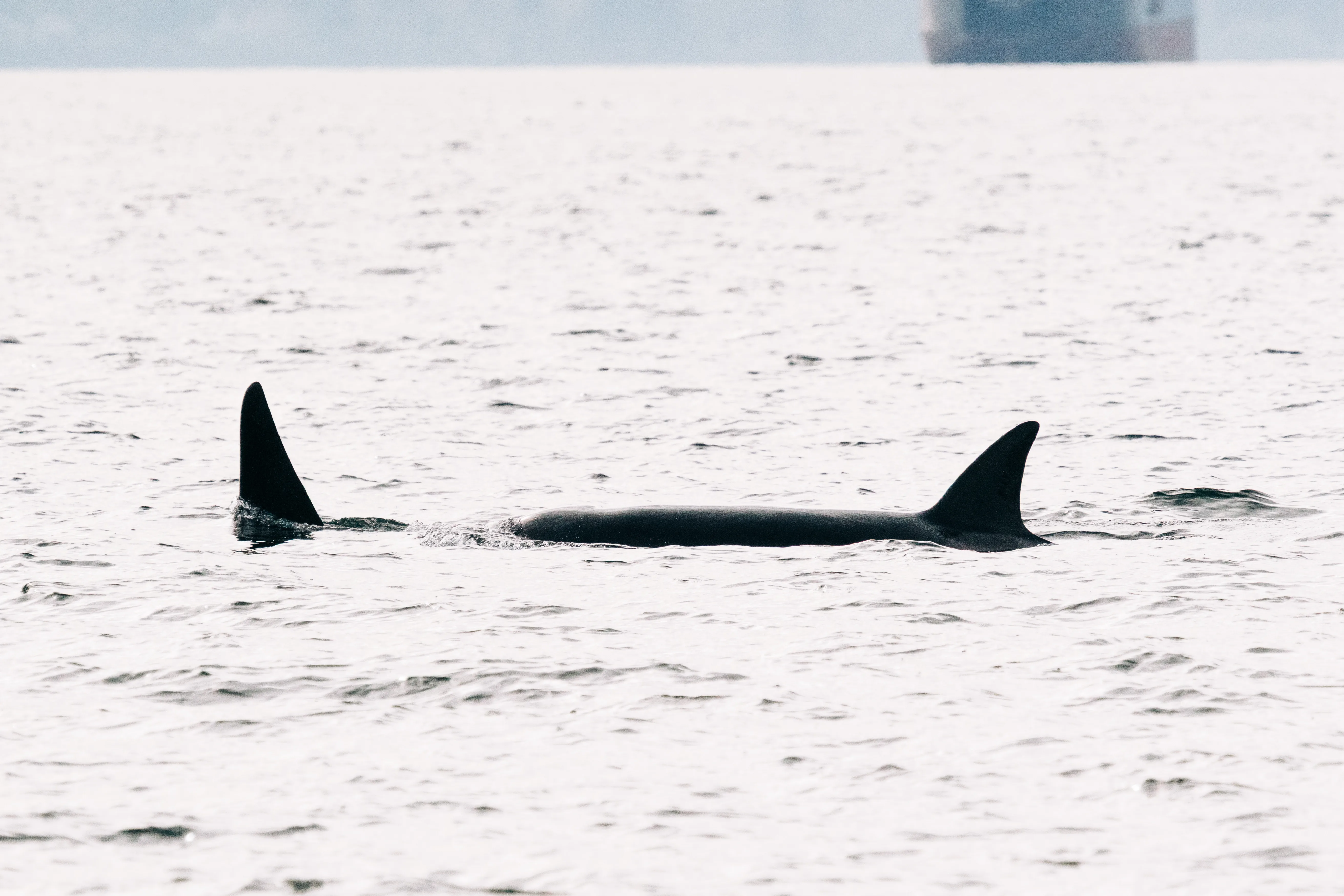
Being on a saltwater island shapes how Anacortes residents interact with outdoor space in ways that landlocked cities simply don't replicate. The water isn't just scenery — it's an active recreation surface used regularly for kayaking, paddleboarding, fishing, and boating.
The Guemes Channel Trail: What Exists Now, What's Coming
The Guemes Channel Trail follows a former railroad bed along the northern shore of Fidalgo Island. As of mid-2026, approximately 6,200 feet of paved, flat, fully accessible trail has been constructed — running from Edwards Way near the state ferry terminal east to the Stabbert Maritime shipyard. That's the current, built reality: a short but genuinely useful waterfront corridor that's wheelchair-accessible and stroller-friendly, with Guemes Channel on one side and the working waterfront on the other.
The larger vision is more ambitious. An Environmental Impact Statement process launched in July 2026 will guide the trail's extension westward to connect with the Tommy Thompson Parkway near Cap Sante Marina. When that connection is made, the combined trail system will link Washington Park all the way to the March Point Park and Ride, running a continuous corridor past the state ferry terminal and through downtown. That is a meaningful infrastructure project for a small city — and it's actively in progress rather than a long-range proposal.
The Tommy Thompson Parkway, which the Guemes Channel Trail will eventually connect to, already functions as an important cycling and walking route along the waterfront near Cap Sante Marina. Together, these corridors are pushing Anacortes toward something unusual for a city this size: a continuous, non-motorized waterfront route that actually connects the major destinations most residents use.
On-Water Recreation
Washington Park's boat launch is the most accessible put-in point for kayakers and paddleboarders heading into the surrounding waters or exploring Fidalgo Bay. The sheltered waters near the marina and Guemes Channel are popular for flatwater paddling, particularly in the calmer morning hours when wind is minimal.
For residents who want a more structured water experience, the Cap Sante Marina itself — one of the larger marinas in the region — puts boat moorage and charter access within easy reach. The combination of marina infrastructure and on-island paddling access means water-based recreation here doesn't require a long drive to a put-in, which matters more than it sounds when you're deciding how often you'll actually do it.
Looking to buy in Anacortes? Estimate your payment.
Enter your numbers to see an estimated monthly mortgage payment.
Estimate only. Excludes HOA fees and mortgage insurance. The interest rate above is a starting point, not a quoted rate — replace it with your own to see real numbers. Insurance is a flat placeholder, not a Anacortes quote.
Deception Pass and the Greater Fidalgo Recreation Picture
Deception Pass State Park is not an Anacortes city park — it's roughly 9 miles south of the city via SR-20. But for residents, it functions as an extension of daily outdoor life rather than a destination reserved for guests. Washington's most-visited state park draws enormous crowds from across the region; Anacortes residents have the practical advantage of proximity without the hotel bill.
What the Park Actually Offers
The numbers are striking for a single park: 38 miles of hiking trails, 14.6 miles of saltwater shoreline, three freshwater lakes, and more than 300 campsites across three campgrounds — Quarry Pond (open year-round), Bowman Bay, and Cranberry Lake. The 1935 Deception Pass Bridge rises 180 feet above the water and remains one of the most photographed structures in the state, though residents who visit regularly eventually stop noticing it in the way that newcomers do.
Rosario Beach, on the southwest corner of Fidalgo Island within the park, offers seasonal ranger-led tidepool tours that follow rope trails to protect the habitat. The Maiden of Deception Pass story pole stands at Rosario Beach, depicting the Ko-Kwal-alwoot story of the Samish Indian Nation — a cultural landmark worth knowing before your first visit rather than encountering cold.
Kayaking and paddleboarding launch from Bowman Bay, with guided tours running April through September. The tidal currents through Deception Pass itself are genuinely powerful and are not suitable for inexperienced paddlers — a fact the park makes clear and that visitors occasionally learn the hard way.
The Honest Seasonal Reality
Summer weekends at Deception Pass are crowded in ways that can genuinely test patience. The parking lots at the bridge overlook and Rosario Beach fill by mid-morning on Saturdays in July and August, and campground reservations go months in advance. Anacortes residents who use the park regularly tend to shift toward weekday visits or early-morning arrivals — and the shoulder seasons (May and September) are arguably the best times anyway, when the crowds thin and the light at the bridge is better.
| Feature | Detail |
|---|---|
| Distance from Anacortes | ~9 miles south via SR-20 |
| Park size | 4,134 acres across Fidalgo Island and the adjacent island to the south |
| Hiking trails | 38 miles total |
| Saltwater shoreline | 14.6 miles |
| Freshwater lakes | 3 (Cranberry Lake, Bowman Bay area, Quarry Pond area) |
| Campsites | 300+ across 3 campgrounds; Quarry Pond open year-round |
| Paddling launch | Bowman Bay; guided tours April–September |
| Tidepool tours | Ranger-led seasonally at Rosario Beach |
| Bridge height | 180 feet above water (built 1935) |
| Cultural site | Maiden of Deception Pass story pole, Rosario Beach |
After a morning at Rosario Beach or a trail run through the ACFL, downtown Anacortes is a short drive north — close enough that wrapping up an outdoor day with a meal or a pint along Commercial Avenue is a realistic endpoint rather than a detour.
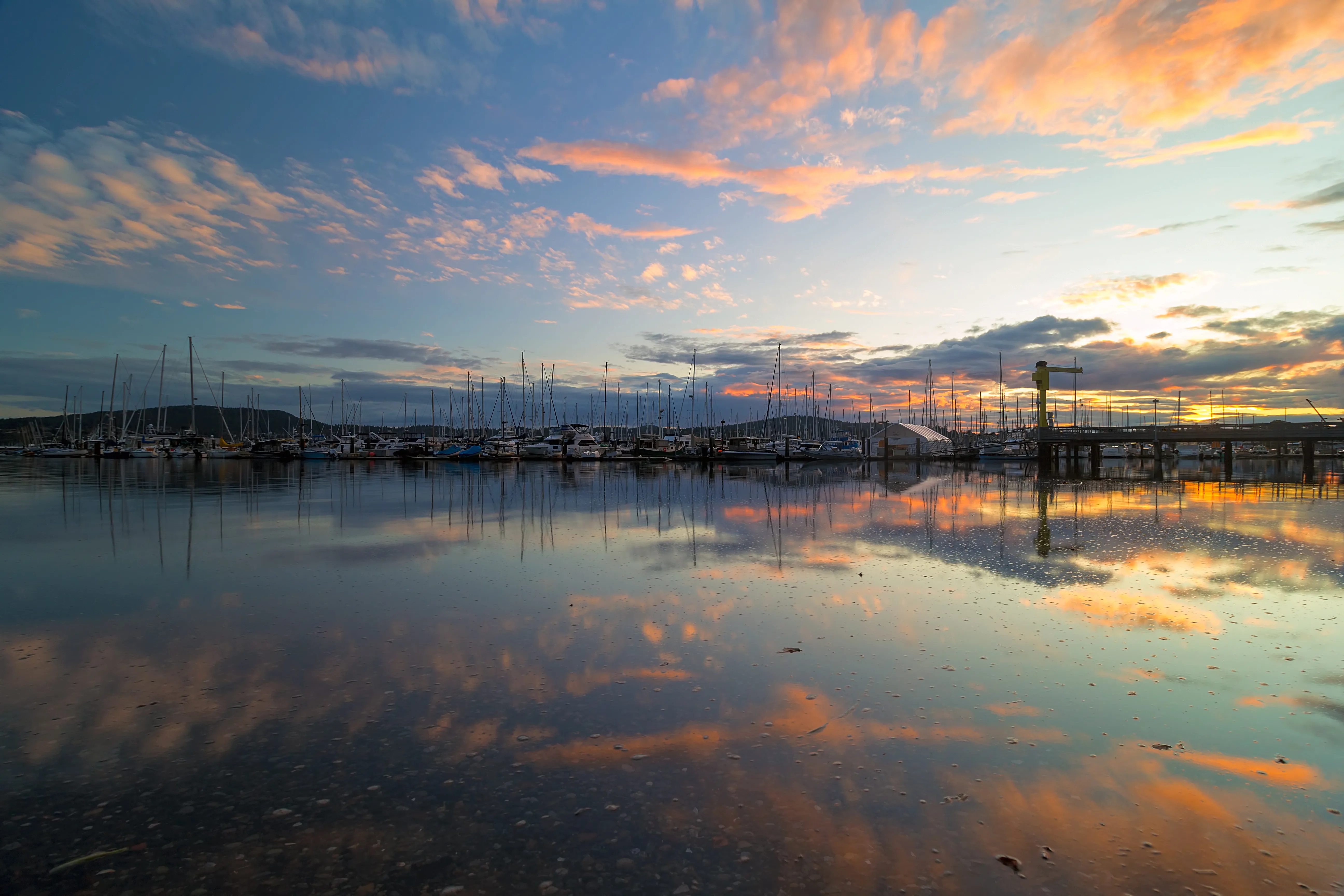
Local Expert Takeaway: Anacortes punches far above its size for outdoor recreation — 2,950 acres of city forest with over 50 miles of trails, a 220-acre peninsula park with a campground and boat launch, and Washington's most-visited state park a short drive south on SR-20. The catch is winters: November through February the trails get muddy, the days get short, and the summer crowds at Washington Park and Deception Pass feel like a distant memory. Residents who thrive here tend to be the kind of people who find a Tuesday-morning ACFL loop genuinely satisfying, not just a consolation prize for missing the mountains.
Quick Takeaways & FAQs
✅ The Anacortes Community Forest Lands puts over 50 miles of multi-use trails within city limits — an outdoor amenity that most cities ten times Anacortes's size cannot match.
⚠️ Summer weekends at Washington Park and Deception Pass bring real crowds; residents who want the parks to themselves plan for weekday mornings or shoulder-season visits in May and September.
📍 The Guemes Channel Trail is actively expanding — an Environmental Impact Statement process launched July 2026 will guide its westward extension to eventually connect Washington Park to downtown and March Point.
How many miles of trails does Anacortes have?
Can you mountain bike in the Anacortes Community Forest Lands?
Is Washington Park campground open year-round?
How far is Deception Pass State Park from Anacortes?
What water recreation is available directly in Anacortes?
Moving to Washington?
Tell us what you need help with and we'll connect you with local resources.
