
People who move to Waller from Houston tend to say the same thing after a few weeks: it feels different in a way that goes beyond the commute. The population of 5,380 means you recognize faces at Buc-ee's, neighbors wave from the driveway, and there isn't the ambient tension that follows you through larger urban corridors. That feeling is backed by the numbers — but the numbers tell a more layered story than a simple "safe" or "not safe" verdict.
Waller carries a violent crime rate of 2.4 per 1,000 residents, which sits meaningfully below the Texas state average of 4 per 1,000 and the national average of 3.7 per 1,000, both from the Bureau of Justice Statistics Crime Known to Law Enforcement report (2024, tables 2 and 3). On violent crime, Waller performs well for a small Texas city positioned along a busy travel corridor. Property crime is a more complicated picture, and flood risk is a separate safety consideration that prospective residents should examine before choosing a specific street or subdivision.
Crime in Waller is also not distributed evenly across the city. The northwest quadrant and the commercial zones around US-290 look different from the quieter residential subdivisions on the northeast side. Understanding that geography matters more than the city-wide headline figure, because the headline is an average that can obscure both the safest pockets and the spots that pull the number up.
Whether you are weighing a move from Houston, comparing Waller to Hempstead or Magnolia, or simply researching what daily life here actually feels like, the sections below break down Waller's crime rates in context, the internal geography of risk, the Waller Police Department's approach, and the environmental hazards — flood chief among them — that go beyond traditional crime statistics.
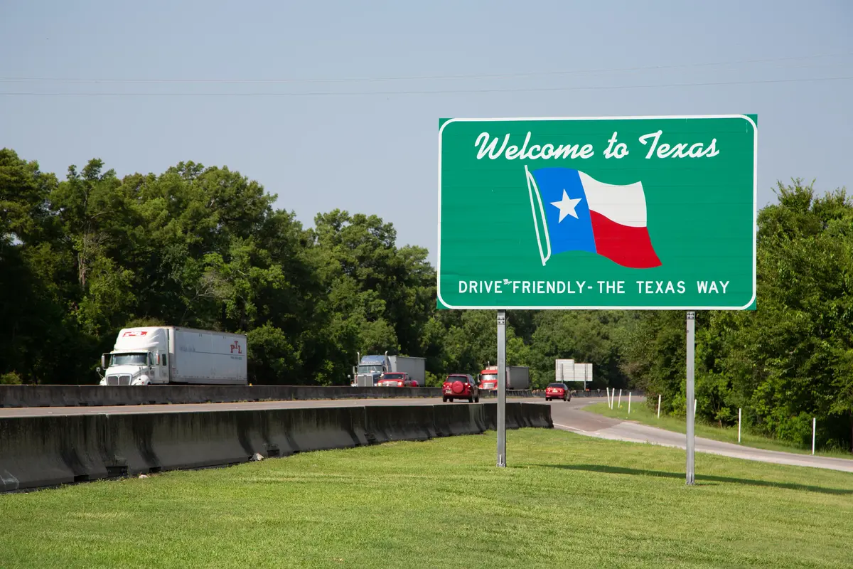
Violent and Property Crime: How Waller Compares
| Measure | Waller | Texas | National | vs. national |
|---|---|---|---|---|
| Violent crime (per 1,000) | 2.4 | 4 | 3.7 | 35% lower |
| Property crime (per 1,000) | 19.2 | 20.7 | 18.4 | About the same |
State and national figures — Bureau of Justice Statistics, Crime Known to Law Enforcement, 2024 (tables 2 and 3). City figures — NeighborhoodScout. City rates come from a different reporting series than the state and national benchmarks, so read the comparison as a direction, not a precise multiple.
Waller's violent crime story is straightforward and genuinely reassuring. A violent crime rate of 2.4 per 1,000 residents places Waller comfortably below both the Texas state average of 4 per 1,000 and the national average of 3.7 per 1,000 (Bureau of Justice Statistics, Crime Known to Law Enforcement, 2024, tables 2 and 3). For a small city positioned directly on US-290 — one of the busiest travel corridors between Houston and the Hill Country — that is a meaningful result.
Property crime is where the picture gets more nuanced. A property crime rate of 19.2 per 1,000 residents sits modestly below the Texas state average of 20.7 per 1,000 but slightly above the national average of 18.4 per 1,000, using the same Bureau of Justice Statistics series. Neither figure is alarming in isolation, but the direction of travel matters: City-Data.com notes that over the last five years Waller has seen decreasing violent crime alongside increasing property crime — a pattern worth tracking as the city continues to grow.
What the comparison numbers can't capture is the context behind the property crime figure: a significant share of Waller's theft and vehicle-related incidents concentrate near high-traffic commercial zones, which inflates the rate for the city as a whole without reflecting the experience in most residential neighborhoods.
The broader Texas trend provides useful framing. Crime across the state has been decreasing since 2023, and Texas Department of Public Safety data reported by the Texas Tribune shows an overall crime rate drop between 2024 and 2025. Waller's figures exist within an improving statewide environment, not a deteriorating one.
Inside Waller: Where Safety Varies by Neighborhood
The city-wide rate is a starting point, not a conclusion. The northwest side of the city absorbs the bulk of traveler and commercial traffic. The presence of Buc-ee's, Love's Travel Stop, and the commercial development along US-290 means more people, more vehicles, and more opportunity for property crime. Crime mapping tends to cluster near exactly these kinds of high-volume nodes — not because the surrounding residential streets are dangerous, but because the volume of activity is simply higher.
The northeast side tells a different story. The residential subdivisions — Attwater, Beacon Hill, Oakwood Estates, Wildrye, Mallard Crossing, Stone Creek Ranch, Cypresswood Trails, and the older blocks around Downtown Waller — sit away from that commercial activity. Residents in these areas consistently describe their experience as clean, peaceful, quiet, and family-friendly, and that perception aligns with what crime mapping shows for areas removed from the commercial corridor.
One thing worth knowing before settling on a specific address: elevated risk near a commercial corridor is not the same as elevated risk inside the adjacent subdivision. If you are looking at a home within a few blocks of a major travel stop or a busy arterial, pull the specific block's history rather than relying on the neighborhood name alone. The boundaries between quieter and busier in a city this size can be a single street wide. Sites like CrimeGrade.org let you look up a specific address to get a more granular picture.
For a deeper look at how these neighborhoods differ in character and housing stock, see the best neighborhoods in Waller guide.

The Waller Police Department: Size, Model, and What It Means for Residents
Waller's police department is a small force serving a city of 5,380. The department's stated model — high-visibility patrols, proactive enforcement, and a community-policing philosophy built on daily officer-resident contact — is well suited to a small city where officers can genuinely know the neighborhoods they cover.
High-visibility patrol is particularly relevant along the commercial corridor, where the combination of traveler traffic and 24-hour retail creates the conditions most associated with opportunistic property crime. A department that keeps officers visible in those zones is directly addressing the category where Waller's numbers run above the national average.
In December 2025, the city council moved to adopt the COPsync Records Management System for the department. That kind of infrastructure investment signals a commitment to modernizing how crime data is tracked and shared — relevant for residents who want to see incident-level data, and for a city whose growth over the next decade will demand more sophisticated coordination.
A small force covering a spread-out small city means response times to subdivisions on the outer edges — particularly the newer developments along FM-362 and FM-2920 — will naturally be longer than in a denser city with more coverage layers. That is not a critique of the department; it is the honest physics of policing a city like this. Knowing your nearest neighbors and keeping exterior lighting functional are practical habits that matter more here than they would in a neighborhood with a substation two blocks away.
Looking to buy in Waller? Estimate your payment.
Enter your numbers to see an estimated monthly mortgage payment.
Estimate only. Excludes HOA fees and mortgage insurance. The interest rate above is a starting point, not a quoted rate — replace it with your own to see real numbers. Insurance is a flat placeholder, not a Waller quote.
Flood Risk: The Safety Concern That Crime Statistics Don't Capture
Crime rates measure one kind of safety. In Waller, flood exposure is the other kind — and it may carry more day-to-day consequence for certain properties than the violent crime rate ever will.
Approximately 12% of Waller County sits within FEMA Special Flood Hazard Areas. The city itself experienced localized street flooding during Hurricane Harvey, and a June 2026 city notice confirmed that portions of Waller sit within or near the 100-year floodplain. That is not a statement about the whole city — most of the newer master-planned subdivisions were sited with drainage engineering in mind — but it is an essential check before committing to a specific property.
The 100-year floodplain designation means there is roughly a 1% annual chance of a flood event that reaches that elevation. Over a 30-year period — a typical mortgage term — that cumulative probability climbs to about 26%. For properties in or near that zone, flood insurance is not optional in any practical sense.
What newcomers from outside the Gulf Coast region consistently underestimate is how quickly conditions change during a major storm. Harvey dropped more than 40 inches of rain on parts of the Houston metro. Streets that are not in a formal flood zone can still flood during extreme events, and the Texas coastal plain's flat topography means water has nowhere fast to go. Checking a specific parcel's FEMA flood zone designation — and asking about the property's flood history — is a basic step before choosing any address in this part of Waller County.
The city's June 2026 floodplain notice is a useful starting point, and FEMA's Flood Map Service Center lets you look up any address by parcel. Properties in a high-risk flood zone carry real implications for insurance costs. See the cost of living in Waller page for context on how insurance costs fit into the broader housing budget.
What Residents Actually Experience: The Street-Level Safety Picture
Statistics frame the conversation. What they don't capture is the texture of daily life — and in Waller, that texture skews noticeably toward the small-town end of the spectrum. Residents most frequently describe Waller as clean, family-friendly, peaceful, quiet, and safe. That is a consistent signal, not a promotional one, and it lines up with what the violent crime rate suggests about on-the-ground experience.
What surprises many people after six months here is how much of daily life is self-regulating in a city this size. Neighbors know who belongs on the street. A new truck parked in front of a house gets noticed. The social fabric that makes a place feel safe — and that supplements what any police force can provide — is more visible in Waller than in most Houston suburbs twice its size.
The honest friction point is property crime, specifically vehicle-related theft. Unlocked cars and visible valuables left inside are a reliable attractor in any city with a major travel corridor running through it. Residents who have lived near the US-290 commercial zone for more than a few years will tell you: lock everything, every time. It is not an indictment of the city — it is the same advice that applies to any community anchored by 24-hour travel retail.
Parents with school-age children generally feel comfortable with the neighborhood safety picture in the residential subdivisions, which is where most families settle. The Waller Independent School District's campuses serve 10,869 students enrolled in 2025-26, and the school environment itself is not a safety concern that tends to surface in community feedback. The district holds a C rating, according to the Texas Education Agency — an academic story separate from physical safety, but relevant context for families doing their full due diligence on the area.

Local Expert Takeaway: Waller carries a violent crime rate of 2.4 per 1,000 residents — genuinely below both the Texas and national averages — and the residential subdivisions on the northeast side of the city feel exactly as quiet and family-oriented as resident reviews suggest. The property crime figure is the one to watch, and it is concentrated near the commercial corridor along US-290 rather than spread evenly through the city. If you are evaluating a specific address, the more important safety research is flood zone status: portions of the city sit within or near the 100-year floodplain, Hurricane Harvey left a mark here, and that risk does not show up in any crime statistic. Check the FEMA map for any parcel you are seriously considering before you go further.
Quick Takeaways & FAQs
✅ Waller carries a violent crime rate of 2.4 per 1,000 residents, sitting well below both the Texas state average and the national average — making it one of the safer small cities along the US-290 corridor.
⚠️ Property crime runs slightly above the national average and has been trending upward over the last five years, with incidents concentrating near the high-traffic commercial zones rather than in residential neighborhoods.
📍 Flood risk is the safety factor that catches newcomers off guard — portions of Waller sit within or near the 100-year floodplain, and checking a specific parcel's FEMA flood zone designation is an essential step before choosing an address here.
Is Waller, TX a safe place to live?
Which parts of Waller have the lowest crime?
How does Waller's crime rate compare to the rest of Texas?
Does Waller have a flood risk problem?
What is the Waller Police Department like?
Moving to Texas?
Tell us what you need help with and we'll connect you with local resources.
