
Most people moving to Maryville from a larger city expect a pleasant small town with decent parks. What they don't expect is to be 20 minutes from a national park trailhead, able to walk from downtown to a paved greenway that stretches more than 18 miles, and have genuine mountain river fishing within a short drive of a suburban neighborhood. The outdoor access here is not incidental — it's the reason a significant share of residents chose Maryville over Knoxville in the first place.
Maryville, with a population of 32,442, sits at the edge of the Great Smoky Mountains, and daily life reflects that geography in concrete ways. The Little River, a 59-mile waterway originating inside Great Smoky Mountains National Park, runs through Blount County. The Foothills Parkway — accessed off US-321 — is a low-traffic scenic drive that residents treat as a backyard amenity. Bicentennial Greenbelt Park, the city's urban anchor, was built on a former industrial corridor and dedicated in 1976, and it has since become the social and recreational center of downtown Maryville.
The outdoor season here is long. With 200 sunny days a year and mild shoulder seasons, the Maryville-Alcoa Greenway and Greenbelt Lake get steady use from early spring into late fall. October in particular is a different kind of experience — the Little River corridor and Foothills Parkway draw significant visitor traffic during leaf season, and residents who don't know what they're getting into can find their usual weekend routes crowded in a way that surprises them. That's the kind of seasonal detail worth knowing before you move.
Whether you're considering relocating or already decided and figuring out what daily life looks like, the sections below cover Maryville's signature parks, the greenway network, water recreation, and the organized programs that make the recreation commission here more than just a grass-cutting operation.
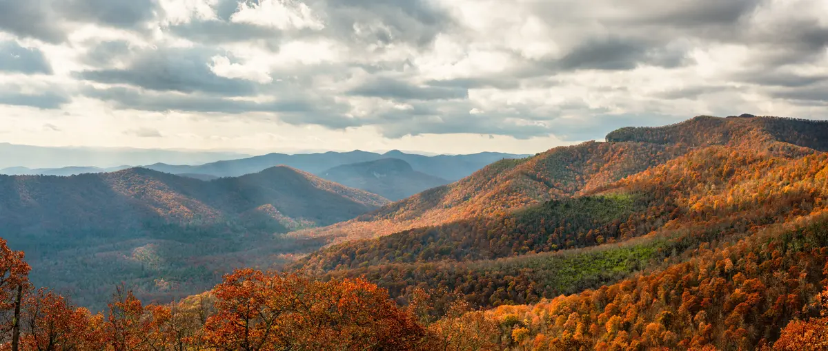
Bicentennial Greenbelt Park: The City's Outdoor Living Room
Bicentennial Greenbelt Park is the rare urban park that actually changed a city's relationship with its own creek. Before 1976, Pistol Creek ran through a polluted light-industrial corridor in downtown Maryville. The park's dedication on July 4, 1976 — the result of a years-long urban renewal push — transformed that corridor into the green anchor of downtown.
At the center is Greenbelt Lake, ringed by a 1-mile paved loop that footbridges cross at several points. The wildlife here — herons, egrets, ducks, and turtles visible from the path — is a genuine surprise for first-time visitors who expect a generic city pond. The park is dog-friendly with leash requirements, and on any weekday morning you'll find it busy with walkers who treat the loop as their commute warm-up rather than a weekend outing.
Beyond the lake loop, the park includes tennis courts, a softball field, picnic tables, a fountain, and benches positioned to face the water. It functions less like a destination park and more like a commons — the place downtown residents default to without making a plan. The park's connection to the Maryville-Alcoa Greenway (more on that below) means what feels like a short lakeside walk can extend into a multi-mile trail day if you want it to.
Sandy Springs Park: The Greenway's Southern Anchor
Sandy Springs Park operates as a quieter complement to Bicentennial Greenbelt — less foot traffic, more neighborhood-oriented, with walking trails, a playground, a picnic pavilion, restrooms, and water fountains. It serves as the southern access point for the Maryville-Alcoa Greenway, making it the natural starting point for residents in the southern and western parts of the city who want to connect to the trail system without driving to downtown. Best for: Families Nature
The Maryville-Alcoa Greenway: 18+ Miles of Connected Trail
The Maryville-Alcoa Greenway is the kind of trail infrastructure most cities this size don't have. Its 9-mile spine follows Pistol Creek, and with spurs, loops, and connectors, the full paved network grows to more than 18 miles — linking parks, schools, neighborhoods, and businesses across both Maryville and neighboring Alcoa.
The trail connects Springbrook Park in Alcoa with Bicentennial Greenbelt Park and Sandy Springs Park in Maryville. It's paved throughout and rated easy, with only 141 feet of elevation gain across the full out-and-back distance. That accessibility is deliberate — this is not a trail designed for serious hikers. It's designed for the weekday commuter, the parent pushing a stroller, the retiree who wants three miles without worrying about footing. The AllTrails rating reflects that: more than 540 reviews averaging 4.6 stars, making it the most-reviewed trail in the greenway system.
What Locals Know About Using the Greenway
The trail's multiple access points mean you're rarely forced to drive to a trailhead. Residents in neighborhoods near Pistol Creek can step onto the path directly. But there's a practical detail that surprises newcomers: the greenway connects two cities, which means maintenance standards and signage can feel inconsistent depending on which segment you're on. It's not a problem — it's just worth knowing that the Alcoa sections are managed separately from Maryville's.
The greenway also doubles as genuine transportation infrastructure. Some residents use it to reach downtown Maryville without touching a road, which is not something most Tennessee small cities can offer. If on-foot access to downtown matters to you when evaluating which neighborhood to buy in, proximity to a greenway access point is the practical variable to check.
| Trail / Greenway Segment | Distance | Surface | Difficulty | Key Feature | Best For |
|---|---|---|---|---|---|
| Maryville-Alcoa Greenway (full network) | 18+ miles | Paved | Easy | Pistol Creek corridor, multi-city connection | Commuter Families |
| Greenbelt Lake Loop | 1 mile | Paved | Easy | Footbridges, wildlife, downtown Maryville | Walkable Quiet |
| Sandy Springs Park Trails | Short loops | Paved | Easy | Southern greenway access, playground | Families |
| Look Rock Tower Trail | 0.8 mi round-trip | Paved | Easy–Moderate | 360° Smokies panorama at 2,652 ft | Views Nature |
| Foothills Parkway (US-321 to US-129) | Scenic drive | Road | N/A | Smokies overlooks, low traffic | Views |
| Little River Corridor | 59 mi watershed | Water / riverside | Varies | Fishing, kayaking, swimming, fall foliage | Nature Privacy |

Water Recreation: Little River, Fort Loudoun, and the Foothills Parkway
Maryville's water access is genuinely unusual. Lowland reservoir fishing and mountain river paddling are both within reach of the same zip code — bass and crappie on Fort Loudoun Lake, wading riffles and trout on the Little River. Most cities make you choose one or the other based on geography. Maryville doesn't.
The Little River
The Little River originates inside Great Smoky Mountains National Park on the north slope of Clingman's Dome and flows 59 miles through Blount County before reaching the Tennessee River. Residents use it for fishing, kayaking, canoeing, and swimming. The sections within or near the park run cold and fast, better suited to wading anglers and experienced paddlers. The lower sections closer to Maryville flatten and slow, making them accessible to beginners in a canoe or anyone looking for a warm-weather swim hole.
The catch — and it's worth saying plainly — is that October changes everything on the Little River corridor. Fall leaf season draws significant day-visitor traffic, and what's a quiet Tuesday kayak any other month becomes a crowded weekend experience in October. Locals either plan around it or lean into it. What they don't do is expect solitude on a Saturday in peak leaf season.
Look Rock Tower and the Foothills Parkway
Look Rock Tower sits at 2,652 feet — the highest point along the Foothills Parkway — and is reached by a 0.8-mile round-trip paved trail off US-321. The tower offers a 360-degree view: Great Smoky Mountains on one side, the Tennessee River Valley and Maryville on the other, with visibility stretching up to 40 miles on a clear day. It's among the more dramatic payoffs per mile of effort in the entire Smokies region.
The Foothills Parkway itself connects US-321 near Walland to Chilhowee Lake at US-129, with scenic turnouts along the way. Residents treat it as a lower-traffic alternative when the main park roads are backed up — which, during peak tourist season, they frequently are. Confirm current trail status at Look Rock Tower before visiting, as conditions occasionally affect access.
Looking to buy in Maryville? Estimate your payment.
Enter your numbers to see an estimated monthly mortgage payment.
Estimate only. Excludes HOA fees and mortgage insurance. The interest rate above is a starting point, not a quoted rate — replace it with your own to see real numbers. Insurance is a flat placeholder, not a Maryville quote.
Beyond the Monthly Mortgage Payment — What to Factor In
- The property tax rate above — The 0.40% used in the estimate is the median effective rate — tax actually paid as a share of market value — published by Ownwell, 2026. Half of local homes pay more and half pay less: your own bill depends on that property's assessed value and any exemptions it qualifies for, which can differ a lot from its market price. Confirm with the Blount County assessor before you budget.
- Total cost of ownership — Your monthly mortgage payment is just the baseline. Depending on the specific city, county, and service district, homeownership costs also include local utility fees, municipal surcharges, and special assessments (such as water, sewer, storm drainage, or local energy taxes) that vary by location.
- Independent due diligence — Because these recurring local costs and municipal fees change depending on the exact property address, buyers must research them independently during their transaction process.
Tax laws, local municipal fees, and utility costs change frequently and individual situations vary. This page is general information, not tax or legal advice — always consult a qualified tax professional, CPA, or local municipal offices for personalized guidance.
Organized Recreation: Programs, Aquatics, and Seasonal Life
The Maryville-Alcoa-Blount County Parks & Recreation Commission runs more programming than a city of 32,442 might lead you to expect. Youth summer day camps, karate classes through the county's oldest martial arts school (founded 1967), dance programs for toddlers, and aquatic programming at Springbrook Pool are all on the regular schedule. It's the kind of roster that matters most to parents deciding whether this city can actually support an active kids' schedule without driving to Knoxville for everything.
Aquatics
The flagship aquatic program is the Flying Dolphins, a competitive swim team for ages 6–18 operating out of Springbrook Pool in partnership with the Parks & Recreation Commission and the Greater Knoxville Area Interclub Swimming Association. Competitive youth swimming at this level in a city this size typically requires a club program with fees and a private facility; here it's embedded in the county parks structure. For families with kids who swim, that distinction matters — see the schools page for more on extracurricular options through the district itself.
The Seasonal Rhythm
If you move here from a city without genuine seasons, the recreational calendar here will take a year to internalize. Spring brings consistent greenway use as soon as temperatures climb — by March, the Greenbelt Lake loop is a daily ritual for a significant portion of downtown Maryville. Summer shifts toward the water: the Little River, Fort Loudoun Lake, Springbrook Pool. Fall is peak everything — foliage on the Foothills Parkway, cool-weather hiking, and the annual tourist surge that fills TN-73 and US-321 on weekends.
Winter is the honest surprise. Maryville doesn't get significant snow most years, which means the greenway stays walkable through January and February. Residents who moved from genuinely cold climates often say this is the detail they didn't appreciate until their first winter — the outdoor infrastructure doesn't disappear for four months the way it does further north.
What You'd Tell a Friend Who's Moving Here
Don't underestimate how central the greenway becomes to daily life. People who move here thinking they'll use it occasionally end up on it three times a week. The challenge is the opposite of what you'd expect — not lack of access, but learning which entry point serves your neighborhood and which segments get crowded on weekends. For everything else the city offers outdoors, the cost of living relative to what you're getting in recreational access is one of the better deals in the Knoxville metro area.
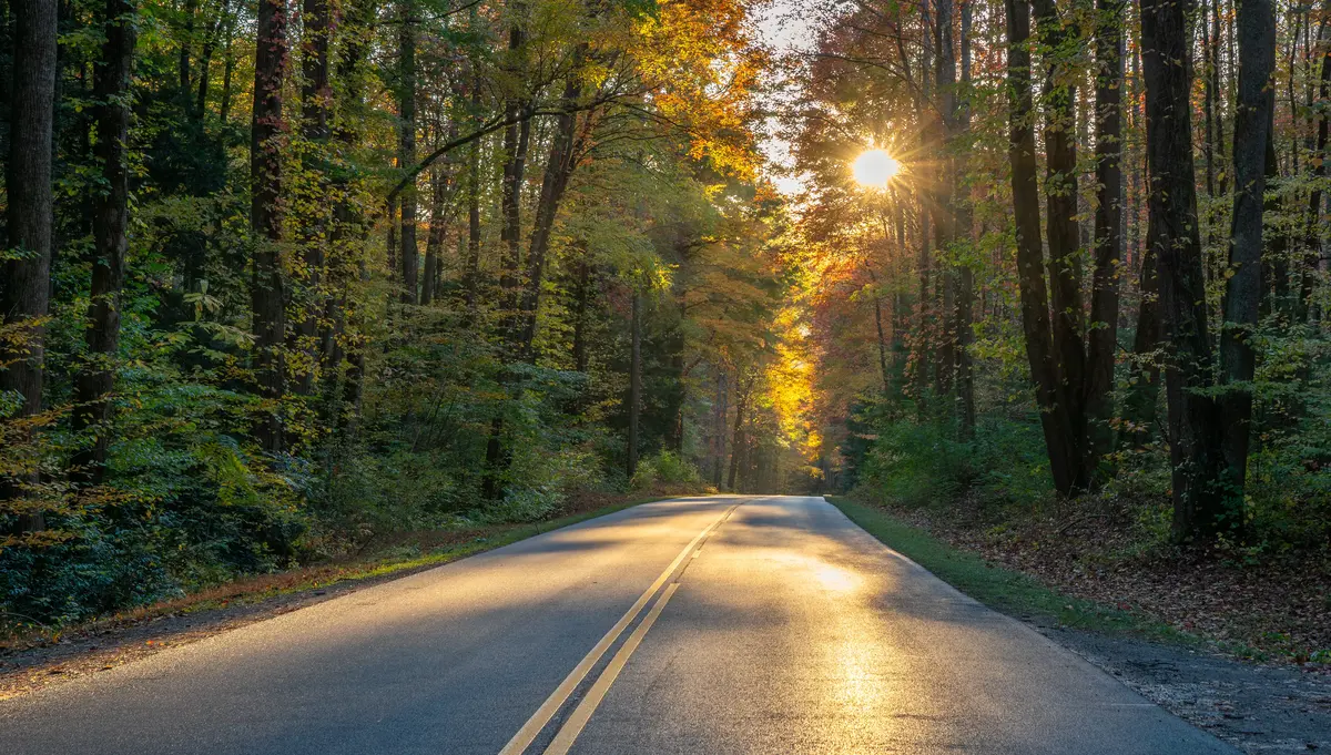
Local Expert Takeaway: The greenway is what makes daily life here different from a typical Tennessee suburb — it's not a weekend destination, it's where people actually go on Tuesday mornings. Greenbelt Lake draws the downtown crowd; Sandy Springs pulls the southern neighborhoods. For anything bigger, Look Rock Tower on the Foothills Parkway is a 20-minute drive and genuinely spectacular. The Little River is the wild card: beautiful, accessible, and completely transformed by October tourist traffic. Move here knowing that October weekends on US-321 belong to the visitors, not the locals.
Quick Takeaways & FAQs
✅ The Maryville-Alcoa Greenway covers more than 18 paved miles connecting parks, schools, and neighborhoods — rare infrastructure for a city this size.
⚠️ October leaf season floods the Little River corridor and Foothills Parkway with day-trippers, which catches new residents off guard on their first fall weekend.
📍 Look Rock Tower on the Foothills Parkway delivers a 360-degree Smokies panorama via a 0.8-mile paved trail — confirm current access status before you go.
How long is the Maryville-Alcoa Greenway?
Can you fish or kayak on the Little River near Maryville?
Is Bicentennial Greenbelt Park good for dogs?
How far is Maryville from Great Smoky Mountains National Park?
What organized recreation programs does Maryville offer for kids?
Moving to Tennessee?
Tell us what you need help with and we'll connect you with local resources.
