
Most people drive through Tillamook and think: cheese factory, rain, move on. The ones who actually move here discover something the highway doesn't reveal — a city of 5,200 sitting inside one of the most recreation-rich pockets on the Oregon Coast, where a 319-foot waterfall, the largest coastal bay on the north coast, and a ghost-town peninsula are all within a short drive of the grocery store. Outdoor life here isn't a weekend trip you plan. It's what Tuesday looks like.
The practical geography matters. US-101 and OR-6 thread through the coastal range and connect Tillamook to its surrounding wild lands. Five rivers feed into Tillamook Bay from the east. The Pacific sits just to the west across a narrow peninsula. That configuration means fishing, paddling, hiking, and wildlife watching aren't spread across the county — they converge right around the city. For someone moving from inland Oregon or the Willamette Valley, the density of accessible outdoor recreation within a ten-mile radius of downtown is a genuine surprise.
The honest trade-off is the weather. Tillamook averages 135 sunny days a year, which is fewer than most of inland Oregon. The coast earns its reputation for overcast skies and persistent rain, and anyone who shows up expecting year-round sunshine will recalibrate quickly. But locals learn that mist and fog don't stop hiking, fishing, or kayaking — they just change the aesthetic. Crabbing is best in winter. The waterfall trail is arguably more dramatic under a grey sky. The peninsula is emptiest in October and November, which is when many residents prefer it.
Whether you're considering a move to the coast or weighing what daily life actually looks like here, the sections below cover Tillamook's signature parks, trail options, water recreation on the bay and rivers, and the seasonal rhythms that shape outdoor life in this corner of Oregon.
Signature Parks: From City Greenways to Coastal Headlands
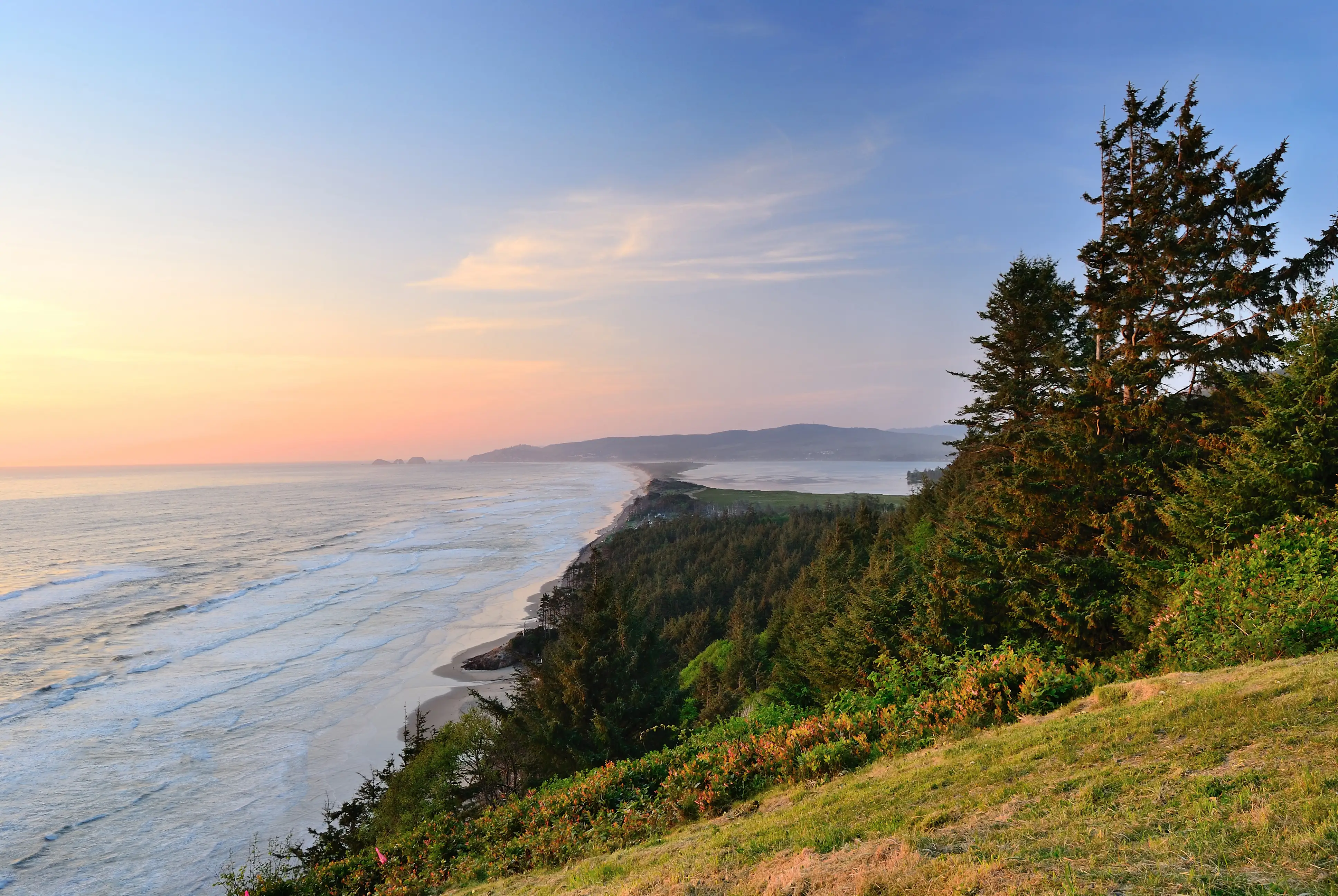
Tillamook's park system runs at two very different scales. Inside the city limits, the parks are modest but purposeful. Out on the headlands and peninsula, they are extraordinary.
Lillian Goodspeed Park & the Hoquarton Interpretive Trail
The city's own green spaces are anchored by Lillian Goodspeed Park, a long-established community gathering point that serves the everyday needs a small city park should — open space, a place to walk, somewhere for kids to be outside after school. In the Hoquarton neighborhood, the Hoquarton Interpretive Trail is a more recently developed greenway that threads through the estuary-adjacent lowlands. It's a flat, accessible walk that gives you a ground-level look at the slough ecosystem that defines so much of Tillamook's geography.
Neither park will make a top-ten list. They're quiet, functional, and exactly what a city of 5,200 actually uses. The real parks story happens outside city limits.
Cape Meares State Scenic Viewpoint
About ten miles west of the city center, Cape Meares State Scenic Viewpoint covers 240 acres on the north end of the Three Capes Scenic Route. The headland juts into the Pacific at a point where the cliff drops sharply to the ocean, and the views are the kind that make people stop talking mid-sentence.
There's no day-use fee, which matters when you're going regularly. The park holds two short but rewarding walks. A paved 0.2-mile path leads to the Cape Meares Lighthouse — built in 1889, standing just 38 feet tall, the shortest lighthouse on the Oregon Coast, and still equipped with its original first-order Fresnel lens. From those sea cliffs, mariners could spot the light from more than 21 miles offshore. A separate 0.1-mile path leads to the Octopus Tree, a Sitka spruce designated as an Oregon Heritage Tree, roughly 300 years old, with massive horizontal limbs that spread in every direction rather than growing upward — it looks like something out of a storybook, and residents who've driven past it a hundred times still stop.
From the viewpoint itself, gray whales pass during their migration, and the cliffs host nesting seabirds — common murres, cormorants, pigeon guillemots — from spring through midsummer. Oregon's Whale Watch Week programs station volunteers here in December and during spring break, which means even newcomers can get oriented quickly to what they're seeing offshore.
| Park / Destination | Distance from Tillamook | Best For | Entry Fee |
|---|---|---|---|
| Lillian Goodspeed Park | In city | Families Quiet | None |
| Hoquarton Interpretive Trail | In city | Nature Walkable | None |
| Cape Meares State Scenic Viewpoint | ~10 miles west | Views Nature | None |
| Munson Creek Falls State Natural Site | ~7–8 miles south | Nature Families | None |
| Bayocean Peninsula Park | ~8 miles west | Nature Privacy | County pass or day fee |
| Wilson River Trail | East via OR-6 | Nature Views | None |
Tillamook County sells an annual day-use parking pass that covers county park day-use areas and boat launches — worth buying early if you plan to use Bayocean Peninsula Park or the county boat launches regularly.
Munson Creek Falls & the Forest Trails
Munson Creek Falls is the outdoor anchor that residents mention first when people ask why they moved here. Seven to eight miles south of Tillamook off US-101, the falls drop 319 feet in three distinct tiers — the tallest waterfall in Oregon's Coast Range. The trail is a quarter-mile one-way through old-growth forest, flat enough for anyone who can walk, and free. There is no barrier to entry, which is the right way to describe it: you park, you walk, you stand in front of something genuinely spectacular.
The forest itself earns a separate look. The Munson Creek Falls State Natural Site shelters ancient red cedar and Sitka spruce, including one of the tallest remaining Sitka spruces in the country at 260 feet. The scale of those trees — the way they reduce a full-grown adult to a detail in the landscape — is something photographs don't fully convey. First-time visitors tend to be quieter on the walk back than they were on the way in.
In late fall, the creek running beneath the falls becomes salmon habitat. Native salmon move through the clear water on their spawning run, visible from the bank if you know where to look. It is the kind of ecological event that happens every year about eight minutes from the city center and that most people outside the Pacific Northwest have never seen.
Wilson River Trail
The Wilson River Trail follows OR-6 eastward into the forest and offers more sustained hiking for residents who want something beyond the short coastal walks. The trailhead sits well east of the city — this is not a walk from the back of your neighborhood — but it's a natural extension of what Tillamook residents access when they want forest miles rather than coastal viewpoints. The trail runs along the Wilson River through the coast range and is well regarded among the local hiking community for its river corridor scenery and old-growth sections.
One honest note for people considering Tillamook for its outdoor access: most of the best recreation requires a short drive. Nothing here is truly walkable from a residential street. The city's geography puts you close to extraordinary places, but you'll need a car to reach them. That's a reasonable trade-off for what you get at the end of the drive — but it's worth knowing before you arrive expecting something more like a mountain town where trailheads start at the edge of a neighborhood.
Bayocean Peninsula: The Ghost Town You Can Walk Through
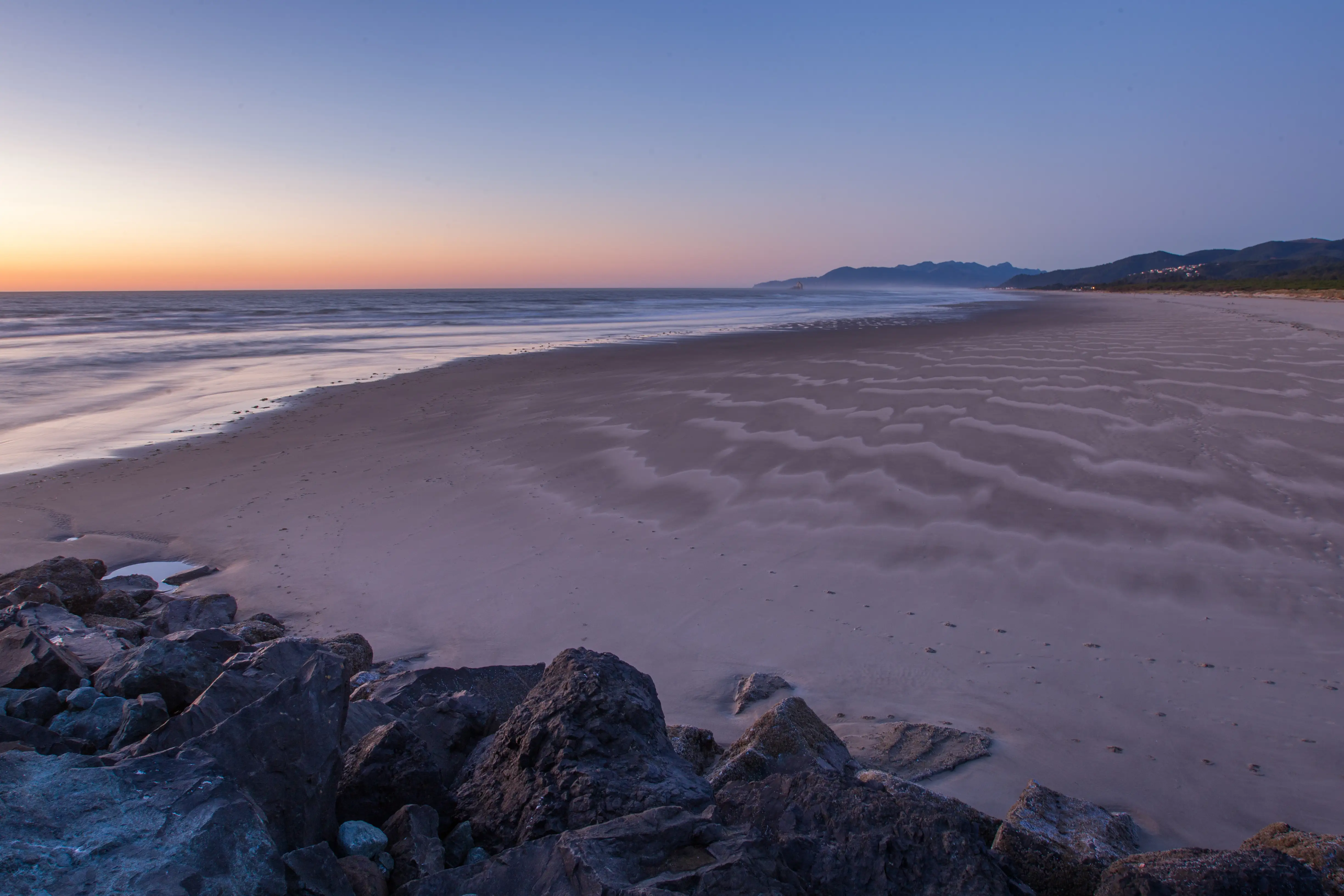
Nothing in Tillamook's outdoor inventory is quite like Bayocean Peninsula Park. The nearly four-mile-long forested sand spit separates the Pacific Ocean from Tillamook Bay, and the main loop — roughly 7.5 miles round trip to Kincheloe Point — follows an old unpaved road alongside the bay before returning along the ocean beach. It is one of the longer walks available directly from the county without driving into the forest.
What makes it genuinely unusual is what's underfoot. In 1906, a Kansas City developer launched a resort town on this 600-acre peninsula and promoted it as the Atlantic City of the West. The resort built a hotel, a natatorium, vacation cottages, and infrastructure. The ocean eroded the peninsula steadily for decades, and by 1971, Bay Ocean Park had ceased to exist — consumed entirely. The peninsula today is designated as a historical and heritage area, and pieces of the old infrastructure occasionally emerge from the sand after heavy erosion events. You are walking through the literal ruins of an ambition the Pacific simply refused to accommodate.
Practically speaking, the peninsula draws birdwatchers, hikers, cyclists, and anglers fishing the south jetty. Wildlife spotting here — shorebirds, wading birds, harbor seals in the bay — is among the most reliable in the county because the land is undeveloped and largely quiet. The catch is that parking and day-use access require a Tillamook County pass or a day-use fee. For anyone who plans to visit regularly, the annual pass pays for itself quickly.
The seasonal pattern is worth knowing. Summer brings more foot traffic from coastal tourists. Autumn and winter thin the crowds considerably, the bay lighting shifts to something colder and more dramatic, and the peninsula feels like a genuinely remote place even though you're a short drive from town. Many residents consider those off-peak months the best time to go.
Looking to buy in Tillamook? Estimate your payment.
Enter your numbers to see an estimated monthly mortgage payment.
Estimate only. Excludes HOA fees and mortgage insurance. The interest rate above is a starting point, not a quoted rate — replace it with your own to see real numbers. Insurance is a flat placeholder, not a Tillamook quote.
Fishing, Paddling & Water Recreation on Tillamook Bay
Tillamook Bay is the largest coastal bay on Oregon's north coast, and for residents who fish or paddle, that's the defining recreational fact about living here. Five rivers — the Miami, Kilchis, Wilson, Trask, and Tillamook — flow into the bay from the east, creating a watershed that supports year-round fishing and paddling access that few small cities on the Oregon Coast can match.
Fishing the Bay and Rivers
The bay produces salmon, steelhead, Dungeness crab, and multiple clam species including butter, gaper, softshell, and cockle. Fall Chinook fishing picks up in September and draws serious anglers from across the region. Crabbing is productive year-round, with the most reliable catches in winter — which is a genuine advantage in a place where winter is the dominant season. Clam digging follows tidal schedules and is a routine part of outdoor life for long-term residents.
For steelhead, the rivers feeding the bay are among the more productive coastal streams in the state during the winter run. This is not casual fishing from a bank with a lawn chair. Winter steelheading on coastal rivers is physical, demanding, and done in conditions that make fair-weather anglers reconsider. Residents who do it tend to be serious about it.
Paddling: Sloughs, Bays, and River Corridors
Paddlers can put in at city parks and access the Hoquarton Slough or head out on the rivers without driving far. The bay itself offers calm-water kayaking across its broad, sheltered expanse, with the forested hills of the coast range as a backdrop. The five-river watershed means there's a range of conditions depending on what you're looking for — flat estuary water on the slough, moving river water on the coastal streams to the east.
A local guide service, Kayak Tillamook, offers flat-water tours on the region's lakes, bays, rivers, and sloughs, which is a useful option for newcomers who want to learn the waterways before going out independently.
| Water Activity | Where | Season / Timing |
|---|---|---|
| Fall Chinook fishing | Tillamook Bay and bay-fed rivers | September onward |
| Winter steelhead | Rivers feeding the bay | Winter run |
| Dungeness crabbing | Tillamook Bay | Year-round; best in winter |
| Clam digging | Bay tideflats | Tidal dependent, year-round |
| Kayaking / slough paddling | Hoquarton Slough, bay rivers, Bay | Year-round |
| Bay beach access / jetty fishing | Bayocean Peninsula south jetty | Year-round |
The broader point for anyone evaluating Tillamook as a place to live: the water here is not decorative. It is actively used by residents who fish it, crab it, paddle it, and dig clams from it across all four seasons. That's a different relationship to outdoor recreation than what most inland cities offer — and for the right person, it is a significant part of why this particular coast town makes sense.
For families with school-age children looking at youth sports and organized activities alongside this outdoor access, the Tillamook schools page covers what the district offers through active OSAA athletics programs and extracurricular activities.
Local Expert Takeaway: Tillamook's outdoor recreation is genuinely exceptional for a city of 5,200 — a 319-foot waterfall with a half-mile trail, a coastal viewpoint with free access and whale sightings, a ghost-town peninsula with a 7.5-mile loop, and year-round Dungeness crabbing on the largest bay on Oregon's north coast. None of it is walkable from a residential street, but all of it is within fifteen minutes by car. The annual Tillamook County park pass covers county parks and boat launches and is worth buying in your first week. The weather will test newcomers — 135 sunny days a year is the honest figure, and the rest is overcast, rain, or fog. Learn to fish, crab, kayak, or simply walk in the mist, and the outdoor life here becomes one of the clearest reasons to stay.
Quick Takeaways & FAQs
✅ Tillamook sits within a short drive of Munson Creek Falls — the tallest waterfall in Oregon's Coast Range at 319 feet — with a free, half-mile trail accessible to all ages.
⚠️ With only 135 sunny days a year, outdoor recreation here means learning to enjoy rain and overcast skies; most of the best activities require a car to reach.
📍 Tillamook Bay is the largest coastal bay on Oregon's north coast, supporting year-round Dungeness crabbing, fall Chinook fishing, and flatwater paddling on five rivers that feed into it.
Is Munson Creek Falls worth visiting if I'm moving to Tillamook?
Can I kayak or paddle near Tillamook without driving far?
Is fishing in Tillamook as good as people say?
What is the Bayocean Peninsula and is it worth the trip?
Does Tillamook have a county parks pass and is it worth buying?
Moving to Oregon?
Tell us what you need help with and we'll connect you with local resources.
