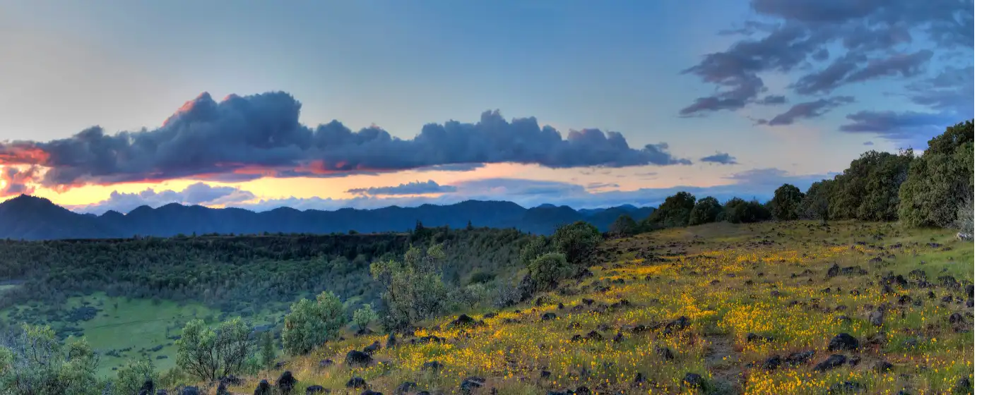
Most people researching a move to Medford focus on the price of housing or the commute numbers. What catches them off guard — pleasantly — is the scale of what's right outside the door. Medford sits in the Rogue Valley at the meeting point of I-5 and OR-62 (Crater Lake Highway), which means the city itself is the launching pad: volcanic mesas to the north, a forested peak on the eastern edge, and a continuous paved trail threading south toward Ashland and north toward Central Point. For a city of 86,483, the recreation infrastructure is outsized.
The City of Medford Parks, Recreation and Facilities Department manages over 2,500 acres of civic parkland and is the largest provider of community recreation programs and services in the Rogue Valley. That figure matters because it translates directly to daily life: maintained trails, staffed facilities, organized leagues, and the kind of park system that competes with cities twice Medford's size. The Rogue Valley Growers & Crafters Market — named one of the 10 Best farmers' markets in the nation by USA Today — runs at Hawthorne Park with more than 150 vendors, which tells you something about how seriously this community takes its public spaces.
The seasonal rhythm here is also something newcomers don't fully anticipate. With 195 sunny days a year, the outdoor window is long and genuinely usable, not just a short Pacific Northwest burst. Spring brings wildflower blooms on the Table Rocks mesas that draw visitors from across the region. Summer means high-elevation lake access up the OR-62 corridor. Fall is trail-running weather that stretches well into October. Winter rarely shuts the valley floor down — snow is a short drive up the mountain, not something that ends your weekend plans.
Whether you're trying to decide if Medford fits your lifestyle or you're already sold and want to know what your weekends will look like, the sections below cover the city's signature parks, the trail network, the Table Rocks, and the organized recreation options that make this one of Southern Oregon's most livable cities.
Bear Creek Park and the Greenway: Medford's Linear Spine
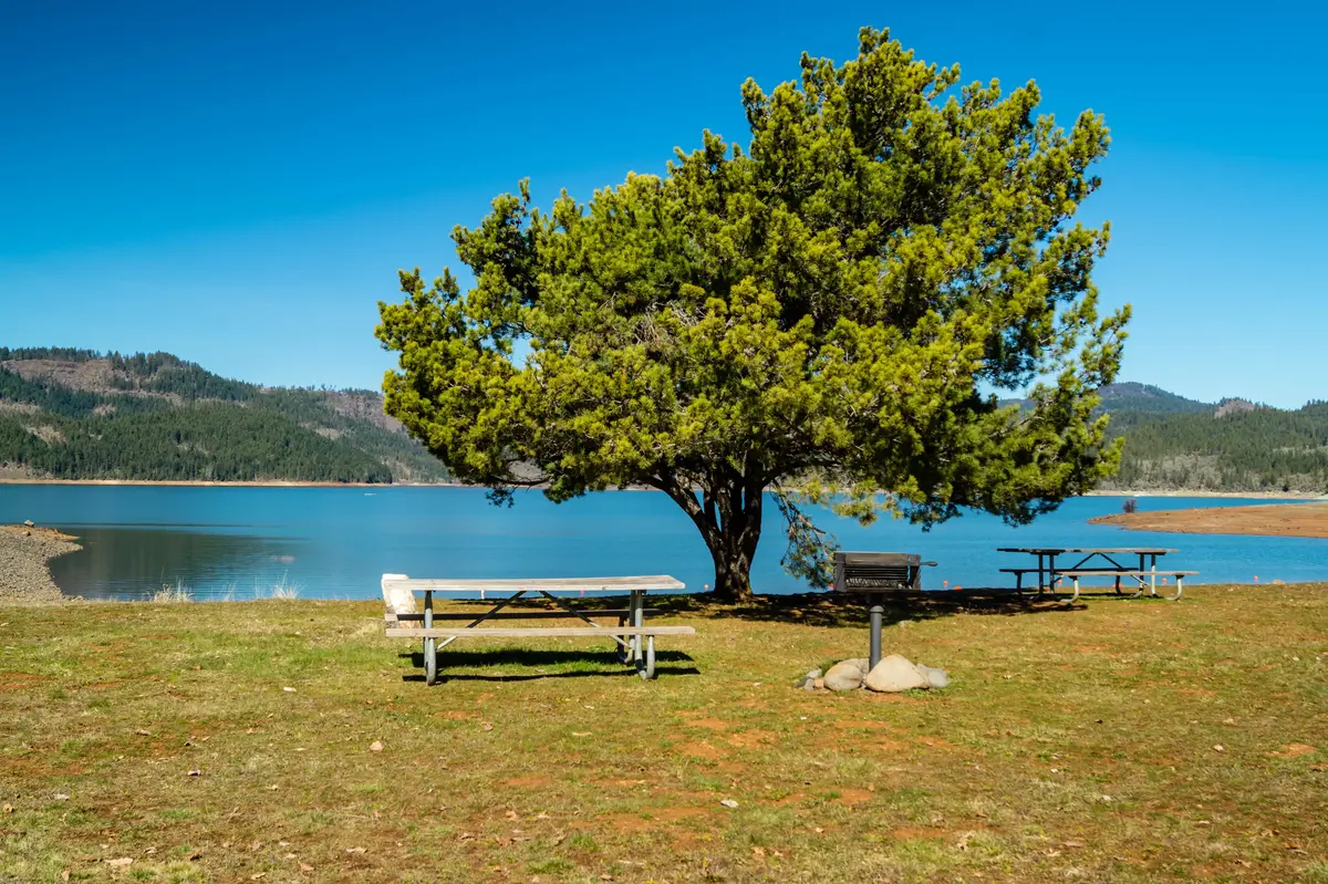
The Bear Creek Greenway is the kind of trail system that defines a city's outdoor character. At 20 miles of paved, multi-use path managed by Jackson County, it links Ashland, Talent, Phoenix, Medford, and Central Point in a nearly continuous corridor running roughly parallel to I-5 and Bear Creek itself. Only two at-grade road crossings break the route — a rarity for an urban trail of this length — and parks along the way provide parking, restrooms, and drinking water.
The Greenway passes through eight parks along its course, and it handles everything: cycling, running, skating, hiking, and wildlife watching that includes serious bird activity along the creek corridor. On a weekday morning, you'll share it with commuter cyclists and dog walkers. On a weekend afternoon, it fills with families on bikes, strollers, and rollerblades. It is not a backcountry experience — it is genuinely urban infrastructure — but as urban infrastructure goes, it's exceptional.
Bear Creek Park anchors the Medford section of the trail. At approximately 100 acres, it packs in more than most parks twice its size: a Leathers-designed playground, little-league fields, an off-leash dog area, a BMX track, barbecue areas, four rebuilt tennis courts, an outdoor amphitheater, and a 25,000-square-foot skatepark. That last one is worth noting — it's not a small concrete slab. It draws serious skaters from across the valley.
The honest caveat: because the Greenway runs parallel to I-5 and Bear Creek in an urbanized corridor, sections of it feel more utilitarian than scenic. You hear freeway noise in places. If you want solitude and a sense of wilderness, this trail isn't that. What it is — reliably — is accessible, well-maintained, and usable every single day of the year.
| Feature | Detail |
|---|---|
| Trail length | 20 miles, paved and multi-use |
| Cities connected | Ashland, Talent, Phoenix, Medford, Central Point |
| At-grade road crossings | Two |
| Parks along route | Eight |
| Bear Creek Park size | Approximately 100 acres |
| Skatepark size | 25,000 square feet |
| Dog area | Off-leash area within Bear Creek Park |
| Other amenities | BMX track, tennis courts, amphitheater, little-league fields |
Prescott Park and Roxy Ann Peak: The Mountain in the City
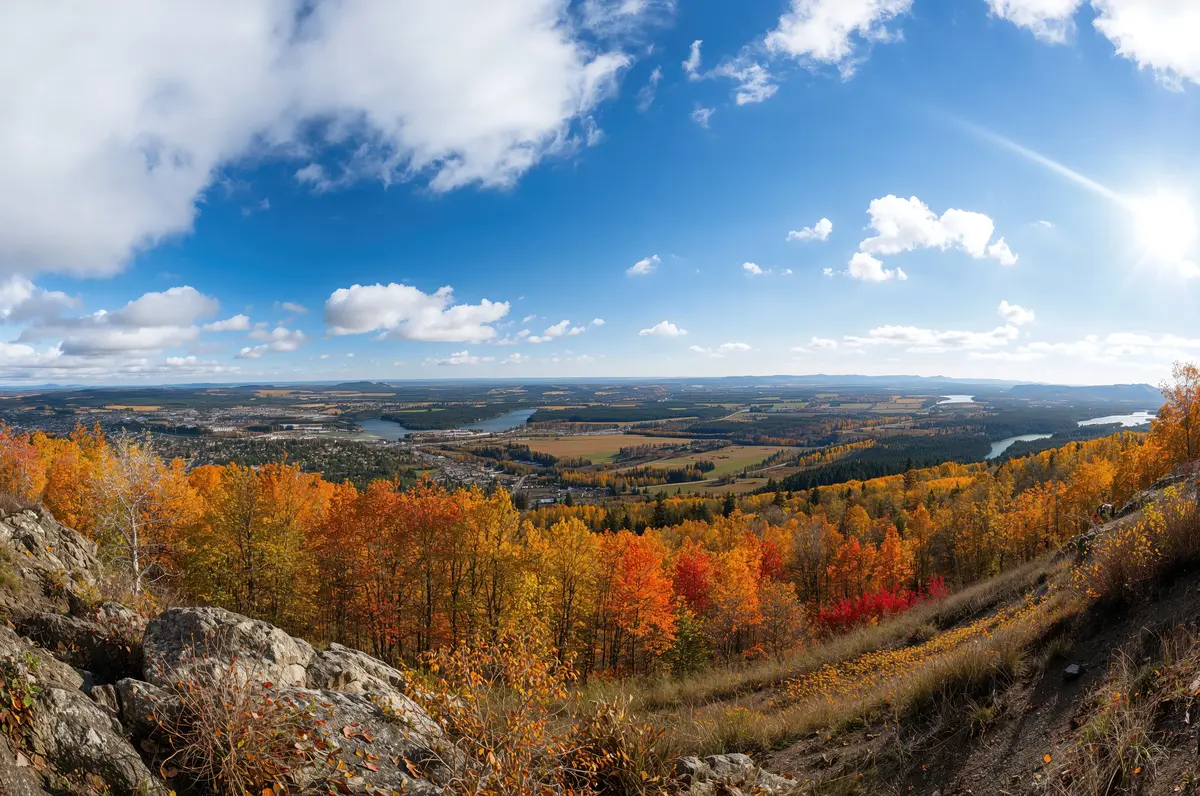
At 1,740 acres, Prescott Park on Roxy Ann Peak is believed to be the second-largest municipal park holding in Oregon. That superlative tends to land harder once you're standing at the summit: Roxy Ann rises to 3,571 feet above sea level, roughly 2,000 feet above the valley floor, and on a clear day the view extends south to Mount Shasta in California. The park sits at Medford's eastern edge, and entry is free.
The trail network covers both paved and unpaved surfaces, making it accessible for hikers at any fitness level while still offering real mountain biking terrain for riders who want it. The panoramic views from the top — 360 degrees of the Rogue Valley — are the kind of thing you stop taking for granted after about six months and then quietly start taking for granted again. Newcomers from flatter regions tend to go up multiple times in the first few weeks.
What separates Prescott Park from a typical city park is the combination of scale, elevation gain, and zero entry cost. There's no parking fee, no permit, no reservation system. You drive to the trailhead, get out, and go. That kind of frictionless access matters when you're deciding whether outdoor recreation will actually be part of your weekly routine — and in Medford, with 195 sunny days a year, the conditions support it.
The one thing worth managing expectations on: because the park is large and the trail network is spread across a forested peak, some routes are more rugged and less marked than what hikers used to manicured state-park systems might expect. Go in knowing that — and bring a downloaded map, not just cell service.
Upper and Lower Table Rocks: The Regional Landmark Worth Your Time
The Table Rocks are the most visually distinctive feature of the Rogue Valley, and they're a short drive north of Medford near Central Point. Two volcanic mesas — Upper and Lower — rise sharply from the valley floor, jointly managed by The Nature Conservancy (3,591 acres) and the Medford Bureau of Land Management (1,280 acres). On a clear spring weekend, the trailhead parking fills well before midday — these mesas draw hikers from across Southern Oregon and beyond.
The hikes themselves are accessible but not trivial. Upper Table Rock is a 2.5-mile round trip with approximately 720 feet of gain, ending on an 800-foot flat mesa. Lower Table Rock is a moderate 5.4-mile round trip gaining 780 feet. Both trails are open year-round, and dogs, horses, and flower-picking are prohibited — rules the land managers enforce consistently.
The spring wildflower bloom on the mesas is genuinely something. Peak season runs March through May, with a secondary surge in September and October. The Nature Conservancy and the BLM Medford District have offered free guided educational hikes each spring for more than 38 consecutive years, covering geology, wildflowers, cultural history, and night sky. That program alone tells you the kind of community engagement these mesas support.
The friction moment that trips up new residents: everyone hears about the Table Rocks in their first month and makes a mental note to go. Many don't make it until they have out-of-town visitors as the excuse. Don't wait for visitors. Go in April, during the wildflower window, before the summer heat sets in and the mesa top bakes. That trip will recalibrate how you think about where you live.
| Trail | Distance (round trip) | Elevation Gain | Notes |
|---|---|---|---|
| Upper Table Rock | 2.5 miles | ~720 feet | Ends on 800-foot flat mesa; suitable for most fitness levels |
| Lower Table Rock | 5.4 miles | ~780 feet | Moderate; longer approach with mesa views |
| Peak wildflower season | — | — | March–May; secondary surge September–October |
| Guided hikes | — | — | Free; offered by TNC and BLM for 38+ consecutive years |
| Dogs/horses allowed | — | — | No; flower-picking also prohibited |
Looking to buy in Medford? Estimate your payment.
Enter your numbers to see an estimated monthly mortgage payment.
Estimate only. Excludes HOA fees and mortgage insurance. The interest rate above is a starting point, not a quoted rate — replace it with your own to see real numbers. Insurance is a flat placeholder, not a Medford quote.
Organized Recreation, Seasonal Activities, and the Bigger Picture
Beyond the trails and parks, Medford's recreation scene runs deeper than most cities its size. The Jackson County Sports Park — the primary county athletic facility serving Medford — is a serious multi-use complex featuring a 1/3-mile dirt oval track, a 1/4-mile drag strip, a go-kart track, public shooting ranges, a 10-field youth ballfield complex operated by the Upper Rogue Cal Ripken program, and fishing ponds. It covers the kind of organized-sport infrastructure that typically requires a much larger metro area.
For youth sports and kids' programming, the city's parks department runs leagues and structured activities that keep the Jackson County Sports Park and Bear Creek Park busy across all seasons. For the full picture on youth athletic options, the schools page covers extracurricular programming in more depth.
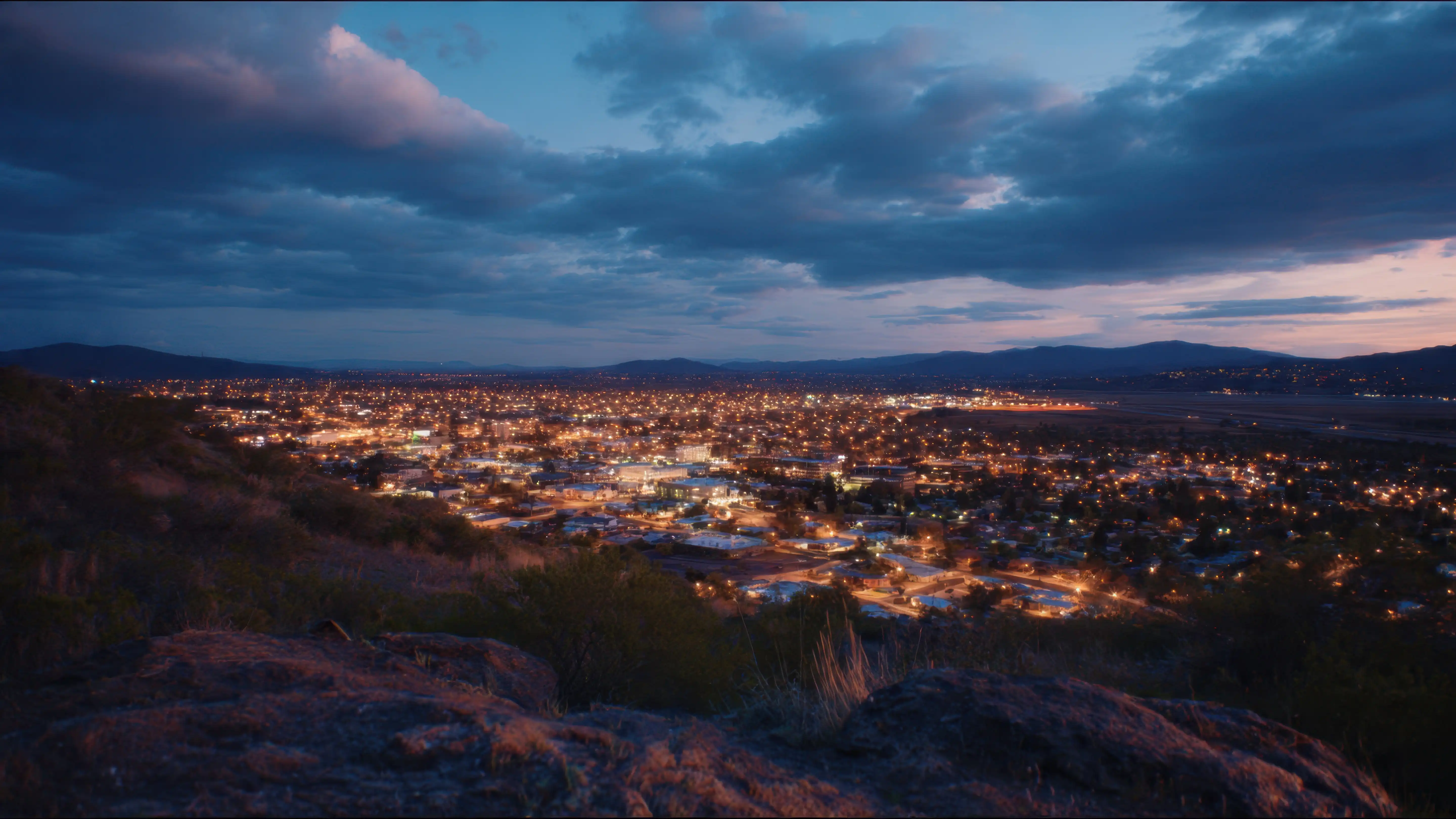
The seasonal calendar has a logic worth understanding before you move. Spring and early summer are prime trail and greenway season — cool mornings, long evenings, dry ground. High summer in the valley can push above 100°F, which shifts outdoor activity toward early mornings and drives people up OR-62 toward higher elevation and the lakes along the Crater Lake Highway corridor. Fall is arguably the best outdoor window: cooler temperatures, reduced crowds on the Table Rocks, and color in the hills around Prescott Park. Winter rarely closes the valley-floor trails; if you want snow, it's a drive up the mountain, not something that interrupts your daily run.
The Rogue Valley Growers & Crafters Market adds a community dimension that sits at the edge of recreation and civic life. Named one of the 10 Best farmers' markets in the nation by USA Today, it runs in Medford at Hawthorne Park with more than 150 vendors offering locally grown produce, artisan foods, flowers, and handcrafted goods. It runs through the warm months and functions the way good farmers markets do everywhere — as the weekly gathering point that anchors a neighborhood's social rhythm.
The honest summary: Medford's recreation infrastructure punches well above its weight for a city of 86,483. The combination of an urban trail system, a free 1,740-acre mountain park, iconic volcanic mesas nearby, and a well-funded parks department gives residents options across every season without requiring a long drive. The trade-off is that summer heat compresses the comfortable outdoor window in ways that newcomers from the coast or the Pacific Northwest interior don't always anticipate. Plan around it rather than fighting it, and the outdoor life here is hard to argue with.
Local Expert Takeaway: Medford's strongest recreation asset isn't any single park — it's the combination of a free, 1,740-acre mountain park (Prescott Park on Roxy Ann Peak) right on the city's edge, a 20-mile paved greenway threading through the valley, and the Table Rocks mesas a short drive north. With 195 sunny days a year and a parks department that is the largest recreation provider in the Rogue Valley, the outdoor infrastructure here is genuinely exceptional for a mid-sized Oregon city. New residents who build the Greenway and Prescott Park into their weekly routine — and make the Table Rocks hike at least once each spring during wildflower season — consistently report that outdoor access was among the top reasons they don't regret the move.
Quick Takeaways & FAQs
✅ The Bear Creek Greenway gives Medford 20 miles of paved, year-round trail connecting five cities — the kind of urban trail infrastructure most cities twice this size don't have.
⚠️ Summer heat regularly exceeds 100°F in the valley, which compresses the comfortable outdoor window and pushes heavy activity to early mornings or higher elevations up the OR-62 corridor.
📍 Prescott Park on Roxy Ann Peak is believed to be the second-largest municipal park holding in Oregon at 1,740 acres — and entry is free, with no permits or fees required.
Is the Bear Creek Greenway safe to use year-round?
How hard is the hike to the top of Prescott Park / Roxy Ann Peak?
When is the best time to hike the Table Rocks near Medford?
What organized recreation options does Medford have for kids and adults?
Does Medford have a farmers market, and how does it compare to other Oregon markets?
Moving to Oregon?
Tell us what you need help with and we'll connect you with local resources.
