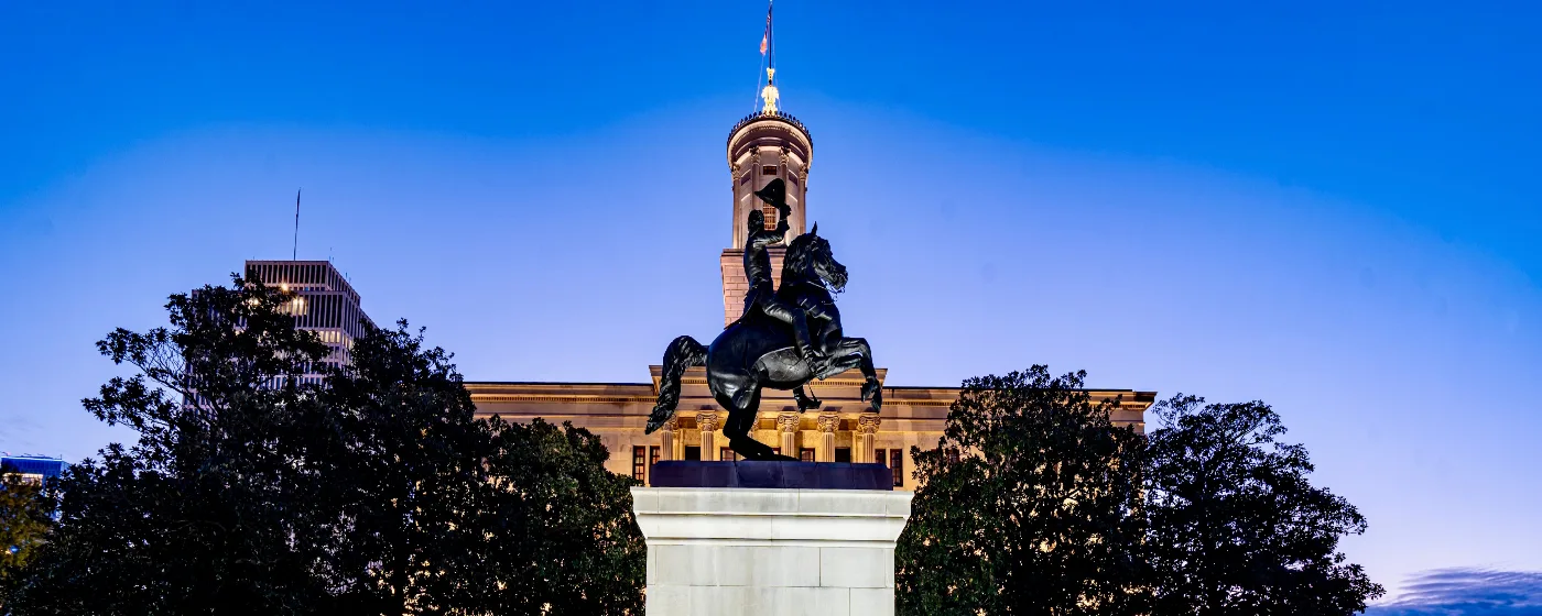
Most people moving to a city of 14,350 expect to drive somewhere to find real outdoor recreation. In Elizabethton, the trails, rivers, and parkland are already inside the city limits — or start right at the edge of them. The Doe River runs through the heart of downtown, the Tweetsie Trail connects you to Johnson City on a 9.6-mile multi-use path, and a six-mile linear trail links the city's parks all the way to a National Historic Landmark. The mountains that frame the skyline aren't scenery — they're access.
What makes this unusual for a small Tennessee city isn't just the quantity of outdoor assets but the variety. On any given weekend you can walk a 134-year-old covered bridge, follow a riverside trail to a reconstructed colonial fort, attend a free outdoor concert, or drive about 20 miles to one of the country's most dramatic rhododendron displays. Elizabethton's Parks & Recreation Department manages 101 acres of parkland across eight named parks, and that figure doesn't include the state parks, gorge trails, or watershed lands tied to the city's water supply.
The honest caveat: Elizabethton gets around 198 sunny days a year — fewer than many Southeastern cities — and the mountains that make the landscape stunning also create overcast stretches, particularly in winter. That's worth knowing before you picture year-round blue-sky trail days. Still, the outdoor infrastructure here is genuinely exceptional relative to the city's size, and it draws residents who moved specifically for it. Whether you're looking at neighborhoods near the river corridor or weighing the overall affordability picture, the recreation access is a meaningful part of what Elizabethton offers.
The sections below cover the city's signature parks and green spaces, the trail network connecting them, the water and gorge recreation south of town, and the seasonal events and regional draws — including Roan Mountain — that round out life here year-round.
Signature Parks: Covered Bridge Park and Sycamore Shoals
The two parks that define Elizabethton's outdoor identity couldn't be more different in scale or character — and the fact that both sit within the city makes the combination unusual.
Covered Bridge Park
At 2.25 acres on both sides of the Doe River in the heart of downtown, Covered Bridge Park punches well above its footprint. The park anchors around the 1882 Elizabethton Covered Bridge — a 134-foot wooden Howe Truss span that is one of only two bridges in Tennessee to carry a Tennessee Historical marker. Two pavilions, a gazebo, a fountain, picnic tables, and a large multi-use stage make this the city's most-used gathering space.
The covered bridge itself is open to pedestrians and cyclists year-round. It's the kind of place where you realize the city actually built its recreation infrastructure around a working landmark rather than turning it into a museum piece.
What most newcomers don't know until their first summer: the park hosts the Covered Bridge Jams concert series, drawing crowds to live music nearly every weekend through the warm months. The monthly Bites by the Bridge food truck event runs alongside it. June brings the week-long Covered Bridge Days festival — country and gospel performances, a car club show on Elk Avenue, food and craft vendors — and the bridge anchors both the July 4th and Christmas parade routes. The social calendar here is built around this park more than anywhere else in the city.
Sycamore Shoals State Historic Park
Just over a mile from downtown, Sycamore Shoals State Historic Park spans approximately 75.78 acres along the Watauga River. It holds National Historic Landmark designation for its role in the settlement of the Trans-Appalachian frontier and the founding of Tennessee and Kentucky — a status that sets it apart from the average city-adjacent state park.
The park includes a reconstructed Fort Watauga, a visitor center with museum exhibits, walking trails, and historic homes. Living history programming — traditional arts and craft classes, military musters — runs throughout the year. Each July, the park hosts Liberty! The Saga of Sycamore Shoals, Tennessee's Official Outdoor Drama, performed in a 240-seat amphitheater with the fort as its backdrop. It's one of the few places in the state where you can spend a morning on a riverside walking trail and an evening watching outdoor theater on the same grounds.
| Park | Size | Key Features | Best For |
|---|---|---|---|
| Covered Bridge Park | 2.25 acres | 1882 covered bridge, stage, pavilions, gazebo, fountain | Walkable Families |
| Sycamore Shoals State Historic Park | 75.78 acres | Fort Watauga, museum, river trails, amphitheater, historic homes | Nature Families |
| Hampton Watershed Bike & Hike Trail | 238 acres | 3.5 mi single-track, 500 ft elevation gain, Doe River views | Nature |
| Elizabethton Linear Trail | ~6 miles | River corridor, fishing spots, bike racks, connects city parks | Commuter Families |
| Roan Mountain State Park | 2,006 acres | Hiking, biking, trout fishing, camping, rhododendron gardens | Nature Views |
| Doe River Gorge | 370+ acres | 4.9-mi gorge trail, tunnels, trestles, former rail bed | Nature Privacy |
The Trail Network: Linear Trail, Tweetsie Trail, and Watershed Trails
Elizabethton's trail infrastructure is what separates it from comparable small Tennessee cities. Three distinct systems cover different distances, surfaces, and skill levels — and they're meaningfully connected rather than isolated amenities.
The Elizabethton Linear Trail
The six-mile Linear Trail is the spine of the city's outdoor network. It follows the Doe River through the center of Elizabethton, then traces the Watauga River downstream to Sycamore Shoals State Historic Park. Fishing spots, bike racks, picnic tables, and benches are spaced along the route, and the trail connects to several of the city's eight parks along the way.
For residents, this is the everyday trail — the one you use on a weekday lunch break or an early-morning run. The river views hold through most of the route, and the connection to Sycamore Shoals means a six-mile out-and-back can include a stop at a National Historic Landmark.
The Tweetsie Trail
The Tweetsie Trail is Elizabethton's most significant regional asset in the trail category. At 9.6 miles, it is the longest rails-to-trails project in Tennessee, following the former East Tennessee & Western North Carolina Railroad corridor between Elizabethton and Johnson City. The compacted stone surface is flat-grade, crosses seven bridges, and accommodates walkers, runners, cyclists, and leashed dogs.
The practical implication for new residents: this trail makes a car-free connection to Johnson City genuinely usable. That's not something most small Tennessee cities can claim. Cyclists in reasonable shape make the one-way trip as a regular commuter or recreation ride. The trail's condition and flat profile also make it unusually accessible for riders and walkers who aren't looking for technical terrain.
Hampton Watershed Bike & Hike Trail
For riders and hikers who want elevation, the Hampton Watershed system is the answer. On 238 acres owned by the City of Elizabethton, the current 3.5 miles of single-track deliver 500 feet of elevation gain with views of the Doe River. It sits adjacent to Cherokee National Forest, which extends the possible routes considerably.
The system is the most technically demanding trail option within the city's direct control — a meaningful contrast to the flat Tweetsie corridor. Riders who want both surfaces in one day can run the watershed trails in the morning and the Tweetsie in the afternoon without leaving the Elizabethton area.
Water Recreation and the Gorge: Doe River and Beyond
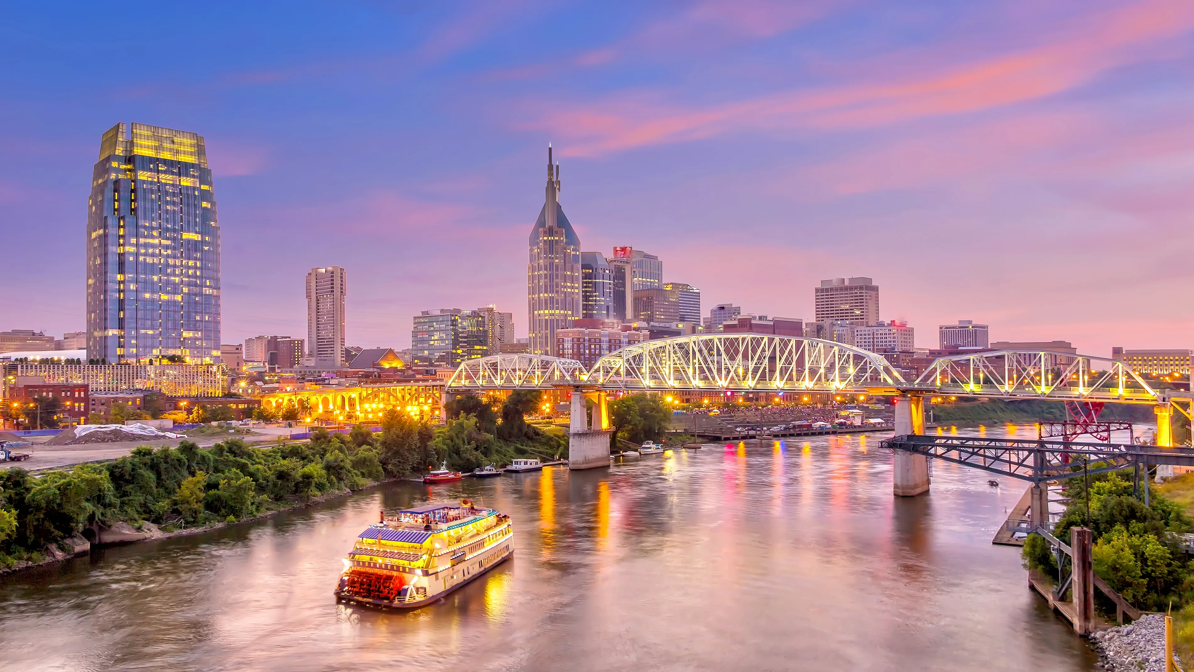
The Doe River is not incidental to Elizabethton — it is the city's geographic spine. Two rivers, one gorge, and a state park with trout-stocked waters give the city a water recreation profile that few places its size can match.
Doe River Gorge
About seven miles south of the city near Hampton, Doe River Gorge cuts through the mountains on a scale that surprises people who haven't seen it. The gorge is operated by Doe River Gorge Ministries on more than 370 acres. A 4.9-mile public hiking trail follows the former Tweetsie railroad bed through the gorge, passing through tunnels and over trestles in the narrow canyon.
The access arrangement is material to know before you plan a trip: the public hiking trail is available with advance permission from the ministry. That requirement filters the experience — the gorge stays quiet, which is a genuine draw — but it also means showing up unannounced won't work.
The gorge trail is among the most dramatic short hikes in Northeast Tennessee. The combination of tunnel passages, trestle crossings, and the narrow river canyon is genuinely unlike anything else within easy reach of Elizabethton.
Roan Mountain State Park
Approximately 20 miles from Elizabethton, Roan Mountain State Park covers 2,006 acres and operates as a year-round destination. Hiking, mountain biking, trout fishing in the Doe River, and camping are the core activities. In winter, cross-country skiing is available — an unusual amenity for a Tennessee state park.
The park is the gateway to what is documented as the world's largest natural Catawba rhododendron garden — 600 acres of blooms, celebrated at the Roan Mountain Rhododendron Festival each June. The Appalachian Trail traverses the summit ridge with unobstructed views in multiple directions. If you're moving to Elizabethton and you haven't driven up Roan Mountain in June, put it on the list for your first summer.
One thing that catches people by surprise after moving here: the two-lane mountain roads leading to Roan Mountain and the gorge are not fast drives, particularly after rainfall. The distances look short on a map and feel longer on the road. Plan for it rather than expecting interstate-style travel times.
Looking to buy in Elizabethton? Estimate your payment.
Enter your numbers to see an estimated monthly mortgage payment.
Estimate only. Excludes HOA fees and mortgage insurance. The interest rate above is a starting point, not a quoted rate — replace it with your own to see real numbers. Insurance is a flat placeholder, not a Elizabethton quote.
Beyond the Monthly Mortgage Payment — What to Factor In
- The property tax rate above — The 0.55% used in the estimate is the median effective rate — tax actually paid as a share of market value — published by Ownwell, 2026. Half of local homes pay more and half pay less: your own bill depends on that property's assessed value and any exemptions it qualifies for, which can differ a lot from its market price. Confirm with the Carter County assessor before you budget.
- Total cost of ownership — Your monthly mortgage payment is just the baseline. Depending on the specific city, county, and service district, homeownership costs also include local utility fees, municipal surcharges, and special assessments (such as water, sewer, storm drainage, or local energy taxes) that vary by location.
- Independent due diligence — Because these recurring local costs and municipal fees change depending on the exact property address, buyers must research them independently during their transaction process.
Tax laws, local municipal fees, and utility costs change frequently and individual situations vary. This page is general information, not tax or legal advice — always consult a qualified tax professional, CPA, or local municipal offices for personalized guidance.
Weekends and Local Favorites: Where Elizabethton Residents Actually Spend Their Time
Knowing the parks on a map is one thing. Understanding how residents actually use them is different — and in Elizabethton, the patterns are pretty consistent once you've been here a few months.
The Covered Bridge Corridor
Covered Bridge Park is where the social life concentrates on warm weekends. The Covered Bridge Jams concert series fills the park's multi-use stage with live music nearly every weekend through the summer, drawing a consistent crowd from across the city. The Bites by the Bridge food truck event draws a crowd on its own. Locals who've lived here for years point to these events as the reason they feel connected to the city rather than just living near a park.
The Elizabethton Farmers Market is the other recurring anchor. For anyone moving from a larger city, the scale is modest — but the regulars are consistent and the produce is genuinely local in a way that matters to the people who show up for it.
Coffee and Recovery on the Trail
After a Tweetsie Trail ride or a Linear Trail run, a handful of options exist for the kind of recovery stop that makes a morning out feel complete. Doe River Roasters and 7 Brew Coffee are the two local names that come up most often among residents. The Coffee Company rounds out the independent coffee presence in the city. None of these are inside the parks themselves, but they're close enough to the trail corridors that the sequence — trail, then coffee — is a familiar rhythm.
For a longer meal, Mayflower Seafood Restaurant, J's Corner, The Black Olive- Elizabethton, and Puerto Nuevo Freshmex And Seafood represent the range of sit-down options residents return to. None of them require leaving the city.
What Six Months Here Actually Looks Like
New residents consistently say the same thing about their first full year: they underestimated how much of their leisure time would shift outdoors. The Linear Trail becomes part of the routine faster than expected, and the pull of Roan Mountain in June — specifically the rhododendron bloom — is one of those local experiences that feels impossible to adequately describe beforehand.
What people are less prepared for is the winter. The mountains create cloud cover that doesn't let up for stretches in January and February, and the gorge trail's access window adds an extra logistical step when you actually want to use it. None of it outweighs the summer and fall, but going in with realistic expectations about Northeast Tennessee winters makes the first one easier to navigate. For a full picture of what living here costs and what the city offers beyond the trails, see the Elizabethton overview.
Local Expert Takeaway: Elizabethton's outdoor infrastructure is the city's most underappreciated asset. The Tweetsie Trail alone — 9.6 miles connecting downtown to Johnson City on Tennessee's longest rails-to-trails path — is the kind of amenity most cities twice Elizabethton's size don't have. Add the Linear Trail linking downtown parks to Sycamore Shoals, a gorge trail through tunnels and over trestles south of town, and Roan Mountain's 2,006 acres about 20 miles out, and you have a recreation profile that regularly surprises people who moved here primarily for the home prices. The catch is access logistics: Doe River Gorge requires advance permission from the ministry, mountain roads add time to what looks like a short drive, and winter cloud cover is real. Go in knowing that and you'll use the outdoor network constantly. Ignore it and you'll find yourself surprised by how good it is in month three.
Quick Takeaways & FAQs
✅ The Tweetsie Trail is Tennessee's longest rails-to-trails project at 9.6 miles, connecting Elizabethton to Johnson City on a flat, multi-use path open year-round.
⚠️ Doe River Gorge's public hiking trail requires advance permission from Doe River Gorge Ministries — planning ahead is essential, and showing up unannounced won't get you access.
📍 Covered Bridge Park hosts the Covered Bridge Jams concert series and the monthly Bites by the Bridge food truck event — the park is where the city's social outdoor life actually happens.
Is the Tweetsie Trail suitable for casual cyclists and families with kids?
Can I hike Doe River Gorge any time I want?
When is the best time to visit Roan Mountain?
What events happen at Covered Bridge Park throughout the year?
How does Elizabethton's trail system connect to the rest of the city?
Moving to Tennessee?
Tell us what you need help with and we'll connect you with local resources.
