
You don't move to a city of 5,795 people expecting a world-class park system. Then you learn that Philomath sits nine miles from the highest point in Oregon's Coast Range, borders a 586-acre old-growth forest, and has a river park with a free disc golf course and a beach within walking distance of downtown. The outdoor situation here is quietly absurd for a town this size — and it's the thing residents mention most when they explain why they stay.
The city itself maintains 11 parks across roughly 44 acres, ranging from the historic Philomath City Park with Newton Creek running through it to a dedicated nature-play park and a Veterans Memorial Park. Those 44 acres are just the start: Benton County, the Siuslaw National Forest, and Corvallis Parks all manage additional land that Philomath residents use as freely as anything the city runs. The regional trail network weaves through the Greenbelt Land Trust, Oregon State University research forests, and national forest land — making the effective outdoor footprint many times larger than any single boundary suggests.
The seasonal rhythm here is built around what's accessible and when. Marys Peak draws hikers from spring through fall and cross-country skiers when the snow arrives. The Marys River warms slowly through June and becomes the center of family summer life by July. Beazell Memorial Forest runs year-round regardless of weather. Newcomers who arrive expecting a sleepy bedroom community and discover they can be on a summit with Cascade views in under half an hour tend to recalibrate their expectations fast.
Whether you're choosing a neighborhood based on trail proximity, figuring out which parks work for dogs, or planning your first winter snowshoe, the sections below break down Philomath's city park system, its two crown-jewel natural areas, and the broader regional trail network that makes this small Willamette Valley town genuinely worth lacing up your boots for.
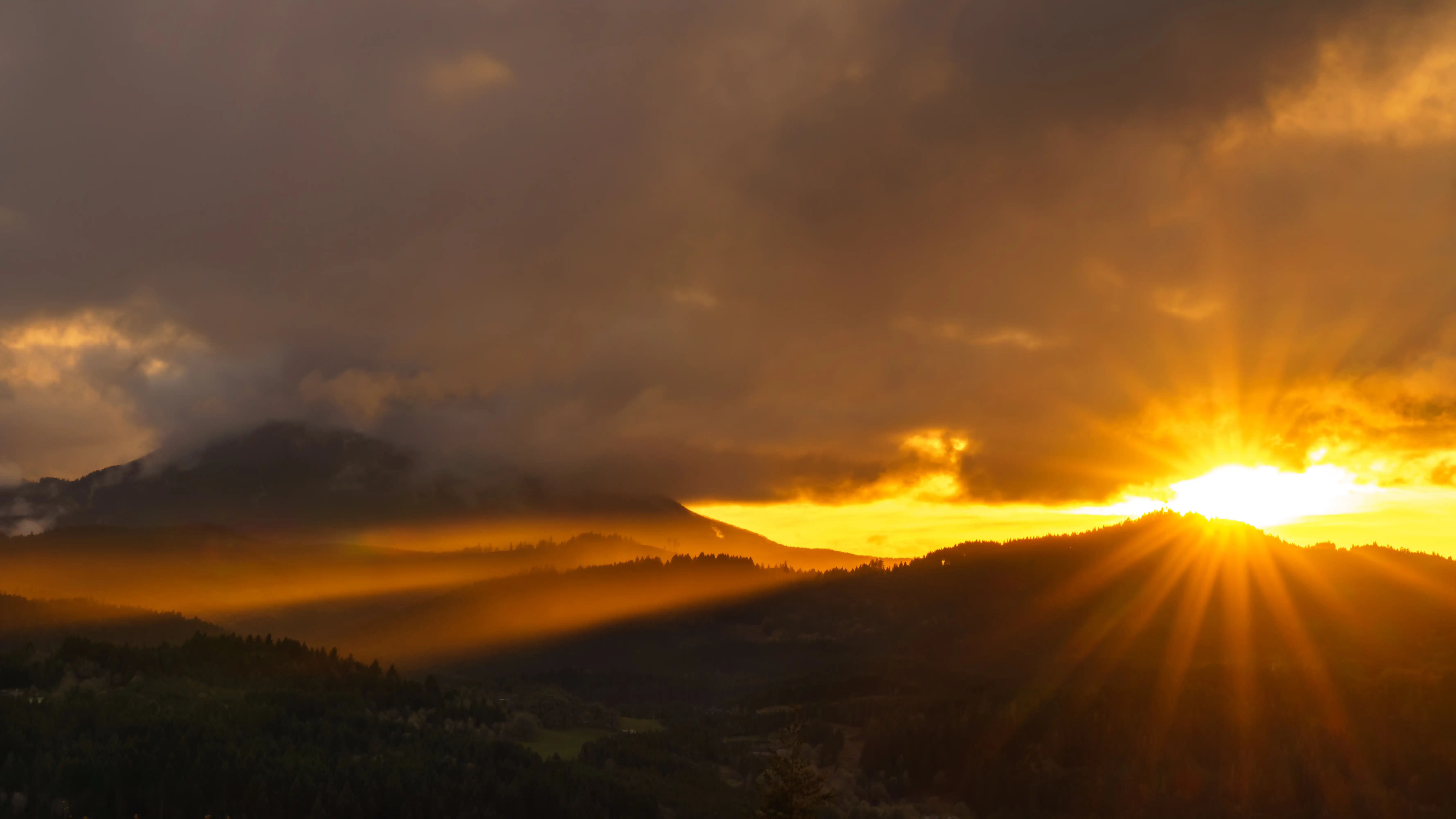
The City Park System: Small Footprint, Serious Amenities
Eleven parks in 44 acres sounds modest until you start mapping what's actually in them. The city has packed basketball courts, pickleball, disc golf, a skate park, dog parks, fitness stations, trails, and a covered community hall into a footprint that punches well above its size.
Philomath City Park: The Community Hub
Philomath City Park is the oldest in the system — 10.5 acres with Newton Creek threading through the middle of it. The creek isn't just scenery; it shapes the park's character, breaking up what could be a flat municipal rectangle into something with actual topography and shade.
The amenity list here is longer than you'd expect: a baseball field, a skate park designed for beginners, two large playground areas, a fitness area, a dog park, walking paths, and a gazebo. The Randy Kugler Community Hall adds a year-round indoor/outdoor shelter with heat and electricity — which matters in a place that sees fewer than 159 sunny days a year.
The park also functions as the city's event commons. The Music in the Park summer concert series draws residents from across town, and the Classic Car Show and National Night Out both run here. If you want to meet your neighbors fast after moving in, this is where that happens.
Marys River Park and Natural Area: The Underrated One
The 28-acre Marys River Park is the park that surprises people most. It reads like a natural area — trails, three bridges, river access — but it also has a free 9-hole disc golf course, horseshoe pits, a covered picnic shelter with water and electricity, a playground, and an unfenced off-leash dog area.
The real draw in summer is the beach. A 0.25-mile path leads to a small river beach where the Marys River slows and warms enough for wading and family water play. This is where Philomath families spend July afternoons. It's not a lake resort — it's a gentle, slow-moving river in the shade of Coast Range foothills — but it fills a real need in a town this size.
The gap worth knowing: the city's 2022 Parks & Trails Master Plan acknowledges that the system currently lacks a large multi-sport complex. If structured multi-sport facilities are a priority for your household, that's a genuine limitation — one the master plan is working toward addressing, but not yet resolved.
| Park | Size | Key Amenities | Best For |
|---|---|---|---|
| Philomath City Park | 10.5 acres | Baseball, skate park, two playgrounds, dog park, fitness area, gazebo, community hall | Families Community Events |
| Marys River Park & Natural Area | 28 acres | Disc golf (free), river beach, trails, bridges, horseshoe pits, off-leash dog area, picnic shelter | Nature Families |
| Veterans Memorial Park | Part of 44-acre system | Memorial space, passive recreation | Quiet |
| Neighborhood Parks (various) | Distributed across system | Basketball, pickleball, trails, nature play | Families Walkable |
All city parks run dawn to dusk. The system is actively maintained and well-used — on a dry weekend morning, you'll find Philomath City Park occupied within an hour of sunrise.
Marys Peak: A Coast Range Summit at Your Back Door
Nine miles southwest of Philomath via OR-34, Marys Peak rises to 4,097 feet — the highest point in Oregon's Coast Range. It is not a metaphor for the town's ambition. It is an actual mountain, designated a Scenic Botanical Area by the Siuslaw National Forest, with five interconnecting trails and summit views that stretch from the Pacific Ocean to the Cascade peaks.
What the Mountain Actually Offers
The trail network covers the full vertical range of the peak: five named routes — the Meadowedge, East Ridge, North Ridge, Summit, and Tie trails — move through old-growth Douglas-fir at the lower elevations and open into high noble fir forest before reaching the grass-bald summit meadows. The wildflower display in the meadows, typically peaking in late spring and early summer, is the kind of thing that converts reluctant hikers.
On a clear day — and Philomath's 159 sunny days a year are spread unevenly, with summer clarity being the most reliable — the summit delivers a panorama from Mount Rainier in the north to Diamond Peak to the southeast, with the Pacific visible to the west. It's a view that takes some adjustment: the scale of it doesn't register until you're standing in it.
Indigenous peoples of the region historically called the peak Timanwi, meaning "place of spiritual power." That history matters to the landscape's stewardship, and it's worth knowing before you visit.
Seasonal Access and Practical Notes
The summit road is gated during the winter months, but the East Ridge Trailhead at Conner's Camp remains accessible year-round. When snow falls at the higher elevations, that access point opens up cross-country skiing and snowshoeing — a winter use that most Willamette Valley residents living farther from the Coast Range simply don't have.
In 2025, Trailkeepers of Oregon rerouted the Summit Loop trail to protect sensitive sections of the summit meadow. The reroute is a sign of active, thoughtful stewardship — the kind that keeps a place like this from being loved to death.
A Northwest Forest Pass is required for the summit parking area. Plan for that before your first visit — it's a straightforward annual or day-use purchase, but showing up without one on a summer weekend is the most common Philomath newcomer mistake at Marys Peak.
Beazell Memorial Forest and Bald Hill: Old Growth and Oak Savanna
Marys Peak gets the attention, but two other natural areas define daily outdoor life for Philomath residents who want something closer, or something different.
Beazell Memorial Forest: 586 Acres of Coast Range Temperate Rainforest
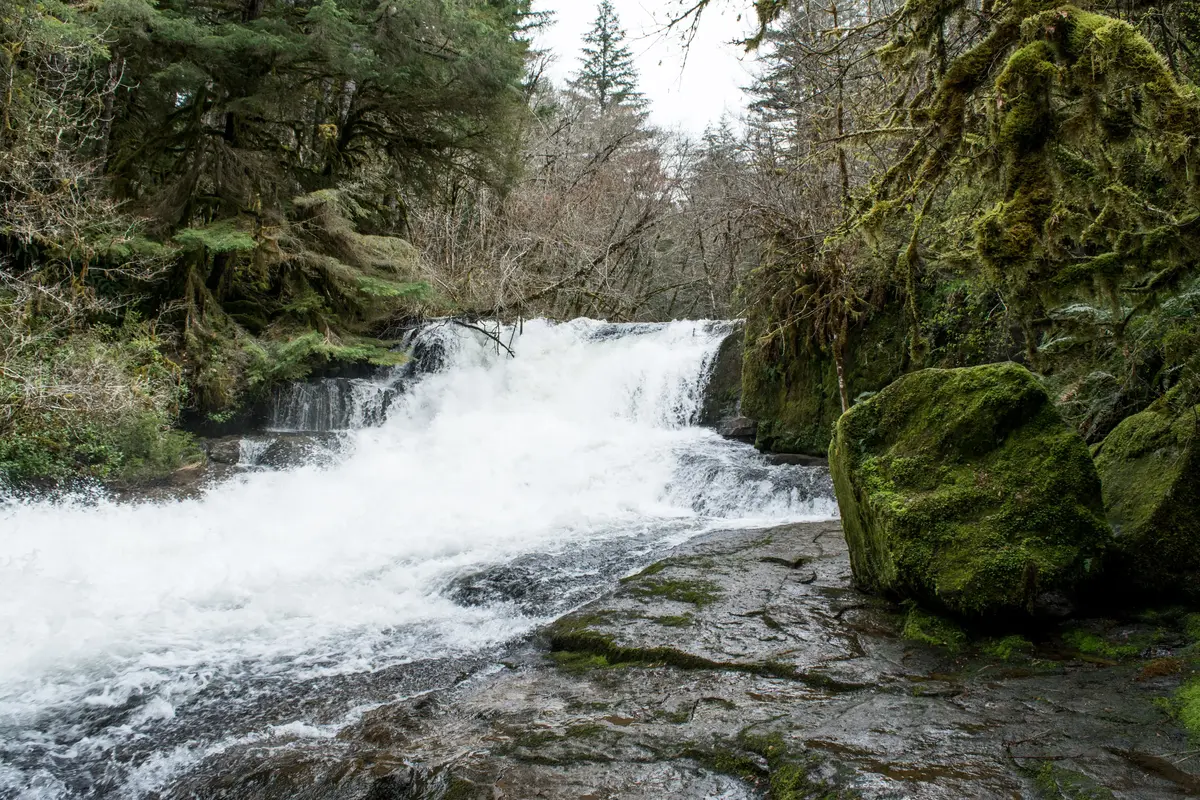
Beazell Memorial Forest is the largest park maintained by Benton County — 586 acres of temperate rainforest in the Coast Range foothills northwest of Philomath. The habitat range here is genuinely diverse: riparian forest along the creek bottoms, Douglas-fir forest on the slopes, oak savanna on the drier exposures, and open grassland on the higher ground.
The trail system scales to whatever you're looking for. The Bird Loop clocks in at under a mile and works for families with young kids or anyone who just wants to step into the forest for thirty minutes. More ambitious combinations push up to 5 miles, moving through old-growth stands and open meadows that feel genuinely remote — which they are not, given that Philomath's downtown is not far away.
Trails here are open to hikers, riders, and mountain bikers year-round, which makes Beazell the go-to winter trail option when the higher elevations are snowed in. An 1875 farmhouse and the Beazell Forest Education Center — housed in a converted barn on-site — add a layer of history and environmental programming that distinguishes this from a pure recreation area.
Bald Hill Natural Area: The View from the Edge of Town
Bald Hill Natural Area sits at the Philomath/Corvallis border and is managed by the City of Corvallis — but Philomath residents use it as freely as any city park. The 284-acre area offers approximately 5 miles of dirt and gravel trails ranging from easy to rigorous, plus a paved 1.5-mile multi-use path.
The Allen Throop Loop at the summit is the payoff: an open meadow with a wide view that looks directly at Marys Peak to the southwest and down over the rooftops of both Philomath and Corvallis. In spring and early summer, bluebirds work the oak savanna pastures below the summit — the kind of casual birdwatching detail that makes a local trail feel like more than just exercise.
For trail runners and birdwatchers in particular, Bald Hill is probably the most-used outdoor space in the immediate vicinity. It's close enough to reach on foot from some Philomath neighborhoods, and challenging enough to be worth the trip even when you don't have much time.
| Natural Area | Size | Trail Range | Managed By | Best For |
|---|---|---|---|---|
| Marys Peak Recreation Area | Summit at 4,097 ft | 5 interconnecting trails, varies | Siuslaw National Forest | Nature Views |
| Beazell Memorial Forest | 586 acres | Under 1 mi to 5+ mi loops | Benton County | Nature Families |
| Bald Hill Natural Area | 284 acres | ~5 mi trails + 1.5 mi paved | City of Corvallis | Views Nature |
| Marys River Park & Natural Area | 28 acres | Walking trails + beach path | City of Philomath | Families Nature |
Looking to buy in Philomath? Estimate your payment.
Enter your numbers to see an estimated monthly mortgage payment.
Estimate only. Excludes HOA fees and mortgage insurance. The interest rate above is a starting point, not a quoted rate — replace it with your own to see real numbers. Insurance is a flat placeholder, not a Philomath quote.
Seasonal Recreation and the Regional Trail Picture
Philomath's recreation calendar doesn't follow a single season. It stacks them: spring wildflowers at Marys Peak, summer river days at Marys River Park, fall color through Beazell's Douglas-fir stands, and winter snowshoeing at Conner's Camp when the conditions cooperate. The overlap between those windows is genuinely rare for a Willamette Valley town at this elevation.
What the Regional Network Adds
Benton County Parks coordinates a trail network that connects the City of Philomath, Corvallis Parks and Recreation, the Siuslaw National Forest, Oregon State University research forests, and the Greenbelt Land Trust into a single regional system. For a resident, that means the effective trail inventory is not 44 city-park acres — it's a connected landscape of old-growth, oak savanna, river bottom, and Coast Range summit accessible from the same regional hub.
The practical implication: residents who want long-distance trail experiences don't have to drive far to find continuous trail connections across different land managers and habitat types. That's a meaningful amenity that doesn't show up on any city park map.
The Honest Friction Points
Two things catch newcomers off guard. First, the Marys Peak summit road closes seasonally, and if you don't know about the Conner's Camp trailhead, you'll drive to a gate and turn around — which is a frustrating first winter experience. Knowing about that East Ridge access point year-round is the local knowledge that separates returning visitors from first-timers.
Second, the city's 2022 Parks & Trails Master Plan is candid about where the system is still growing: a large multi-sport complex is among the priorities identified for future development. Families with kids who want structured programming beyond what the parks currently offer typically look to Corvallis, about 12 minutes away. It's not a dealbreaker, but it's worth understanding before you settle on a neighborhood. The master plan reflects ongoing investment rather than a finished system.
For youth sports and organized activities specifically, see the Philomath schools page for what the district and community programs currently offer.
Weekends and Local Favorites
The outdoor scene and the social scene intersect most visibly at a handful of spots worth knowing. Dirt Road Brewing and Vinwood Taphouse both draw the post-hike crowd — the kind of places where trail talk is the default conversation on a Saturday afternoon. The Philomath Farmers' Market runs through the warm months and anchors the downtown rhythm on market days. Eats & Treats, The Dizzy Hen, and Woodsman Dining round out the casual dining options for before or after a day outside. Timber Towne Coffee and The Human Bean handle the early-morning pre-hike contingent. If you're spending a weekend day at Beazell or Marys Peak and want to make an afternoon of it, the return trip through town is already planned.
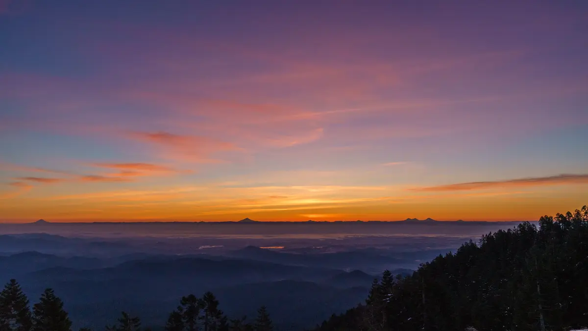
Local Expert Takeaway: Philomath's outdoor infrastructure is the strongest argument for the city that most listings never mention. The combination of Marys River Park for summer river days, Beazell Memorial Forest for year-round trail running and horse riding, Bald Hill for the easiest summit views in the area, and Marys Peak for a genuine Coast Range alpine experience — all within 15 miles — is simply unusual for a city of 5,795 people. If the outdoor calendar is what drives your household's weekend plans, Philomath is set up in a way that most similarly sized Oregon towns are not.
Quick Takeaways & FAQs
✅ Philomath gives residents access to a Coast Range summit at 4,097 feet, 586 acres of old-growth forest, and a free river beach — all within 15 miles of downtown.
⚠️ The 2022 Parks & Trails Master Plan identifies a large multi-sport complex as a future priority, so families needing that level of structured programming typically look to Corvallis facilities in the meantime.
📍 The Marys Peak summit road closes seasonally in winter, but the East Ridge Trailhead at Conner's Camp stays accessible year-round for snowshoeing and cross-country skiing — a detail most newcomers don't know until they hit the gate.
What are the best hiking trails near Philomath, Oregon?
Is there a river beach or swimming spot in Philomath?
Does Philomath allow dogs in its parks?
Can you ski or snowshoe near Philomath in winter?
How many parks does Philomath have, and are they well-maintained?
Moving to Oregon?
Tell us what you need help with and we'll connect you with local resources.
